
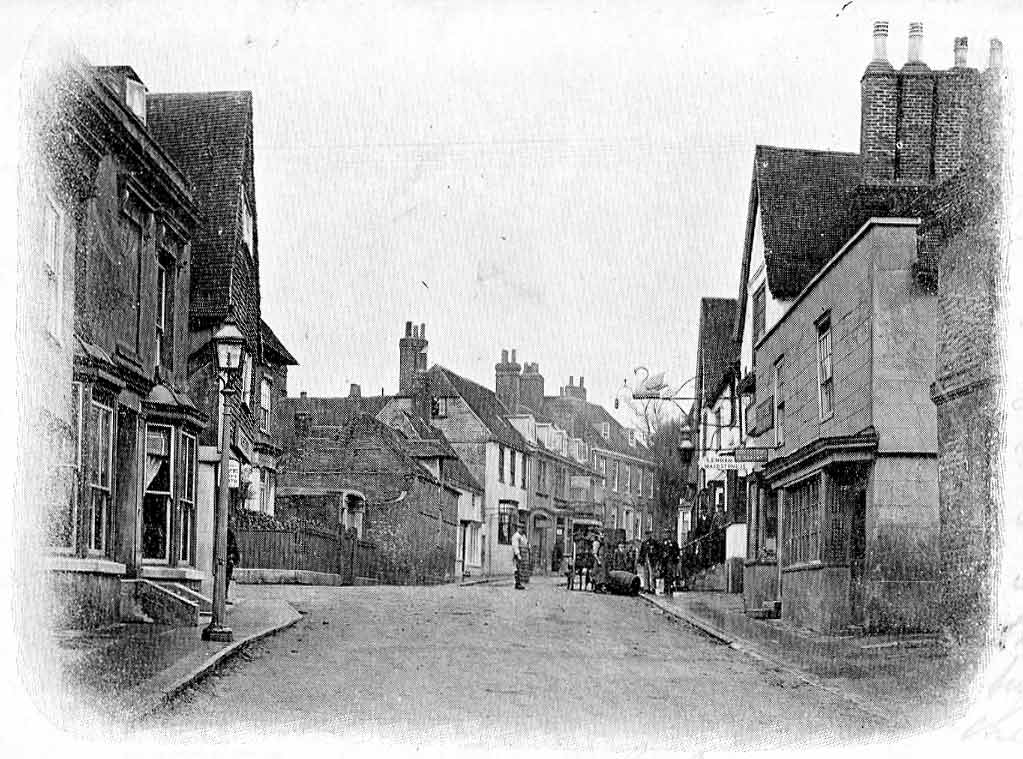


Why visit Charing
Townapedia lists 7 museums and landmarks, 10 parks and trails, 14 places to eat, 5 places to stay and 4 attractions in and around town.
Highlights include 'The Cross': a hill-figure war memorial at Lenham, Belmont House and Gardens, Kiln Wood and Spuckles and Kennelling Woods.
Weather in Charing
Forecast from MET Norway (CC BY 4.0). Full forecast
About Charing
Charing () is a village and civil parish in the Ashford district of Kent, in south-east England. It includes the settlements of Charing Heath and Westwell Leacon. It is located at the foot of the North Downs and reaches up to the escarpment. In 2011 the parish had a population of 2,766.
From the Wikipedia article Charing (this version), under CC BY-SA 4.0.
Things to do4
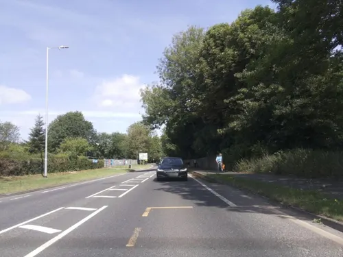
Charing Farm Shop
Farm and orchard
Charing Farm Shop Ashford Road, Charing

Museums and landmarks7

'The Cross': a hill-figure war memorial at Lenham
Monument and historic site · 3.6 mi
War memorial in Lenham, Kent, England, UK

Belmont House and Gardens
Museum · 4.8 mi
Georgian house and gardens in Throwley, Kent, England, UK
Godinton House
Museum · 3.9 mi
Grade I listed country house in Great Chart with Singleton, Kent, England, UK

Parks, trails and playgrounds10


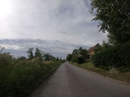




Restaurants and cafes14
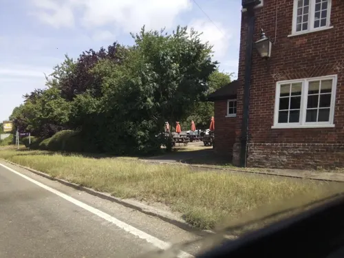
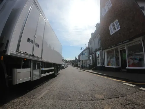
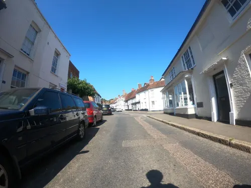
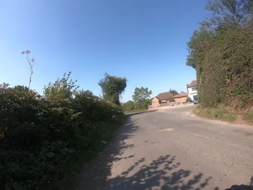
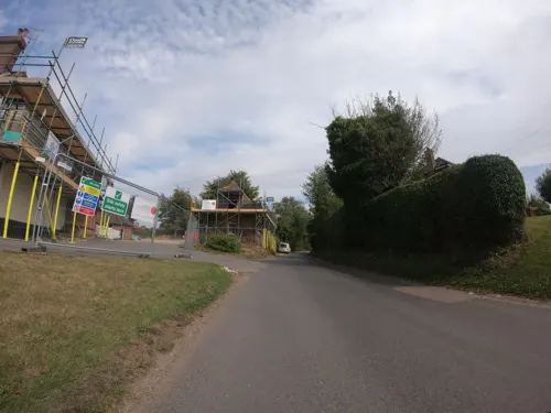
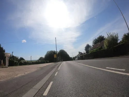

The Plough Inn
Bar and pub · 2.2 mi
Stalisfield Road, Stalisfield
Mo-Tu Closed We-Th 12:00-15:00 16:30-22:00 Fr 12:00-15:00...
2 more on the map.
History
The name Charing first appears in 799 as Ciorrincg. The name probably comes from the Anglo-Saxon word cerring, which means a bend in the road, or it may be from Ceorra-ingas, which is Anglo-Saxon, meaning people of Ceorra. The village is sited on the Pilgrims' Way from London to Canterbury, and is one day's walk from Canterbury. There are a number of old manors located around the village, such as Newlands (now a horse stud) and Pett Place. The village had a market recorded in 1285, and a fair recorded in the fifteenth century.
The Church of St Peter and St Paul, Charing, the parish church of Charing, is situated next to the remains of the Archbishop's Palace, just off the High Street. The church's west tower was built in the 14th century, though most of the rest of the building was reconstructed following a catastrophic fire in the 16th century. The church contains a number of memorials to the Dering family, a branch of the Dering family of Surrenden Dering, Pluckley, Kent.
From the History section of Charing on Wikipedia, under CC BY-SA 4.0.
Notable people from Charing
- Arthur Ashwellcricketer (1908-1985)
Born in Charing, according to Wikidata (CC0). Each name links to its Wikipedia article.
Where to stay5
Churches and places of worship10
Shopping1
Gas and EV charging2
Schools, colleges and libraries3
Healthcare1
Map of Charing
57 places. The map loads OpenStreetMap tiles when you open it.
Getting there and nearby towns
Rochester Airport (RCS) is the nearest airport with scheduled flights listed in OpenStreetMap, 16 miles away.
- Ashford 6 mi southeast, about 9 min by car
- Harrietsham 6 mi west, about 9 min by car
- Shadoxhurst 7 mi south, about 12 min by car
- Faversham 8 mi northeast, about 13 min by car
- High Halden 8 mi southwest, about 13 min by car
- Sittingbourne 9 mi north, about 15 min by car
- Woodchurch 9 mi south, about 15 min by car
- Maidstone 13 mi west, about 20 min by car
- Canterbury 13 mi east, about 21 min by car
- Whitstable 14 mi northeast, about 23 min by car
Drive times are estimates from straight-line distance, not routes.
Towns near Charing


Keep exploring
Local news
Headlines from INDB.
Reviews, tips and questions
Loading what members have shared...
Sources and licences
- GeoNames (CC BY 4.0): population, coordinates, regions and time zone
- Mapillary (see each image): photos
- OpenStreetMap contributors (ODbL 1.0): places, airports, map data
- Wikidata (CC0 1.0): elevation, founding date, time zone, website, landmarks and historic places
- Wikimedia Commons (see each image): photos
- Wikipedia (CC BY-SA 4.0): overview and history text
Photo credits
- High Street, Charing, Kent, c1905, The original uploader was Humansdorpie at English Wikipedia ., Public domain
- Charing, Kent High Street at night, with Christmas lights, Logan Palmer-Harris, CC BY-SA 4.0
- Flush Bracket at Charing Market Place, Ray Hutchings, CC BY-SA 4.0
- Lenham Cross, North Downs Way, Lenham, Kent - April 2025, Mertbiol, CC0
- Kiln Wood 2, Dudley Miles, CC BY-SA 4.0
- Spuckles Wood 1, Dudley Miles, CC BY-SA 4.0
- St Nicholas, Pluckley, Poliphilo, CC0
- St. Christpher's Church, Boughton Lees 04, Simon Burchell, CC BY-SA 3.0
- Derelict church, Eastwell, near Ashford, Kent, England UK, jwfairley, CC BY 2.0
- Boardwalk in Hothfield Common Nature Reserve, Kent, David Anstiss, CC BY-SA 2.0
- Street-level photo, southglos, CC BY-SA 4.0
- Street-level photo, paulbiv, CC BY-SA 4.0
- Street-level photo, paulbiv, CC BY-SA 4.0
- Street-level photo, paulbiv, CC BY-SA 4.0
- Street-level photo, paulbiv, CC BY-SA 4.0
- Street-level photo, tallguy, CC BY-SA 4.0
- Street-level photo, paulbiv, CC BY-SA 4.0
- Street-level photo, paulbiv, CC BY-SA 4.0
- Street-level photo, southglos, CC BY-SA 4.0
- Street-level photo, southglos, CC BY-SA 4.0
- Street-level photo, paulbiv, CC BY-SA 4.0
- Street-level photo, paulbiv, CC BY-SA 4.0
- Street-level photo, paulbiv, CC BY-SA 4.0
- Street-level photo, tallguy, CC BY-SA 4.0
- Street-level photo, paulbiv, CC BY-SA 4.0
- Street-level photo, paulbiv, CC BY-SA 4.0


Page built November 10, 2026. Spotted a mistake? Tell us or suggest a place.