


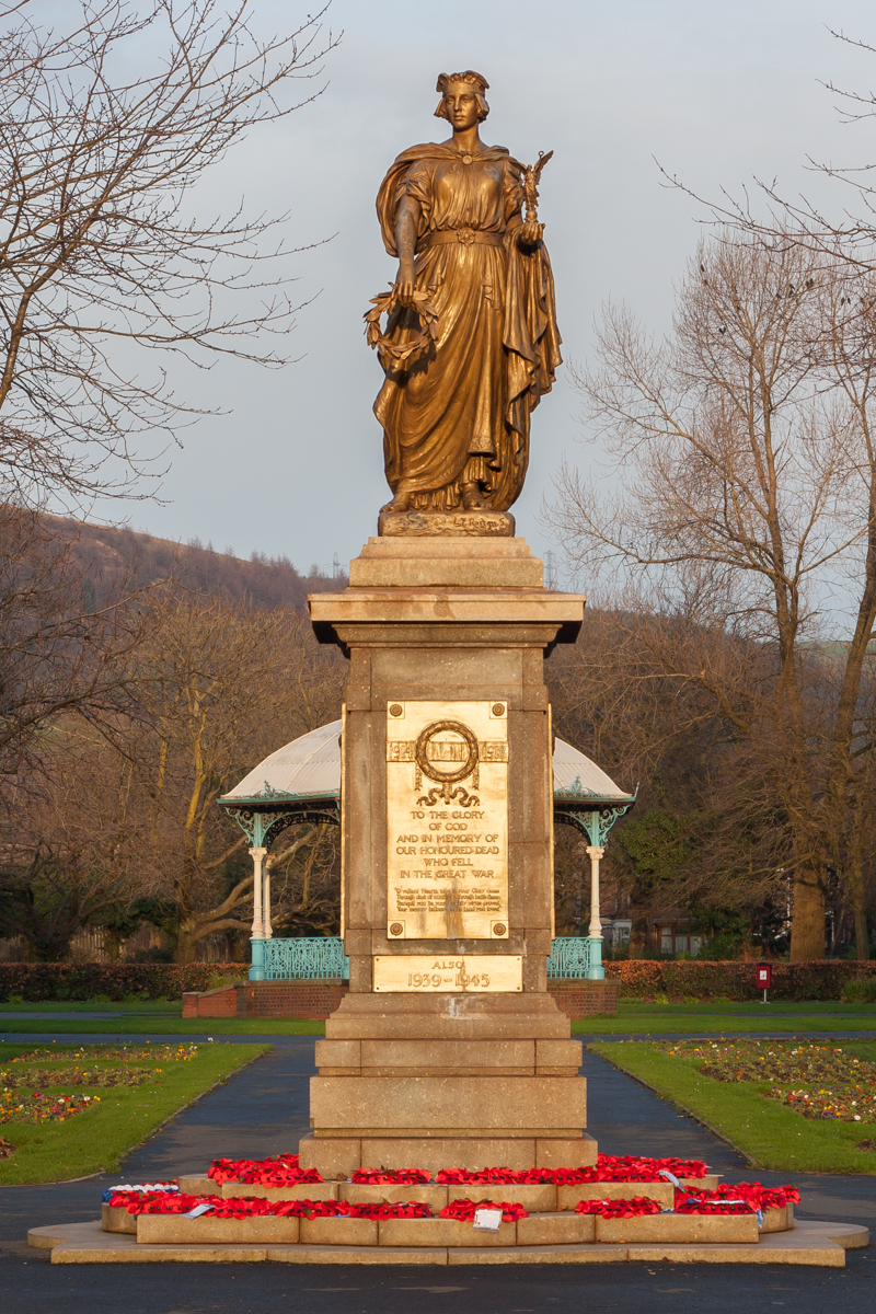


Briton Ferry, United Kingdom
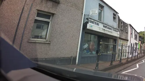
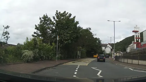
Briton Ferry is a town of 35,179 people in Wales, United Kingdom.
Why visit Briton Ferry
Townapedia lists 11 museums and landmarks, 13 parks and trails, 22 places to eat, 4 places to stay and 9 attractions in and around town.
Highlights include Aberavon Beach, Gwyn Hall, Craig Ty-Isaf and Neath Castle.
Weather in Briton Ferry
Forecast from MET Norway (CC BY 4.0). Full forecast
About Briton Ferry
Briton Ferry (Welsh: Llansawel) is a town and community in the county borough of Neath Port Talbot, Wales. The Welsh name may indicate that the church, llan, is protected from the wind, awel. Alternatively, Sawel may be a derivative of Saul, St Paul's earlier name, who, supposedly, once landed at Briton Ferry. An alternative Welsh name unused today is Rhyd y Brython, a direct translation of Briton Ferry.
From the Wikipedia article Briton Ferry (this version), under CC BY-SA 4.0.
Things to do9




Museums and landmarks11

Craig Ty-Isaf
Monument and historic site · 1.0 mi
Hillfort in Neath Port Talbot

Neath Castle
Monument and historic site · 2.4 mi
Castle in Neath, Wales, UK


Port Talbot War Memorial
Monument and historic site · 3.6 mi
Grade II* listed building in Neath Port Talbot County Borough



Buarth-y-Gaer
Monument and historic site · 1.5 mi
Archaeological site in United Kingdom
Parks, trails and playgrounds13


Gnoll Estate Country Park
Park · 2.6 mi
Park in the Vale of Neath, Wales
Victoria Gardens, Neath
Park · 2.2 mi
Grade II registered park In Wales



1 more on the map.
Restaurants and cafes22
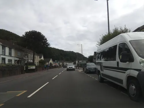
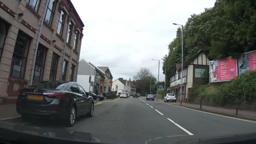
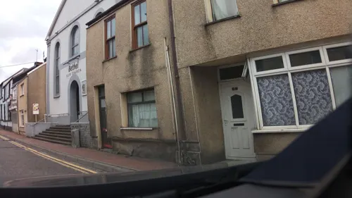



Baglan Fish Bar Restaurant
Restaurant · Fish And Chips · 0.9 mi
86 Fairwood Drive, Port Talbot
10 more on the map.
Notable people from Briton Ferry
 Mary OwenWelsh hymn-writer (1796-1875)Photo: Richard Hopkins, Public domain
 Edward PeggeWelsh rugby union playerPhoto: Unknown author Unknown author, Public domain
- Harold WilliamsWelsh footballer (1924-2014)
- Roy Johnfootballer (1911-1973)
- Billy SladeWelsh cricketer (1941-2019)
- Bill Daviescricketer (1906-1971)
- Vernon MorrisWelsh cricketer (1894-1973)
- Arthur ThomasWelsh cricketer (1895-1953)
- Edward JamesWelsh cricketer (1896-1975)
- Edgar CooperWelsh cricketer (1891-1959)
- Eveline Willett CunningtonSocial reformer, feminist, lecturer, writer
- Phil Holmeassociation football player (born 1947)
Born in Briton Ferry, according to Wikidata (CC0). Each name links to its Wikipedia article.
Where to stay4
Churches and places of worship24
Shopping6
Gas and EV charging5
Schools, colleges and libraries13
Healthcare2
Map of Briton Ferry
109 places. The map loads OpenStreetMap tiles when you open it.
Getting there and nearby towns
Swansea Airport (SWS) is the nearest airport with scheduled flights listed in OpenStreetMap, 11 miles away.
- Neath 2 mi north, about 4 min by car
- Swansea 5 mi west, about 9 min by car
- Clydach 5 mi northwest, about 8 min by car
- Maesteg 7 mi east, about 11 min by car
- Pyle 9 mi southeast, about 15 min by car
- Gorseinon 10 mi west, about 16 min by car
- Ystalyfera 10 mi north, about 15 min by car
- Porthcawl 12 mi southeast, about 19 min by car
- Bridgend 14 mi southeast, about 22 min by car
- Coity 14 mi southeast, about 22 min by car
Drive times are estimates from straight-line distance, not routes.
Towns near Briton Ferry


Keep exploring
Local news
Headlines from INDB.
Reviews, tips and questions
Loading what members have shared...
Sources and licences
- GeoNames (CC BY 4.0): population, coordinates, regions and time zone
- Mapillary (see each image): photos
- OpenStreetMap contributors (ODbL 1.0): places, airports, map data
- Wikidata (CC0 1.0): elevation, founding date, time zone, website, landmarks and historic places
- Wikimedia Commons (see each image): photos
- Wikipedia (CC BY-SA 4.0): overview and history text
Photo credits
- Aberavon Beach view to Swansea Bay, Darren Wyn Rees, CC BY-SA 4.0
- Craig Ty-isaf enclosure, nr Baglan, May 2014 (1), RobinLeicester, CC BY-SA 3.0
- NeathCastleRemains, Darren Wyn Rees at Aberdare Blog, CC BY 3.0
- Port Talbot War Memorial Talbot Park, Sean Pursey, CC BY-SA 3.0
- Afan Forest Park 1, Purple128, CC BY-SA 3.0
- St Joseph's Church front, Port Talbot by Jon K, Jon K., CC BY-SA 2.0 uk
- Ebenezer chapel, Aberavon, Jaggery, CC BY-SA 2.0
- Holy Cross Church, Port Talbot, Lewis Hulbert, CC BY-SA 4.0
- The Lightship (4973890411) (2), Ben Salter from Wales, CC BY 2.0
- Nidum Fort, hugh llewelyn, CC BY-SA 2.0
- Street-level photo, southglos, CC BY-SA 4.0
- Street-level photo, southglos, CC BY-SA 4.0
- Street-level photo, southglos, CC BY-SA 4.0
- Street-level photo, southglos, CC BY-SA 4.0
- Street-level photo, southglos, CC BY-SA 4.0
- Street-level photo, southglos, CC BY-SA 4.0
- Street-level photo, southglos, CC BY-SA 4.0
- Street-level photo, southglos, CC BY-SA 4.0
- Street-level photo, toho, CC BY-SA 4.0
- Street-level photo, southglos, CC BY-SA 4.0
- Street-level photo, southglos, CC BY-SA 4.0


Page built November 10, 2026. Spotted a mistake? Tell us or suggest a place.