



Llanfairfechan, United Kingdom
Llanfairfechan is a town of 3,637 people in Wales, United Kingdom.
Why visit Llanfairfechan
Townapedia lists 2 museums and landmarks, 4 parks and trails, 10 places to eat, 5 places to stay and 4 attractions in and around town.
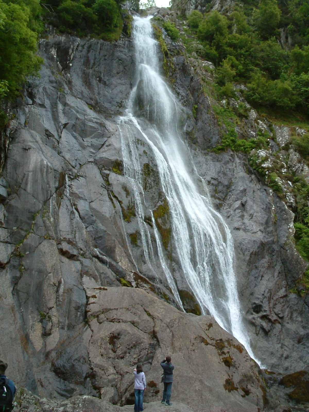
Highlights include Aber Falls, Traeth Lafan, Braich-y-Ddinas and Llanfairfechan Golf Club.
Weather in Llanfairfechan
Forecast from MET Norway (CC BY 4.0). Full forecast
About Llanfairfechan
Llanfairfechan (Welsh for 'little St Mary's parish'; ) is a town and community in the Conwy County Borough, Wales. It is known as a seaside resort and had a population at the 2001 Census of 3,755, reducing to 3,637 at the 2011 Census. The history of the area dates back to at least Roman times, as demonstrated by the discovery of a large second century milestone, which is now preserved in the British Museum.
From the Wikipedia article Llanfairfechan (this version), under CC BY-SA 4.0.
Travel tips from other travellers: Llanfairfechan on Wikivoyage (CC BY-SA 4.0).
Things to do4



Museums and landmarks2

Braich-y-Ddinas
Monument and historic site · 1.1 mi
Destroyed large hillfort above Penmaenmawr, Conwy Burough Council, Wales

Parks, trails and playgrounds4


Restaurants and cafes10


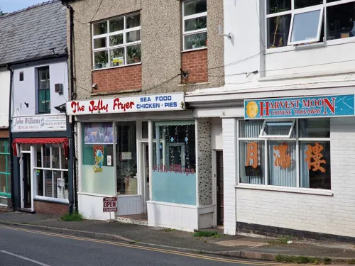
Jolly Fryer
Fast food · Fish And Chips, Chicken
Station Road, Llanfairfechan
Tu-Th 12:00-14:00,17:00-20:30; Fr,Sa 12:00-02:00,17:00-21:00; Mo...


Llanfairfechan Sailing Club
Bar and pub
Promenade, Llanfairfechan
Tu-Th,Su 17:00-22:00; Fr 17:00-24:00; Sa 17:00-23:00
History
There are a number of prehistoric sites on the hills above the village. The most important of these today is the old hillfort of Dinas; but the large defensive fortress of Braich-y-Dinas, at the summit of Penmaenmawr, was among the largest in Britain and Ireland until it was finally destroyed by quarrying at the start of the 20th century.
As in the case of Penmaenmawr, the present town grew up as a granite quarrying town and a seaside town from the mid-19th century onwards. At one time there were hundreds of men working in the Penmaenmawr quarry, but today quarrying has stopped completely on this side of the mountain.
Heidelberg Materials Aggregates Penmaenmawr currently employs about ten people at the quarry.
From the History section of Llanfairfechan on Wikipedia, under CC BY-SA 4.0.
Notable people from Llanfairfechan
 Valentine Bakerserved in all three of the British Armed Forces during the First World WarPhoto: Subject's family, Public domain
Born in Llanfairfechan, according to Wikidata (CC0). Each name links to its Wikipedia article.
Where to stay5
Coed Y Gelli Bed and Breakfast
Motel and hotel · 0.9 mi
Aber Road, Llanfairfechan
Churches and places of worship5
Shopping1
Schools, colleges and libraries3
Healthcare3
Map of Llanfairfechan
37 places. The map loads OpenStreetMap tiles when you open it.
Getting there and nearby towns
RAF Valley - Anglesey Airport (VLY) is the nearest airport with scheduled flights listed in OpenStreetMap, 23 miles away.
- Penmaenmawr 2 mi east, about 3 min by car
- Bangor 7 mi west, about 11 min by car
- Tregarth 7 mi southwest, about 11 min by car
- Llansantffraid Glan Conwy 7 mi east, about 12 min by car
- Llandudno 8 mi northeast, about 12 min by car
- Menai Bridge 8 mi west, about 13 min by car
- Colwyn Bay 11 mi east, about 17 min by car
- Llanrwst 11 mi southeast, about 18 min by car
- Llangefni 14 mi west, about 22 min by car
- Abergele 16 mi east, about 26 min by car
Drive times are estimates from straight-line distance, not routes.
Towns near Llanfairfechan


Keep exploring
Local news
Headlines from INDB.
Reviews, tips and questions
Loading what members have shared...
Sources and licences
- GeoNames (CC BY 4.0): population, coordinates, regions and time zone
- Mapillary (see each image): photos
- OpenStreetMap contributors (ODbL 1.0): places, airports, map data
- Wikidata (CC0 1.0): elevation, founding date, time zone, website, landmarks and historic places
- Wikimedia Commons (see each image): photos
- Wikipedia (CC BY-SA 4.0): overview and history text
Photo credits
- Llanfairfechan (35349045766), Reading Tom from Reading, UK, CC BY 2.0
- Aber Falls, James@hopgrove at English Wikipedia, Public domain
- Traeth Lafan, myself, Public domain
- Braich-y-Dinas (sgan o hen lun yn 'Archaeologia Cambrensis', 1877) destroyed hillfort in Wales, Unknown author Unknown author, Public domain
- Walden Drive to Welsh Road footpath 1, Rodhullandemu, CC BY-SA 4.0
- Street-level photo, santon, CC BY-SA 4.0
- Street-level photo, santon, CC BY-SA 4.0
- Street-level photo, santon, CC BY-SA 4.0
- Street-level photo, santon, CC BY-SA 4.0
- Street-level photo, santon, CC BY-SA 4.0
- Street-level photo, tumblecow, CC BY-SA 4.0
Page built November 10, 2026. Spotted a mistake? Tell us or suggest a place.