


Why visit Matlock
Townapedia lists 35 museums and landmarks, 14 parks and trails, 95 places to eat, 17 places to stay and 11 attractions in and around town.
Highlights include Grand Pavilion, Matlock Bath, Great Masson Cavern, The Ritz Building and Cromford War Memorial.
Weather in Matlock
Forecast from MET Norway (CC BY 4.0). Full forecast
About Matlock
Matlock is the county town of Derbyshire, England. It is in the south-eastern part of the Peak District, with the National Park directly to the west. The spa resort of Matlock Bath is immediately south of the town as well as Cromford lying further south still. The civil parish of Matlock Town had a population in the 2021 UK census of 10,000.
From the Wikipedia article Matlock, Derbyshire (this version), under CC BY-SA 4.0.
Travel tips from other travellers: Matlock on Wikivoyage (CC BY-SA 4.0).
Things to do11
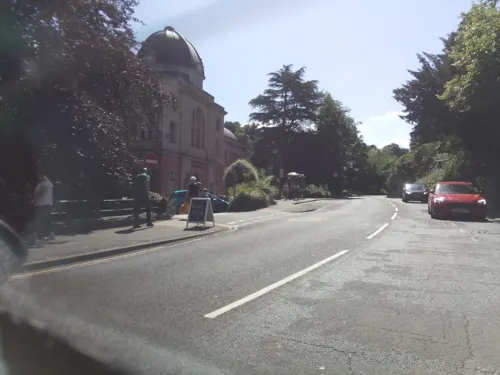
Grand Pavilion, Matlock Bath
Cinema and theater · 1.3 mi
Theatre in Matlock Bath, Derbyshire, England

Great Masson Cavern
Monument and historic site · 1.0 mi
Cave in United Kingdom

Gulliver's Kingdom Resort
Monument and historic site · 1.4 mi
Children's theme park resort in Matlock Bath, Derbyshire

Matlock Bridge
Bridge
Grade II* listed bridge in Derbyshire, England, UK



Great Rutland Cavern
Monument and historic site · 1.0 mi
Cave in Derbyshire, United Kingdom



Museums and landmarks35
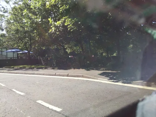

Cromford War Memorial
Monument and historic site · 2.0 mi
Grade II listed war memorial in Cromford, Derbyshire Dales, Derbyshire, England, UK
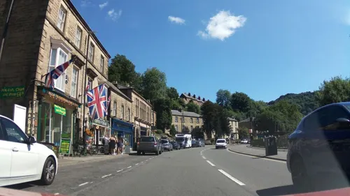
Life in a Lens Museum of Photography & Old Times
Museum · 1.2 mi
Museum in Matlock Bath, Derbyshire, England, UK (2001-2017/8)

Matlock Bath War Memorial
Monument and historic site · 1.2 mi
War memorial in Matlock Bath, Derbyshire, England, UK

Pic Tor War Memorial
Monument and historic site
Memorial in Matlock Town, Derbyshire Dales, Derbyshire, England, UK



Peak District Mining Museum
Museum · 1.4 mi
Mining museum in Matlock Bath, England, United Kingdom
South Parade, Matlock
23 more on the map.
Parks, trails and playgrounds14
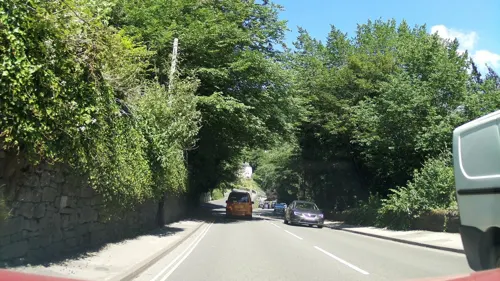
Derwent Gardens
Park · 1.4 mi
Public park in Matlock Bath, Derbyshire, England


Heights of Abraham
Park · 1.1 mi
Tourist attraction in Matlock Bath, Derbyshire, England, UK
Lovers' Walks
Park · 1.4 mi
Public park in Matlock Bath, Derbyshire, England

2 more on the map.
Restaurants and cafes95

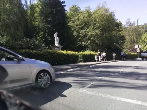
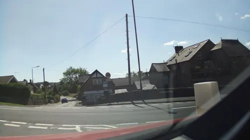
The Duke William
Bar and pub · 0.4 mi
91 Church Street, Matlock
Mo 17:00-23:00; Tu-Th 12:00-15:00,17:00-23:00; Fr-Sa 12:00-23:00;...
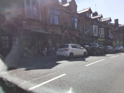
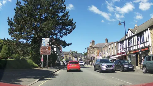
Duke of Wellington
Bar and pub · 0.7 mi
115 Wellington Street, Matlock
Mo-Sa 12:00-23:00; Su 12:00-23:30



Colombo by Ayubowan
Restaurant · Sri Lankan · 1.5 mi
Alfreton Road, Matlock
83 more on the map.
History
The name Matlock derives from the Old English mæthel (or mæðel), meaning assembly or speech, and āc, meaning oak tree; thus Matlock means 'moot-oak', an oak tree where meetings are held. In the Domesday Book of 1086 it was recorded as Meslach and in 1196 it was named Matlac. It is a former spa town that lies on the River Derwent, and has prospered from both the hydrotherapy industry and the cloth mills constructed on the river and its tributary Bentley Brook.
It was a collection of villages in Wirksworth Hundred – composed of Matlock Town, Matlock Green, Matlock Bridge, Matlock Bank – until thermal springs were discovered in 1698. The population increased rapidly in the 1800s, largely because of the popular hydros that were being built. At one stage there were around twenty hydros, mostly on Matlock Bank, the largest built in 1853 by John Smedley. This closed in 1955, and re-opened in 1956 as the headquarters of the Derbyshire County Council. Matlock is also home to the Derbyshire Dales District Council as well as Matlock Town council.
From the History section of Matlock, Derbyshire on Wikipedia, under CC BY-SA 4.0.
More about Matlock
Geography
The main physical features of the Matlock area are the hills and watercourses. The height of the town (above mean level) varies from 91m at Causeway Lane (in the valley bottom) to 203m at the top of Wellington Street. Matlock is overlooked by Riber Castle at 260m from the south-east and by Masson Hill at 339m from the south-west. The first human settlement in the area was in what is now known as Old Matlock or Matlock Green. This was where the Bentley Brook joined the River Derwent. When the town grew in the late 19th century, the town spread up the steep hillsides to the north-east of the narrow valley bottom.
The watercourses were harnessed to power corn mills, cloth mills, and other mills.
In the Derwent gorge below High Tor, the present-day A6 (Dale Road) was squeezed in beside the river.
From the south, the Midland Railway reached Matlock Station via a series of short tunnels constructed under the limestone of the gorge.
A cable tramway was constructed to tackle the very steep Bank Road (see above).
The geology of the Matlock area is extremely complex. Broadly speaking, the Derwent valley bottom forms a boundary between the sandstones and gritstones of the Dark Peak to the north-east and the limestones of the White Peak to the south-west. There are igneous intrusions into the limestones to the south-west.
Education
The annual arts festival Matlock Live began takes place in June or July each year featuring local musicians, dancers, artists, etc. As part of the summer event, Matlock Live invites buskers and other street performers to form a busking trail around Matlock raising money for the charity Aquabox. Matlock Music present a series of public concerts at Highfields School (Upper Lumsdale site). Storytelling is also well represented with a monthly venue at the Imperial Rooms.
The first school in Matlock was founded in 1647 as a free school for local boys, originally funded by local George Spateman of Tansley and from 1668 by Anthony Wolley. This school was rebuilt in 1829 and expanded in 1860 and 1889 and girls first attended in 1816. This school has since been demolished (the date is unknown).
Another school, All Saints Primary School, was founded in 1875 to provide for the population of the newly developed Matlock Bank. This school still operates and is the biggest primary school in Matlock. In 1897, a third school, the Council School, was constructed on Matlock Bank, at the junction of Smedley Street and Chesterfield Road. It also still operates as Castle View Primary School.
From the Wikipedia article Matlock, Derbyshire, under CC BY-SA 4.0.
Notable people from Matlock
 Ben OttewellEnglish singerPhoto: Noah Stride, CC BY 3.0
 Gary CreweBritish cyclistPhoto: Simon Baynes, CC BY-SA 4.0
- Keith EllisBritish musician (1946–1978)
- John WolleyEnglish ornithologist (1823-1859)
- Mick GreenEnglish guitarist (1944–2010)
- Graham BrownBritish scout and association football player (born 1944)
- Bill BradburyBritish footballer (1933-1999)
- Arthur DixonEnglish footballer, born 1867
- Lawrence FurnissEnglish footballer and manager (1858-1941)
- Charles WebsterBritish musician
- Tim GouldEnglish racing cyclist
- Joseph George CummingBritish geologist and archaeologist (1812-1868)
Born in Matlock, according to Wikidata (CC0). Each name links to its Wikipedia article.
Where to stay17
The Duke William's Caravan & Camping Site
Campground · 0.4 mi
91 Church Street, Matlock
Churches and places of worship25
Shopping26
Gas and EV charging1
Schools, colleges and libraries10
St Giles Church of England Primary and Nursery School
School · Anglican · 0.6 mi
Starkholmes Road, Matlock
Matlock Bath Holy Trinity CofE Controlled Primary School
School · Anglican · 1.5 mi
14 Clifton Road, Matlock
Healthcare5
Derbyshire Dales Primary Care Network Ltd
Clinic and pharmacy · 1.3 mi
Old Coach Road, Matlock
Map of Matlock
239 places. The map loads OpenStreetMap tiles when you open it.
Getting there and nearby towns
East Midlands Airport (EMA) is the nearest airport with scheduled flights listed in OpenStreetMap, 24 miles away.
- Chesterfield 10 mi northeast, about 15 min by car
- Ripley 10 mi southeast, about 16 min by car
- Pinxton 10 mi east, about 17 min by car
- Staveley 12 mi northeast, about 20 min by car
- Mansfield 15 mi east, about 24 min by car
- Derby 15 mi south, about 25 min by car
- Shirebrook 15 mi east, about 24 min by car
- Sheffield 17 mi north, about 28 min by car
- Nottingham 21 mi southeast, about 34 min by car
- Rotherham 22 mi north, about 35 min by car
Drive times are estimates from straight-line distance, not routes.
Towns near Matlock


Keep exploring
Local news
Headlines from INDB.
Reviews, tips and questions
Loading what members have shared...
Sources and licences
- GeoNames (CC BY 4.0): population, coordinates, regions and time zone
- Mapillary (see each image): photos
- OpenStreetMap contributors (ODbL 1.0): places, airports, map data
- Wikidata (CC0 1.0): elevation, founding date, time zone, website, landmarks and historic places
- Wikimedia Commons (see each image): photos
- Wikipedia (CC BY-SA 4.0): overview and history text
Photo credits
- Crown Hotel Matlock, Magicman0361, CC BY-SA 4.0
- Matlock - Crown Buildings, Dave Bevis, CC BY-SA 2.0
- Gulliver's Kingdom - Rides, PLTRON, CC BY-SA 4.0
- Cromford War Memorial 3690, Clem Rutter, Rochester, Kent., CC BY-SA 3.0
- War memorial - small park - North Parade - Matlock Bath (15095711948), Elliott Brown from Birmingham, United Kingdom, CC BY-SA 2.0
- Pic Tor War Memorial, Bill Boaden, CC BY-SA 2.0
- National Stone Centre 1734149 faeb4fc8, Peter Barr, CC BY-SA 2.0
- Christ Church, Lea, Derbyshire 01, Enchufla Con Clave, CC BY-SA 4.0
- St Giles Church, Rob Bendall ( Highfields ), Attribution
- Tansley - Church, Dave Bevis, CC BY-SA 2.0
- Gulliver'sLand, PLTRON, CC BY-SA 4.0
- Ribercastleexteriorrealok2, AxG at English Wikipedia, Public domain
- Matlock - County Offices frontage, Dave Bevis, CC BY-SA 2.0
- Duke William Inn, Old Matlock, Dave.Dunford, CC BY-SA 4.0
- Matlock High Tor title QS:P1476,en:"Matlock High Tor" label QS:Len,"Matlock High Tor", John Warwick Smith (1749 - 1831) – Artist (British) Born in Cumberland. Died in London. Details on Google Art Project, Public domain
- The Great Masson Cavern, TheHeightsofAbraham, CC BY-SA 4.0
- Matlock Bridge. - panoramio, Robert Powell, CC BY-SA 3.0
- Lumsdale Falls (39083763794), Bill Tyne from Oxford, England, CC BY-SA 2.0
- Street-level photo, southglos, CC BY-SA 4.0
- Street-level photo, southglos, CC BY-SA 4.0
- Street-level photo, southglos, CC BY-SA 4.0
- Street-level photo, southglos, CC BY-SA 4.0
- Street-level photo, southglos, CC BY-SA 4.0
- Street-level photo, southglos, CC BY-SA 4.0
- Street-level photo, southglos, CC BY-SA 4.0
- Street-level photo, southglos, CC BY-SA 4.0
- Street-level photo, southglos, CC BY-SA 4.0
- Street-level photo, southglos, CC BY-SA 4.0
- Street-level photo, southglos, CC BY-SA 4.0
- Street-level photo, adam2, CC BY-SA 4.0
- Street-level photo, pedrito1414, CC BY-SA 4.0
- Street-level photo, southglos, CC BY-SA 4.0
- Street-level photo, southglos, CC BY-SA 4.0
- Street-level photo, southglos, CC BY-SA 4.0
- Street-level photo, southglos, CC BY-SA 4.0
- Street-level photo, southglos, CC BY-SA 4.0
- Street-level photo, southglos, CC BY-SA 4.0
- Street-level photo, southglos, CC BY-SA 4.0


Page built November 10, 2026. Spotted a mistake? Tell us or suggest a place.