


Milngavie, United Kingdom
Milngavie is a town of 12,840 people in Scotland, United Kingdom.
Why visit Milngavie
Townapedia lists 13 museums and landmarks, 12 parks and trails, 56 places to eat, 3 places to stay and 1 attraction in and around town.
Highlights include Grey Mare's Tail, Kilpatrick Hills, The Lillie Art Gallery, Western Necropolis and Dawsholm Park.
Weather in Milngavie
Forecast from MET Norway (CC BY 4.0). Full forecast
About Milngavie
Milngavie ( mul-GHY; Scottish Gaelic: Muileann-Ghaidh) is a town in East Dunbartonshire, Scotland and a suburb of Glasgow. It is on the Allander Water, at the northwestern edge of Greater Glasgow, and about ten kilometres (six miles) from Glasgow city centre. It neighbours Bearsden.
From the Wikipedia article Milngavie (this version), under CC BY-SA 4.0.
Travel tips from other travellers: Milngavie on Wikivoyage (CC BY-SA 4.0).
Things to do1

Grey Mare's Tail, Kilpatrick Hills
Waterfall · 3.1 mi
Waterfall in West Dunbartonshire, Scotland, UK
Museums and landmarks13
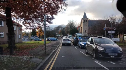

Western Necropolis
Monument and historic site · 3.1 mi
Cemetery in the north of Glasgow, Scotland, UK


1 more on the map.
Parks, trails and playgrounds12


Mugdock Country Park
Park · 1.8 mi
Park in East Dunbartonshire, Scotland, UK


Restaurants and cafes56
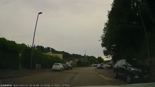
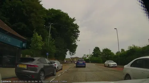
Bamboléo
Restaurant · Tapas, Steak House, Spanish · 1.4 mi
149 Milngavie Road, Glasgow
We,Th 16:00-23:45; Fr,Sa 12:00-23:45; Su 12:00-22:45
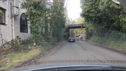
Elements
Restaurant · 1.5 mi
19 New Kirk Road
We 18:00-23:45; Th-Sa 12:00-14:00,18:00-23:45; Su 12:30-14:30,18:00-23:45



44 more on the map.
History
Milngavie's name is of Gaelic origin, and may mean either "windmill" (muileann-gaoithe) or "windy hill" (meall na gaoithe). The town grew from a country village in the parish of New Kilpatrick to a minor industrial centre in the nineteenth century, with paper mills and bleach works on the Allander River to the north-west of the town centre. Some remnants of this industry remain today on the Cloberfield Industrial Estate. The land surrounding the village comprised several estates with tenant farms, amongst them Barloch, Clober, Craigton, Craigdhu, Dougalston, Douglas Mains and South Mains.
Stone-built villas and semi-detached houses were constructed for wealthy citizens to the east of the town centre and around Tannoch Loch when commuting to Glasgow was made possible by the opening of the railway which reached the town in 1863.
After World War II a local authority housing scheme was built to the west of the town centre, housing many people relocated from Clydebank which had been badly bombed. The town grew with the addition of private speculative housing developments of bungalows and semi-detached homes at South Mains to the south of the town centre and around Clober, to the west, in the 1950s and 1960s.
Read more of the history
The town was historically served by routes 13 and 14 of the extensive Glasgow tramway system. Tramway services in Milngavie were withdrawn in 1956 and the entire system was dismantled by September 1962.
The Fairways estate was built, starting in 1977 and continued into the 1980s.
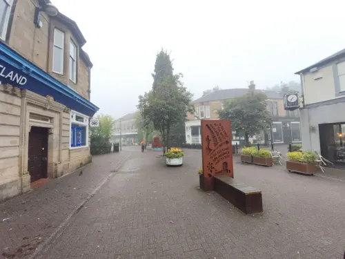
The town centre was redeveloped to improve traffic flow and pedestrian safety. The central commercial streets were pedestrianised starting in 1974 and many buildings were replaced. A superstore was opened on the fringes of the town centre in the 1990s.
In 2008, residents launched a tongue-in-cheek campaign to bring the Olympic games to Milngavie in 2020.
Today the town is primarily a dormitory town for the nearby city of Glasgow.
From the History section of Milngavie on Wikipedia, under CC BY-SA 4.0.
More about Milngavie
Education
Douglas Academy: A state-funded secondary school, which includes a Music School for gifted children who gain entry through audition and board in Glasgow's West End
The Glasgow Academy Milngavie is a fee paying Nursery and Primary School that is part of The Glasgow Academy, whose senior school and other departments are located at Colebrooke Street in the West End of Glasgow.
From the Wikipedia article Milngavie, under CC BY-SA 4.0.
Notable people from Milngavie
 Greg DochertyScottish association football playerPhoto: Timmy96, CC0
 Anna ShackleyBritish cyclistPhoto: Hoebele, CC BY-SA 4.0
 Nirosta SteelScottish musicianPhoto: BanjoZebra, CC BY 4.0
- Andy LochheadScottish footballer (born 1941)
- Colin PriorBritish photographer
- Alex ShirleyScottish professional footballer (1921-1990)
- Gordon Y. CraigScottish geologist (1925–2014)
- Keith Kelsallborn:1910-01-23|died:1996-05-01|; Kelsall, R. Keith (Roger Keith), 1910-; Kelsall, Roger Keith; Kelsall, Roger Keith, 1910-1996; Kelsall, R. Keith, 1910-...
- John BethuneScottish footballer (1888-1955)
- Richard GaskinBritish philosopher
- Tommy McKechnieScottish footballer (1940-2009)
- Romy McCahillBritish model
Born in Milngavie, according to Wikidata (CC0). Each name links to its Wikipedia article.
Where to stay3
Churches and places of worship15
Drumchapel Old Parish Church, 143-153 Garscadden Road, Glasgow
Church · 2.9 mi
Baljaffray Parish Church
Church · Church Of Scotland · 1.1 mi
Grampian Way, Glasgow
Shopping13
Gas and EV charging4
Schools, colleges and libraries13
Healthcare7
Map of Milngavie
137 places. The map loads OpenStreetMap tiles when you open it.
Getting there and nearby towns
Glasgow Airport (GLA) is the nearest airport with scheduled flights listed in OpenStreetMap, 6 miles away.
- Renfrew 5 mi southwest, about 9 min by car
- Glasgow 6 mi southeast, about 9 min by car
- Paisley 9 mi southwest, about 14 min by car
- Rutherglen 9 mi southeast, about 14 min by car
- Newton Mearns 12 mi south, about 19 min by car
- Port Glasgow 14 mi west, about 23 min by car
- Mossend 15 mi southeast, about 24 min by car
- Motherwell 17 mi southeast, about 27 min by car
- Stirling 19 mi northeast, about 31 min by car
- Wishaw 20 mi southeast, about 32 min by car
Drive times are estimates from straight-line distance, not routes.
Towns near Milngavie


Keep exploring
Local news
Headlines from INDB.
Reviews, tips and questions
Loading what members have shared...
Sources and licences
- GeoNames (CC BY 4.0): population, coordinates, regions and time zone
- Mapillary (see each image): photos
- OpenStreetMap contributors (ODbL 1.0): places, airports, map data
- Wikidata (CC0 1.0): elevation, founding date, time zone, website, landmarks and historic places
- Wikimedia Commons (see each image): photos
- Wikipedia (CC BY-SA 4.0): overview and history text
Photo credits
- View of Western Necropolis, Glasgow looking south, AlistairMcMillan, CC BY-SA 4.0
- Dawsholm-Park-Glasgow-01, Stephen Sweeney, CC BY-SA 2.0
- Mugdock Country Park Visitor Centre, David Robertson, CC BY-SA 2.0
- NewKilpatrickParishChurch, Wikiwayman at English Wikipedia, Public domain
- Street-level photo, gmc, CC BY-SA 4.0
- Street-level photo, SuborbitalPige0n, CC BY-SA 4.0
- Street-level photo, SuborbitalPige0n, CC BY-SA 4.0
- Street-level photo, gmc, CC BY-SA 4.0
- Street-level photo, gmc, CC BY-SA 4.0
- Street-level photo, remekkelek, CC BY-SA 4.0
- Street-level photo, gmc, CC BY-SA 4.0
- Street-level photo, SuborbitalPige0n, CC BY-SA 4.0
- Street-level photo, SuborbitalPige0n, CC BY-SA 4.0
- Street-level photo, hobgoblin, CC BY-SA 4.0
- Street-level photo, SuborbitalPige0n, CC BY-SA 4.0
- Street-level photo, SuborbitalPige0n, CC BY-SA 4.0
- Street-level photo, SuborbitalPige0n, CC BY-SA 4.0
- Street-level photo, hobgoblin, CC BY-SA 4.0
- Street-level photo, gmc, CC BY-SA 4.0
- Street-level photo, gmc, CC BY-SA 4.0
- Street-level photo, gmc, CC BY-SA 4.0
- Street-level photo, IpswichEdits, CC BY-SA 4.0
- Street-level photo, SuborbitalPige0n, CC BY-SA 4.0
- Street-level photo, SuborbitalPige0n, CC BY-SA 4.0
Page built November 10, 2026. Spotted a mistake? Tell us or suggest a place.