


Moreton in Marsh, United Kingdom
Moreton in Marsh is a town of 3,493 people in England, United Kingdom.
Why visit Moreton in Marsh
Townapedia lists 7 museums and landmarks, 1 park or trail, 21 places to eat and 4 places to stay in and around town.
Highlights include Moreton-in-Marsh and Batsford War Memorial and Chastleton House.
Weather in Moreton in Marsh
Forecast from MET Norway (CC BY 4.0). Full forecast
About Moreton in Marsh
Moreton-in-Marsh is a market town in the Evenlode Valley, within the Cotswolds district and Area of Outstanding Natural Beauty in Gloucestershire, England.
From the Wikipedia article Moreton-in-Marsh (this version), under CC BY-SA 4.0.
Travel tips from other travellers: Moreton in Marsh on Wikivoyage (CC BY-SA 4.0).
Photos of Moreton in Marsh


Museums and landmarks7
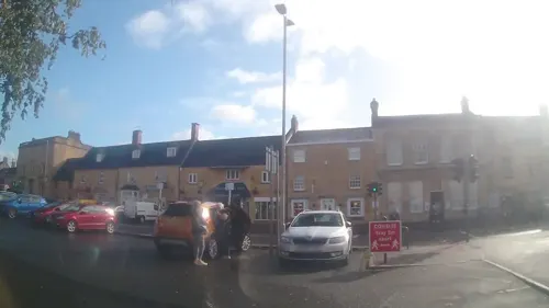
Moreton-in-Marsh and Batsford War Memorial
Monument and historic site
War memorial in Moreton-in-Marsh, Cotswold, Gloucestershire, England, UK

Chastleton House
Museum · 3.4 mi
Grade I listed historic house museum in West Oxfordshire, England, UK

Sezincote House
Museum · 2.2 mi
Grade I listed country house in Gloucestershire, England, UK
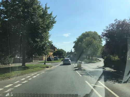
Kissing gate memorial for path to former Moreton Tramway
Monument and historic site

Parks, trails and playgrounds1
Restaurants and cafes21

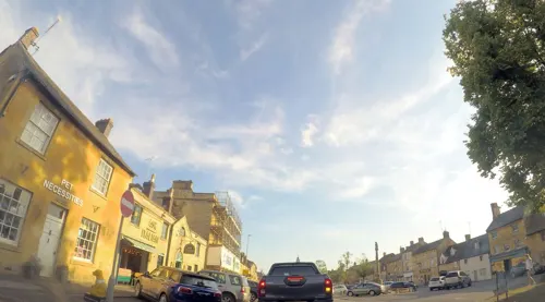
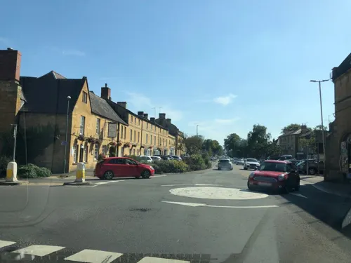

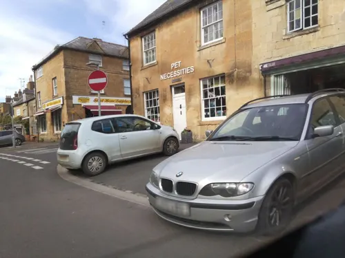
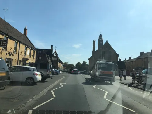


9 more on the map.
Where to stay4
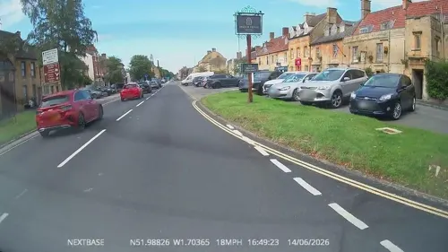
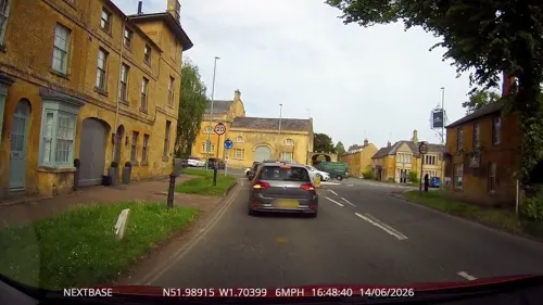
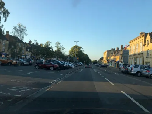

Moreton-in-Marsh Caravan & Motorhome Club
Campground
Large grassy campground with well maintained ablutions.
Bourton Road, Moreton-in-Marsh
History
A settlement was built during the British Iron Age, just north-west of the town centre near the cricket ground. Archaeological research has found Roman pottery and coins at the site, showing that it remained occupied after the Roman invasion of Britain. During this period, the Fosse Way, one of the best preserved Roman routes in Britain, was constructed. It was initially constructed by the Roman army but was subsequently maintained by the local Civitas. The course can be traced through the county by the modern roads that tend to follow its course, although there are deviations such as south of the town where it crosses the hill into Stow-on-the-Wold.
Moreton is first mentioned as a Saxon settlement around 577 AD. Following the Norman Conquest of Britain, the township was part of the monastic property held by Westminster Abbey in London. Abbott Richard of Barking began developing Moreton as a medieval market town between 1222 and 1246. The new town was built on common land bordering the Fosse Way to the north-west of the original Saxon settlement. St David's Church is in the centre of the original settlement, which is still called Old Town. To accommodate medieval markets, the new town was developed with a long and wide High Street.
Read more of the history
The town's economy thrived, thanks to wool and cloth-making in the medieval era. "It's why the high street has so many elegant 18th century inns and houses."
The Curfew Tower, on the corner of Oxford Street, probably dates from the 16th century. Its bell was cast in 1633 and its clock was built in 1648. The Royalist cavalry was based in the town during the Civil War; in 1644, King Charles I of England stopped at the White Hart Royal in 1637 and granted a charter for the market.
The Church of England parish church of Saint David began as a chapel of ease for Blockley, to which the residents of Moreton had to transport their dead for burial. The early history of the church in Moreton is not clear, but there is evidence that a primitive Celtic place of worship preceded the church on the present site, which had seven springs. The church at Moreton came under the jurisdiction of the Batsford Estate, when that estate was given to the Bishops of Worcester in the 12th century. Latterly, the church in Moreton was a chapel-at-ease for Batsford, which was technically the parish church. The appointment of the vicar for Batsford with Moreton alternates between the Bishop of Gloucester and the Lord of the Manor at Batsford, currently Lord Dulverton, who, until the Second World War, exercised his right to collect a shilling (5 pence) a year for every shop window facing Moreton High Street. There is a tradition that the church was rebuilt and reconsecrated in the middle of the 16th century. The nave was enlarged in 1790, with a £1,000 gift from Samuel Wilson Warneford, most of the church was rebuilt in 1858 and the tower was replaced in 1860. The chancel and south aisle were enlarged in 1892 and the east end of the south aisle has been used as a chapel since 1927.
A nonconformist congregation started meeting in Moreton in 1796 and was constituted as a Congregational church in 1801; it had a chapel built in 1817. In 1860–61, the Congregationalists replaced the chapel with a new one on the same site in a mixed neo-Grecian and Romanesque style. The congregation voted against the merger with the Presbyterians and remains a Congregational Chapel. The Roman Catholics, without their own church in Moreton, held a mass there on Sunday mornings for several years.
According to one report, the town was in a suitable location for the "old coaching route from London to Worcester [and] thrived as a stopping place for stagecoaches, in particular The Redesdale Arms and The White Hart Royal."
The Stratford and Moreton Tramway was built between 1821 and 1826, linking Moreton with the Stratford-on-Avon Canal at Stratford. It was horse-drawn until 1859, when the section between Moreton and Shipston-on-Stour was converted to a branch line railway operated with steam locomotives. The Oxford, Worcester and Wolverhampton Railway, built between 1845 and 1851, passes through Moreton. The railway station was opened in 1853. The Great Western Railway (GWR) took over the OW&W Railway in 1862 and the Shipston-on-Stour branch in 1868. The GWR withdrew passenger trains from the branch in 1929 and British Railways withdrew freight traffic and the last train, Driver Ted Hardiman, Fireman Ken Hughes and Guard Perry, and one paying passenger, Christopher Horne, ran on 2 May 1960.
The OW&W Railway is now part of the Cotswold line. The line between Oxford (Wolverton Junction) and Worcester (Norton Junction) was singled in the 1970s, except for the distance between Shipton-under-Wychwood to Moreton-in-Marsh, but subsequently the double track has been replaced, except between Evesham and Worcester (Norton Junction) in 2011. Traffic to and from Long Marston uses the west end of the line and freight services are planned to re-use this route. In 2019, the platforms were lengthened after the removal of all sidings from the station area.
Redesdale Hall, which was designed by the architects Sir Ernest George and Harold Peto, became the market hall and town hall for the town and was completed in 1887. The town was often misdescribed as Moreton-in-the-Marsh into the early 20th century. The name was confirmed as Moreton-in-Marsh before 1930.
In 1940, a large area of level land east of the town was developed as RAF Moreton-in-Marsh and used as a training airfield, largely by Wellington bombers. 38 men flying to or from RAF Moreton-in-Marsh died during the Second World War. The former airfield is now the Fire Service College, where senior fire officers from brigades all over the UK undergo operational, management and leadership training. The same complex is also now the headquarters of the Institution of Fire Engineers, the professional body for fire fighters, officers and civilians with an interest in fire engineering.
From the History section of Moreton-in-Marsh on Wikipedia, under CC BY-SA 4.0.
Notable people from Moreton in Marsh
 Sam DarlingBritish jockey and racehorse trainer (born 1852)Photo: Unknown author Unknown author, Public domain
- John Sankey, 1st Viscount SankeyBritish Labour politician and Lord Chancellor (1866-1948)
- Gabrielle Glaisteractress
- David GrahamEnglish cricketer (born 1971)
- Susan TreggiariEnglish scholar of ancient Rome, emeritus professor of Stanford University and retired member of the Faculty of Classics at the University of Oxford
- Herbert Timmscricketer (1890-1973)
- Nick AnsteeBritish politician (born 1958)
- George H. SimmonsAmerican physician, editor and administrator (1852–1937)
- John Moore CaldicottBritish-Rhodesian politician (1900-1986)
Born in Moreton in Marsh, according to Wikidata (CC0). Each name links to its Wikipedia article.
Churches and places of worship7
Shopping11
Gas and EV charging1
Schools, colleges and libraries4
Healthcare2
Map of Moreton in Marsh
58 places. The map loads OpenStreetMap tiles when you open it.
Getting there and nearby towns
RAF Brize Norton (BZZ) is the nearest airport with scheduled flights listed in OpenStreetMap, 17 miles away.
- Blockley 3 mi northwest, about 5 min by car
- Stow on the Wold 4 mi south, about 7 min by car
- Chipping Campden 5 mi northwest, about 8 min by car
- Lower Brailes 8 mi northeast, about 13 min by car
- Honeybourne 9 mi northwest, about 15 min by car
- Hook Norton 9 mi east, about 15 min by car
- Shipton under Wychwood 10 mi southeast, about 16 min by car
- Ettington 11 mi north, about 18 min by car
- Evesham 13 mi northwest, about 20 min by car
- Stratford-upon-Avon 14 mi north, about 22 min by car
Drive times are estimates from straight-line distance, not routes.
Towns near Moreton in Marsh


Keep exploring
Local news
Headlines from INDB.
Reviews, tips and questions
Loading what members have shared...
Sources and licences
- GeoNames (CC BY 4.0): population, coordinates, regions and time zone
- Mapillary (see each image): photos
- OpenStreetMap contributors (ODbL 1.0): places, airports, map data
- Wikidata (CC0 1.0): elevation, founding date, time zone, website, landmarks and historic places
- Wikimedia Commons (see each image): photos
- Wikipedia (CC BY-SA 4.0): overview and history text
Photo credits
- Moreton-in-marsh high st 19y07, Snowmanradio, CC BY-SA 3.0
- Moreton in Marsh - panoramio (10), Tanya Dedyukhina, CC BY 3.0
- Chastleton House - front, DeFacto, CC BY-SA 4.0
- Sezincote House, Andy Stephenson, CC BY-SA 2.0
- St Peter and St Paul, Blockley, DeFacto, CC BY-SA 4.0
- Chastleton church, Celuici, CC BY-SA 4.0
- St Mary's Church, Batsford, Peter I. Vardy, CC BY-SA 3.0
- St. David's Church, Moreton-in-Marsh 01, Simon Burchell, CC BY-SA 4.0
- Moreton-in-Marsh (33235177764), Alex Liivet from Chester, United Kingdom, CC0
- Redesdale Hall, Moreton-in-Marsh, Simon Burchell, CC BY-SA 4.0
- The Redesdale Arms, Moreton-in-Marsh, Simon Burchell, CC BY-SA 4.0
- Moreton-in-Marsh Station (7783023822), Hugh Llewelyn, CC BY-SA 2.0
- Moreton-in-Marsh Station (7808304064), Hugh Llewelyn, CC BY-SA 2.0
- Hugh llewelyn 166 201 (7808305576), Hugh Llewelyn, CC BY-SA 2.0
- Hugh llewelyn 180 108 (7783064260), Hugh Llewelyn, CC BY-SA 2.0
- Hugh llewelyn 180 108 (7783056302), Hugh Llewelyn, CC BY-SA 2.0
- Hugh llewelyn 43 134 (7808302622), Hugh Llewelyn, CC BY-SA 2.0
- Hugh llewelyn 166 201 (7808314668), Hugh Llewelyn, CC BY-SA 2.0
- Hugh llewelyn 180 105 (7783034114), Hugh Llewelyn, CC BY-SA 2.0
- Moreton-in-Marsh Signal Box (7783041204), Hugh Llewelyn, CC BY-SA 2.0
- Moreton-in-Marsh Signal Box (7783048714), Hugh Llewelyn, CC BY-SA 2.0
- Hugh llewelyn 180 108 (7783027536), Hugh Llewelyn, CC BY-SA 2.0
- Moreton-in-Marsh Station (7808312362), Hugh Llewelyn, CC BY-SA 2.0
- Bell Inn Moreton in marsh, Tony Hisgett from Birmingham, UK, CC BY 2.0
- The Swan Inn, Moreton-in-Marsh 01, Simon Burchell, CC BY-SA 4.0
- Street-level photo, OrangeHurst97, CC BY-SA 4.0
- Street-level photo, trigpoint, CC BY-SA 4.0
- Street-level photo, southglos, CC BY-SA 4.0
- Street-level photo, OrangeHurst97, CC BY-SA 4.0
- Street-level photo, OrangeHurst97, CC BY-SA 4.0
- Street-level photo, laye, CC BY-SA 4.0
- Street-level photo, laye, CC BY-SA 4.0
- Street-level photo, 4004, CC BY-SA 4.0
- Street-level photo, southglos, CC BY-SA 4.0
- Street-level photo, southglos, CC BY-SA 4.0
- Street-level photo, trigpoint, CC BY-SA 4.0
- Street-level photo, laye, CC BY-SA 4.0
- Street-level photo, laye, CC BY-SA 4.0
- Street-level photo, laye, CC BY-SA 4.0
- Street-level photo, southglos, CC BY-SA 4.0
- Street-level photo, southglos, CC BY-SA 4.0
- Street-level photo, laye, CC BY-SA 4.0
- Street-level photo, laye, CC BY-SA 4.0
- Street-level photo, southglos, CC BY-SA 4.0


Page built November 10, 2026. Spotted a mistake? Tell us or suggest a place.