


Why visit Ninfield
Townapedia lists 5 museums and landmarks, 5 parks and trails, 7 places to eat, 5 places to stay and 2 attractions in and around town.
Highlights include Chestnut Meadow Farm Shop, Battle Abbey, Bexhill Museum and Gillham Wood.
Weather in Ninfield
Forecast from MET Norway (CC BY 4.0). Full forecast
About Ninfield
Ninfield is a village and civil parish in the Wealden District of East Sussex, England. The village is quite linear and centred 4 miles (6.4 km) north of Bexhill-on-Sea where two roads cross: the A269 from Bexhill to Battle and the A271 to Hailsham. The parish covers 2,500 acres (1,010 ha); approximately the northern half of which is in the High Weald AONB.
From the Wikipedia article Ninfield (this version), under CC BY-SA 4.0.
Photos of Ninfield

Things to do2

Chestnut Meadow Farm Shop
Farm and orchard · 1.7 mi
Ninfield Road, Bexhill-on-Sea
Tu-Sa 09:00-17:00

Museums and landmarks5

Battle Abbey
Monument and historic site · 3.3 mi
Benedictine abbey in Battle, East Sussex, England, UK

Bexhill Museum
Museum · 3.8 mi
Local history museum in Bexhill-on-Sea, East Sussex, England, United Kingdom

Remains of Northeye village
Monument and historic site · 3.7 mi
Deserted medieval village of Northeye, 885m south-west of Old Road Farm, now historic archaeological site

Sydney Albert Wise
Monument and historic site · 2.1 mi
A memorial plaque in his honor can be found at the corners of St Leonards Road and Wilton Road.

Parks, trails and playgrounds5


Highwoods
Park · 1.6 mi
Site of Special Scientific Interest in East Sussex, England, UK


Ashburnham Park
Park · 1.6 mi
Park in Catsfield, Rother, East Sussex, England
Restaurants and cafes7
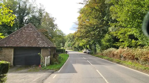
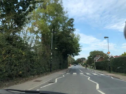
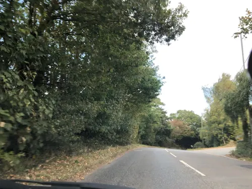

Chestnut Meadow Cafe
Cafe · 1.7 mi
Ninfield Road, Bexhill-on-Sea
Tu-Sa 09:00-17:00

Where to stay5
Churches and places of worship5
Gas and EV charging1
Schools, colleges and libraries3
Map of Ninfield
33 places. The map loads OpenStreetMap tiles when you open it.
Getting there and nearby towns
Lydd Airport (LYX) is the nearest airport with scheduled flights listed in OpenStreetMap, 23 miles away.
- Bexhill-on-Sea 3 mi southeast, about 5 min by car
- Saint Leonards-on-Sea 6 mi east, about 9 min by car
- Hastings 7 mi east, about 11 min by car
- Hailsham 7 mi west, about 12 min by car
- Heathfield 9 mi northwest, about 15 min by car
- Eastbourne 10 mi southwest, about 16 min by car
- Northiam 11 mi northeast, about 17 min by car
- Ticehurst 11 mi north, about 18 min by car
- Uckfield 15 mi west, about 25 min by car
- Seaford 16 mi southwest, about 26 min by car
Drive times are estimates from straight-line distance, not routes.
Towns near Ninfield


Keep exploring
Local news
Headlines from INDB.
Reviews, tips and questions
Loading what members have shared...
Sources and licences
- GeoNames (CC BY 4.0): population, coordinates, regions and time zone
- Mapillary (see each image): photos
- OpenStreetMap contributors (ODbL 1.0): places, airports, map data
- Wikidata (CC0 1.0): elevation, founding date, time zone, website, landmarks and historic places
- Wikimedia Commons (see each image): photos
- Wikipedia (CC BY-SA 4.0): overview and history text
Photo credits
- Ninfield II v Little Chelsea (14225209533), grassrootsgroundswell, CC BY 2.0
- Ninfield II v Little Chelsea (14205095735), grassrootsgroundswell, CC BY 2.0
- Ninfield II v Little Chelsea (14181932326), grassrootsgroundswell, CC BY 2.0
- Ninfield II v Little Chelsea (14018439300), grassrootsgroundswell, CC BY 2.0
- Ninfield II v Little Chelsea (14201786551), grassrootsgroundswell, CC BY 2.0
- Ninfield II v Little Chelsea (14225228273), grassrootsgroundswell, CC BY 2.0
- Ninfield II v Little Chelsea (14205069235), grassrootsgroundswell, CC BY 2.0
- Battleabbey-wyrdlight-0170, Antony McCallum, CC BY-SA 3.0
- Bexhill Museum, Egerton Road, Bexhill, Alexis Markwick, CC0
- Northeye, Pevensey Levels (aerial), Alexis Markwick, CC BY-SA 4.0
- St Mary Magdalene's RC Church, Bexhill (NHLE Code 1352844), The Voice of Hassocks, CC0
- Ashburnham, St Peter's Church, Michael Coppins, CC BY-SA 4.0
- St Laurence's Church Catsfield East Sussex by Nick MacNeill, nick macneill, CC BY-SA 2.0
- Sydney Albert Wise Memorial, Bexhill-on-Sea, Alexis Markwick, CC0
- Entrance to Highwoods, Bexhill, Alexis Markwick, CC0
- Kloofs Caravan Park, Sandhurst Lane, Bexhill, Alexis Markwick, CC0
- Gillham Wood, Bexhill, Alexis Markwick, CC0
- Fungi Information Board, Highwoods, Bexhill-on-Sea, Alexis Markwick, CC0
- Benchmark, Cobbs Hill Farm, Bexhill, Alexis Markwick, CC0
- Street-level photo, andreste96, CC BY-SA 4.0
- Street-level photo, jjhaslanded, CC BY-SA 4.0
- Street-level photo, jjhaslanded, CC BY-SA 4.0
- Street-level photo, jjhaslanded, CC BY-SA 4.0


Page built November 10, 2026. Spotted a mistake? Tell us or suggest a place.