


Why visit Seaford
Townapedia lists 36 museums and landmarks, 20 parks and trails, 63 places to eat, 6 places to stay and 10 attractions in and around town.
Highlights include Newhaven East Pier Light, Dymock Farm Shop, Newhaven Fort and Cuckmere Haven War Memorial.
Weather in Seaford
Forecast from MET Norway (CC BY 4.0). Full forecast
About Seaford
Seaford is a town in East Sussex, England, east of Newhaven and west of Eastbourne.
From the Wikipedia article Seaford, East Sussex (this version), under CC BY-SA 4.0.
Travel tips from other travellers: Seaford on Wikivoyage (CC BY-SA 4.0).
Photos of Seaford

Things to do10






Museums and landmarks36


Alfriston Clergy House
Museum · 3.4 mi
Historic house in East Sussex, England, UK
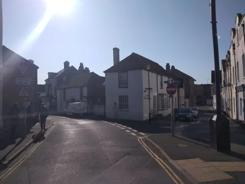
Medieval crypt, Church Street
Monument and historic site
Archaeological site in Seaford, Lewes, England, UK
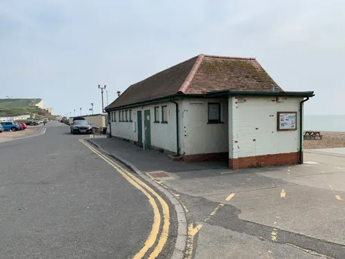
Seaford Museum
Museum
Museum in a Martello Tower in Seaford, East Sussex, United Kingdom

Chailey Heritage Marine Hospital
Monument and historic site · 1.6 mi
Chailey Heritage Marine Hospital (nurses' quarters)
Monument and historic site · 1.6 mi
24 more on the map.
Parks, trails and playgrounds20

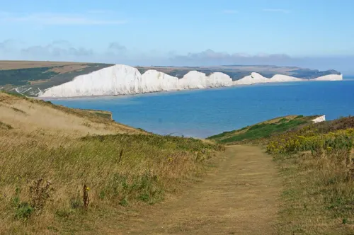



Newhaven and Seaford Sailing Club
Marina and boat launch · 1.1 mi
Marine Parade, Seaford


8 more on the map.
Restaurants and cafes63
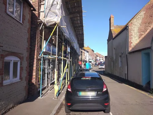
The Steamworks
Cafe
Seaford Bakehouse & Bar
Station Approach, Seaford
Mo-Th 06:30-23:00; Fr 06:30-24:00; Sa 09:30-24:00; Su 12:00-22:00
Trawlers
Restaurant · Fish And Chips
32-34 Church Street, Seaford
Mo-Th 11:30-14:00, 16:45-21:00; Fr 11:30-14:00, 16:45-22:00; Sa 11:30-22:00


Cuckmere Inn
Bar and pub · 1.9 mi
Exceat Bridge, Eastbourne Road, Seaford
Mo-Sa 11:30-21:30; Su 11:30-20:30

Rathfinny Wine Estate
Restaurant · British · 2.2 mi
We,Th,Su 11:00-18:00; Fr,Sa 11:00-22:30; Mo,Tu off
Frankie's Beach Cafe
Cafe · Coffee Shop, Ice Cream
Esplanade, Seaford
Mo-Su 10:00-18:00
51 more on the map.
History
In 1620 and 1624, the bailiff of Seaford was William Levett, of an Anglo-Norman family long seated in Sussex. William Levett of Seaford owned the Bunces and Stonehouse manors in Warbleton, probably inheriting them from his father John Levett, who died in 1607. Levett sold the estates in 1628 and died in 1635, his will being filed in Hastings.
The Old Town Hall in South Street was the meeting place of the borough council, which had the power to elect two members of parliament, until the implementation of the Reform Act 1832.
The Levett family intermarried with other Sussex families, including the Gildredges, the Eversfields, the Popes, the Ashburnhams, the Adamses, and the Chaloners. A seal with his arms belonging to John de Livet, Lord of Firle, was found at Eastbourne in 1851.
From the History section of Seaford, East Sussex on Wikipedia, under CC BY-SA 4.0.
More about Seaford
Geography
The town lies on the coast near Seaford Head, roughly equidistant between the mouths of the River Ouse and the Cuckmere. The Ouse valley was a wide tidal estuary with its mouth nearly closed by a shingle bar, but the tidal mudflats and salt marshes have been "inned" (protected from the tidal river by dykes) to form grassy freshwater marshes (grazing marsh). To the north the town faces the chalk downland of the South Downs, and along the coast to the east are the Seven Sisters chalk cliffs, and Beachy Head. This stretch of coast is notified for its geological and ecological features as Seaford to Beachy Head Site of Special Scientific Interest.
The River Ouse used to run parallel to the shore behind the shingle bar, entering the sea close to Seaford. However, a major storm in the 16th century broke through the bar at its western end, creating a new river mouth close to the village called Meeching, which was later renamed to Newhaven. Part of the former channel of the river remains as a brackish lagoon.
Education
Between the late 19th century and the 1950s, Seaford was renowned as a "school town". The many preparatory schools and other independent schools were the main employers in the town. In the 1960s, Sutton Avenue had a road sign warning "7 schools in next mile". Sunday mornings in term-time were marked by "crocodiles" of schoolchildren from each of the preparatory schools walking to church for the special schools' service.
Most of these independent schools, such as Ladycross School and St Peter's School were closed and the land used for new housing estates in the last decades of the 20th century. The last girls' school, Micklefield, closed in 1994.
Although it has many primary schools (Chyngton, Cradle Hill, Annecy, Seaford County Primary), from the nursery to the "sixth year" of education, the town of Seaford has only one state-run secondary school, Seaford Head School, which in 2009 closed its sixth form, but re-opened it in 2014. Seaford was also home to an independent school, Newlands Preparatory and Manor, which included a specialist unit for pupils with specific learning difficulties. However, the school closed for good in July 2014. Its previous site is currently being redeveloped into a housing estate.
The town is also home to a special needs boarding school called Bowden House which is run by Tower Hamlets Council.
From the Wikipedia article Seaford, East Sussex, under CC BY-SA 4.0.
Notable people from Seaford
- Pamela RookeEnglish model and actress (1955–2022)
- William Wordsworth FisherRoyal Navy admiral (1875-1937)
- Roger ConnellEnglish professional footballer (born 1946)
- Ronald WillsonEnglish cricketer (1933-2017)
- Oscar LloydBritish actor
- Edwin Woodhamscricketer (1880-1933)
- Lionel TroughtonEnglish cricketer (1879-1933)
- Colin PurbrookBritish pianist
- Kenneth H. HuntAustralian physicist
- Brian Powneyassociation football player (born 1944)
- Cuthbert BromleyEnglish military officer (1878–1915); recipient of the Victoria Cross
Born in Seaford, according to Wikidata (CC0). Each name links to its Wikipedia article.
Where to stay6
Churches and places of worship13
Shopping9
Gas and EV charging2
Schools, colleges and libraries11
Healthcare5
Map of Seaford
175 places. The map loads OpenStreetMap tiles when you open it.
Getting there and nearby towns
Brighton City Airport (ESH) is the nearest airport with scheduled flights listed in OpenStreetMap, 18 miles away.
- Eastbourne 8 mi east, about 13 min by car
- Brighton 11 mi west, about 18 min by car
- Uckfield 14 mi north, about 22 min by car
- Shoreham-by-Sea 17 mi west, about 27 min by car
- Worthing 21 mi west, about 34 min by car
- Crawley 27 mi northwest, about 43 min by car
- Sevenoaks 35 mi north, about 56 min by car
- Maidstone 39 mi northeast, about 1 h by car
- Sutton 42 mi north, about 1 h 15 min by car
- London 52 mi north, about 1 h 30 min by car
Drive times are estimates from straight-line distance, not routes.
Towns near Seaford


Keep exploring
Local news
Headlines from INDB.
Reviews, tips and questions
Loading what members have shared...
Sources and licences
- GeoNames (CC BY 4.0): population, coordinates, regions and time zone
- Mapillary (see each image): photos
- OpenStreetMap contributors (ODbL 1.0): places, airports, map data
- Wikidata (CC0 1.0): elevation, founding date, time zone, website, landmarks and historic places
- Wikimedia Commons (see each image): photos
- Wikipedia (CC BY-SA 4.0): overview and history text
Photo credits
- Bob's Retro Market, Seaford (15754349091), grassrootsgroundswell, CC BY 2.0
- Millies of Seaford (15571395950), grassrootsgroundswell, CC BY 2.0
- C. Walbrin and Sons, Butchers, Seaford (15732504756), grassrootsgroundswell, CC BY 2.0
- The Old Boot Inn, Seaford 02, Simon Burchell, CC BY-SA 4.0
- Bishopstone Nurseries, Seaford (15738717455), grassrootsgroundswell, CC BY 2.0
- The Old Boot Inn, Seaford 01, Simon Burchell, CC BY-SA 4.0
- Old Clergy House, Alfriston (NHLE Code 1191431) (September 2011), The Voice of Hassocks, CC BY-SA 3.0
- St Thomas More Church, Seaford, The Voice of Hassocks, Public domain
- Church of St. Andrew, Alfriston, England Crop - May 2009, Diliff derivative work: Crop by Diliff, CC BY-SA 3.0
- Newhaven Fort, Michael Coppins, CC BY-SA 4.0
- Seaford Golf Club-by-Kevin-Gordon, Kevin Gordon, CC BY-SA 2.0
- Bishopstone sundial and porch, Roger Griffith, Public domain
- St Leonard's Church, Seaford (IoE Code 292573), The Voice of Hassocks, Public domain
- St Peter's Church, East Blatchington (NHLE Code 1044020), The Voice of Hassocks, CC0
- War Memorial at Seaford Head (June 2021) (1), Hassocks5489, CC0
- Woo in the studio, Ears Reader, CC BY-SA 4.0
- Splash Point, Seaford - Flickr - Jon Lavis, Jon Lavis from Seaford, CC BY 2.0
- Above Battery Observation Post at Newhaven Fort 2025-03-02, Andy Li, CC0
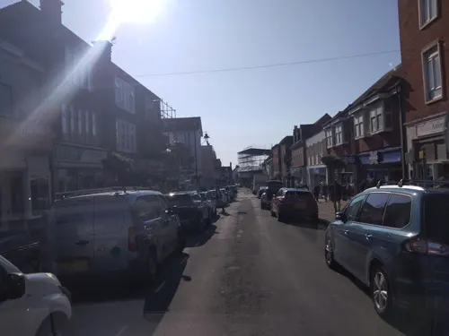
- Street-level photo, andreste96, CC BY-SA 4.0
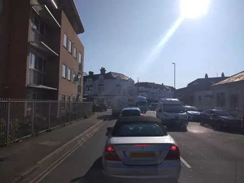
- Street-level photo, andreste96, CC BY-SA 4.0
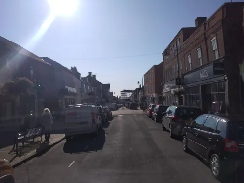
- Street-level photo, andreste96, CC BY-SA 4.0
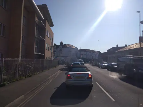
- Street-level photo, andreste96, CC BY-SA 4.0
- Street-level photo, andreste96, CC BY-SA 4.0
- Street-level photo, andreste96, CC BY-SA 4.0
- Street-level photo, EstSsxKt, CC BY-SA 4.0
- Street-level photo, andreste96, CC BY-SA 4.0
- Street-level photo, coljay72, CC BY-SA 4.0
- Street-level photo, andreste96, CC BY-SA 4.0
- Street-level photo, andreste96, CC BY-SA 4.0
- Street-level photo, osde8info, CC BY-SA 4.0
- Street-level photo, andreste96, CC BY-SA 4.0
- Street-level photo, andreste96, CC BY-SA 4.0
- Street-level photo, andreste96, CC BY-SA 4.0
- Street-level photo, andreste96, CC BY-SA 4.0


Page built November 10, 2026. Spotted a mistake? Tell us or suggest a place.