


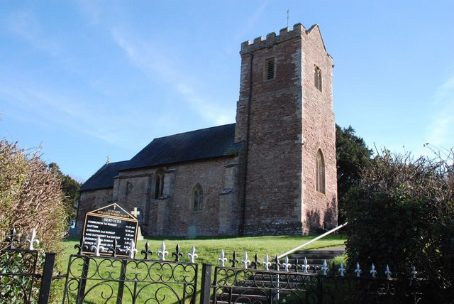
North Petherton, United Kingdom
North Petherton is a town of 3,142 people in England, United Kingdom.
Why visit North Petherton
Townapedia lists 4 museums and landmarks, 1 park or trail, 19 places to eat, 5 places to stay and 1 attraction in and around town.
Highlights include Telescopic Bridge, Bridgwater, Blake Museum, Somerset Brick and Tile Museum and Petherton Park.
Weather in North Petherton
Forecast from MET Norway (CC BY 4.0). Full forecast
About North Petherton
North Petherton is a town and civil parish in Somerset, England, lying on the edge of the eastern foothills of the Quantocks, about 2.5 miles (4 km) south of Bridgwater; in the east, the parish extends into the Somerset Levels. The parish includes the villages of North Newton and Huntworth, and the hamlets of Northmoor Green (also called Moorland), Shearston and Woolmersdon. The parish population at the 2021 census was 10,050, an increase from the 6,730 recorded in 2011.
From the Wikipedia article North Petherton (this version), under CC BY-SA 4.0.
Things to do1

Telescopic Bridge, Bridgwater
Bridge · 2.8 mi
Bridge in Sedgemoor, Somerset, Somerset, England, UK
Museums and landmarks4

Blake Museum
Museum · 2.5 mi
Museum in Bridgwater, Somerset, England, United Kingdom

Somerset Brick and Tile Museum
Museum · 2.7 mi
Museum in Bridgwater, Somerset, England, UK

Bridgwater War Memorial
Monument and historic site · 2.6 mi
War memorial in Bridgwater, Somerset, England, UK

Westonzoyland Pumping Station Museum
Museum · 3.1 mi
Industrial heritage museum in Somerset, England, UK
Parks, trails and playgrounds1

Restaurants and cafes19
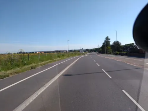
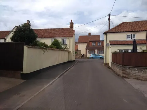
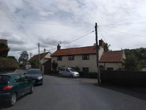
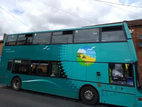



7 more on the map.
History
Long before the Norman Conquest, during Saxon times North Petherton was at the centre of a large royal estate, located on one of the historic communication routes through Somerset, and was both an important centre and the meeting place for the Hundred of North Petherton although the Petherton limit tithing of North Petherton was in the Hundred of Andersfield from the 1670s.
At the time of the Norman invasion the Hundred covered a large area corresponding, today, roughly to a north–south corridor along the M5 motorway from Junction 25 near Taunton, to north of Junction 23 at Stretcholt, and east–west from Athelney to Goathurst. The Parish of North Petherton continues to be one of the largest in Somerset to this day.
King Henry II expanded the royal estate into the royal forest (hunting ground) of Petherton Park, which continued to exist until the 17th century. Geoffrey Chaucer (~1343–1400), author of The Canterbury Tales, was appointed Deputy Forester of the royal forest of North Petherton towards the end of his life. The royal forest was probably similar in area to the Saxon Hundred of North Petherton. According to the late 13th century Hundred Rolls, King Henry II of England (died 1189) gave William of Wrotham lands at North Petherton. Between 1513 and 1535 Sir William Courtenay (d.1535) of Powderham, Devon was the keeper of North Petherton Park.
Read more of the history
The town itself it thought to have developed around the minster which, it is supposed, was on the same site as the current church. There is archaeological evidence indicating that there were timber buildings to the west of the church in the late Saxon period, and it is suspected that the remains of the Saxon settlement may continue to lie beneath the town centre. Excavations to the west of the church, on what is now the Community Centre site, revealed a 14th-century cemetery, which may have been used for victims of the plague, as well as indicating that the area was redeveloped in the late Middle Ages. It is thought that there may have been a mint in the town during the 10th or 11th century, and a charter to hold a market was granted in 1318, although it is thought that the market predated this. A shire hall, courthouse and guildhall are known to have exited and were probably located north of the church.
A minor skirmish of the English Civil War took place in August 1644 outside what was then the cornhill, now the area of Fore Street between the Community Centre and the former George Inn.
The Alfred Jewel, an object about 2.5-inch (64 mm) long, made of filigree gold, cloisonné-enamelled and with a rock crystal covering, was found in 1693 at Petherton Park, North Petherton.
Believed to have been commissioned by Alfred the Great, it is thought to have been the handle for a pointer that would have fitted into the hole at its base, and been used while reading a book out loud. It is inscribed, "AELFRED MEC HEHT GEWYRCAN," ("Alfred had me made"). It may be one of the "aestels" Alfred had sent to each bishopric with a copy of his translation of Pope Gregory the Great's book Pastoral Care. A replica of the jewel can be found in the church of St Mary.
When the Bridgwater and Taunton Canal was opened in 1827 it joined the River Parrett by a lock at Huntworth, where a basin was constructed, but in 1841 the canal was extended to a floating harbour in Bridgwater, and the Huntworth link was filled in. The canal and river were not re-connected at this point when the canal was restored, because the Parrett is by then a salt water river laden with silt, whereas the canal contains fresh water. Not only is there a risk of silt entering the canal, but the salt water cannot be allowed to contaminate the fresh, as the canal is still used for the transport of drinking water for Bridgwater's population. The Crossways Swing Bridge over the canal in the parish was built in 1827 by John Rennie. It is a wooden bridge which rotated on steel ball-bearings in a circular track, a very early example of the use of ball bearings in this way. It was designated as a Grade II listed building but the mechanism was removed in 1987. The Higher and Lower Maunsel locks on the canal are either side of the Maunsel bridge which carries the A361. The stone Coxhill road bridge dates from the same time.
Woolmersdon House in Woolmersdon is a Grade II listed late Georgian residence.
In 1906, North Petherton became the first town in Britain (and perhaps the only one) to have street lights lit by piped acetylene gas, supplied by the North Petherton Gas and Carbide Company, operating from a plant in Mill Lane. The plant was demolished towards the end of the 20th century to form a car park for the local doctor's surgery. Acetylene was replaced in 1931 by coal gas produced in Bridgwater, as well as by the provision of an electricity supply, and the Gas and Carbide Company was wound up. The North Petherton Rosco Acetylene Company (dating from at least 1898) may have supplied gas to the adjacent church prior to the Gas and Carbide Company.
In 1926 the Bridgwater Beam Wireless Station was opened north east of the town. It was the receiving station for Marconi's UK-to-Canada Beam Wireless Service (part of the Imperial Wireless Chain), the first transoceanic shortwave wireless telegraph service in the world, and operated until 2002.
In 1984 North Petherton was provided with a small public library. As a result of a revitalised fund-raising campaign (originally begun decades earlier), this was followed a few years later by the construction of a Community Centre, opened in 1987, which was extended in 1991.
From the History section of North Petherton on Wikipedia, under CC BY-SA 4.0.
More about North Petherton
Geography
North Petherton is situated on one of the historic communication routes through Somerset, and a turnpike through the town was opened between Bridgwater and Taunton in the 1730s. The opening of the nearby M5 motorway in the 1970s which relieved major traffic jams on the A38 through the town, also added to the attraction of the town for commuters and has consequently led to the construction of several new housing estates. The town lies on the route of the Macmillan Way West long-distance footpath.
South east of the town near Lyng, on the opposite side of the M5 motorway but within the parish is North Moor, a 676.3 hectare biological Site of Special Scientific Interest. North Moor is a nationally important grazing marsh and ditch system on the Somerset Levels and Moors. A range of neutral grassland types supporting common and scarce plants has developed mainly due to variations in soils and management practices. Aquatic plant communities are exceptionally diverse with good populations of nationally scarce species. The site has special interest in its bird life.
Economy
North Petherton used to be a market town, with the right to hold a market having been granted in 1318, along with the right to an annual fair.
In the past the town hosted a Starkey Knight and Ford brewery on Fore Street (demolished in the late 1960s), several maltings, a light engineering works (Trig Engineering, since moved to the Huntworth Business Park adjacent to the nearby Junction 24 of the M5 motorway), and in earlier times at least 7 watermills.
Basket making and the manufacture of associated products including wicker furniture, was also a significant industry, at one time employing over 100 people in small factories and homes, until its decline in the second half of the 20th century. The products were distributed nationally via the railway station at Bridgwater. Nearby King's Cliff formerly provided a source of building stone for the town dating from at least Medieval times. The production of cloth and leather goods also used to take place in the town, the former being commemorated in the name of the road known as Dyer's Green.
The extensive cider orchards that used to surround much of the town in the 19th century had largely disappeared by the end of the 20th, by which time local employment was largely restricted to service businesses and farming. Folly Foot fishery is based on a lake which is stocked with Koi, Mirror, Common and Ghost Carp.
Arts and culture
The annual North Petherton Carnival is part of the West Country Carnival circuit, and takes place in November, on the second Saturday. The date of the first Carnival at Bridgwater is the previous Saturday, featuring most of the same participants.
Education
North Petherton has two schools, North Petherton juniors and North Petherton infants, which have joined together to form one school, North Petherton Primary School.
Secondary schools in nearby Bridgwater include Robert Blake School, Brymore Academy, Chilton Trinity School, Bridgwater College Academy, and Haygrove School. Special schools in the town include Elmwood Special School, New Horizon Centre School and Penrose School.
Further education is provided by Bridgwater and Taunton College.
From the Wikipedia article North Petherton, under CC BY-SA 4.0.
Notable people from North Petherton
- Cecil Banes-WalkerEnglish cricketer, rugby union footballer and hockey player (1888-1915)
- Mary BryanEnglish poet (1780-1838)
Born in North Petherton, according to Wikidata (CC0). Each name links to its Wikipedia article.
Where to stay5
Churches and places of worship12
Shopping1
Gas and EV charging2
Schools, colleges and libraries5
Healthcare2
Map of North Petherton
52 places. The map loads OpenStreetMap tiles when you open it.
Getting there and nearby towns
Royal Naval Air Station Yeovilton (YEO) is the nearest airport with scheduled flights listed in OpenStreetMap, 17 miles away.
- Bridgwater 3 mi north, about 4 min by car
- Westonzoyland 4 mi east, about 6 min by car
- Creech Saint Michael 5 mi south, about 8 min by car
- Puriton 6 mi north, about 9 min by car
- Woolavington 6 mi northeast, about 10 min by car
- Taunton 7 mi southwest, about 11 min by car
- Nether Stowey 7 mi northwest, about 12 min by car
- Bishops Lydeard 8 mi west, about 13 min by car
- Curry Rivel 8 mi southeast, about 13 min by car
- Huntspill 8 mi north, about 13 min by car
Drive times are estimates from straight-line distance, not routes.
Towns near North Petherton


Keep exploring
Local news
Headlines from INDB.
Reviews, tips and questions
Loading what members have shared...
Sources and licences
- GeoNames (CC BY 4.0): population, coordinates, regions and time zone
- Mapillary (see each image): photos
- OpenStreetMap contributors (ODbL 1.0): places, airports, map data
- Wikidata (CC0 1.0): elevation, founding date, time zone, website, landmarks and historic places
- Wikimedia Commons (see each image): photos
- Wikipedia (CC BY-SA 4.0): overview and history text
Photo credits
- NPether, Kicior99, CC BY-SA 4.0
- Bridgwater Parrett Bridge, Geof Sheppard, CC BY-SA 4.0
- Blake Museum, Rodw, CC0
- Brick and tile factory, Ken Grainger, CC BY-SA 2.0
- StAugustineWMonkton, Celiakozlowski, CC BY-SA 4.0
- Durleigh Church, Andrew Riley, CC BY-SA 2.0
- St Marys, Bridgwater (2018), Geof Sheppard, CC BY-SA 4.0
- Enmore church, Ken Grainger, CC BY-SA 2.0
- Street-level photo, ukchris, CC BY-SA 4.0
- Street-level photo, alexanderar, CC BY-SA 4.0
- Street-level photo, ukchris, CC BY-SA 4.0
- Street-level photo, ukchris, CC BY-SA 4.0
- Street-level photo, southglos, CC BY-SA 4.0
- Street-level photo, alexanderar, CC BY-SA 4.0
- Street-level photo, ukchris, CC BY-SA 4.0
- Street-level photo, ukchris, CC BY-SA 4.0
- Street-level photo, ukchris, CC BY-SA 4.0
- Street-level photo, alexanderar, CC BY-SA 4.0
- Street-level photo, ukchris, CC BY-SA 4.0
- Street-level photo, ukchris, CC BY-SA 4.0
- Street-level photo, ukchris, CC BY-SA 4.0
- Street-level photo, southglos, CC BY-SA 4.0
- Street-level photo, ukchris, CC BY-SA 4.0
- Street-level photo, ukchris, CC BY-SA 4.0


Page built November 10, 2026. Spotted a mistake? Tell us or suggest a place.