


Creech Saint Michael, United Kingdom
Creech Saint Michael is a town of 1,795 people in England, United Kingdom.
Why visit Creech Saint Michael
Townapedia lists 7 museums and landmarks, 5 parks and trails, 18 places to eat, 8 places to stay and 3 attractions in and around town.
Highlights include The Brewhouse Theatre & Arts Centre, Odeon, Museum of Somerset and Somerset Cricket Museum.
Weather in Creech Saint Michael
Forecast from MET Norway (CC BY 4.0). Full forecast
About Creech Saint Michael
Creech St Michael is a village and civil parish in Somerset, three miles (5 km) east of Taunton. The parish straddles the M5 motorway and includes several scattered settlements. The village of Creech St Michael and the hamlets of Charlton, Creech Heathfield, and Ham lie east of the motorway. The hamlets of Adsborough, Coombe, Langaller, and Walford lie west of the motorway.
From the Wikipedia article Creech St Michael (this version), under CC BY-SA 4.0.
Things to do3

The Brewhouse Theatre & Arts Centre
Cinema and theater · 2.8 mi
Theatre and arts centre in Taunton, England

Museums and landmarks7

Museum of Somerset
Museum · 2.9 mi
Museum in Taunton, Somerset, United Kingdom

Somerset Cricket Museum
Museum · 2.7 mi
Museum in Taunton, Somerset, England, UK

Taunton Castle
Museum · 3.3 mi
Fortified castle in Somerset, England, UK

Cambria Farm
Monument and historic site · 1.0 mi
Historic site in Somerset, England

Hestercombe House
Museum · 2.9 mi
Grade II* listed building in Cheddon Fitzpaine, Somerset, England, UK
Chard Arm Junction
Monument and historic site
Site of the junction with the now gone side canal to Chard
Parks, trails and playgrounds5

Hestercombe Gardens
Park · 2.8 mi
Garden in West Monkton, Somerset, England, UK




Restaurants and cafes18
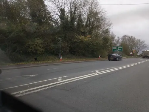
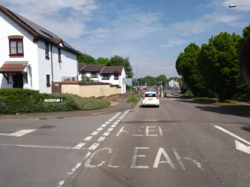
White Lodge
Restaurant · British · 1.5 mi
81 Bridgwater Road, Taunton
Mo-Sa 12:00-23:00; Su 12:00-22:30
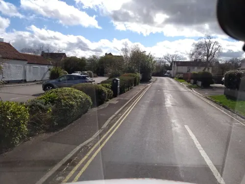
The Bathpool Inn
Bar and pub · 1.2 mi
102 Bridgwater Road, Taunton
Mo-Th 11:30-23:00; Fr-Sa 09:00-23:00; Su 09:00-22:30
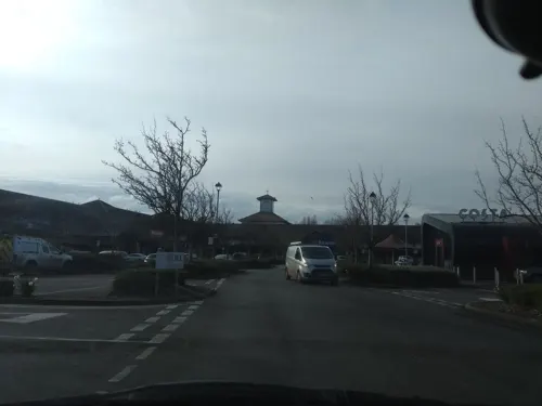
The Hankridge Arms
Bar and pub · 1.1 mi
Hankridge Way, Taunton
Mo-Fr 12:00-15:00,17:00-22:00; Sa 12:00-22:00; Su 12:00-17:00
Taste Cafe
Cafe · Coffee Shop · 1.0 mi
Hankridge Farm, Taunton
Mo-Sa 08:00-17:00; Su 10:00-16:00


The Griffin Harvester
Diner · American · 1.3 mi
Blackbrook Park Avenue, Taunton
Mo-Sa 09:00-23:00; Su 09:00-22:00


6 more on the map.
History
The name derives from the Celtic crug, "hill"(although local residents think it means "creek", because the area is relatively flat), and the parish church of St. Michael, which dates from the 13th century.
Charlton House is a Grade II listed manor house, formerly in the ownership of the Acland and Coombe families.
The Bridgwater & Taunton Canal provides a picturesque route through the village for pleasure boats, and the towpath is open to pedestrians and cyclists. There are also dramatic remains of the Chard Canal, including the (filled) junction with the Bridgwater & Taunton Canal, a raised embankment leading south from the village, a ruined aqueduct that would have carried the canal over the River Tone, and the abutments of a second aqueduct across a local road.
The Bristol and Exeter Railway line was opened through the village in 1842 and the junction of the Chard Branch Line was located here in 1860, but Creech St Michael railway station was not opened until 13 August 1928. The station was actually north of the junction so was only used by trains to Yeovil and Bristol. It closed on 5 October 1964 but the line is still open, forming a part of the London to Penzance main line. The branch is closed but remains of it are visible. including the skeleton of a five-arched bridge across the River Tone, and an embankment curving south, parallel to the abandoned canal.
Read more of the history
A large paper mill was built on the river to the west of the village in 1875, finally closing in 1993.
In the Second World War, a line of fortifications was built on the boundary of the village, as part of the Taunton Stop Line. The line was meant to contain any German invasion of the south west peninsula. Several pillboxes remain along the Bridgwater & Taunton Canal, one at the old junction with the Chard canal, and one on the embankment of the Chard railway.
From the History section of Creech St Michael on Wikipedia, under CC BY-SA 4.0.
Notable people from Creech Saint Michael
- Percival WhittonFootballer (1892-1978)
Born in Creech Saint Michael, according to Wikidata (CC0). Each name links to its Wikipedia article.
Where to stay8
Churches and places of worship24
Shopping3
Gas and EV charging2
Schools, colleges and libraries5
Healthcare1
Map of Creech Saint Michael
76 places. The map loads OpenStreetMap tiles when you open it.
Getting there and nearby towns
Royal Naval Air Station Yeovilton (YEO) is the nearest airport with scheduled flights listed in OpenStreetMap, 17 miles away.
- Taunton 3 mi west, about 5 min by car
- Bridgwater 7 mi north, about 12 min by car
- Curry Rivel 7 mi east, about 12 min by car
- Westonzoyland 8 mi northeast, about 12 min by car
- Milverton 9 mi west, about 15 min by car
- Nether Stowey 10 mi northwest, about 16 min by car
- Chard 11 mi south, about 17 min by car
- Huntspill 13 mi north, about 21 min by car
- Burnham-on-Sea 15 mi north, about 24 min by car
- Street 15 mi northeast, about 24 min by car
Drive times are estimates from straight-line distance, not routes.
Towns near Creech Saint Michael


Keep exploring
Local news
Headlines from INDB.
Reviews, tips and questions
Loading what members have shared...
Sources and licences
- GeoNames (CC BY 4.0): population, coordinates, regions and time zone
- Mapillary (see each image): photos
- OpenStreetMap contributors (ODbL 1.0): places, airports, map data
- Wikidata (CC0 1.0): elevation, founding date, time zone, website, landmarks and historic places
- Wikimedia Commons (see each image): photos
- Wikipedia (CC BY-SA 4.0): overview and history text
Photo credits
- Brewhouse theatre Taunton, Nick Chipchase, CC BY-SA 2.0
- SomersetMuseum, Chris Jeanes, CC BY-SA 3.0
- Somerset cricket museum, Harrias, CC BY-SA 3.0
- Taunton Castle, Rodw, CC0
- Hestercombe Gardens (6097257589), xlibber, CC BY 2.0
- Vivary fountain 3-2793, Julie Anne Workman, CC BY-SA 3.0
- Ruishton church (2021) north side, Geof Sheppard, CC BY-SA 4.0
- StAugustineWMonkton, Celiakozlowski, CC BY-SA 4.0
- Hatchbchurch, Dbown100, CC BY 3.0
- St John the Evangelist, Taunton (2021), Geof Sheppard, CC BY-SA 4.0
- Stoke St Mary church, Nick Chipchase, CC BY-SA 2.0
- Church of St Michael, Creech St Michael, Rodw, CC0
- Northcurrychurch, Celiakozlowski at English Wikipedia, CC BY 3.0
- Thurlbear church, Nick Chipchase, CC BY-SA 2.0
- St James' Taunton (2020), Geof Sheppard, CC BY-SA 4.0
- Thornfalcon church, Chris Downer, CC BY-SA 2.0
- Heathfield Community School, Rodw, CC0
- Street-level photo, southglos, CC BY-SA 4.0
- Street-level photo, ukchris, CC BY-SA 4.0
- Street-level photo, ukchris, CC BY-SA 4.0
- Street-level photo, ukchris, CC BY-SA 4.0
- Street-level photo, ukchris, CC BY-SA 4.0
- Street-level photo, ukchris, CC BY-SA 4.0
- Street-level photo, ukchris, CC BY-SA 4.0
- Street-level photo, nordmannnick, CC BY-SA 4.0
- Street-level photo, ukchris, CC BY-SA 4.0
- Street-level photo, ukchris, CC BY-SA 4.0
- Street-level photo, southglos, CC BY-SA 4.0
- Street-level photo, ukchris, CC BY-SA 4.0
- Street-level photo, RyanBush, CC BY-SA 4.0


Page built November 10, 2026. Spotted a mistake? Tell us or suggest a place.