
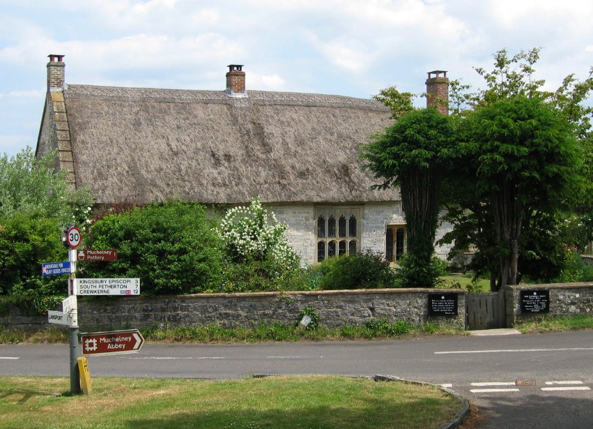


Curry Rivel, United Kingdom
Curry Rivel is a town of 1,844 people in England, United Kingdom.
Why visit Curry Rivel
Townapedia lists 5 museums and landmarks and 3 places to eat in and around town.
Highlights include Burton Pynsent Monument and Muchelney Abbey.
Weather in Curry Rivel
Forecast from MET Norway (CC BY 4.0). Full forecast
About Curry Rivel
Curry Rivel is a village and civil parish in Somerset, England, around 6 miles (10 km) west of Somerton and 10 miles (16 km) east of Taunton in the South Somerset district. The parish had a population of 2,347 at the 2021 census, and includes the hamlets of Burton Pynsent, Wick and Wiltown.
From the Wikipedia article Curry Rivel (this version), under CC BY-SA 4.0.
Museums and landmarks5

Burton Pynsent Monument
Monument and historic site · 1.0 mi
Grade I listed monument in Curry Rivel, Somerset, England, UK

Muchelney Abbey
Museum · 2.3 mi
Grade I listed historic house museum in South Somerset, England, UK

The Priest's House
Museum · 2.3 mi
Grade II listed historic house museum in Muchelney, Somerset, England, UK

Restaurants and cafes3
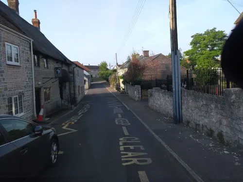
Churches and places of worship14
Church of All Saints
Church · 3.0 mi
Church building in Isle Brewers, South Somerset, England, UK

Church of All Saints, Langport
Church · 2.1 mi
Church in Langport, Somerset, England, UK

Church of Saint Andrew
Church · 2.2 mi
Church in South Somerset, England, UK

Church of St Catherine
Church · 1.8 mi
Church in Swell, Fivehead, Somerset, England, UK
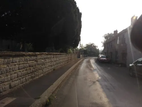
Church of St Catherine, Drayton
Church · 0.8 mi
Church in South Somerset, England, UK

Church of St Gregory, Stoke St Gregory
Church · 3.0 mi
Church in Stoke St Gregory, UK
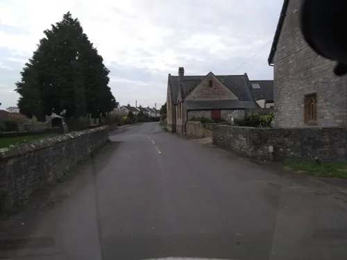
Church of St Martin, Fivehead
Church · 2.9 mi
Church in Fivehead, Somerset, England, UK

Church of St Peter and St Paul, Muchelney
Church · 2.3 mi
Church in Muchelney, Somerset, England, UK

Church of the Blessed Virgin Mary, Huish Episcopi
Church · 2.3 mi
Church in Huish Episcopi, Somerset, England, UK

Church of St James the Less
Church · 2.6 mi
Church building in Hambridge and Westport, South Somerset, England, UK
St Andrew's Church
Church
Church in Curry Rivel, Somerset, England, UK
2 more on the map.
Gas and EV charging1
History
The site of a Roman house has been discovered south of Fairview House. The site is on the Heritage at Risk Register due to ploughing.
The name Curry Rivel comes from the Celtic word crwy, meaning boundary and Rivel from its 12th-century landlord Sir Richard Revel.
In 1237 the king granted Henry de l'Orti a licence to empark his woods in Curry Rivel, separating it from the control of the foresters of Castle Neroche.
From the History section of Curry Rivel on Wikipedia, under CC BY-SA 4.0.
Notable people from Curry Rivel
- David Howard Maude-Roxby-Montalto di FragnitoBritish artist craftsman
Born in Curry Rivel, according to Wikidata (CC0). Each name links to its Wikipedia article.
Schools, colleges and libraries1
Map of Curry Rivel
24 places. The map loads OpenStreetMap tiles when you open it.
Getting there and nearby towns
Royal Naval Air Station Yeovilton (YEO) is the nearest airport with scheduled flights listed in OpenStreetMap, 10 miles away.
- Westonzoyland 6 mi northwest, about 10 min by car
- Bridgwater 9 mi northwest, about 15 min by car
- Street 9 mi northeast, about 14 min by car
- Taunton 10 mi west, about 16 min by car
- Chard 11 mi south, about 18 min by car
- West Coker 11 mi southeast, about 17 min by car
- Yeovil 12 mi southeast, about 19 min by car
- Huntspill 14 mi north, about 22 min by car
- Burnham-on-Sea 16 mi north, about 26 min by car
- Wells 16 mi northeast, about 26 min by car
Drive times are estimates from straight-line distance, not routes.
Towns near Curry Rivel


Keep exploring
Local news
Headlines from INDB.
Reviews, tips and questions
Loading what members have shared...
Sources and licences
- GeoNames (CC BY 4.0): population, coordinates, regions and time zone
- Mapillary (see each image): photos
- OpenStreetMap contributors (ODbL 1.0): places, airports, map data
- Wikidata (CC0 1.0): elevation, founding date, time zone, website, landmarks and historic places
- Wikimedia Commons (see each image): photos
- Wikipedia (CC BY-SA 4.0): overview and history text
Photo credits
- Priesthouse, User:Celiakozlowski, CC BY 3.0
- Willows and wetlands centre, Rodw, CC BY-SA 3.0
- All Saints' Church, Langport, Somerset (5526999731), Robert Cutts from Bristol, England, UK, CC BY 2.0
- Allerchurch, Dbown100, CC BY 3.0
- Swell church, Chris Downer, CC BY-SA 2.0
- Stokestgregorychurch, Andy Fish, CC BY-SA 2.0
- Muchelney Church (St. Peter & St. Paul) (35913905955), Hugh Llewelyn from Keynsham, UK, CC BY-SA 2.0
- St. Mary's Church, Huish Episcopi 04, Simon Burchell, CC BY-SA 4.0
- Burton Pynsent Monument 2, Edward Purves, CC BY-SA 3.0
- Muchelney Abbey. - panoramio, Robert Powell, CC BY-SA 3.0
- Street-level photo, ukchris, CC BY-SA 4.0
- Street-level photo, ukchris, CC BY-SA 4.0
- Street-level photo, ukchris, CC BY-SA 4.0
- Street-level photo, southglos, CC BY-SA 4.0
- Street-level photo, ukchris, CC BY-SA 4.0
- Street-level photo, ukchris, CC BY-SA 4.0
- Street-level photo, ukchris, CC BY-SA 4.0
- Street-level photo, ukchris, CC BY-SA 4.0
- Street-level photo, ukchris, CC BY-SA 4.0
- Street-level photo, southglos, CC BY-SA 4.0
Page built November 10, 2026. Spotted a mistake? Tell us or suggest a place.