


Nether Stowey, United Kingdom
Nether Stowey is a town of 1,373 people in England, United Kingdom.
Why visit Nether Stowey
Townapedia lists 7 museums and landmarks, 1 park or trail, 6 places to eat and 2 places to stay in and around town.
Highlights include Coleridge Cottage and Stowey Castle.
Weather in Nether Stowey
Forecast from MET Norway (CC BY 4.0). Full forecast
About Nether Stowey
Nether Stowey is a large village in Somerset, South West England. It sits in the foothills of the Quantock Hills (England's first Area of Outstanding Natural Beauty), just below Over Stowey. The parish of Nether Stowey covers approximately 4 km2, with a population of 1,482 (2021 census).
From the Wikipedia article Nether Stowey (this version), under CC BY-SA 4.0.
Museums and landmarks7

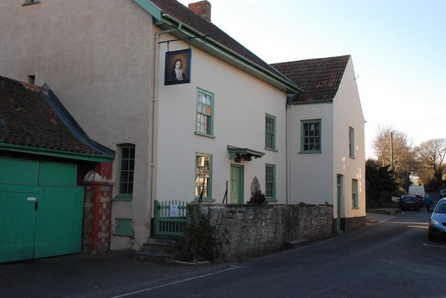
Coleridge Cottage
Monument and historic site
Historic cottage in Nether Stowey, Somerset, England, UK
35 Lime Street, Bridgwater

Stowey Castle
Monument and historic site · 0.4 mi
Grade I listed castle in Nether Stowey, Somerset, England, UK
Dowsborough
Monument and historic site · 2.0 mi
Hillfort in Somerset, England, UK
Stogursey Castle
Monument and historic site · 1.9 mi
Castle in Stogursey, Somerset, England, UK
Parks, trails and playgrounds1

Restaurants and cafes6

The Kitchen
Cafe · 0.9 mi
A39, Bridgwater
Mo-Tu 09:00-17:00; We-Sa 09:00-22:00; Su 07:00-16:00; PH closed

Where to stay2

History
The Iron Age fort of Dowsborough lies about one and a half miles west of the village.
In the Domesday Book of 1086 it was recorded as Stawei, the name coming from the Old English stan weg, or paved road.
The parish of Nether Stowey was part of the Williton and Freemanners Hundred.
Nether Stowey may have been a borough as early as 1157 or 1158 but by 1225 it is officially recorded as such. The economy of the medieval town was based on textiles and pottery, and it had both a weekly market and a yearly fair after 1304.
During the "Bloody Assizes" in the autumn of 1685, in the aftermath of Duke of Monmouth's Rebellion, men from Nether Stowey who were caught up in the rebellion are said to have been hanged, drawn and quartered in the village after they were sentenced to death by Judge Jeffries. Their body parts were then displayed around the village to discourage others from rebellion against the King. Many villages throughout the South West were witness to the same bloody retribution.
From the History section of Nether Stowey on Wikipedia, under CC BY-SA 4.0.
Notable people from Nether Stowey
 Robert PersonsJesuit missionary and controversialist (1546-1610)Photo: Jacob Neefs, Public domain
Born in Nether Stowey, according to Wikidata (CC0). Each name links to its Wikipedia article.
Churches and places of worship12
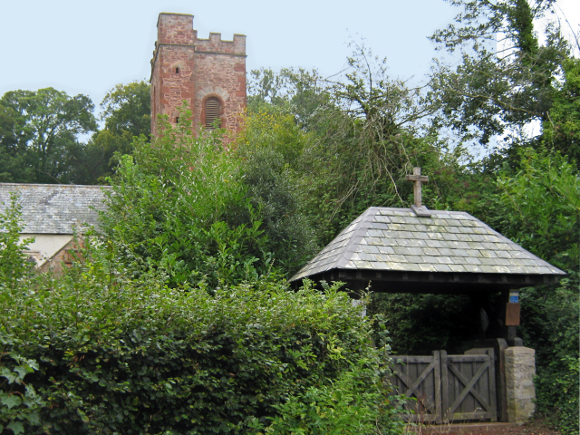
Church of St. Peter and St. Paul
Church · Anglican · 0.8 mi
Over Stowey Road, Bridgwater
Schools, colleges and libraries2
Map of Nether Stowey
30 places. The map loads OpenStreetMap tiles when you open it.
Getting there and nearby towns
Cardiff Airport (CWL) is the nearest airport with scheduled flights listed in OpenStreetMap, 19 miles away.
- Bridgwater 7 mi east, about 11 min by car
- Burnham-on-Sea 9 mi northeast, about 15 min by car
- Taunton 10 mi south, about 16 min by car
- Westonzoyland 10 mi east, about 17 min by car
- Minehead 15 mi west, about 23 min by car
- Weston-super-Mare 16 mi northeast, about 25 min by car
- Wedmore 16 mi east, about 26 min by car
- Barry 18 mi north, about 29 min by car
- Street 18 mi east, about 29 min by car
- Cardiff 23 mi north, about 37 min by car
Drive times are estimates from straight-line distance, not routes.
Towns near Nether Stowey


Keep exploring
Local news
Headlines from INDB.
Reviews, tips and questions
Loading what members have shared...
Sources and licences
- GeoNames (CC BY 4.0): population, coordinates, regions and time zone
- Mapillary (see each image): photos
- OpenStreetMap contributors (ODbL 1.0): places, airports, map data
- Wikidata (CC0 1.0): elevation, founding date, time zone, website, landmarks and historic places
- Wikimedia Commons (see each image): photos
- Wikipedia (CC BY-SA 4.0): overview and history text
Photo credits
- Coleridge cottage, Andrew Riley, CC BY-SA 2.0
- All Saints Church Dodington, Ken Grainger, CC BY-SA 2.0
- Adscombe Chapel fragment of masonry 01, Timbow001, CC BY-SA 4.0
- St Andrew's Church, Stogursey, West Somerset (2879323574), Robert Cutts from Bristol, England, UK, CC BY 2.0
- Charlynch church, Ken Grainger, CC BY-SA 2.0
- Church at Over Stowey, Burn the asylum, CC BY-SA 3.0
- Street-level photo, ukchris, CC BY-SA 4.0
- Street-level photo, southglos, CC BY-SA 4.0
- Street-level photo, southglos, CC BY-SA 4.0
- Street-level photo, southglos, CC BY-SA 4.0
Page built November 10, 2026. Spotted a mistake? Tell us or suggest a place.