


Why visit Oakley
Townapedia lists 6 museums and landmarks, 13 parks and trails, 34 places to eat, 4 places to stay and 2 attractions in and around town.
Highlights include Tivoli Theatre, Lady Wimborne Bridge, Museum of East Dorset and Kingston Lacy.
Weather in Oakley
Forecast from MET Norway (CC BY 4.0). Full forecast
About Oakley
Oakley is a village community in Dorset, England. Sitting just south of the River Stour it borders the suburb of Merley and the village of Canford Magna to the East and South and the Town of Wimborne 2 km to the North. The B3073, which links Wimborne and Poole, runs through the community.
From the Wikipedia article Oakley, Dorset (this version), under CC BY-SA 4.0.
Photos of Oakley

Things to do2
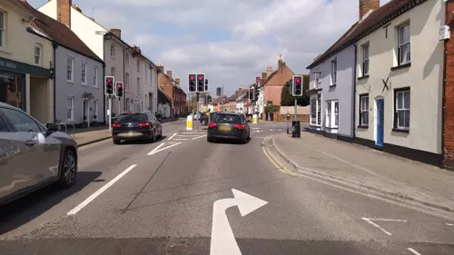

Lady Wimborne Bridge
Bridge · 0.5 mi
Bridge in Poole, Dorset, England, UK
Museums and landmarks6
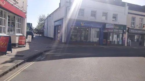

Kingston Lacy
Museum · 3.4 mi
Country house with Bankes' Collections near Wimborne Minster, Dorset, England, UK

Dudsbury Camp
Monument and historic site · 3.3 mi
Hillfort in Dorset, England, UK
Philae obelisk
Monument and historic site · 3.3 mi
Obelisk found at Philae, Egypt
Parks, trails and playgrounds13


Merley Park Golf Course
Golf course · 0.5 mi
9 hole Par 27
Merley Park Road, Wimborne

1 more on the map.
Restaurants and cafes34
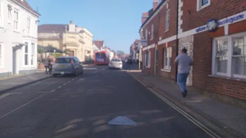
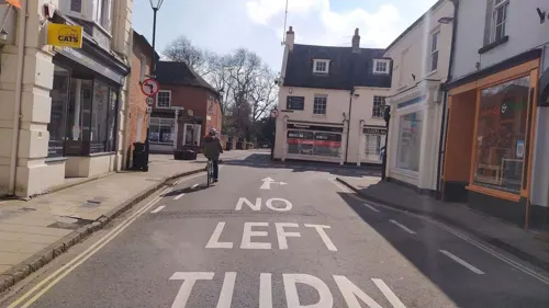
Bear
Bar and pub · Breakfast, Cake, Coffee Shop · 1.3 mi
71 High Street, Wimborne Minster
Mo-We 08:00-17:00; Th-Sa 08:00-22:00; Su 08:30-17:00
Rimjhim
Restaurant · Nepalese, Indian · 1.4 mi
4 West Street, Wimborne Minster
Tu-Su 12:00-14:30,17:30-23:00; Mo off
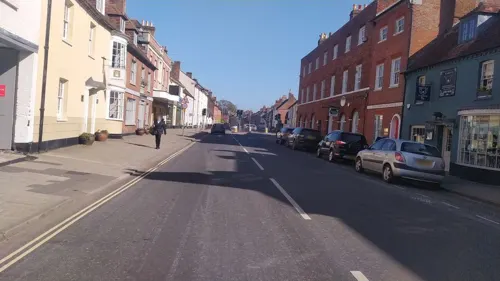
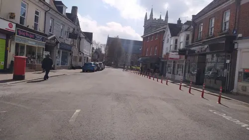
Caffè Nero
Cafe · Coffee Shop · 1.4 mi
8 High Street, Wimborne Minster
Mo-Sa 07:00-18:00; Su 08:00-17:00
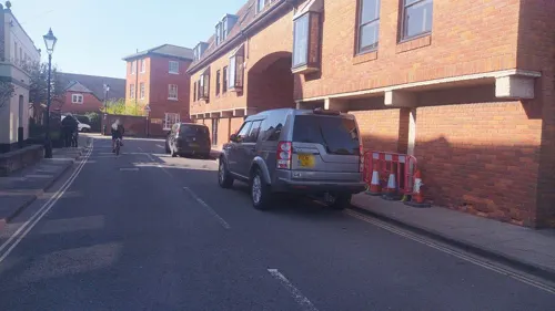
Costa
Cafe · Coffee Shop · 1.4 mi
East Borough
Mo-Fr 06:30-17:30; Sa 06:30-17:00; Su 07:30-16:30
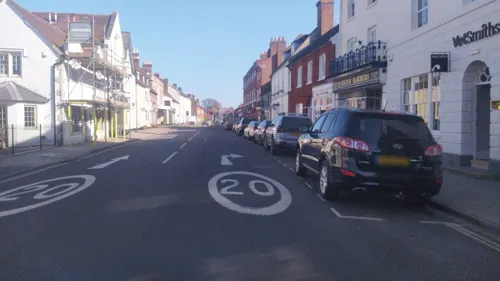

22 more on the map.
Where to stay4
Churches and places of worship15
Shopping10
Gas and EV charging1
Schools, colleges and libraries7
St John's Church of England First School, Wimborne
School · Anglican · 1.1 mi
St John's Hill, Wimborne
Healthcare4
Map of Oakley
96 places. The map loads OpenStreetMap tiles when you open it.
Getting there and nearby towns
Bournemouth Airport (BOH) is the nearest airport with scheduled flights listed in OpenStreetMap, 6 miles away.
- Wimborne Minster 1 mi west, about 1 min by car
- Broadstone 2 mi southwest, about 3 min by car
- Ferndown 3 mi northeast, about 5 min by car
- Poole 5 mi south, about 8 min by car
- Sturminster Marshall 5 mi west, about 8 min by car
- Bournemouth 6 mi southeast, about 9 min by car
- Arne 7 mi southwest, about 11 min by car
- Verwood 8 mi northeast, about 12 min by car
- Christchurch 9 mi east, about 14 min by car
- Ringwood 9 mi northeast, about 14 min by car
Drive times are estimates from straight-line distance, not routes.
Towns near Oakley


Keep exploring
Local news
Headlines from INDB.
Reviews, tips and questions
Loading what members have shared...
Sources and licences
- GeoNames (CC BY 4.0): population, coordinates, regions and time zone
- Mapillary (see each image): photos
- OpenStreetMap contributors (ODbL 1.0): places, airports, map data
- Wikidata (CC0 1.0): elevation, founding date, time zone, website, landmarks and historic places
- Wikimedia Commons (see each image): photos
- Wikipedia (CC BY-SA 4.0): overview and history text
Photo credits
- Wilts & Dorset school bus Northern Counties in Oakley, Dorset 4 February 2009, Peter Kazmierczak, CC BY-SA 2.0
- Kingston Lacy House (South), Vauxford, CC BY-SA 4.0
- Hampreston Church, John Smitten, CC BY-SA 2.0
- St andrews church kinson, User:Jbattersby, CC BY-SA 3.0
- Longham United Reformed Church, Dorset, JackPeasePhotography, CC BY 2.0
- St George's Church Oakdale Poole Dorset, Dave Kelly, CC BY-SA 2.0
- Canford School, Anastasiaacole, CC BY-SA 3.0
- View of the Southern Side of Saint Cuthburga's Church, Wimborne Minster, Ethan Doyle White, CC BY-SA 4.0
- Jessie the Jack-a-poo, JackPeasePhotography, CC BY 2.0
- Lady Wimborne Bridge, Dorset, JackPeasePhotography, CC BY 2.0
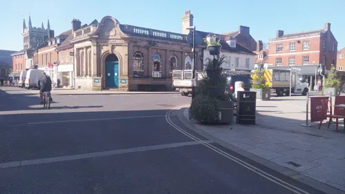
- Street-level photo, noid, CC BY-SA 4.0
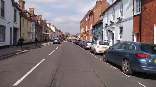
- Street-level photo, noid, CC BY-SA 4.0
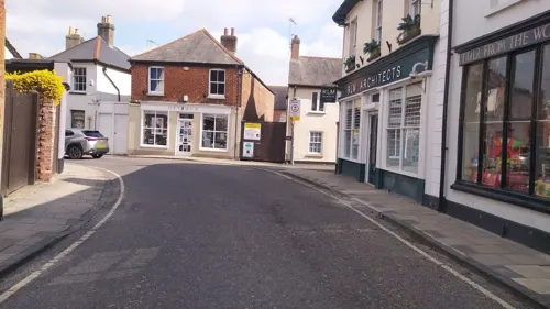
- Street-level photo, noid, CC BY-SA 4.0
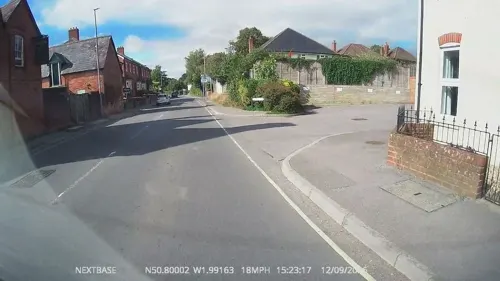
- Street-level photo, noid, CC BY-SA 4.0
- Street-level photo, noid, CC BY-SA 4.0
- Street-level photo, noid, CC BY-SA 4.0
- Street-level photo, noid, CC BY-SA 4.0
- Street-level photo, noid, CC BY-SA 4.0
- Street-level photo, noid, CC BY-SA 4.0
- Street-level photo, noid, CC BY-SA 4.0
- Street-level photo, OrangeHurst97, CC BY-SA 4.0
- Street-level photo, noid, CC BY-SA 4.0
- Street-level photo, noid, CC BY-SA 4.0
- Street-level photo, noid, CC BY-SA 4.0
- Street-level photo, noid, CC BY-SA 4.0
- Street-level photo, noid, CC BY-SA 4.0
- Street-level photo, noid, CC BY-SA 4.0
- Street-level photo, noid, CC BY-SA 4.0
- Street-level photo, noid, CC BY-SA 4.0
- Street-level photo, noid, CC BY-SA 4.0


Page built November 10, 2026. Spotted a mistake? Tell us or suggest a place.