
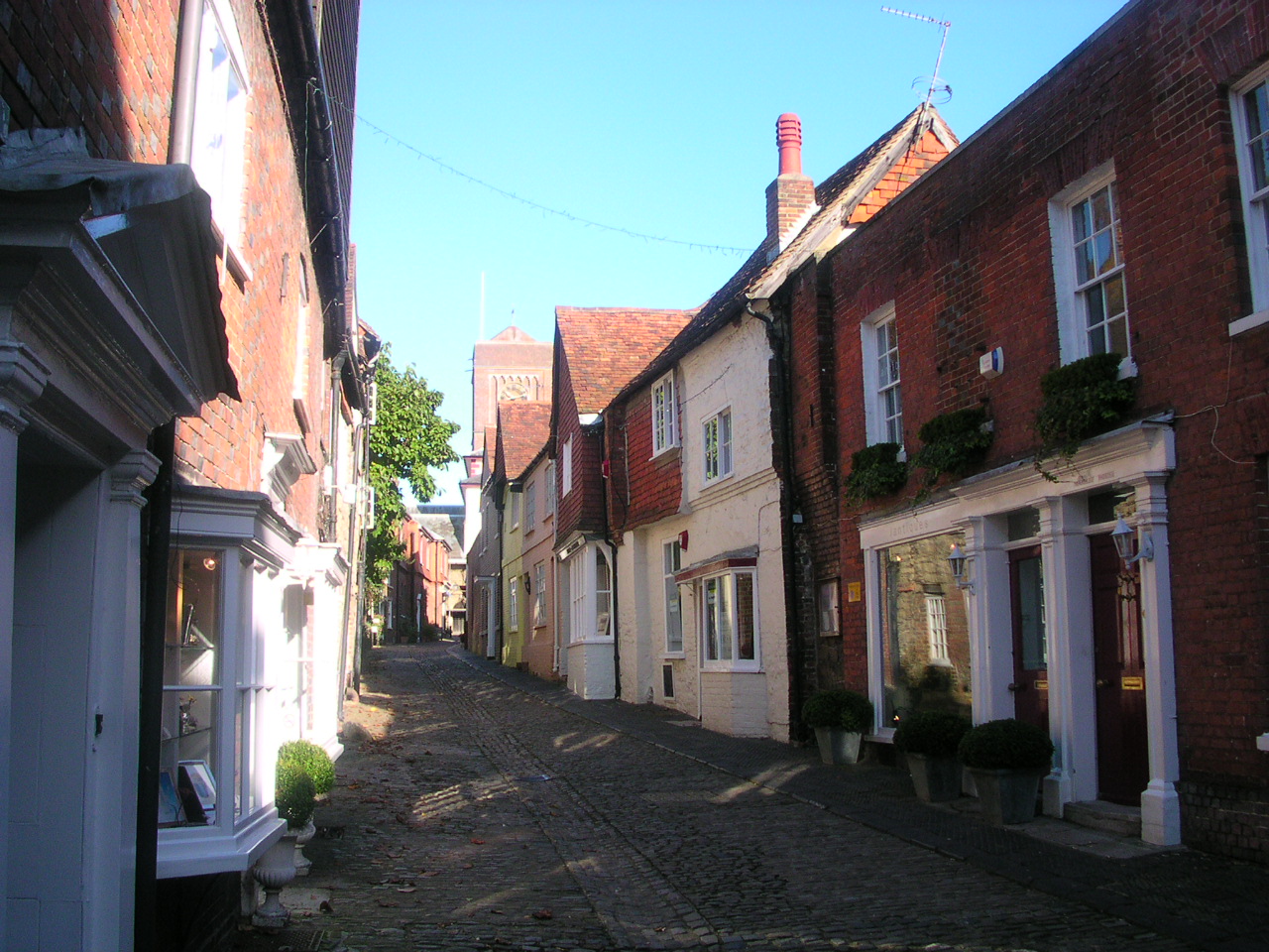


Why visit Petworth
Townapedia lists 16 museums and landmarks, 4 parks and trails, 21 places to eat, 3 places to stay and 2 attractions in and around town.
Highlights include Old Swan Bridge, Stopham Bridge, Petworth House and Petworth Cottage Museum.
Weather in Petworth
Forecast from MET Norway (CC BY 4.0). Full forecast
About Petworth
Petworth is a town and civil parish in the Chichester District of West Sussex, England. It is located at the junction of the A272 east–west road from Heathfield to Winchester and the A283 Milford to Shoreham-by-Sea road.
From the Wikipedia article Petworth (this version), under CC BY-SA 4.0.
Things to do2

Old Swan Bridge
Bridge · 4.7 mi
Bridge in Pulborough, West Sussex, England

Stopham Bridge
Bridge · 3.9 mi
Grade I listed bridge in Stopham, West Sussex, England
Museums and landmarks16

Petworth House
Monument and historic site
Historic estate museum in West Sussex, England, UK
Church Street, Petworth


Bignor Roman Villa
Museum · 4.4 mi
Archaeological site and museum in Sussex, England, UK

Ionic Rotunda
Monument and historic site · 0.4 mi
The Ionic Rotunda was erected in around 1765 on the site suggested by ‘Capability’ Brown's 1752 plan. He positioned it on the steep...


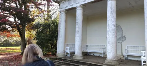
Doric Temple
Monument and historic site
Capability Brown sited the Doric Temple here for the view across the Shimmings Valley. The Temple was formerly situated on terraces that...
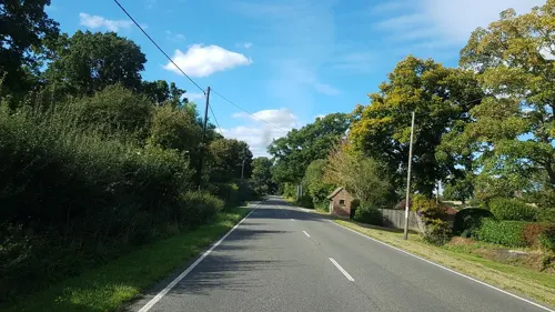
Tudor Remains
Monument and historic site · 0.6 mi
Recent archaeology has revealed the remains of a large Tudor building on the hill to your right. It is thought that this may be the...

Beelzebub Oak
Monument and historic site · 1.5 mi
An oak on this spot is shown on maps as far back as 1779, when it marked the parish boundary. The girth of the current oak gives its age...
Common Lime
Monument and historic site · 0.6 mi
Difficult to age as the trunk has fragmented but perhaps is 5/600 yrs old with a 7.46m girth. It could continue hollow for several...
Lower Pond
Monument and historic site · 1.0 mi
In 1603, this area was ‘fowle & deepe of myre. 'Capability' Brown designed the pond to go here, along with the culverts that feed it,...
Norman Oak
Monument and historic site
Petworth was a royal gift by Henry I's widow in 1150 to the Percy family (powerful landowners in the North). The oak tree has survived...
4 more on the map.
Parks, trails and playgrounds4


Restaurants and cafes21
The Stonemason's
Bar and pub · 0.4 mi
Pub - Dining - Rooms
North Street, Petworth
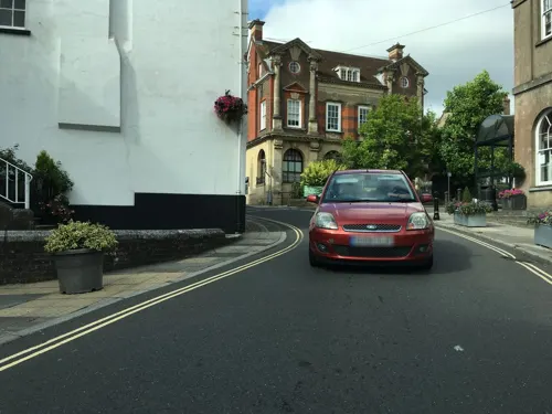
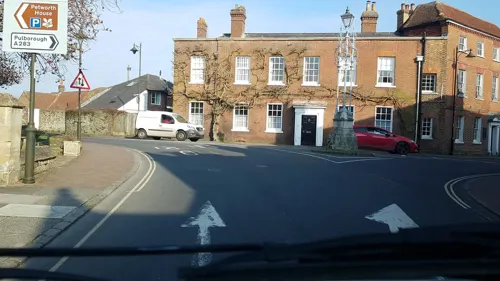
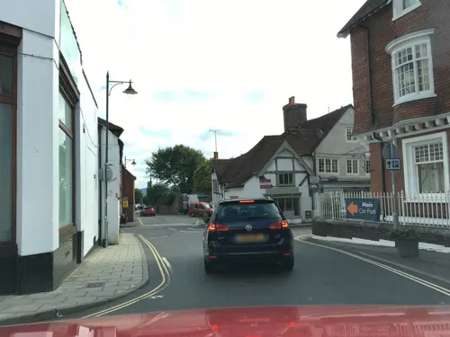
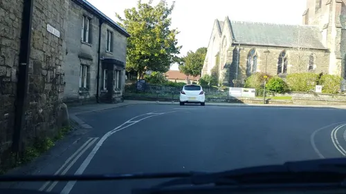


9 more on the map.
History
The name Petworth derives from the Old English pyttaworð or peotaworð meaning 'Pytta's' or 'Peota's enclosure'.
The town is mentioned in the Domesday Book of 1086 as having 44 households (24 villagers, 11 smallholders and nine slaves) with woodland and land for ploughing and pigs and 24 acres (9.7 ha) of meadows. At that time it was in the ancient hundred of Rotherbridge.
Petworth is the location of the 17th-century stately home Petworth House, the grounds of which (known as Petworth Park) were the work of Capability Brown. The house and its grounds are now owned and maintained by the National Trust.
In the early 17th century, the question of Petworth's status as an honour or a town came up when the Attorney General charged William Levett of Petworth, Gent., son of Anthony Levett, with "having unlawfully usurped divers privileges within the town of Petworth, which was parcel of the Honour of Arundel." William Levett's son Nicholas became rector of Westbourne, West Sussex. Leconfield Hall, which was formerly Petworth Town Hall, was completed in 1793.
Another historic attraction in the town, Petworth Cottage Museum in High Street, is a museum of domestic life for poor estate workers in the town in about 1910. At that time the cottage was the home of Mrs. Cummings, a seamstress, whose drunkard husband had been a farrier in the Royal Irish Hussars and on the Petworth estate.
Read more of the history
Petworth fell victim to bombing in the Second World War on 29 September 1942, when a lone German Heinkel He 111, approaching from the south over Hoes Farm, aimed three bombs at Petworth House in whose grounds Canadian troops were encamped. The bombs missed the house, but one bounced off a tree and landed on the Petworth Boys' School in North Street, killing 28 boys, the headmaster, Charles Stevenson, and assistant teacher Charlotte Marshall.
From the History section of Petworth on Wikipedia, under CC BY-SA 4.0.
More about Petworth
Arts and culture
Petworth House was one of the main locations for the 2014 Mike Leigh film Mr. Turner, which put Timothy Spall as the artist Turner in the actual locations where he painted in the early 19th century.
The Petworth Society was founded in 1974 to protect the character and amenities of the parishes of Petworth and Byworth.
Newlands House Gallery, a gallery of modern and contemporary art, photography and design, opened in 2020.
Education
Petworth Primary School is the only school in the town. The school is at the south of the town and takes pupils up until Year 6. Until 2008 the Herbert Shiner School took pupils in years 6, 7 and 8 before they moved on to Midhurst Grammar School but this closed when the new Midhurst Rother College was opened.
From the Wikipedia article Petworth, under CC BY-SA 4.0.
Notable people from Petworth
 Thomas Percy, 7th Earl of NorthumberlandEarl of NorthumberlandPhoto: Steven van der Meulen, Public domain
 Alex HorneBritish comedianPhoto: PhilipRomanoPhoto, CC BY 4.0
 Frances Marsham, Countess RomneyBritish noblePhoto: Attributed to John Hoppner, Public domain
 Sir Henry Morris, 1st BaronetBritish doctorPhoto: Anton Mansch, Public domain
- Wilfrid Scawen BluntBritish poet and writer (1840–1922)
- James SouthertonCricket player of England. (1827-1880)
- Edmund TurgesEnglish composer
- George Knightcricketer (1835-1901)
- John DillowayEnglish cricketer (1798-1869)
- James Deancricketer, born 1842 (1842–1869)
- Max Wyndham, 2nd Baron EgremontBritish baron
- Eleanor Davies-ColleyBritish surgeon (1874–1934)
Born in Petworth, according to Wikidata (CC0). Each name links to its Wikipedia article.
Where to stay3
Churches and places of worship18
Shopping32
Gas and EV charging2
Schools, colleges and libraries4
Map of Petworth
102 places. The map loads OpenStreetMap tiles when you open it.
Getting there and nearby towns
Goodwood Aerodrome (QUG) is the nearest airport with scheduled flights listed in OpenStreetMap, 11 miles away.
- Fernhurst 6 mi northwest, about 10 min by car
- Haslemere 8 mi northwest, about 13 min by car
- Chiddingfold 9 mi north, about 15 min by car
- Fontwell 9 mi south, about 15 min by car
- Rudgwick 10 mi northeast, about 16 min by car
- Walberton 10 mi south, about 16 min by car
- Tangmere 10 mi southwest, about 17 min by car
- Ashington 10 mi east, about 16 min by car
- Barnham 11 mi south, about 17 min by car
- Littlehampton 12 mi south, about 20 min by car
Drive times are estimates from straight-line distance, not routes.
Towns near Petworth


Keep exploring
Local news
Headlines from INDB.
Reviews, tips and questions
Loading what members have shared...
Sources and licences
- GeoNames (CC BY 4.0): population, coordinates, regions and time zone
- Mapillary (see each image): photos
- OpenStreetMap contributors (ODbL 1.0): places, airports, map data
- Wikidata (CC0 1.0): elevation, founding date, time zone, website, landmarks and historic places
- Wikimedia Commons (see each image): photos
- Wikipedia (CC BY-SA 4.0): overview and history text
Photo credits
- Lombard Street Petworth, Charlesdrakew at English Wikipedia, Public domain
- Lombard Street, Petworth 2026-05-04, Andy Li, CC0
- National Westminster Bank, Market Square, Petworth, Smb1001, CC BY-SA 4.0
- Pulborough Bridge, River Arun, Pulborough, West Sussex, Mertbiol, CC0
- Stopham Bridge, Pulborough 12, HJ Mitchell, CC BY 4.0
- 1225989 I PETWORTH HOUSE, seen from NE Petworth 20250827 0001, Tilman2007, CC BY-SA 4.0
- Petworth0011, MilborneOne, Public domain
- Church of the Sacred Heart, Angel Street, Petworth (NHLE Code 1223770) (May 2012) (3), User:Hassocks5489, CC0
- Hardham St. Botolph's Church exterior, Kinnerton, CC BY-SA 3.0
- St Mary, Pulborough, Poliphilo, CC0
- 20080323 Petworth House (5), Donar Reiskoffer, CC BY 3.0
- Coultershaw Mill by Francis Frith, Francis Frith & Co., Public domain
- Coates st agatha, Oxenhillshaw, Public domain
- St Mary's Church, Petworth (NHLE Code 1224199), The Voice of Hassocks, CC0
- Selham Church, Charles Drake, Public domain
- St Mary's Church, Fittleworth (NHLE Code 1238939), The Voice of Hassocks, CC0
- St Bartholomew's Church, Egdean (NHLE Code 1226330), The Voice of Hassocks, CC0
- St Peter's Lodsworth, Charlesdrakew, Public domain
- The Angel Inn, Petworth, Smb1001, CC BY-SA 4.0
- The Rotunda, Petworth House, Leimenide from Hampshire, United Kingdom, CC BY 2.0
- Garden House Antiques, Saddler's Row, Petworth, Smb1001, CC BY-SA 4.0
- Duncton church 2, Charlesdrakew, Public domain
- Bignor Roman Villa MMB 03, mattbuck ( category ), CC BY-SA 4.0
- Street-level photo, noid, CC BY-SA 4.0
- Street-level photo, sk53, CC BY-SA 4.0
- Street-level photo, southglos, CC BY-SA 4.0
- Street-level photo, sk53, CC BY-SA 4.0
- Street-level photo, noid, CC BY-SA 4.0
- Street-level photo, southglos, CC BY-SA 4.0
- Street-level photo, southglos, CC BY-SA 4.0
- Street-level photo, sk53, CC BY-SA 4.0
- Street-level photo, sk53, CC BY-SA 4.0
- Street-level photo, southglos, CC BY-SA 4.0
- Street-level photo, southglos, CC BY-SA 4.0
- Street-level photo, richardc, CC BY-SA 4.0
- Street-level photo, richardc, CC BY-SA 4.0
- Street-level photo, richardc, CC BY-SA 4.0
- Street-level photo, southglos, CC BY-SA 4.0
- Street-level photo, sk53, CC BY-SA 4.0
- Street-level photo, southglos, CC BY-SA 4.0
- Street-level photo, southglos, CC BY-SA 4.0
- Street-level photo, jethro10, CC BY-SA 4.0
- Street-level photo, richardc, CC BY-SA 4.0


Page built November 10, 2026. Spotted a mistake? Tell us or suggest a place.