


Chiddingfold, United Kingdom
Chiddingfold is a town of 2,211 people in England, United Kingdom.
Why visit Chiddingfold
Townapedia lists 15 museums and landmarks, 8 parks and trails, 14 places to eat, 2 places to stay and 4 attractions in and around town.
Highlights include Hydon's Ball, Busbridge War Memorial, Godalming Museum and Elstead Group of Commons.
Weather in Chiddingfold
Forecast from MET Norway (CC BY 4.0). Full forecast
About Chiddingfold
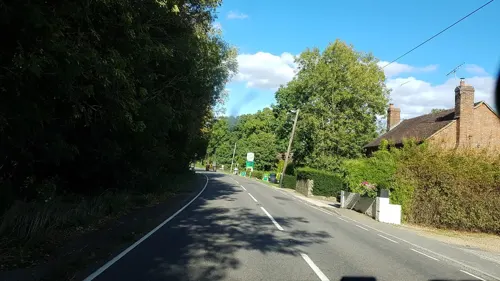
Chiddingfold is a village and civil parish in the Weald in the Waverley district of Surrey, England. It lies on the A283 road between Milford and Petworth. The parish includes the hamlets of Ansteadbrook, High Street Green and Combe Common.
From the Wikipedia article Chiddingfold (this version), under CC BY-SA 4.0.
Photos of Chiddingfold

Things to do4


Museums and landmarks15
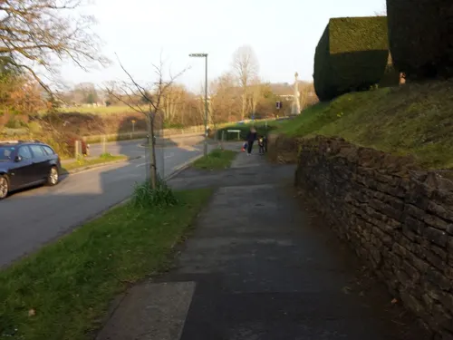
Busbridge War Memorial
Monument and historic site · 4.2 mi
War memorial in Busbridge, Surrey, England, UK

Godalming Museum
Museum · 4.6 mi
Museum in Godalming, Surrey, England, United Kingdom
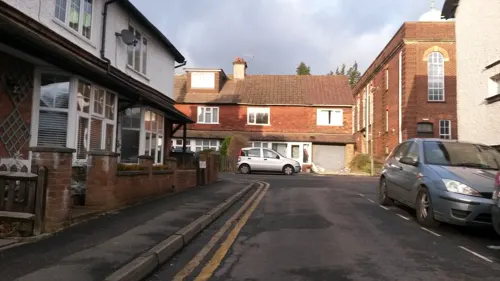
Haslemere Educational Museum
Museum · 4.4 mi
Geology, natural and human history museum, United Kingdom

Jekyll Memorial, Busbridge
Monument and historic site · 4.1 mi
Memorial in Godalming, Waverley, Surrey, England, UK

Phillips Memorial Cloister
Monument and historic site · 4.8 mi
Memorial in Godalming, Waverley, Surrey, England, UK
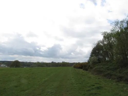

Oakhurst Cottage
Museum · 1.0 mi
A Grade II listed building located in Hambledon, Surrey, in the United Kingdom

3 more on the map.
Parks, trails and playgrounds8

Rodborough Common, Surrey
Park · 3.8 mi
Local Nature Reserve in Surrey, England


Restaurants and cafes14


Hambledon Village Shop
Cafe · Coffee Shop, Sandwich · 1.1 mi
The Cricket Green, Hambledon


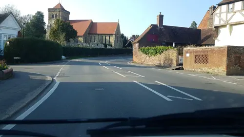


Elliott's Coffee Shop
Cafe · Coffee Shop · 0.6 mi
The Green, Chiddingfold
Mo-Sa 09:00-16:00; Su 10:00-14:00

2 more on the map.
History
The name of Chiddingfold 'Chadynge's fold', Chiddingefoulde, is derived from the Saxon, probably meaning the fold (enclosure for animals) "in the hollow".
Between the 14th and 17th centuries, Chiddingfold was a centre for glass-making. Window glass was made in the village in the 1350s for St Stephen's Chapel, Westminster and St. George's Chapel, Windsor.
The village appears on Ignazio Danti's 1565 map of the British Isles, which is on display at the Palazzo Vecchio in Florence, Italy.
The Guy Fawkes festivities saw in 1887 the village policeman's house attacked by a mob – he was later transferred elsewhere – he may have set the fire early or failed to prevent it from being lit before time. The event of 1929 faced wider unrest, culminating a week later with talk of ducking innocent Sgt Brake into the pond being stalled by 200 Surrey officers using specially requisitioned buses; the village pubs were ordered to close and a JP was on hand to read the Riot Act should it have proved necessary.
There was, from a date in the 19th century until the early 20th century, a tile and brickworks, extracting and processing the clay underlying the parish.
Chiddingfold has an archive which shows the history of Chiddingfold and the previous owners of Chiddingfold houses.
From the History section of Chiddingfold on Wikipedia, under CC BY-SA 4.0.
Notable people from Chiddingfold
- David FlemingBritish activist
- Alice Mary BucktonBritish educator and author (1867 - 1944)
- Peter DenyerEnglish footballer (born 1957)
Born in Chiddingfold, according to Wikidata (CC0). Each name links to its Wikipedia article.
Where to stay2
Churches and places of worship18
Shopping1
Schools, colleges and libraries6
Map of Chiddingfold
68 places. The map loads OpenStreetMap tiles when you open it.
Getting there and nearby towns
Farnborough Airport (FAB) is the nearest airport with scheduled flights listed in OpenStreetMap, 13 miles away.
- Wormley 2 mi northwest, about 3 min by car
- Haslemere 4 mi southwest, about 7 min by car
- Godalming 5 mi north, about 7 min by car
- Cranleigh 6 mi east, about 10 min by car
- Fernhurst 6 mi southwest, about 10 min by car
- Churt 7 mi west, about 11 min by car
- Guildford 8 mi north, about 13 min by car
- Rudgwick 8 mi east, about 12 min by car
- Chilworth 8 mi northeast, about 13 min by car
- Ewhurst 8 mi east, about 13 min by car
Drive times are estimates from straight-line distance, not routes.
Towns near Chiddingfold


Keep exploring
Local news
Headlines from INDB.
Reviews, tips and questions
Loading what members have shared...
Sources and licences
- GeoNames (CC BY 4.0): population, coordinates, regions and time zone
- Mapillary (see each image): photos
- OpenStreetMap contributors (ODbL 1.0): places, airports, map data
- Wikidata (CC0 1.0): elevation, founding date, time zone, website, landmarks and historic places
- Wikimedia Commons (see each image): photos
- Wikipedia (CC BY-SA 4.0): overview and history text
Photo credits
- Chiddingfold Green, Charlesdrakew, Public domain
- Agnes Jekyll gravestone in St John the Baptist's church, Busbridge, Carcharoth, CC BY-SA 4.0
- Jack Phillip's Memorial, Godalming, Nigel Cox, CC BY-SA 2.0
- All Saints Church, Grayswood Road, Grayswood (June 2015) (8), Hassocks5489, CC0
- St Peter and St Paul's Church, Church Street, Godalming (April 2015) (2), Hassocks5489, CC0
- Former Godalming Congregational Church, Bridge Road, Godalming (April 2015) (1), Hassocks5489, CC0
- Godalming United Church, Bridge Road, Godalming (April 2015) (6), Hassocks5489, CC0
- Hambledon Church Surrey in the snow, Mdhsmith, CC BY-SA 3.0
- St Edmund King and Martyr's Church, Croft Road, Godalming (April 2015) (3), Hassocks5489, CC0
- St John the Baptist's Church, Brighton Road, Busbridge (April 2015) (10), Hassocks5489, CC0
- St Peter's Church, School Lane, Hascombe (April 2015) (12), Hassocks5489, CC0
- Hambledon Church, Colin Smith, CC BY-SA 2.0
- Hydon's Ball, Uhooep, CC BY-SA 4.0
- Dunsfold St Mary and All Saints, Oxenhillshaw ( talk ), Public domain
- All Saints Church, Witley 05, Simon Burchell, CC BY-SA 4.0
- The Crown Inn Chiddingfold DSC 2319, Ainslie, CC BY-SA 3.0
- The Star, Petworth Road, Witley, Surrey - September 2025 - 01, Mertbiol, CC0
- The White Horse, The Street, Hascombe, Surrey - July 2025 - 01, Mertbiol, CC0
- Sun Inn, The Common, Dunsfold (NHLE Code 1352770) (May 2014) (2), User:Hassocks5489, CC0
- St Peter's church, Hambledon, Surrey, Grayswoodsurrey, CC BY-SA 4.0
- Godalming Museum, 107-109 High Street, Godalming, Surrey, Mertbiol, CC0
- Street-level photo, helenst, CC BY-SA 4.0
- Street-level photo, richardc, CC BY-SA 4.0
- Street-level photo, sterylmreep, CC BY-SA 4.0
- Street-level photo, richardc, CC BY-SA 4.0
- Street-level photo, richardc, CC BY-SA 4.0
- Street-level photo, richardc, CC BY-SA 4.0
- Street-level photo, sk53, CC BY-SA 4.0
- Street-level photo, richardc, CC BY-SA 4.0
- Street-level photo, richardc, CC BY-SA 4.0
- Street-level photo, richardc, CC BY-SA 4.0
- Street-level photo, richardc, CC BY-SA 4.0
- Street-level photo, richardc, CC BY-SA 4.0


Page built November 10, 2026. Spotted a mistake? Tell us or suggest a place.