
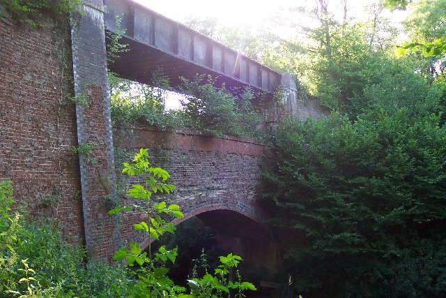


Why visit Rudgwick
Townapedia lists 16 museums and landmarks, 4 parks and trails, 8 places to eat and 4 places to stay in and around town.
Highlights include Alfoldean Roman site, Sayer's Croft LNR and Fir Tree Copse.
Weather in Rudgwick
Forecast from MET Norway (CC BY 4.0). Full forecast
About Rudgwick
Rudgwick is a village and civil parish in the Horsham District of West Sussex, England. The village is 6 miles (10 km) west from Horsham on the north side of the A281 road. The parish's northern boundary forms part of the county boundary between Surrey and West Sussex.
From the Wikipedia article Rudgwick (this version), under CC BY-SA 4.0.
Photos of Rudgwick

Museums and landmarks16
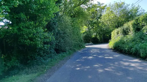

Alfoldean Roman site
Monument and historic site · 2.0 mi
Archaeological site in Slinfold, Horsham, England, UK
4 more on the map.
Parks, trails and playgrounds4



Restaurants and cafes8
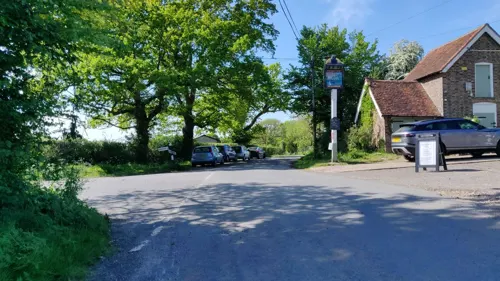
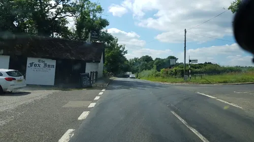
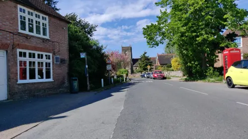



Firebird Brewery
Brewery and winery · 0.6 mi
Mo-Th 08:00-17:00; Fr 08:00-19:00; Sa 10:00-15:00
Where to stay4


History
Historically Ridgewick was an alternative form of the toponym. Riccherwyk may be another, seen in 1377.
The Church of England parish church of the Holy Trinity has a 12th-century Norman font of Sussex Marble. The belltower is early 13th century. The church was largely rebuilt in the 14th century, when the north aisle was added and probably the present chancel was built. The church is a Grade I listed building.
The parish has two 17th-century farmhouses. Garlands, 1.5 miles (2.4 km) south of the village, is early 17th century and is Grade II* listed, and Redhouse Farm, which is Grade II listed; 1 mile (1.6 km) north of the village is late 17th century. Naldrett House, 1 mile (1.6 km) south of the village, is an 18th-century Georgian farmhouse of three bays and two storeys, built of brick with stone quoins. It is Grade II listed.
During World War 2, two RAF B-25s collided in the air over Rudgwick, resulting in the deaths of 8 airmen. The crash sites, now in the grounds of Rikkyo School, were excavated in the 1990s.
Rudgwick railway station on the Cranleigh Line was opened in 1865 and closed in 1965, as part of the Beeching cuts.
In 1985, excavations in Rudgwick Brick Yard resulted in the discovery of a new species of the Polacanthus genus, which became known as the Rudgwickosaurus.
From the History section of Rudgwick on Wikipedia, under CC BY-SA 4.0.
Notable people from Rudgwick
- Reynell CottonEnglish cricketer (1717-1779)
Born in Rudgwick, according to Wikidata (CC0). Each name links to its Wikipedia article.
Churches and places of worship7
Gas and EV charging1
Schools, colleges and libraries6
Healthcare1
Map of Rudgwick
47 places. The map loads OpenStreetMap tiles when you open it.
Getting there and nearby towns
London Gatwick Airport (LGW) is the nearest airport with scheduled flights listed in OpenStreetMap, 12 miles away.
- Slinfold 2 mi southeast, about 4 min by car
- Cranleigh 4 mi north, about 6 min by car
- Warnham 4 mi east, about 7 min by car
- Ewhurst 5 mi north, about 7 min by car
- Horsham 6 mi east, about 9 min by car
- Capel 7 mi northeast, about 11 min by car
- Wormley 9 mi west, about 15 min by car
- Godalming 10 mi northwest, about 16 min by car
- Crawley 12 mi east, about 19 min by car
- Guildford 12 mi northwest, about 19 min by car
Drive times are estimates from straight-line distance, not routes.
Towns near Rudgwick


Keep exploring
Local news
Headlines from INDB.
Reviews, tips and questions
Loading what members have shared...
Sources and licences
- GeoNames (CC BY 4.0): population, coordinates, regions and time zone
- Mapillary (see each image): photos
- OpenStreetMap contributors (ODbL 1.0): places, airports, map data
- Wikidata (CC0 1.0): elevation, founding date, time zone, website, landmarks and historic places
- Wikimedia Commons (see each image): photos
- Wikipedia (CC BY-SA 4.0): overview and history text
Photo credits
- Rudgwick Double Bridge, Ron Strutt, CC BY-SA 2.0
- Rudgwick Medical Centre, Station Road, Rudgwick, West Sussex - April 2025, Mertbiol, CC0
- Sayer's Croft (2), Dudley Miles, CC BY-SA 4.0
- Billingshurst Unitarian Chapel, Charlesdrakew, Public domain
- St Mary's Church, Billingshurst, Antiquary, CC BY 4.0
- Holy Trinity Rudgwick - from the north west, Martinking73, CC BY-SA 3.0
- The drive to Rikkyo School in England, Shazz, CC BY-SA 2.0
- St Peter's Church, Slinfold (IoE Code 299579), The Voice of Hassocks, CC0
- Pennthorpe, ScampiMummy, CC BY-SA 4.0
- Street-level photo, richardc, CC BY-SA 4.0
- Street-level photo, matt_ellery, CC BY-SA 4.0
- Street-level photo, matt_ellery, CC BY-SA 4.0
- Street-level photo, matt_ellery, CC BY-SA 4.0
- Street-level photo, richardc, CC BY-SA 4.0
- Street-level photo, matt_ellery, CC BY-SA 4.0
- Street-level photo, matt_ellery, CC BY-SA 4.0


Page built November 10, 2026. Spotted a mistake? Tell us or suggest a place.