


Fernhurst, United Kingdom
Fernhurst is a town of 2,106 people in England, United Kingdom.
Why visit Fernhurst
Townapedia lists 7 museums and landmarks, 6 parks and trails, 50 places to eat and 12 attractions in and around town.
Highlights include Blackdown, Green Hill, Cowdray House and Haslemere Educational Museum.
Weather in Fernhurst
Forecast from MET Norway (CC BY 4.0). Full forecast
About Fernhurst
Fernhurst is a village and civil parish in the Chichester District of West Sussex, England, on the A286 Milford, Surrey, to Chichester road, 3 miles (4.8 km) south of Haslemere and 4 miles (6.4 km) north of Midhurst. The parish includes the settlements of Henley Common, Kingsley Green and Bell Vale, lies within the boundaries of the South Downs National Park and is surrounded by hills.
From the Wikipedia article Fernhurst (this version), under CC BY-SA 4.0.
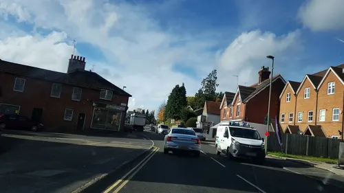
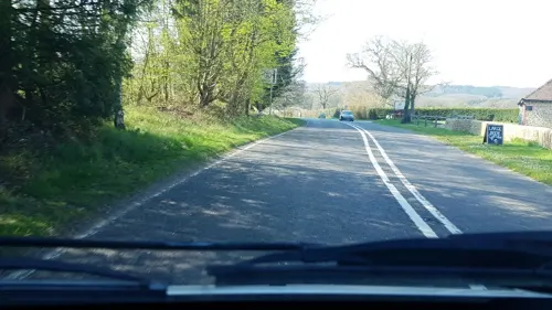
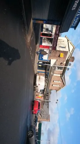
Photos of Fernhurst


Things to do12

Blackdown
Scenic view · 1.4 mi
Highest hill in Sussex. Great views over the Weald.


Green Hill
Scenic view · 1.2 mi
The small pine covered hill west of Fernhurst, dwarfed by Marley Heights to the north.
Fridays Hill
Scenic view · 0.8 mi
So called, apparently, because people from Fernhurst went over it to market in Haslemere on Fridays!
Museums and landmarks7

Cowdray House
Museum · 4.3 mi
Ruins of one of England's great houses, outside the West Sussex town of Midhurst
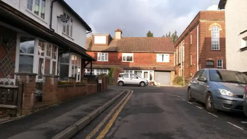
Haslemere Educational Museum
Museum · 2.9 mi
Geology, natural and human history museum, United Kingdom



Former Chapel to the former King Edward VII Hospital
Monument and historic site · 2.5 mi

Parks, trails and playgrounds6



Restaurants and cafes50
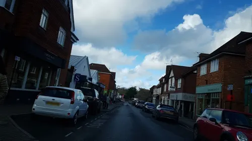
ASK Italian
Restaurant · Italian · 2.8 mi
West Street, Haslemere
Mo-Th 11:30-22:00; Fr-Sa 11:30-23:00; Su 11:30-22:00
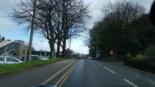
Harper's Steakhouse
Bar and pub · French · 2.7 mi
Lower Street, Haslemere
Mo-Th 07:00-23:00; Fr 07:00-00:00; Sa 08:00-00:00; Su 08:00-22:30
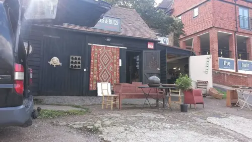
Pizzaman
Restaurant · Pizza, Burger, Kebab · 2.7 mi
12 Lower Street, Haslemere
Mo-Th 11:30-23:00, Fr-Sa 11:30-23:30, Su 11:30-23:00
Apple Tree
Bar and pub · 2.8 mi
2 Lion Green, Haslemere
Mo 15:00-22:00; Tu-Th 12:00-22:30; Fr,Sa 12:00-23:30; Su 12:00-22:00
Shahanaz
Restaurant · Indian, Curry · 2.7 mi
59-61 Wey Hill, Haslemere
Mo-Su,PH 12:00-14:30,17:30-23:00

The Cabin
Cafe · Coffee Shop · 2.8 mi
Station Approach, Haslemere
Mo-Th 05:30-15:00; Fr 05:30-19:00; Sa 08:00-18:00; Su 08:00-13:30

The Three Horseshoes
Bar and pub · 2.2 mi
Highstead Lane, Lickfold Petworth
38 more on the map.
History
The village, on the Weald, originally developed around crossroads (The Cross) and the village green, and ancient remains (Stone Age and Roman) have been found here. Iron working took place in the 17th/18th centuries and a turnpike ran through the village. The church, dedicated to St Margaret, (c. 1100) and Red Lion pub are on the green, where several old houses still remain. With the coming of the railway to Haslemere in the 19th century, and subsequent road improvements, the village expanded considerably.
In November 2006 the Fernhurst Society published a book, Voices of Fernhurst, comprising edited extracts of oral history interviews with local villagers.
From the History section of Fernhurst on Wikipedia, under CC BY-SA 4.0.
More about Fernhurst
Geography
Fernhurst lies in the valley of the River Lod whose feeder streams, known as ghyls, rise in the surrounding hills, that include Telegraph Hill at 676 feet (206 m), Marley Heights at 700 feet (210 m), Bexley Hill at 600 feet (180 m), Fridays Hill at 675 feet (206 m) and the highest hill in Sussex, Blackdown at 919 feet (280 m), which rises to the northeast. The valley soil is predominantly clay with greensand outcrops on Blackdown summit. There are dense wooded areas punctuated by miles of footpaths, the path to the summit of Blackdown commencing at the Red Lion pub.
From the Wikipedia article Fernhurst, under CC BY-SA 4.0.
Notable people from Fernhurst
- Annie Heloise AbelAmerican historian born in England
Born in Fernhurst, according to Wikidata (CC0). Each name links to its Wikipedia article.
Churches and places of worship14
Kingdom Hall of Jehovah's Witnesses
Church · Jehovahs Witness · 2.8 mi
88 Wey Hill
Shopping10
Gas and EV charging2
Schools, colleges and libraries3
Healthcare3
Map of Fernhurst
107 places. The map loads OpenStreetMap tiles when you open it.
Getting there and nearby towns
Goodwood Aerodrome (QUG) is the nearest airport with scheduled flights listed in OpenStreetMap, 13 miles away.
- Haslemere 3 mi north, about 5 min by car
- Rake 6 mi west, about 10 min by car
- Churt 7 mi north, about 11 min by car
- Wormley 7 mi northeast, about 11 min by car
- Bordon 8 mi northwest, about 12 min by car
- South Harting 9 mi southwest, about 15 min by car
- Petersfield 10 mi west, about 16 min by car
- Godalming 10 mi northeast, about 17 min by car
- Rowledge 10 mi northwest, about 17 min by car
- Farnham 12 mi north, about 19 min by car
Drive times are estimates from straight-line distance, not routes.
Towns near Fernhurst


Keep exploring
Local news
Headlines from INDB.
Reviews, tips and questions
Loading what members have shared...
Sources and licences
- GeoNames (CC BY 4.0): population, coordinates, regions and time zone
- Mapillary (see each image): photos
- OpenStreetMap contributors (ODbL 1.0): places, airports, map data
- Wikidata (CC0 1.0): elevation, founding date, time zone, website, landmarks and historic places
- Wikimedia Commons (see each image): photos
- Wikipedia (CC BY-SA 4.0): overview and history text
Photo credits
- Fernhurst Church, Charlesdrakew, Public domain
- St. Margaret's Church, Fernhurst 01, Simon Burchell, CC BY-SA 4.0
- The Red Lion, Fernhurst, Simon Burchell, CC BY-SA 4.0
- The White House, Fernhurst, Simon Burchell, CC BY-SA 4.0
- Fernhurst War Memorial 01, Simon Burchell, CC BY-SA 4.0
- Fernhurst War Memorial 03, Simon Burchell, CC BY-SA 4.0
- Fernhurst War Memorial 02, Simon Burchell, CC BY-SA 4.0
- St. Margaret's Church, Fernhurst 07, Simon Burchell, CC BY-SA 4.0
- Cowdray House ruins, Charlesdrakew at English Wikipedia, Public domain
- Cooksbridge Meadow (4), Dudley Miles, CC BY-SA 4.0
- All Saints Church, Grayswood Road, Grayswood (June 2015) (8), Hassocks5489, CC0
- Tuxlith Chapel, Milland 1, Simon Burchell, CC BY-SA 3.0
- Blackdown, The original uploader was Marknesbitt at English Wikipedia ., Public domain
- St. Peter's Church Linchmere 1, Simon Burchell, CC BY-SA 3.0
- St Christopher's Church, Farnham Lane, Haslemere (June 2015) (5), Hassocks5489, CC0
- Haslemere town hall and war memorial, SovalValtos, CC BY-SA 4.0
- St Stephen's Church, Liphook Road, Shottermill (June 2015) (1), Hassocks5489, CC0
- St. Paul's Church, Camelsdale 2, Simon Burchell, CC BY-SA 3.0
- Barn to the north of Moses Hill Farm, Marley Heights, West Sussex, Simon Burchell, CC BY-SA 4.0
- Hunslet Locomotive 638 "Jerry M" of Dinorwic at the Hollycombe Steam Collection - May 2014 - 04, Peter Trimming, CC BY 2.0
- Street-level photo, richardc, CC BY-SA 4.0
- Street-level photo, helenst, CC BY-SA 4.0
- Street-level photo, richardc, CC BY-SA 4.0
- Street-level photo, richardc, CC BY-SA 4.0
- Street-level photo, helenst, CC BY-SA 4.0
- Street-level photo, helenst, CC BY-SA 4.0
- Street-level photo, helenst, CC BY-SA 4.0
- Street-level photo, richardc, CC BY-SA 4.0
- Street-level photo, helenst, CC BY-SA 4.0
- Street-level photo, sk53, CC BY-SA 4.0
- Street-level photo, helenst, CC BY-SA 4.0
- Street-level photo, helenst, CC BY-SA 4.0
- Street-level photo, richardc, CC BY-SA 4.0
- Street-level photo, richardc, CC BY-SA 4.0
- Street-level photo, helenst, CC BY-SA 4.0
- Street-level photo, helenst, CC BY-SA 4.0
- Street-level photo, richardc, CC BY-SA 4.0
- Street-level photo, richardc, CC BY-SA 4.0
- Street-level photo, richardc, CC BY-SA 4.0
- Street-level photo, helenst, CC BY-SA 4.0
- Street-level photo, richardc, CC BY-SA 4.0
- Street-level photo, sk53, CC BY-SA 4.0
- Street-level photo, helenst, CC BY-SA 4.0
- Street-level photo, helenst, CC BY-SA 4.0
- Street-level photo, richardc, CC BY-SA 4.0
- Street-level photo, helenst, CC BY-SA 4.0
- Street-level photo, helenst, CC BY-SA 4.0
- Street-level photo, sk53, CC BY-SA 4.0
- Street-level photo, helenst, CC BY-SA 4.0
- Street-level photo, helenst, CC BY-SA 4.0


Page built November 10, 2026. Spotted a mistake? Tell us or suggest a place.