


Why visit Pool
Townapedia lists 18 museums and landmarks, 3 parks and trails, 11 places to eat, 3 places to stay and 7 attractions in and around town.
Highlights include Otley Bridge, Sighting Tower, Bramhope Tunnel and Golden Acre Park.
Weather in Pool
Forecast from MET Norway (CC BY 4.0). Full forecast
About Pool
Pool-in-Wharfedale or Pool in Wharfedale, usually abbreviated to Pool, is a village and civil parish in Lower Wharfedale, West Yorkshire, England, 10 miles (16 km) north of Leeds city centre, 11 miles (18 km) north-east of Bradford, and 2 miles (3.2 km) east of Otley. It is in the City of Leeds metropolitan borough, and within the historic boundaries of the West Riding of Yorkshire.
From the Wikipedia article Pool-in-Wharfedale (this version), under CC BY-SA 4.0.
Things to do7

Arthington Viaduct
Scenic view · 0.7 mi
Apparently private land but access allowed. No facilities.

Otley Bridge
Bridge · 3.2 mi
Road bridge in Otley, West Yorkshire, England, UK

Caley Crags
Scenic view · 1.5 mi
View across Wharfedale to Armscliff Crag from local rock feature
Museums and landmarks18

Sighting Tower
Monument and historic site · 1.5 mi
Two sighting towers were built before Bramhope Tunnel excavation began for the surveyors to keep the line true. Source: Wikipedia



Pool Bank Quarries
Monument and historic site · 1.3 mi
Former quarry now completely filled in and grassed over
6 more on the map.
Parks, trails and playgrounds3


The Knoll
Park · 1.1 mi
Waste earth pile from when the bramhope tunnel was constructed, now a small play park.

Restaurants and cafes11
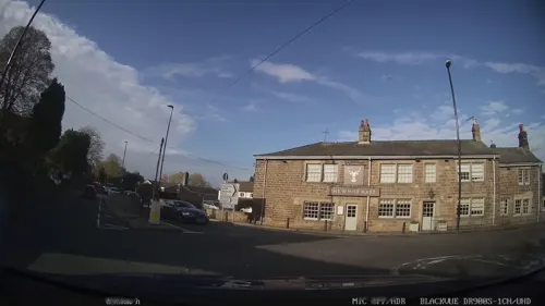
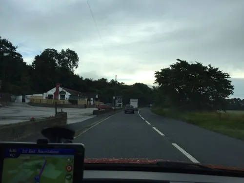




History
The name Pool derives from the Old English Pofel, a word of unknown meaning and origin, perhaps related to the Scots word poffle meaning 'a small piece of land'.
The history of Pool-in-Wharfedade is well documented, with an archive held by Pool Parish Council. It is mentioned in the Domesday Book of 1086 as Pouele in the Liberty of Otley.
In 1881 the diarist John Dickinson wrote: "The people down at Pool are chiefly poor working people who are dependent on the paper mill and stone quarry and those trades are very bad just now. But there are several gentlemen's residences occupied by retired tradesmen from Leeds."
On 5 July 2014, the Tour de France Stage 1 from Leeds to Harrogate passed through the village.
The village is represented in association football by Pool AFC who compete in the West Yorkshire Football League and play at the sports complex on Arthington Lane.
In recent years the village has rapidly increased in size with the construction of many new homes.
From the History section of Pool-in-Wharfedale on Wikipedia, under CC BY-SA 4.0.
Notable people from Pool
- Sally BighamBritish mountain biker
Born in Pool, according to Wikidata (CC0). Each name links to its Wikipedia article.
Where to stay3
Britannia Leeds Bradford Airport Hotel & Spa
Motel and hotel · 0.9 mi
Leeds Road, Leeds
Churches and places of worship12
Shopping1
Gas and EV charging2
Schools, colleges and libraries2
Pool-in-Wharfedale Church of England Voluntary Controlled Primary School
School · Anglican
Arthington Lane, Otley
Healthcare2
Map of Pool
61 places. The map loads OpenStreetMap tiles when you open it.
Getting there and nearby towns
Leeds Bradford Airport (LBA) is the nearest airport with scheduled flights listed in OpenStreetMap, 3 miles away.
- Stainburn 2 mi north, about 4 min by car
- Otley 3 mi west, about 5 min by car
- Yeadon 4 mi southwest, about 6 min by car
- Horsforth 4 mi south, about 7 min by car
- Guiseley 4 mi southwest, about 7 min by car
- Chapel Allerton 6 mi southeast, about 9 min by car
- Harrogate 7 mi northeast, about 11 min by car
- Pudsey 7 mi south, about 12 min by car
- Leeds 8 mi south, about 12 min by car
- Shipley 8 mi southwest, about 12 min by car
Drive times are estimates from straight-line distance, not routes.
Towns near Pool


Keep exploring
Local news
Headlines from INDB.
Reviews, tips and questions
Loading what members have shared...
Sources and licences
- GeoNames (CC BY 4.0): population, coordinates, regions and time zone
- Mapillary (see each image): photos
- OpenStreetMap contributors (ODbL 1.0): places, airports, map data
- Wikidata (CC0 1.0): elevation, founding date, time zone, website, landmarks and historic places
- Wikimedia Commons (see each image): photos
- Wikipedia (CC BY-SA 4.0): overview and history text
Photo credits
- Pool in Wharfedale Church, Mtaylor848, CC BY-SA 3.0
- Golden-acre-park, Mick Melvin, CC BY-SA 2.0
- The Parish Church of St Oswald, Leathley, Alexander P Kapp, CC BY-SA 2.0
- Bramhope Tunnel north portal with train, philld, CC BY-SA 2.0
- Bramhope 046, Linda Spashett Storye_book, CC BY 3.0
- Pool-in-Wharfedale Church of England Voluntary Controlled Primary School, OAnick, CC BY-SA 3.0
- War Memorial, Pool-in-Wharfedale, N Chadwick, CC BY-SA 2.0
- Arthington Viaduct, TJBlackwell, CC BY-SA 3.0
- Street-level photo, lvl5, CC BY-SA 4.0
- Street-level photo, laye, CC BY-SA 4.0
- Street-level photo, humez, CC BY-SA 4.0
- Street-level photo, mackerski, CC BY-SA 4.0
- Street-level photo, mackerski, CC BY-SA 4.0
- Street-level photo, lvl5, CC BY-SA 4.0
- Street-level photo, mapz4lolz, CC BY-SA 4.0
- Street-level photo, lvl5, CC BY-SA 4.0
- Street-level photo, mackerski, CC BY-SA 4.0
- Street-level photo, mackerski, CC BY-SA 4.0
- Street-level photo, lvl5, CC BY-SA 4.0
- Street-level photo, lvl5, CC BY-SA 4.0
- Street-level photo, lvl5, CC BY-SA 4.0
- Street-level photo, mackerski, CC BY-SA 4.0
- Street-level photo, laye, CC BY-SA 4.0
Page built November 10, 2026. Spotted a mistake? Tell us or suggest a place.