


Queensferry, United Kingdom
Queensferry is a town of 8,960 people in Scotland, United Kingdom.
Why visit Queensferry
Townapedia lists 18 museums and landmarks, 12 parks and trails, 38 places to eat, 5 places to stay and 11 attractions in and around town.
Highlights include Deep Sea World, Bridge, Halbeath Tramway, Inverkeithing, Queensferry Museum and War Memorial, Church Street, Inverkeithing.
Weather in Queensferry
Forecast from MET Norway (CC BY 4.0). Full forecast
About Queensferry
South Queensferry, also known simply as Queensferry or The Ferry, is a town to the west of Edinburgh, Scotland. Traditionally a royal burgh of West Lothian, it is now administered by the City of Edinburgh Council. It lies ten miles to the north-west of Edinburgh city centre, on the southern shore of the Firth of Forth, between the Forth Rail Bridge, the Forth Road Bridge and the Queensferry Crossing.
From the Wikipedia article South Queensferry (this version), under CC BY-SA 4.0.
Travel tips from other travellers: Queensferry on Wikivoyage (CC BY-SA 4.0).
Photos of Queensferry


Things to do11
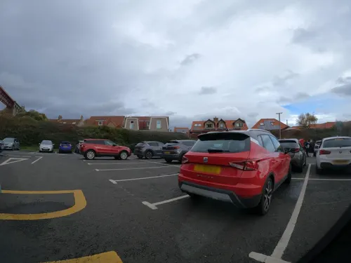
Deep Sea World
Zoo and aquarium · 1.2 mi
Aquarium in Fife, Scotland, UK
Forthside Terrace, North Queensferry
Mo-Su,PH 10:00-17:00

Bridge, Halbeath Tramway, Inverkeithing
Bridge · 3.0 mi
Bridge in Fife, Scotland, UK, carries a minor road across Keithing Burn and, previously, a tramway


Queensferry Crossing
Bridge · 1.1 mi
Road bridge across the Firth of Forth, Scotland


Museums and landmarks18
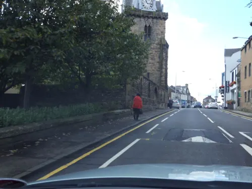
War Memorial, Church Street, Inverkeithing
Monument and historic site · 2.8 mi
War memorial in Inverkeithing, Fife, Scotland, UK
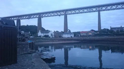



Cat Stane
Monument and historic site · 2.8 mi
Archaeological site in City of Edinburgh, Scotland, UK
6 more on the map.
Parks, trails and playgrounds12

Ballast Bank Park
Park · 2.6 mi
Park in Inverkeithing, Fife, Scotland
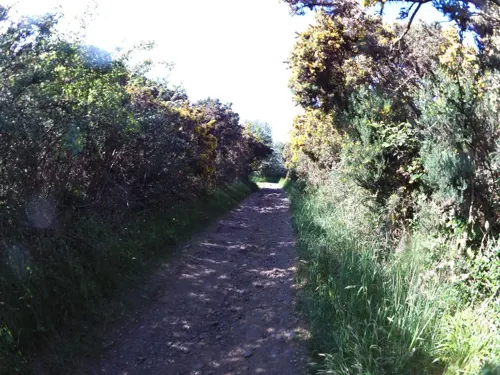
Carlingnose Point Nature Reserve
Park · 1.5 mi
Protected area in Fife, Scotland




Restaurants and cafes38
The Crab & Lobster Fish Shack
Restaurant · Fish And Chips, Crab, Lobster · 0.6 mi
7 Ferrymuir, South Queensferry
Mo-Sa 11:00-15:45,17:00-20:30; Su 11:00-15:45,17:00-20:00
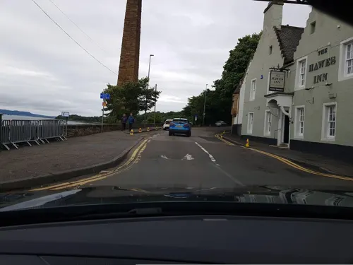
Hawes Inn
Bar and pub · 0.5 mi
7 Newhalls Road, South Queensferry
Mo-Fr 07:00-23:00; Sa 08:00-23:00; Su 08:00-22:30
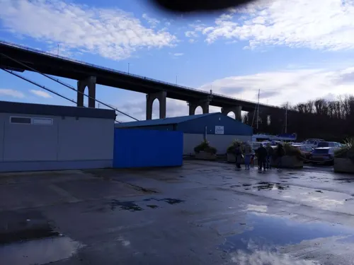
Scotts of Port Edgar
Restaurant · 0.4 mi
Shore Road, South Queensferry
Mo-Th,Su 08:30-22:00; Fr-Sa 08:30-23:00; PH open
Dalmeny Deli
Cafe · Sandwich · 0.7 mi
Station Road, South Queensferry
Mo-Fr 06:00-14:00; Sa 08:00-12:00

The Shore
Restaurant · Seafood, Steak House · 1.6 mi
St Margaret's Head, North Queensferry
Mo-Su 11:00-22:00
Chilli Waves
Restaurant · Indian
55 The Loan, South Queensferry
Su-Th 16:00-23:00, Fr,Sa 16:00-24:00

Manna House Bakery
Cafe
45-46 High Street, South Queensferry
Mo-Su 09:00-17:00
Down the Hatch
Restaurant · Burger, American, Canadian · 0.4 mi
Mo-Fr 08:30-17:00

26 more on the map.
Notable people from Queensferry
 Stephen HendryScottish snooker playerPhoto: Photograph: Benutzer:Bill da Flute..., CC BY-SA 3.0
 John Hope, 1st Marquess of LinlithgowBritish colonial governor (1860-1908)Photo: State Library of Victoria, Public domain
 John Hope, 4th Earl of HopetounBritish Army general (1765-1823)Photo: John Hoppner, Public domain
- Victor Hope, 2nd Marquess of LinlithgowBritish politician, agriculturalist and colonial administrator (1887-1952)
- Jack Stewart-ClarkBritish businessman and former Member of the European Parliament (born 1929)
- Craig PatersonScottish footballer (born 1959)
- Angus McLeanScottish footballer and manager (1925-1979)
- Catriona McPhersonBritish novelist
- David BonerFootballer (born 1941)
- Paul ApplebyBritish boxer
- Robert SymeScottish footballer
Born in Queensferry, according to Wikidata (CC0). Each name links to its Wikipedia article.
Where to stay5
Churches and places of worship10
Dalmeny Parish Church
Church · Church Of Scotland · 1.1 mi
20 Main Street, Dalmeny
Episcopal Church of St Peter, Hope Street, Inverkeithing
Church · 2.4 mi
Queensferry Parish Church
Church · Church Of Scotland
26 The Loan, South Queensferry
St Peter's Parish Church, Church Street, Inverkeithing
Church · 2.8 mi
North Queensferry Parish Church
Church · Church Of Scotland · 1.5 mi
Ferryhills Road, North Queensferry
Shopping7
Gas and EV charging2
Schools, colleges and libraries7
Healthcare2
Map of Queensferry
112 places. The map loads OpenStreetMap tiles when you open it.
Getting there and nearby towns
Edinburgh Airport (EDI) is the nearest airport with scheduled flights listed in OpenStreetMap, 3 miles away.
- North Queensferry 1 mi north, about 2 min by car
- Rosyth 4 mi northwest, about 6 min by car
- Ratho Station 4 mi south, about 6 min by car
- Newbridge 4 mi south, about 6 min by car
- Limekilns 4 mi northwest, about 7 min by car
- Broxburn 5 mi southwest, about 8 min by car
- Ratho 5 mi south, about 8 min by car
- Dunfermline 6 mi northwest, about 10 min by car
- Aberdour 6 mi northeast, about 9 min by car
- Edinburgh 8 mi east, about 13 min by car
Drive times are estimates from straight-line distance, not routes.
Towns near Queensferry


Keep exploring
Local news
Headlines from INDB.
Reviews, tips and questions
Loading what members have shared...
Sources and licences
- GeoNames (CC BY 4.0): population, coordinates, regions and time zone
- Mapillary (see each image): photos
- OpenStreetMap contributors (ODbL 1.0): places, airports, map data
- Wikidata (CC0 1.0): elevation, founding date, time zone, website, landmarks and historic places
- Wikimedia Commons (see each image): photos
- Wikipedia (CC BY-SA 4.0): overview and history text
Photo credits
- The Queensferry, from the South East engraving by William Miller after C Stanfield, William Miller, Public domain
- South Queensferry church. - panoramio - tormentor4555, tormentor4555, CC BY-SA 3.0
- 2017-08-26 09-09 Schottland 022 Queensferry, Scottish Episcopal Church (23756851178), Allie_Caulfield, CC BY 2.0
- Priory Church, South Queensferry, side, Basilicofresco, CC BY-SA 4.0
- Priory Church, South Queensferry, Anne Burgess, CC BY-SA 2.0
- South Queensferry church. - panoramio, tormentor4555, CC BY-SA 3.0
- Priory Church, South Queensferry, back, Basilicofresco, CC BY-SA 4.0
- 2017-08-26 09-09 Schottland 017 Queensferry, Forth Bridge (37577384052), Allie_Caulfield, CC BY 2.0
- South Queensferry. - panoramio, tormentor4555, CC BY-SA 3.0
- Forthrailbridgefromsouthqueensferry, George Gastin, CC BY-SA 3.0
- Queensferry Crossing view01 2017-03-16, KlausFoehl, CC BY-SA 4.0
- Section of Ballast Bank park playground, 2023, Harrybean07, CC0
- St. Peter's Kirk, Inverkeithing, Kim Traynor, CC BY-SA 3.0
- Dundas Castle South Front with Porch, ArchaicW, CC BY-SA 4.0
- North Queensferry Lighthouse, Rosser1954, CC BY-SA 3.0
- Willie's Well, Main Street, North Queensferry, Drkirstyross, CC BY-SA 4.0
- Queensferry Parish Church 02, Auldcathy, CC BY-SA 4.0
- Boreland Road bridge arches over Keithing Burn and former Halbeath Waggon Way, Harrybean07, CC0
- St Peter in Chains, Inverkeithing, Harrybean07, CC0
- Lenny Henry - panoramio, tormentor4555, CC BY-SA 3.0
- Forth road bridge 1, Grant McIntosh Photography, CC BY-SA 4.0
- 2017-08-26 09-09 Schottland 023 Queensferry, Jubilee Clock Tower (37609732471), Allie_Caulfield, CC BY 2.0
- Street-level photo, hobgoblin, CC BY-SA 4.0
- Street-level photo, southglos, CC BY-SA 4.0
- Street-level photo, hobgoblin, CC BY-SA 4.0
- Street-level photo, smsm1, CC BY-SA 4.0
- Street-level photo, southglos, CC BY-SA 4.0
- Street-level photo, hobgoblin, CC BY-SA 4.0
- Street-level photo, toho, CC BY-SA 4.0
- Street-level photo, hobgoblin, CC BY-SA 4.0
- Street-level photo, southglos, CC BY-SA 4.0
- Street-level photo, hobgoblin, CC BY-SA 4.0
- Street-level photo, chris, CC BY-SA 4.0
- Street-level photo, hobgoblin, CC BY-SA 4.0
- Street-level photo, hobgoblin, CC BY-SA 4.0
- Street-level photo, southglos, CC BY-SA 4.0
- Street-level photo, smsm1, CC BY-SA 4.0
- Street-level photo, tallguy, CC BY-SA 4.0
- Street-level photo, tallguy, CC BY-SA 4.0
- Street-level photo, smsm1, CC BY-SA 4.0
- Street-level photo, southglos, CC BY-SA 4.0
- Street-level photo, ally447, CC BY-SA 4.0
- Street-level photo, thx, CC BY-SA 4.0
- Street-level photo, southglos, CC BY-SA 4.0
- Street-level photo, toho, CC BY-SA 4.0
- Street-level photo, southglos, CC BY-SA 4.0
- Street-level photo, southglos, CC BY-SA 4.0
- Street-level photo, toho, CC BY-SA 4.0
- Street-level photo, hobgoblin, CC BY-SA 4.0
- Street-level photo, hobgoblin, CC BY-SA 4.0
- Street-level photo, hobgoblin, CC BY-SA 4.0
- Street-level photo, ccbb7766, CC BY-SA 4.0


Page built November 10, 2026. Spotted a mistake? Tell us or suggest a place.