


North Queensferry, United Kingdom
North Queensferry is a town of 1,070 people in Scotland, United Kingdom.
Why visit North Queensferry
Townapedia lists 17 museums and landmarks, 11 parks and trails, 41 places to eat, 3 places to stay and 12 attractions in and around town.
Highlights include Deep Sea World, Bridge, Halbeath Tramway, Inverkeithing, Queensferry Museum and War Memorial, Church Street, Inverkeithing.
Weather in North Queensferry
Forecast from MET Norway (CC BY 4.0). Full forecast
About North Queensferry
North Queensferry is a historic coastal village in Fife, Scotland, situated on the Firth of Forth, 9 mi (14 km) from Edinburgh city centre. Located on the North Queensferry Peninsula, it is the southernmost settlement in Fife.
From the Wikipedia article North Queensferry (this version), under CC BY-SA 4.0.
Travel tips from other travellers: North Queensferry on Wikivoyage (CC BY-SA 4.0).
Photos of North Queensferry


Things to do12
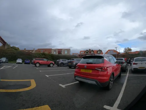
Deep Sea World
Zoo and aquarium
Aquarium in Fife, Scotland, UK
Forthside Terrace, North Queensferry
Mo-Su,PH 10:00-17:00

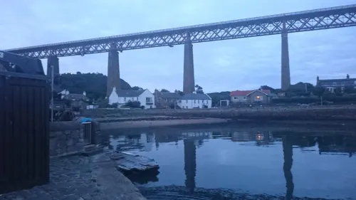
Bridge, Halbeath Tramway, Inverkeithing
Bridge · 1.7 mi
Bridge in Fife, Scotland, UK, carries a minor road across Keithing Burn and, previously, a tramway


Queensferry Crossing
Bridge · 0.9 mi
Road bridge across the Firth of Forth, Scotland


Museums and landmarks17
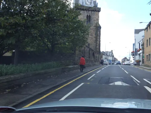
War Memorial, Church Street, Inverkeithing
Monument and historic site · 1.6 mi
War memorial in Inverkeithing, Fife, Scotland, UK



5 more on the map.
Parks, trails and playgrounds11

Ballast Bank Park
Park · 1.3 mi
Park in Inverkeithing, Fife, Scotland
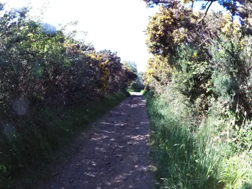
Carlingnose Point Nature Reserve
Park
Protected area in Fife, Scotland


The Vat Run
Park · 1.3 mi
A local park, with cycling possibilities, walking, nature.


Restaurants and cafes41
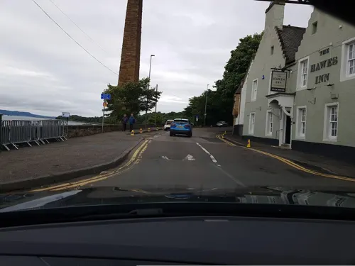
Hawes Inn
Bar and pub · 1.3 mi
7 Newhalls Road, South Queensferry
Mo-Fr 07:00-23:00; Sa 08:00-23:00; Su 08:00-22:30
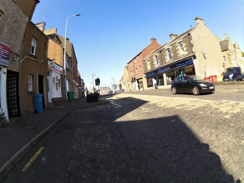
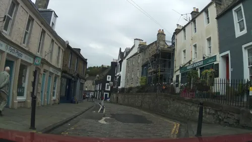
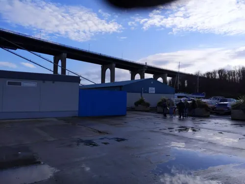
Scotts of Port Edgar
Restaurant · 1.3 mi
Shore Road, South Queensferry
Mo-Th,Su 08:30-22:00; Fr-Sa 08:30-23:00; PH open
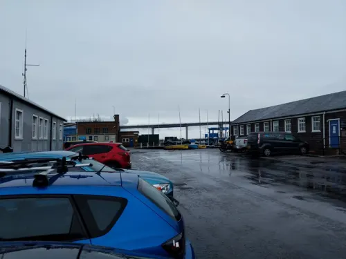
Down the Hatch
Restaurant · Burger, American, Canadian · 1.3 mi
Mo-Fr 08:30-17:00
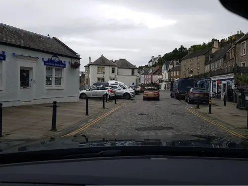
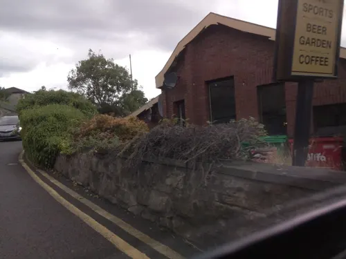
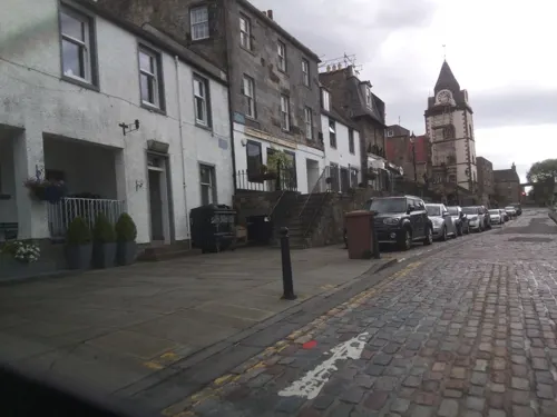

The Shore
Restaurant · Seafood, Steak House · 0.6 mi
St Margaret's Head, North Queensferry
Mo-Su 11:00-22:00
Chilli Waves
Restaurant · Indian · 1.4 mi
55 The Loan, South Queensferry
Su-Th 16:00-23:00, Fr,Sa 16:00-24:00

Manna House Bakery
Cafe · 1.3 mi
45-46 High Street, South Queensferry
Mo-Su 09:00-17:00
29 more on the map.
History
The village takes its name from Saint Margaret of Scotland, the wife of King Malcolm III of Scotland, who is said to have established the village to ensure regular ferry crossings across the Firth of Forth for the benefit of pilgrims travelling to St Andrews. Margaret is said to have made her arrival in Scotland here in 1068, and to have regularly used the ferry crossing when travelling between the then-capital Dunfermline and Edinburgh Castle. From around this time, the crossing became known as the Queen's Ferry.
Margaret died in 1093 and made her final journey by ferry to Dunfermline Abbey, where she remains buried. Her son, David I of Scotland, awarded the ferry rights to the abbey.
A settlement was likely around the present site of the village long before Margaret's time. The site of the village, on the narrowest part of the Firth of Forth, with added advantage of the island of Inchgarvie in between, suggests that it was the natural point of crossing and a vital link to the north of Scotland for centuries before the Queen's Ferry was established.
Read more of the history
North Queensferry over the centuries remained a small community, with a population of probably no more than 600, and it never achieved the status of burgh like many of the nearby settlements. Yet the numbers passing through the village daily were huge. From noblemen to commoners, from Kings to cattle, all had to use the Queen's Ferry to cross the Forth. It is recorded that Mary, Queen of Scots, used the ferry on the day she was transported to Lochleven Castle where she was imprisoned in 1567.
In 1651, during Oliver Cromwell's campaign against Scottish royalist forces, the decisive engagement known as the Battle of Inverkeithing took place on and around the isthmus between the North Queensferry peninsula and Inverkeithing and Rosyth. The battle gave Cromwell control of Fife and the Firth of Forth. Troops of the New Model Army under Major-General John Lambert crossed the Forth from Leith over several days. They landed at Cruickness, the point to the south of Inverkeithing Inner Bay, and took up position on the Ferry Hills. On 20 July as they moved north across the isthmus they were attacked by the royalist forces under David Leslie. Fighting spread as far as Pitreavie on the far side of Inverkeithing and was said to have been particularly bloody: reputedly the Pinkerton Burn ran red with blood for days and the heaps of the dead resembled stooks in a harvest field. Lambert was victorious and claimed his men had killed 2000 and taken 1,400 prisoners, although these may be exaggerations. It is believed that the destruction of the Chapel of St James by Cromwell's men took place at this time. In the 18th century, the chapel ground became a cemetery for members of the North Queensferry Sailors' Society.
The Town Pier, the main ferry terminus for many years, was designed by John Rennie and built between 1810 and 1813. The Harbour Light Tower was erected on its current site in 1817 and was designed by Robert Stevenson- a notable Lighthouse engineer. Until this point a Signal House was used by boats as an aid to navigation. Ferries berthed both at the Town Pier and at the Battery Pier (now beneath the Forth Bridge). To accommodate the deeper draughts of the new, larger steam-powered ferries, Thomas Telford extended Town Pier in 1828 to its present length. The Railway Pier, on the far side of West Bay, was the terminus of the new Dunfermline-North Queensferry Railway which opened in 1877. The Railway Pier was used as one of the northern ferry terminals from 1877 to 1890, and in 1920 it replaced the old Town Pier.
The ferry's importance diminished during the 19th century, with an alternative ferry crossing operating for a while between Burntisland and Granton. By the 1870s there was an increasing call for a bridge to be built over the Forth. The idea of a bridge across the Forth had been debated frequently in the past, but the depth of the water and the hard whinstone rock base found underneath had discouraged any attempts. Work on a suspension bridge of a different design to the current bridge was started by Thomas Bouch in 1878 but was dropped when faith in Bouch dried up after the Tay Bridge disaster. A small Lighthouse with a base is all that remains of his design. Work on the current bridge eventually began in 1883, under the supervision of Benjamin Baker and John Fowler. The construction of the bridge altered life in North Queensferry drastically. At its peak, the construction of the bridge employed over 4,000 men.
The Forth Bridge was opened on 4 March 1890, by the then Duke of Rothesay (later to become King Edward VII). North Queensferry railway station opened the same year.
In 1912, a seaplane base was opened in North Queensferry at Port Laing. This was closed in 1914 or 1917.
The ferry crossing continued, and with the coming of the motor vehicle in the 20th century, its importance was restored. By 1960, the Queen's Ferry was handling over two million passengers a year and over 600,000 motor vehicles. This number increased until another bridge was required. The last commercial ferry of the Queen's Ferry was the ship 'Robert the Bruce' and it left Hawes Pier, South Queensferry on the evening of 3 September 1964, and docked at North Queensferry shortly after. The very next day, Elizabeth II opened the new Forth Road Bridge, and 800 years' continual use of the Queen's Ferry were brought to a close.
From the History section of North Queensferry on Wikipedia, under CC BY-SA 4.0.
Where to stay3
DoubleTree by Hilton Edinburgh - Queensferry Crossing
Motel and hotel · 0.6 mi
St Margaret's Head, North Queensferry
Churches and places of worship12
Episcopal Church of St Peter, Hope Street, Inverkeithing
Church · 1.2 mi
Queensferry Parish Church
Church · Church Of Scotland · 1.4 mi
26 The Loan, South Queensferry
St Peter's Parish Church, Church Street, Inverkeithing
Church · 1.6 mi
North Queensferry Parish Church
Church · Church Of Scotland
Ferryhills Road, North Queensferry
Shopping9
Schools, colleges and libraries5
Inverkeithing Library and Heritage Centre
Library · 1.4 mi
10 Queen Street, Inverkeithing
Healthcare3
Lindsay & Gilmour Pharmacy
Clinic and pharmacy · 1.5 mi
High Street, Inverkeithing
Map of North Queensferry
113 places. The map loads OpenStreetMap tiles when you open it.
Getting there and nearby towns
Edinburgh Airport (EDI) is the nearest airport with scheduled flights listed in OpenStreetMap, 4 miles away.
- Rosyth 3 mi northwest, about 4 min by car
- Dunfermline 5 mi northwest, about 8 min by car
- Broxburn 6 mi southwest, about 10 min by car
- Townhill 6 mi north, about 9 min by car
- Ratho 6 mi south, about 10 min by car
- Cowdenbeath 7 mi north, about 12 min by car
- Edinburgh 8 mi southeast, about 14 min by car
- Livingston 9 mi southwest, about 14 min by car
- Linlithgow 9 mi west, about 14 min by car
- Bo’ness 9 mi west, about 14 min by car
Drive times are estimates from straight-line distance, not routes.
Towns near North Queensferry


Keep exploring
Local news
Headlines from INDB.
Reviews, tips and questions
Loading what members have shared...
Sources and licences
- GeoNames (CC BY 4.0): population, coordinates, regions and time zone
- Mapillary (see each image): photos
- OpenStreetMap contributors (ODbL 1.0): places, airports, map data
- Wikidata (CC0 1.0): elevation, founding date, time zone, website, landmarks and historic places
- Wikimedia Commons (see each image): photos
- Wikipedia (CC BY-SA 4.0): overview and history text
Photo credits
- Forth Bridge, North Queensferry, Kim Traynor, CC BY-SA 3.0
- North Queensferry East Bay from Forthside Terrace & East Bay, Drkirstyross, CC BY-SA 4.0
- North Queensferry, Forth Bridge Signal Box, Drkirstyross, CC BY-SA 3.0
- North Queensferry - 2004 - panoramio, StevenL, CC BY-SA 3.0
- Close up of flowering Sedum album (White Stonecrop) in North Queensferry East Bay, Drkirstyross, CC BY-SA 4.0
- North Queensferry East Bay from Forthside Terrace, Drkirstyross, CC BY-SA 4.0
- 19960606 05 North Queensferry, davidwilson1949, CC BY 2.0
- 19960606 06 North Queensferry, davidwilson1949, CC BY 2.0
- 19960606 14 North Queensferry, davidwilson1949, CC BY 2.0
- Forthrailbridgefromsouthqueensferry, George Gastin, CC BY-SA 3.0
- Queensferry Crossing view01 2017-03-16, KlausFoehl, CC BY-SA 4.0
- Section of Ballast Bank park playground, 2023, Harrybean07, CC0
- St. Bridget's Church, Dkardokas, CC BY-SA 3.0
- St. Peter's Kirk, Inverkeithing, Kim Traynor, CC BY-SA 3.0
- North Queensferry Lighthouse, Rosser1954, CC BY-SA 3.0
- Willie's Well, Main Street, North Queensferry, Drkirstyross, CC BY-SA 4.0
- Queensferry Parish Church 02, Auldcathy, CC BY-SA 4.0
- Boreland Road bridge arches over Keithing Burn and former Halbeath Waggon Way, Harrybean07, CC0
- St Peter in Chains, Inverkeithing, Harrybean07, CC0
- Firth of Forth Rail Bridge - panoramio, tormentor4555, CC BY-SA 3.0
- Firth of Forth Rail bridge tower - panoramio, tormentor4555, CC BY-SA 3.0
- Forth road bridge 1, Grant McIntosh Photography, CC BY-SA 4.0
- 2017-08-26 09-09 Schottland 023 Queensferry, Jubilee Clock Tower (37609732471), Allie_Caulfield, CC BY 2.0
- Street-level photo, hobgoblin, CC BY-SA 4.0
- Street-level photo, hobgoblin, CC BY-SA 4.0
- Street-level photo, southglos, CC BY-SA 4.0
- Street-level photo, toho, CC BY-SA 4.0
- Street-level photo, southglos, CC BY-SA 4.0
- Street-level photo, tallguy, CC BY-SA 4.0
- Street-level photo, smsm1, CC BY-SA 4.0
- Street-level photo, hobgoblin, CC BY-SA 4.0
- Street-level photo, chris, CC BY-SA 4.0
- Street-level photo, southglos, CC BY-SA 4.0
- Street-level photo, southglos, CC BY-SA 4.0
- Street-level photo, hobgoblin, CC BY-SA 4.0
- Street-level photo, smsm1, CC BY-SA 4.0
- Street-level photo, tallguy, CC BY-SA 4.0
- Street-level photo, smsm1, CC BY-SA 4.0
- Street-level photo, tallguy, CC BY-SA 4.0
- Street-level photo, thx, CC BY-SA 4.0
- Street-level photo, southglos, CC BY-SA 4.0
- Street-level photo, ccbb7766, CC BY-SA 4.0
- Street-level photo, ccbb7766, CC BY-SA 4.0
- Street-level photo, southglos, CC BY-SA 4.0
- Street-level photo, southglos, CC BY-SA 4.0
- Street-level photo, chris, CC BY-SA 4.0
- Street-level photo, southglos, CC BY-SA 4.0
- Street-level photo, southglos, CC BY-SA 4.0
- Street-level photo, toho, CC BY-SA 4.0
- Street-level photo, southglos, CC BY-SA 4.0
- Street-level photo, toho, CC BY-SA 4.0
- Street-level photo, toho, CC BY-SA 4.0
- Street-level photo, hobgoblin, CC BY-SA 4.0
- Street-level photo, southglos, CC BY-SA 4.0


Page built November 10, 2026. Spotted a mistake? Tell us or suggest a place.