
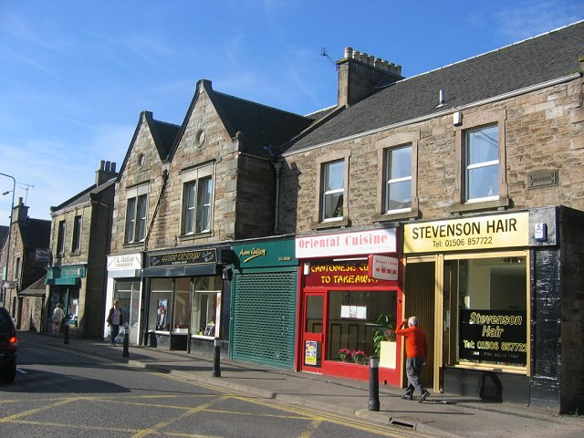


Broxburn, United Kingdom
Broxburn is a town of 15,970 people in Scotland, United Kingdom.
Why visit Broxburn
Townapedia lists 9 museums and landmarks, 6 parks and trails, 28 places to eat, 2 places to stay and 7 attractions in and around town.
Highlights include Almond Aqueduct, Almond Valley Viaduct, Broxburn Community Museum and Jupiter Artland.
Weather in Broxburn
Forecast from MET Norway (CC BY 4.0). Full forecast
About Broxburn
Broxburn (Scottish Gaelic: Srath Bhroc, pronounced [ˈs̪ɾa ˈvɾɔʰk]) is a town in West Lothian, Scotland. It is 12 miles (19 km) from the West End of Edinburgh, 5 miles (8.0 km) from Edinburgh Airport and 5 miles (8.0 km) to the north of Livingston. Originally a village known as Easter Strathbock in the medieval period, by 1600, the village had become known as Broxburn. The area developed rapidly during the Victorian era as a result of industrialisation related to shale oil extraction.
From the Wikipedia article Broxburn (this version), under CC BY-SA 4.0.
Things to do7

Almond Aqueduct
Bridge · 1.7 mi
Navigable aqueduct in West Lothian/City of Edinburgh, Scotland

Almond Valley Viaduct
Bridge · 1.9 mi
Railway viaduct near Edinburgh, Scotland

Almondell Aqueduct
Bridge · 2.3 mi
Navigable aqueduct in West Lothian, Scotland
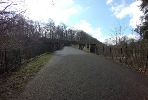
Almondell Bridge
Bridge · 2.1 mi
Road bridge in West Lothian, Scotland
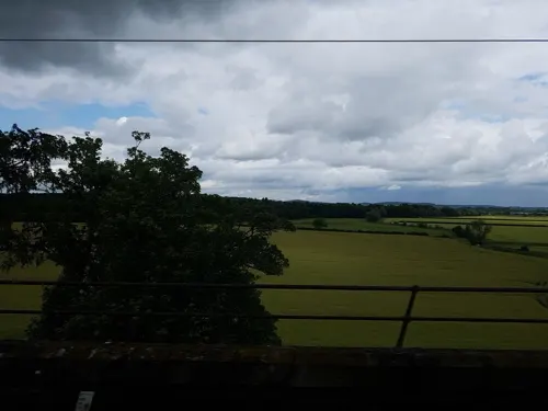
Broxburn Viaduct
Bridge · 1.5 mi
Railway viaduct near Edinburgh, Scotland

Museums and landmarks9

Parks, trails and playgrounds6

Jupiter Artland
Park · 2.7 mi
Sculpture garden and art gallery in the west of City of Edinburgh, Scotland, UK

Restaurants and cafes28
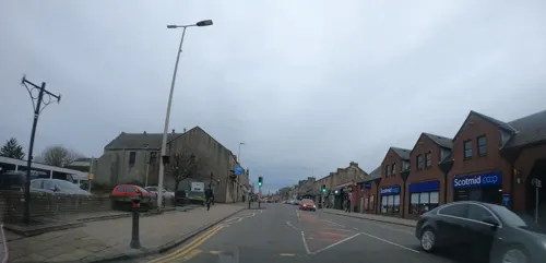
Dotty's Sandwich and Coffee Shop
Cafe
118-120 East Main Street, Broxburn
Mo-Sa 08:00-15:00
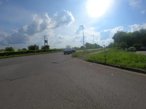
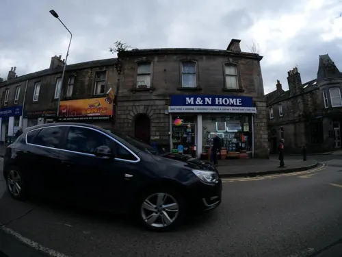
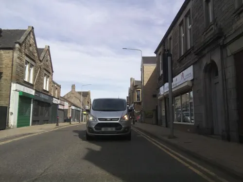
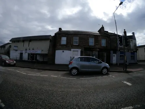
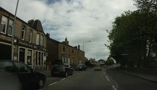
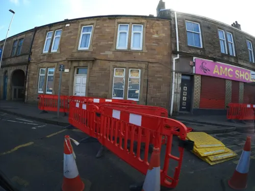
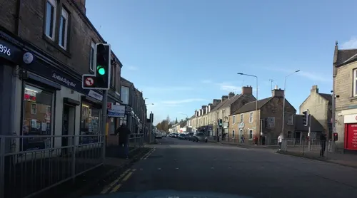
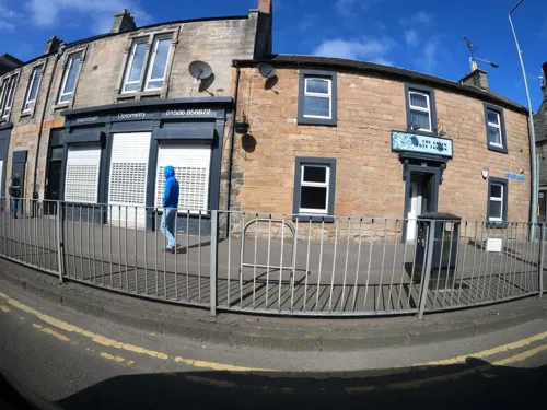


16 more on the map.
History
The village that later became Broxburn probably originated around 1350 when Margery le Cheyne inherited the eastern half of the Barony of Strathbrock (Easter Strathbrock) on the death of her father, Sir Reginald le Cheyne III. The hamlet that grew up around her residence was then called Eastertoun (eastern town) after the land on which it stood. The lands of Strathbrock were earlier owned by Freskin the Fleming, granted to him under a charter from King David I.
Easter Strathbrock was burned to the ground sometime in 1443-4 during a conflict between William, Earl of Douglas, Lieutenant-General of Scotland, and William, Lord Crichton, Chancellor of Scotland. It was destroyed again in 1455 during fighting between the Douglases and King James II. After the conflict, peace was regained and the town was gradually resettled. In 1590, Kirkhill House was built for John Laing, a local landowner. The village was renamed Broxburn in 1600 by Sir Richard Cockburn of Clerkington, Keeper of the Privy Seal of Scotland, almost certainly after Broxburn, East Lothian.
Read more of the history
In 1636, Kirkhill house was granted to Ludovic Stewart, advocate. The house and surrounding land eventually passed to David Erskine, 11th Earl of Buchan, where the house was extensive remodelled in 1770/1771. It then passed to his nephew, the 12th Earl who was buried in St John's Church nearby. The house still exists today in Broxburn and is Category B listed.
From the History section of Broxburn on Wikipedia, under CC BY-SA 4.0.
More about Broxburn
Economy
Broxburn remained an agricultural community until the development of the oil shale industry in the area during the second half of the nineteenth century. This brought in a rapid influx of workers, greatly expanding the local population. Broxburn is still known for its association with the industry, pioneered by the inventor and industrialist James Young. Many shale spoil tips, known as bings, are still in evidence around the town.
Up until its closure in 2013, Hall's of Broxburn, a food manufacturer, employed around 1,700 employees at its meat processing plant to the east of the town. At the time of closure, it was the largest, single employer in Broxburn. The large building was demolished in 2014.
The 3 Broxburn Bings (Greendikes Bing, Albion Oil Works Bing and Hopetoun Bing) reside on the north east of Broxburn starting from behind the East Mains Industrial estate. The nearby Niddry Bing resides near the village of Winchburgh. The largest of the three Bings is the Greendykes Bing which when scaled provides excellent views of the whole area. The Bings were created by large piles of spoil from the shale mines being dumped on top of each over to form the Bings.
Education
Broxburn has four schools, all state-funded, Broxburn Primary, Kirkhill Primary, St. Nicholas Roman Catholic Primary and Broxburn Academy.
From the Wikipedia article Broxburn, under CC BY-SA 4.0.
Notable people from Broxburn
 Jamie MacDonaldScottish footballer (born 1986)Photo: User:Blethering Scot, CC BY-SA 3.0
 Shelley KerrScottish footballer and football managerPhoto: hallison97photo, CC BY-SA 2.0
 Chris InnesScottish footballer (born 1976)Photo: Camw, CC BY-SA 3.0
 Chris HigginsScottish footballer (born 1985)Photo: Cthomson58, CC BY-SA 4.0
 Neil FindlayBritish politician (born 1969)Photo: Scottish Labour, CC BY-SA 2.0
 James BairdScottish footballer (born 1983)Photo: Debby Ann Ojar-Baird, CC BY-SA 3.0
- Michael Caton-JonesScottish film director
- John KerrScottish ice dancer
- Gavin HamiltonBritish cricketer (born 1974)
- Alan IrvineScottish footballer (born 1962)
- Mark Burchillfootballer, football manager (born 1980)
- Gary GlenScottish footballer
Born in Broxburn, according to Wikidata (CC0). Each name links to its Wikipedia article.
Where to stay2
Churches and places of worship5
Shopping5
Gas and EV charging1
Schools, colleges and libraries6
Healthcare5
Map of Broxburn
74 places. The map loads OpenStreetMap tiles when you open it.
Getting there and nearby towns
Edinburgh Airport (EDI) is the nearest airport with scheduled flights listed in OpenStreetMap, 4 miles away.
- Livingston 3 mi southwest, about 5 min by car
- Linlithgow 6 mi northwest, about 9 min by car
- Rosyth 7 mi north, about 12 min by car
- Whitburn 9 mi southwest, about 15 min by car
- Dunfermline 10 mi north, about 15 min by car
- Edinburgh 11 mi east, about 17 min by car
- Grangemouth 11 mi northwest, about 18 min by car
- Penicuik 12 mi southeast, about 19 min by car
- Falkirk 13 mi west, about 21 min by car
- Cowdenbeath 13 mi north, about 21 min by car
Drive times are estimates from straight-line distance, not routes.
Towns near Broxburn


Keep exploring
Local news
Headlines from INDB.
Reviews, tips and questions
Loading what members have shared...
Sources and licences
- GeoNames (CC BY 4.0): population, coordinates, regions and time zone
- Mapillary (see each image): photos
- OpenStreetMap contributors (ODbL 1.0): places, airports, map data
- Wikidata (CC0 1.0): elevation, founding date, time zone, website, landmarks and historic places
- Wikimedia Commons (see each image): photos
- Wikipedia (CC BY-SA 4.0): overview and history text
Photo credits
- Greendykes Road, Broxburn, Richard Webb, CC BY-SA 2.0
- Pend-in-east-main-street-broxburn-scotland-28-04-2020, User:DanShearer, CC BY-SA 4.0
- Union icicle, Citizenthom, CC BY-SA 3.0
- RathoViaduct06, Renata ( talk ), Public domain
- Love Bomb, Marc Quinn, subberculture, CC BY-SA 2.0
- Mid Calder Parish Church, Basilicofresco, CC BY-SA 4.0
- Ss John Cantius and Nicholas RC Church, Broxburn 02, Auldcathy, CC BY-SA 4.0
- Almondell aqueduct from Camps viaduct, Kognos, CC BY-SA 4.0
- Street-level photo, southglos, CC BY-SA 4.0
- Street-level photo, hobgoblin, CC BY-SA 4.0
- Street-level photo, pbb, CC BY-SA 4.0
- Street-level photo, hobgoblin, CC BY-SA 4.0
- Street-level photo, hobgoblin, CC BY-SA 4.0
- Street-level photo, hobgoblin, CC BY-SA 4.0
- Street-level photo, hobgoblin, CC BY-SA 4.0
- Street-level photo, hobgoblin, CC BY-SA 4.0
- Street-level photo, hobgoblin, CC BY-SA 4.0
- Street-level photo, hobgoblin, CC BY-SA 4.0
- Street-level photo, hobgoblin, CC BY-SA 4.0
- Street-level photo, hobgoblin, CC BY-SA 4.0
- Street-level photo, hobgoblin, CC BY-SA 4.0
- Street-level photo, hobgoblin, CC BY-SA 4.0
- Street-level photo, hobgoblin, CC BY-SA 4.0
- Street-level photo, hobgoblin, CC BY-SA 4.0
- Street-level photo, hobgoblin, CC BY-SA 4.0
- Street-level photo, hobgoblin, CC BY-SA 4.0
- Street-level photo, southglos, CC BY-SA 4.0
- Street-level photo, hobgoblin, CC BY-SA 4.0
- Street-level photo, hobgoblin, CC BY-SA 4.0
- Street-level photo, hobgoblin, CC BY-SA 4.0
- Street-level photo, hobgoblin, CC BY-SA 4.0
- Street-level photo, hobgoblin, CC BY-SA 4.0
- Street-level photo, hobgoblin, CC BY-SA 4.0
- Street-level photo, hobgoblin, CC BY-SA 4.0
- Street-level photo, fluffyduck, CC BY-SA 4.0
- Street-level photo, hobgoblin, CC BY-SA 4.0

Page built November 10, 2026. Spotted a mistake? Tell us or suggest a place.