


Why visit Ratho
Townapedia lists 7 museums and landmarks, 10 parks and trails, 9 places to eat, 4 places to stay and 7 attractions in and around town.
Highlights include Almond Aqueduct, Almond Valley Viaduct, Hatton House and Standing Stone.
Weather in Ratho
Forecast from MET Norway (CC BY 4.0). Full forecast
About Ratho
Ratho (Scottish Gaelic: Ràthach) is a village in the rural west part of the City of Edinburgh council area, Scotland. Its population at the 2011 census was 1,634 based on the 2010 definition of the locality. It was formerly in the old county of Midlothian. Ratho Station, Newbridge and Kirkliston are other villages in the area.
From the Wikipedia article Ratho (this version), under CC BY-SA 4.0.
Photos of Ratho


Things to do7

Almond Aqueduct
Bridge · 2.1 mi
Navigable aqueduct in West Lothian/City of Edinburgh, Scotland

Almond Valley Viaduct
Bridge · 1.9 mi
Railway viaduct near Edinburgh, Scotland
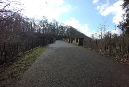
Almondell Bridge
Bridge · 3.3 mi
Road bridge in West Lothian, Scotland
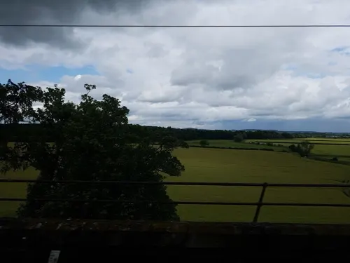
Broxburn Viaduct
Bridge · 2.3 mi
Railway viaduct near Edinburgh, Scotland

Scott Russell Aqueduct
Bridge · 2.8 mi
Bridge in Edinburgh, Scotland, UK, carries the Union Canal across the A720 road
Museums and landmarks7


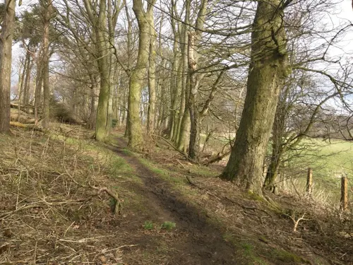

Cat Stane
Monument and historic site · 2.4 mi
Archaeological site in City of Edinburgh, Scotland, UK
Parks, trails and playgrounds10

Edinburgh Park
Park · 2.6 mi
Business park in City of Edinburgh, Scotland, UK

Jupiter Artland
Park · 1.9 mi
Sculpture garden and art gallery in the west of City of Edinburgh, Scotland, UK



Restaurants and cafes9

No 77
Cafe
77 Main Street, Ratho
Mo-Tu 08:30-16:00; Th-Fr 08:30-16:00; Sa 09:00-14:00




Notable people from Ratho
 William Grant StevensonScottish sculptor and portrait painter (1849-1919)Photo: Axis12002 at English Wikipedia, Public domain
- Harry FerrierScottish footballer (1920-2002)
- James BryceScottish footballer
Born in Ratho, according to Wikidata (CC0). Each name links to its Wikipedia article.
Where to stay4
Holiday Inn Express Edinburgh Airport
Motel and hotel · 1.5 mi
101 Ingliston Road, Edinburgh
Churches and places of worship2
Gas and EV charging4
Schools, colleges and libraries4
Healthcare1
Map of Ratho
48 places. The map loads OpenStreetMap tiles when you open it.
Getting there and nearby towns
Edinburgh Airport (EDI) is the nearest airport with scheduled flights listed in OpenStreetMap, 2 miles away.
- Broxburn 4 mi west, about 6 min by car
- Livingston 6 mi west, about 9 min by car
- Edinburgh 7 mi east, about 12 min by car
- Rosyth 8 mi north, about 13 min by car
- Penicuik 9 mi southeast, about 14 min by car
- Linlithgow 9 mi northwest, about 15 min by car
- Bathgate 10 mi west, about 17 min by car
- Dunfermline 11 mi north, about 17 min by car
- Bonnyrigg 11 mi east, about 18 min by car
- Bo’ness 11 mi northwest, about 18 min by car
Drive times are estimates from straight-line distance, not routes.
Towns near Ratho


Keep exploring
Local news
Headlines from INDB.
Reviews, tips and questions
Loading what members have shared...
Sources and licences
- GeoNames (CC BY 4.0): population, coordinates, regions and time zone
- Mapillary (see each image): photos
- OpenStreetMap contributors (ODbL 1.0): places, airports, map data
- Wikidata (CC0 1.0): elevation, founding date, time zone, website, landmarks and historic places
- Wikimedia Commons (see each image): photos
- Wikipedia (CC BY-SA 4.0): overview and history text
Photo credits
- Ratho kirk, Kitkatcrazy, CC BY-SA 3.0
- Bridge Inn, 27 Baird Road, Ratho, Union Canal 02, Victuallers, CC BY-SA 4.0
- Ratho, 60 Main Street, Victuallers, CC BY-SA 4.0
- Ratho, 62, 64 Main Street 01, Victuallers, CC BY-SA 4.0
- Ratho, 62, 64 Main Street 02, Victuallers, CC BY-SA 4.0
- 54 Main Street, Ratho, Victuallers, CC BY-SA 4.0
- Bridge Inn, 27 Baird Road, Ratho, Union Canal 01, Victuallers, CC BY-SA 4.0
- Edinburgh, Ratho, 12 Baird Road, Victuallers, CC BY-SA 4.0
- Union icicle, Citizenthom, CC BY-SA 3.0
- RathoViaduct06, Renata ( talk ), Public domain
- Scott Russell Aqueduct2, Renata ( talk ), Public domain
- BT Edinburgh Park, No machine-readable author provided. Maccoinnich~commonswiki assumed (based on copyright claims)., CC BY-SA 3.0
- Love Bomb, Marc Quinn, subberculture, CC BY-SA 2.0
- Image from page 293 of "The castellated and domestic architecture of Scotland, from the twelfth to the eighteenth century" (1887) (14782842164), Internet Archive Book Images, No restrictions
- City of Edinburgh - Easter Norton,standing stone 280m WSW of - 20220904114626, Krasnay, CC BY-SA 4.0
- Street-level photo, lucagm, CC BY-SA 4.0
- Street-level photo, pbb, CC BY-SA 4.0
- Street-level photo, hobgoblin, CC BY-SA 4.0
- Street-level photo, hobgoblin, CC BY-SA 4.0
- Street-level photo, fluffyduck, CC BY-SA 4.0
- Street-level photo, gmc, CC BY-SA 4.0
- Street-level photo, lucagm, CC BY-SA 4.0
- Street-level photo, chris, CC BY-SA 4.0
- Street-level photo, hobgoblin, CC BY-SA 4.0
- Street-level photo, hobgoblin, CC BY-SA 4.0
- Street-level photo, c0d0, CC BY-SA 4.0
- Street-level photo, c0d0, CC BY-SA 4.0
- Street-level photo, ccbb7766, CC BY-SA 4.0
- Street-level photo, chris, CC BY-SA 4.0
Page built November 10, 2026. Spotted a mistake? Tell us or suggest a place.