

Why visit Sherston
Townapedia lists 2 museums and landmarks, 3 places to eat and 1 attraction in and around town.
Weather in Sherston
Forecast from MET Norway (CC BY 4.0). Full forecast
About Sherston
Sherston is a village and civil parish about 5 miles (8 km) west of Malmesbury in Wiltshire, England. The parish is bounded to the north by the county boundary with Gloucestershire, and to the southeast by the Fosse Way, a Roman road. The parish includes the hamlets of Easton Town, immediately east of Sherston; Pinkney, further east along the Malmesbury road; and Willesley, to the north.
From the Wikipedia article Sherston, Wiltshire (this version), under CC BY-SA 4.0.
Things to do1
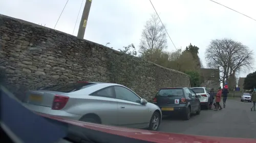
Museums and landmarks2

Restaurants and cafes3
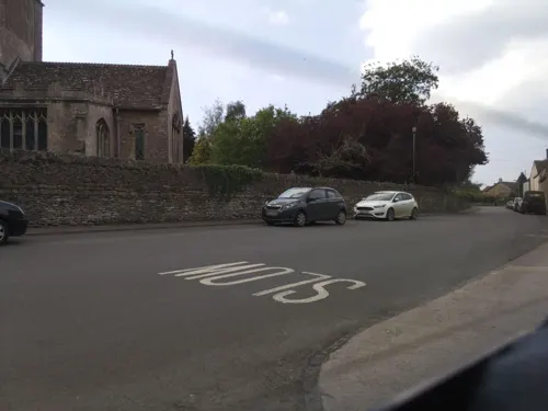


Churches and places of worship7
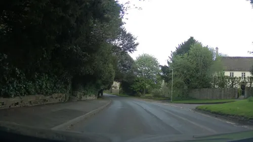
Church of St Lawrence
Church · 2.1 mi
Grade I listed church, Cotswold, United Kingdom
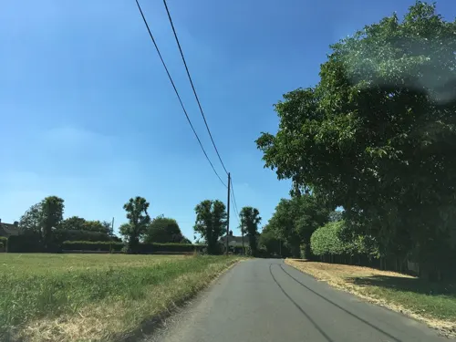
Parish Church
Church · 2.7 mi
Grade I listed church building in Foxley, Wiltshire, England, UK


St Arild's Church, Oldbury-on-the-Hill
Church · 2.6 mi
Church in Cotswold, UK
History
The Fosse Way, a major Roman road, passes nearby and forms the southeastern boundary of the modern parish. A Romano-British farmhouse from around 350 was discovered at Vancelettes Farm, north of Sherston village. The earliest surviving record of Sherston, then called Scorranstone, is an Anglo-Saxon document of 896.
In 1016, a battle between Cnut the Great and a West Saxon army led by King Edmund Ironside on the hills around Sherston may have involved a local hero known as Rattlebone; his name is celebrated in a local pub, The Rattlebone Inn. The parish church was built or rebuilt in the 12th century, and at some point a borough was laid out south of the church, with a broad market place where a weekly market was held from 1241 or earlier.
In 1511 a fire destroyed most of the buildings. Later in that century Sherston had two inns, the Swan and the Angel; there was much rebuilding in the 17th century. Industry came to the village in 1872 when a silk mill was opened by Joseph Davenport and Sons, weaving silks and ribbons, and later cotton; the mill closed in 1922. For a while after the Second World War, the Plant Engineering Co of Birmingham had a factory in the former silk mill.
Most of Sherston village was designated as a Conservation Area in 1973.
Sherston Software, makers of educational games, was established in 1984 and continued in business in the village until 2015.
Read more of the history
Pinkney was also called Sherston Parva, meaning Little Sherston. The Ordnance Survey map from the 1890s has "Great Sherston" and "Sherston Parva or Pinkney"; by 1951 Great Sherston had become Sherston but both names were still shown for the smaller place.
The Estcourt family of Pinkney were influential at Malmesbury in the 17th century, for a time holding the post of high steward of the borough. Notable members included Sir Thomas Estcourt (died 1683), and his son Sir Thomas Estcourt (died 1702). The latter's son, also Thomas, died in 1704 and the estate passed to his sister Elizabeth, who in 1709 married Richard Creswell (1688–1743), from a family of Shropshire landowners: she brought to the marriage the manors of Sherston, Malmesbury and Norton. Their son Thomas Estcourt Cresswell (1712–1788), seated at Pinkney Park, was returned to parliament for Wootton Bassett; there is a monument to him in the parish church.
From the History section of Sherston, Wiltshire on Wikipedia, under CC BY-SA 4.0.
Notable people from Sherston
- Anthony MillsEnglish cricketer (1920-1997)
Born in Sherston, according to Wikidata (CC0). Each name links to its Wikipedia article.
Shopping1
Gas and EV charging1
Schools, colleges and libraries1
Map of Sherston
16 places. The map loads OpenStreetMap tiles when you open it.
Getting there and nearby towns
Cotswold Airport (GBA) is the nearest airport with scheduled flights listed in OpenStreetMap, 9 miles away.
- Sutton Benger 7 mi southeast, about 12 min by car
- Avening 8 mi north, about 12 min by car
- Wickwar 8 mi west, about 13 min by car
- Chippenham 9 mi southeast, about 14 min by car
- Yate 9 mi west, about 15 min by car
- Corsham 10 mi south, about 15 min by car
- Dursley 10 mi northwest, about 16 min by car
- Stroud 12 mi north, about 20 min by car
- Calne 13 mi southeast, about 21 min by car
- Mangotsfield 14 mi southwest, about 22 min by car
Drive times are estimates from straight-line distance, not routes.
Towns near Sherston


Keep exploring
Local news
Headlines from INDB.
Reviews, tips and questions
Loading what members have shared...
Sources and licences
- GeoNames (CC BY 4.0): population, coordinates, regions and time zone
- Mapillary (see each image): photos
- OpenStreetMap contributors (ODbL 1.0): places, airports, map data
- Wikidata (CC0 1.0): elevation, founding date, time zone, website, landmarks and historic places
- Wikimedia Commons (see each image): photos
- Wikipedia (CC BY-SA 4.0): overview and history text
Photo credits
- Sherston.wiltshire.arp, Unknown author, Public domain
- Street-level photo, southglos, CC BY-SA 4.0
- Street-level photo, southglos, CC BY-SA 4.0
- Street-level photo, southglos, CC BY-SA 4.0
- Street-level photo, southglos, CC BY-SA 4.0
- Street-level photo, southglos, CC BY-SA 4.0
- Street-level photo, southglos, CC BY-SA 4.0
Page built November 10, 2026. Spotted a mistake? Tell us or suggest a place.