


Why visit Wickwar
Townapedia lists 3 museums and landmarks, 3 parks and trails, 2 places to eat and 1 place to stay in and around town.
Highlights include Monument to Lord Robert Edward Somerset, Wickwar War Memorial and Nind Nature Reserve.
Weather in Wickwar
Forecast from MET Norway (CC BY 4.0). Full forecast
About Wickwar
Wickwar is a village and civil parish in Gloucestershire, England, located between Yate and Charfield. At the 2021 census, the parish had a population of 2,083.
From the Wikipedia article Wickwar (this version), under CC BY-SA 4.0.
Museums and landmarks3
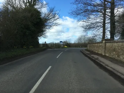
Monument to Lord Robert Edward Somerset
Monument and historic site · 3.0 mi
Monument in Hawkesbury Upton, Gloucestershire, England, UK

Parks, trails and playgrounds3

Nind Nature Reserve
Park · 2.7 mi
Nature reserve in Gloucestershire, England, UK


Restaurants and cafes2

Where to stay1
History
Wickwar was mentioned in the Domesday Book of 1086, where it appears as "Wichen", from the Old English (aet) wicum, meaning "(at) the dwellings". The manor was given to John la Warre by King John and was held by Roger la Warre in 1285, when it was referred to as "Warre Wyke". Warre is a Norman family name which gave its name to Wickwar.
The village lay on the Old Saltway from Droitwich to Old Sodbury and Pucklechurch, and was developed in the 13th century by the de la Warre family with the establishment of a market in 1285. The main street, the present High Street, was laid out around the market place with uniform burgage plots and rear access lanes. Burghers paid an annual fixed rent to the overlord and they carried on trades and crafts which, together with their property rights, distinguished them from the feudal peasant. Livestock were often kept on the burgage plots behind the house, and this necessitated the rear access lane.
The original settlement of Wickwar was located around the church and Poole Court, a 16th-century Manor House demolished in the 19th century, to the north of the village. All that remains of the Manor is its terraced garden, south-west of the church.
Read more of the history
The parish church of the Holy Trinity is set on a small hill and is of 12th-century origin. At the northern edge of the village, it is reached by a raised footpath called the Stank, meaning "dam" – there were fish ponds here until the 19th century. It was extensively remodelled in the 14th and 15th centuries and was restored c.1881 by W L Bernard. Inside there is a sculpture of St John the Baptist dated 1496, which was originally housed at Poole Court. It is a Grade II* listed building.
To the north of the church, within the churchyard is the Sunday School, built in 1837 in a Gothic Revival style. The churchyard also has a number of chest tombs, which represent a collection of local and classical tomb forms.
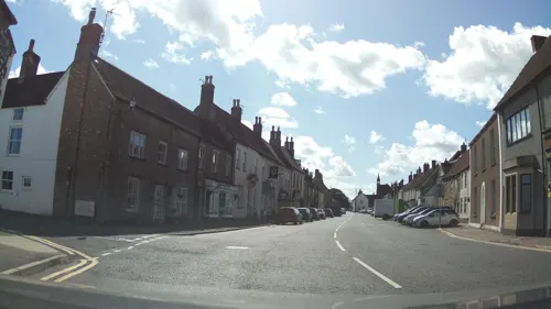
The High Street has a collection of mostly 18th-century fronted, rendered or stuccoed houses, including Albert House and the Police station. The Town Hall c.1795 has arched openings and a bellcote with pinnacle. The Town Hall clock mechanism is thought to date from 1660.
The village is on the main Bristol–Birmingham railway line, and once had a station, but this was closed in January 1965. The village also used to have a shop and brewery which also closed in 2018 and 2020 respectively, leaving the village without any shops. There is also Wickwar Social Club, which is open to members only.
In April 2020, after hostility from the local area, a new home development in the village was targeted in a suspected arson attack, severely damaging a partially completed property.
Spherules are found lying unconformably over Carboniferous limestone in Wickwar Quarry. These are possibly tektite deposits, formed as molten material ejected by a meteorite impact that may have fallen back to Earth.
From the History section of Wickwar on Wikipedia, under CC BY-SA 4.0.
Notable people from Wickwar
 Jane HaltonAustralian public servantPhoto: WHO/Peter Williams, Attribution
- Mary Everest Booleauthor of didactic works on mathematics (1832-1916)
Born in Wickwar, according to Wikidata (CC0). Each name links to its Wikipedia article.
Churches and places of worship5
Schools, colleges and libraries1
Map of Wickwar
15 places. The map loads OpenStreetMap tiles when you open it.
Getting there and nearby towns
Cotswold Airport (GBA) is the nearest airport with scheduled flights listed in OpenStreetMap, 16 miles away.
- Yate 4 mi south, about 6 min by car
- Thornbury 5 mi west, about 8 min by car
- Dursley 6 mi north, about 10 min by car
- Stoke Gifford 8 mi southwest, about 13 min by car
- Mangotsfield 9 mi southwest, about 14 min by car
- Warmley 10 mi south, about 16 min by car
- Kingswood 11 mi southwest, about 17 min by car
- Chepstow 12 mi west, about 20 min by car
- Bristol 13 mi southwest, about 21 min by car
- Stroud 14 mi northeast, about 22 min by car
Drive times are estimates from straight-line distance, not routes.
Towns near Wickwar


Keep exploring
Local news
Headlines from INDB.
Reviews, tips and questions
Loading what members have shared...
Sources and licences
- GeoNames (CC BY 4.0): population, coordinates, regions and time zone
- Mapillary (see each image): photos
- OpenStreetMap contributors (ODbL 1.0): places, airports, map data
- Wikidata (CC0 1.0): elevation, founding date, time zone, website, landmarks and historic places
- Wikimedia Commons (see each image): photos
- Wikipedia (CC BY-SA 4.0): overview and history text
Photo credits
- Telephone Kiosk K8 in Wickwar, South Gloucestershire, kitmasterbloke, CC BY 2.0
- Telephone Kiosk K8 in Wickwar, South Gloucestershire (19328249433), Steve Knight from Halstead, United Kingdom, CC BY 2.0
- Telephone Kiosk K8 in Wickwar, South Gloucestershire (19941634872), Steve Knight from Halstead, United Kingdom, CC BY 2.0
- Wickwar K8 Telephone Kiosk, kitmasterbloke, CC BY 2.0
- Arvicola-terrestris, Peter Trimming, CC BY 2.0
- Street-level photo, southglos, CC BY-SA 4.0
- Street-level photo, southglos, CC BY-SA 4.0
- Street-level photo, southglos, CC BY-SA 4.0
- Street-level photo, southglos, CC BY-SA 4.0
- Street-level photo, southglos, CC BY-SA 4.0
Page built November 10, 2026. Spotted a mistake? Tell us or suggest a place.