


Why visit Shirland
Townapedia lists 3 museums and landmarks, 5 parks and trails, 14 places to eat and 2 places to stay in and around town.
Highlights include Danesmoor War Memorial and War Memorial and Railings.
Weather in Shirland
Forecast from MET Norway (CC BY 4.0). Full forecast
About Shirland
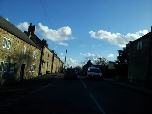
Shirland is a former pit village in Derbyshire, England. Together with the neighbouring villages of Higham, Stretton and Stonebroom, it forms part of the civil parish of Shirland and Higham, which had a population of 4,802 at the 2011 Census. The River Amber flows through the parish.
From the Wikipedia article Shirland (this version), under CC BY-SA 4.0.
Museums and landmarks3

Danesmoor War Memorial
Monument and historic site · 3.0 mi
Grade II listed war memorial in Clay Cross, North East Derbyshire, England, UK

War Memorial and Railings
Monument and historic site · 1.8 mi
War memorial in Alfreton, Amber Valley, Derbyshire, England, UK

Carnfield Hall
Museum · 2.2 mi
Country house in Derbyshire, England, UK
Parks, trails and playgrounds5



Restaurants and cafes14

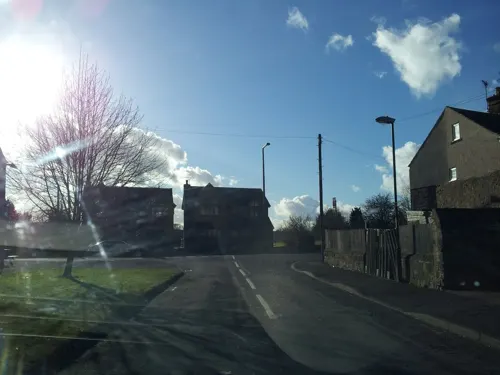
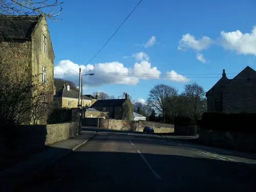
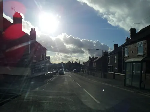

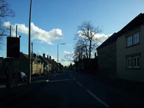
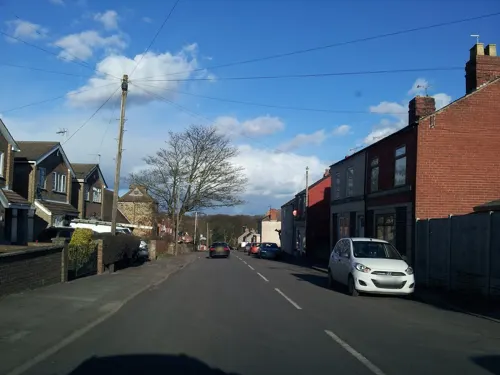
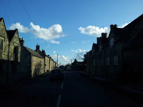

2 more on the map.
Where to stay2

History
Shirland is mentioned in the Domesday Book as Sirelunt in the hundred of Scarsdale. According to this ancient document the manor was given to William Peverel after the Norman Conquest. Peveral inherited many manors around Derbyshire and Nottinghamshire including Nottingham Castle.
The village is built around St. Leonard's Church. The foundations of the church date to 1220, according to the inscriptions within the church. The church grounds contain many monuments to the De Grey family, who inherited the manor in the early 13th century. The church also contains memorials to the Revill family who were well-known Derbyshire landowners in the 15th century.
Gables Farm (now demolished) at Higham in Shirland Parish was built in 1696 by Thomas and Anne Clay on a 64-acre plot.
In 1868, the inhabitants were mostly involved with agriculture but a proportion were involved with framework knitting. However, in 1864 a mine was founded, which by the end of the century employed 500 men. The community together with Higham increased from a population of 2,437 in 1871 to 3,415 in 1881. The mines shaped the community until 1965 when the mine closed. A golf course is now built on the former slag heaps.
A new primary school was opened in September 2011, next to St. Leonards Church.
From the History section of Shirland on Wikipedia, under CC BY-SA 4.0.
Notable people from Shirland
- Niamh EmersonBritish heptathlete
- Frank MycroftEnglish cricketer (1873-1900)
Born in Shirland, according to Wikidata (CC0). Each name links to its Wikipedia article.
Churches and places of worship11
Gas and EV charging1
Schools, colleges and libraries5
Healthcare1
Map of Shirland
42 places. The map loads OpenStreetMap tiles when you open it.
Getting there and nearby towns
Nottingham City Airport (NQT) is the nearest airport with scheduled flights listed in OpenStreetMap, 19 miles away.
- Alfreton 2 mi southeast, about 3 min by car
- South Wingfield 2 mi southwest, about 4 min by car
- Pinxton 4 mi southeast, about 7 min by car
- Tansley 5 mi west, about 8 min by car
- Sutton in Ashfield 6 mi east, about 10 min by car
- Ripley 6 mi south, about 10 min by car
- Matlock 6 mi west, about 10 min by car
- Kirkby in Ashfield 7 mi east, about 11 min by car
- Belper 7 mi southwest, about 12 min by car
- Cromford 7 mi west, about 10 min by car
Drive times are estimates from straight-line distance, not routes.
Towns near Shirland


Keep exploring
Local news
Headlines from INDB.
Reviews, tips and questions
Loading what members have shared...
Sources and licences
- GeoNames (CC BY 4.0): population, coordinates, regions and time zone
- Mapillary (see each image): photos
- OpenStreetMap contributors (ODbL 1.0): places, airports, map data
- Wikidata (CC0 1.0): elevation, founding date, time zone, website, landmarks and historic places
- Wikimedia Commons (see each image): photos
- Wikipedia (CC BY-SA 4.0): overview and history text
Photo credits
- War memorial, Danesmoor, Phil Sangwell from United Kingdom, CC BY 2.0
- Alfreton war memorial, Kmtextor, CC BY-SA 4.0
- All Saints, South Wingfield 2, Poliphilo, CC0
- Claycross Church, Phil Sangwell from United Kingdom, CC BY 2.0
- Crown Inn, Higham, Dave Bevis, CC BY-SA 2.0
- Morton - The Corner Pin, Dave Bevis, CC BY-SA 2.0
- Street-level photo, adam2, CC BY-SA 4.0
- Street-level photo, adam2, CC BY-SA 4.0
- Street-level photo, adam2, CC BY-SA 4.0
- Street-level photo, adam2, CC BY-SA 4.0
- Street-level photo, adam2, CC BY-SA 4.0
- Street-level photo, adam2, CC BY-SA 4.0
- Street-level photo, adam2, CC BY-SA 4.0
- Street-level photo, adam2, CC BY-SA 4.0
- Street-level photo, adam2, CC BY-SA 4.0
- Street-level photo, adam2, CC BY-SA 4.0
- Street-level photo, adam2, CC BY-SA 4.0
- Street-level photo, adam2, CC BY-SA 4.0
- Street-level photo, adam2, CC BY-SA 4.0
- Street-level photo, adam2, CC BY-SA 4.0
- Street-level photo, lvl5, CC BY-SA 4.0
- Street-level photo, adam2, CC BY-SA 4.0
- Street-level photo, adam2, CC BY-SA 4.0
Page built November 10, 2026. Spotted a mistake? Tell us or suggest a place.