
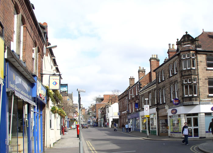


Why visit Belper
Townapedia lists 12 museums and landmarks, 11 parks and trails, 79 places to eat, 4 places to stay and 4 attractions in and around town.
Highlights include The Ritz, Derwent Valley Mills, Strutt's North Mill and Belper River Gardens.
Weather in Belper
Forecast from MET Norway (CC BY 4.0). Full forecast
About Belper
Belper () is a town and civil parish in the Amber Valley district of Derbyshire, England, located about 7 miles (11 km) north of Derby on the River Derwent. Along with Belper, the parish includes the village of Milford and the hamlets of Bargate, Blackbrook, and Makeney.
From the Wikipedia article Belper (this version), under CC BY-SA 4.0.
Travel tips from other travellers: Belper on Wikivoyage (CC BY-SA 4.0).
Photos of Belper


Things to do4

Museums and landmarks12


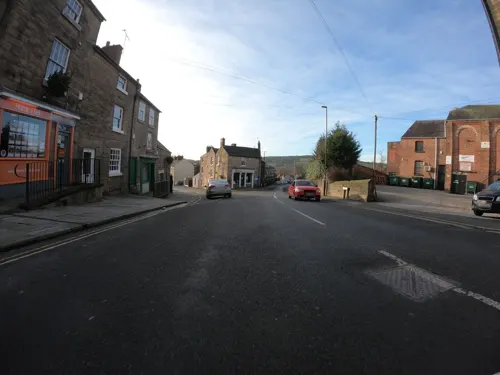
Strutt's North Mill
Museum · 0.4 mi
Cotton mill and museum in Belper, Derbyshire, England, United Kingdom
Bridge Foot, Belper

Duffield Castle
Monument and historic site · 2.2 mi
Norman castle in Duffield, Derbyshire, England
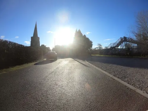
Duffield War Memorial
Monument and historic site · 2.9 mi
War memorial in Duffield, Derbyshire, England, UK



Parks, trails and playgrounds11
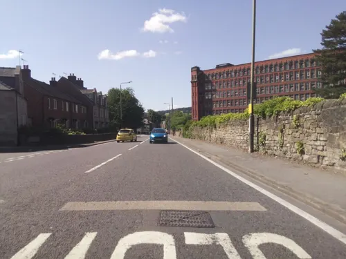
Belper River Gardens
Park · 0.5 mi
Park in Belper, Derbyshire, England
Matlock Road, Belper


Wyver Lane Nature Reserve
Park · 1.6 mi
Nature reserve in Derbyshire, England, UK


Restaurants and cafes79
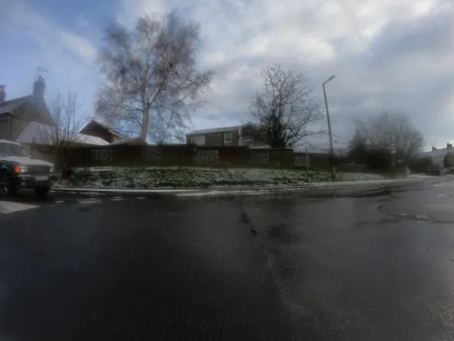
White Hart
Bar and pub · 1.1 mi
Sandbed Lane, Belper
Tu-Th 16:00-22:30; Fr 15:00-23:00; Sa 14:00-23:00; Su 14:00-22:30
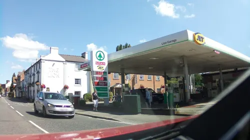
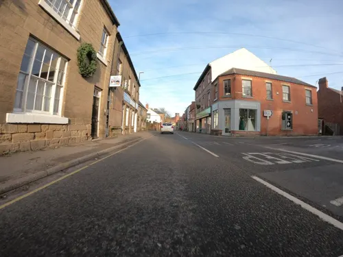
Riflemans Arms
Bar and pub
72 Bridge Street, Belper
Mo-We 16:00-22:00; Th 16:00-22:30; Fr-Sa 12:00-23:30; Su 12:00-22:00
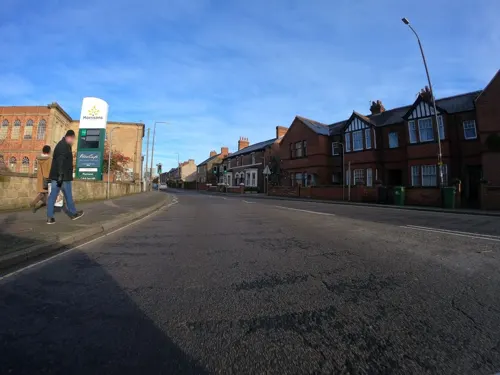
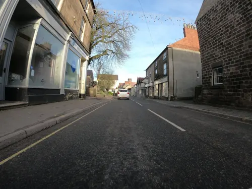
Yak & Yeti Belper
Restaurant · Indian, Nepalese
99-101 Bridge Street, Belper
Mo off; Tu-Su 10:00-22:00
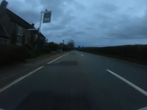
The Hanging Gate
Bar and pub · 1.5 mi
34 Ashbourne Road, Belper
Mo-Th 11:30-22:00; Fr-Sa 11:30-23:00; Su 11:30-22:00
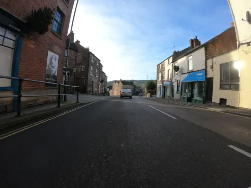



The Devonshire
Bar and pub
71 Bridge Street, Belper
Mo-We 12:00-22:00; Th-Sa 12:00-23:00; Su 12:00-21:00
The Green House
Bar and pub
King Street, Belper
Mo 12:00-23:00; Tu-Th 10:00-23:00; Fr-Sa 10:00-01:00; Su 12:00-22:00
67 more on the map.
History
At the time of the Norman occupation, Belper was part of the land centred on Duffield held by the family of Henry de Ferrers. The Domesday Book of 1086 records a manor of "Bradley" which is thought to have stood in an area of town now known as the Coppice. At that time it was probably within the Forest of East Derbyshire which covered the whole of the county east of the Derwent. It was possibly appropriated by William de Ferrers, 4th Earl of Derby at some time after it was disafforested in 1225 and became part of Duffield Frith.
The town's name is thought to be a corruption of Beaurepaire – meaning beautiful retreat – the name given to a hunting lodge, the first record of which being in a charter of 1231. This would have been the property of Edmund Crouchback, 1st Earl of Lancaster who died in 1296, the record of his estate mentioning "a capital mansion". The chapel built at that time still exists. Originally consecrated in 1250 as the Chapel of St Thomas, it was rededicated to St John during the reign of King Henry VIII. St John's Chapel is still in use today and is thought to be the oldest building still standing in Belper though it is now used for council meetings rather than church services.
Read more of the history
The coal deposits of Derbyshire are frequently associated with ironstone within the clay substrate. Initially obtained from surface workings, it would later have been mined in shallow bell pits. It is thought that this was important for the de Ferrers family, who were ironmasters in Normandy. By the reign of Henry VIII Belper had grown to a substantial size. It is recorded that in 1609 fifty-one people died of plague. However, in a Parliamentary Commissioners' report of 1650 regarding Duffield and its chapelries, Belper is described as "a hamlet appertaining to Duffield".
From at least the 13th century there were forges in the Belper and Duffield areas and iron-working became a major source of income, particularly nail making. By the end of the 18th century there were around 500 workshops in the town supplying nails to the newly built textile mills. The workshops were eventually superseded by machinery during the 19th century. Some of the nail-makers' houses are still in existence and form part of local tours of the town.
The industrialist Jedediah Strutt, a partner of Richard Arkwright, built a water-powered cotton mill in Belper in the late 18th century: the second in the world at the time. With the expansion of the textile industry Belper became one of the first mill towns. In 1784 Strutt built the North Mill and, across the road, the West Mill. In 1803 the North Mill was burnt down and replaced by a new structure designed to be fireproof. Further extensions followed, culminating in the East Mill in 1913 – a present-day Belper landmark. Although no longer used to manufacture textiles the mill still derives electricity from the river, using turbine-driven generators.
Strutt had previously patented his "Derby Rib" for stockings, and the plentiful supply of cotton encouraged the trade of framework knitting which had been carried on in the town and surrounding villages since the middle of the previous century. Mechanisation arrived about 1850, but by that time the fashion for stockings for men was disappearing. However elaborately patterned stockings, for ladies especially, were coming into vogue, and the output of the Belper "cheveners" was much in demand.
The construction of the North Midland Railway in 1840 brought further prosperity. Belper was the first place in the UK to get gas lighting, at a works erected by the Strutts at Milford. Demand was such that in 1850, the Belper Gas and Coke Company was formed, with a works in the present Goods Road. Electricity followed in 1922 from the Derby and Nottingham Electrical Power Company's works at Spondon. The first telephones came in 1895 from the National Telephone Company. The end of the century also brought the motor car, CH218, owned by Mr. James Bakewell of The Elms being possibly the first.
Belper remained a textile and hosiery centre into the 20th century. Meanwhile, other companies were developing: iron founding led to Park Foundry becoming a leader in the solid-fuel central-heating market; Adshead and Ratcliffe had developed Arbolite putty for iron-framed windows; Dalton and Company, which had been producing lubricating oils, developed ways of recovering used engine oil proving useful during the Second World War. In 1938, A. B. Williamson had developed a substance for conditioning silk stockings; the introduction of nylon stockings after the Second World War seemed to make it redundant, but mechanics and fitters had discovered its usefulness in cleaning hands and it is still marketed by Deb Group as Swarfega.
From the History section of Belper on Wikipedia, under CC BY-SA 4.0.
More about Belper
Geography
Belper is 8 miles (13 km) north of Derby and is in the valley of the River Derwent.
As well as Belper itself, the civil parish includes the communities and hamlets of:
The hamlet of Blackbrook is 2 miles (3 km) west of Belper on the A517 Ashbourne road.
The adjoining community of Openwoodgate lies to the east, one mile from the centre of Belper. A small eastern portion, centred around Openwood Road and the Kilburn Lane section of the A609 road, containing the historic Ireton Houses cottages and bordered by the A38, is contained within Denby parish.
This is a rural district lying west of the River Derwent and just north of Belper and Mount Pleasant. It contains a nature reserve on a nineteen-acre site. The nearby lane is part of the Derwent Valley Heritage Way. The reserve is placed on a reoccurring flood plain which makes it an attractive place for wildlife, especially wading birds.
Hillside is to the west of Belper Lane End, and contains the highest point of the parish at 214 metres (702 ft).
Firestone Hill is to the west of the town by the parish boundary at 191 metres (627 ft). Several masts for communications are positioned there.
Another local feature is Bessalone Hill at 182 metres (597 ft) to the north. It also carries radio masts.
Pinchom's Hill is north of Bargate, by Sandbed Lane. It is 169 metres (554 ft) in height.
Economy
Belper's economy was traditionally reliant on manufacturing industry and numerous goods were made in the town. Cotton spinning and textile production were major employers virtually for much of the 19th and early 20th centuries. The large East Mill and the smaller North Mill are now all that remain of the industry and are preserved as part of the Derwent Valley Mills world heritage site.
During the Second World War, Rolls-Royce based the Merlin aero engine design team and Robotham's engine design division developing the Meteor tank engine at Belper. After the Second World War, J. W. Thornton, the chocolate maker, moved into the town from Sheffield, which helped to alleviate the employment problems arising from the contraction of the earlier industries. In 1985, the company relocated to a new site a few miles away in Swanwick.
Today, the main employment sectors are retail and services although some manufacturing industry remains. The main shopping area is centred on King Street and Bridge Street. The town has three supermarkets, the Co-operative, Morrisons and Aldi. There are two discount shops, Poundland and B&M Bargains. There are smaller Tesco and Co-op supermarkets on the Whitemoor estate.
Arts and culture
Belper Town F.C. play their home games at Christchurch Meadow and are currently play in the Northern Premier League Division One Midlands. They are nicknamed the Nailers as a reference to the historical nail manufacturing industry in the town.
Belper United F.C. are currently members of the United Counties League Premier Division North and play at Coronation Park, the home of Eastwood C.F.C. in Nottinghamshire.
Belper Rugby Club play their home games at Strutt's Playing Field and are currently competing in RFU Midlands 3 East (North). The club was founded in 1975.
Belper Meadows Cricket Club was founded in 1880 and still play on Christchurch Meadows, formerly the private ground of Mr G H Strutt, which it took as its home when the ground on Derwent Street on which the Belper Cricket Club founded in 1857 had played became unavailable. The club was a founder member (1970) and three times champion of the Central Derbyshire Cricket League before that league merged with the Derbyshire County Cricket League in 1991.
Belper Chess Club was founded in 1975 and has since grown into one of the county’s most active clubs. The club competes in the Derbyshire Chess Association leagues and in 2026 achieved back‑to‑back Derbyshire Chess Association Division 1 titles.
Education
There are eight primary schools which feed the single secondary school:
Belper School and Sixth Form Centre has approximately 1,400 pupils aged 11–18. It was originally named "Belper High School" when it was built in 1973, and is adjacent to Belper Leisure Centre. Famous people to have attended the school include Ross Davenport – winner of two swimming gold medals at the 2006 Commonwealth Games – and Alison Hargreaves, holder of a number of mountaineering records.
Herbert Strutt Grammar School was among the Strutt family's bequests to the town. It became a middle school in 1973, with the opening of the new Belper High School, and latterly a primary school, in use as such until spring 2008 when it was replaced by a new building on a different site. Notable among its pupils were the actors Alan Bates and Timothy Dalton.
From the Wikipedia article Belper, under CC BY-SA 4.0.
Notable people from Belper
 Suzy KendallBritish actressPhoto: Interfilm, Public domain
 Hollie WebbBritish field hockey playerPhoto: fourthandfifteen, CC BY 2.0
 Samuel SlaterEnglish-American industrialistPhoto: National Biographical Publishing Company, Public domain
 Ross DavenportBritish swimmer, Olympic athlete, Commonwealth Games gold medallistPhoto: MIKISTUDIOS, CC BY-SA 4.0
 Alison SpeddingBritish anthropologistPhoto: Galrebix, CC BY-SA 4.0
 George Herbert Struttcotton mill owner and philanthropist (1854–1928)Photo: Unknown author Unknown author, Public domain
 Samuel HarrisonEnglish singerPhoto: William Daniell (engraver), Public domain
- Frank SwettenhamBritish colonial official (1850-1946)
- Ron WebsterBritish footballer (born 1943)
- Andrew JarrettBritish tennis player
- Tom BallardBritish rock climber and alpinist (1988-2019)
- Lee BarrowEnglish footballer (born 1973)
Born in Belper, according to Wikidata (CC0). Each name links to its Wikipedia article.
Where to stay4
Churches and places of worship21
Shopping15
Gas and EV charging3
Schools, colleges and libraries8
Healthcare7
Map of Belper
164 places. The map loads OpenStreetMap tiles when you open it.
Getting there and nearby towns
East Midlands Airport (EMA) is the nearest airport with scheduled flights listed in OpenStreetMap, 15 miles away.
- Ripley 3 mi east, about 6 min by car
- Heanor 5 mi east, about 9 min by car
- Derby 7 mi south, about 11 min by car
- Chaddesden 7 mi south, about 11 min by car
- Eastwood 8 mi east, about 12 min by car
- Pinxton 8 mi northeast, about 13 min by car
- Matlock 9 mi north, about 14 min by car
- Kimberley 9 mi east, about 15 min by car
- Kirkby in Ashfield 11 mi northeast, about 18 min by car
- Hucknall 12 mi east, about 19 min by car
Drive times are estimates from straight-line distance, not routes.
Towns near Belper


Keep exploring
Local news
Headlines from INDB.
Reviews, tips and questions
Loading what members have shared...
Sources and licences
- GeoNames (CC BY 4.0): population, coordinates, regions and time zone
- Mapillary (see each image): photos
- OpenStreetMap contributors (ODbL 1.0): places, airports, map data
- Wikidata (CC0 1.0): elevation, founding date, time zone, website, landmarks and historic places
- Wikimedia Commons (see each image): photos
- Wikipedia (CC BY-SA 4.0): overview and history text
Photo credits
- Belper kingst, chevin, Public domain
- Belper council office war memorial, Kelly, CC BY-SA 4.0
- Former Unitarian Sunday School, Belper, Alan Murray-Rust, CC BY-SA 2.0
- New Road Bridge, Belper, Alan Murray-Rust, CC BY-SA 2.0
- 7 and 9 Cheapside, Belper, Alan Murray-Rust, CC BY-SA 2.0
- 37-40 Market Place, Belper, Alan Murray-Rust, CC BY-SA 2.0
- Duffield Castle 225335 a19c01e6, Mike Bardill, CC BY-SA 2.0
- St Clements, Horsley, Derbyshire, Rob Howl, CC BY-SA 2.0
- Hazelwood Church 285037 b9d6975e, Nikki Mahadevan, CC BY-SA 2.0
- Denby - church tower and nave, Dave Bevis, CC BY-SA 2.0
- Milford church 014659 b3061770, Garth Newton, CC BY-SA 2.0
- Belper mill, chevin, Public domain
- St Peter's Belper, Duncan Harris, CC BY 2.0
- The Nags Head Pub, Belper, Derbyshire (51747985265), The Roaming Picture Taker, CC BY 2.0
- Arkwright Masson Mills, Unknown author, CC BY-SA 2.0
- Amber Valley boro, Victuallers, CC BY-SA 3.0
- Punk (28390201839), Mark Rickaby from Nottingham, United Kingdom, CC BY 2.0
- Sacrifice at Belper Memorial Gardens, Douglal, CC BY-SA 4.0
- Street-level photo, ntzm, CC BY-SA 4.0
- Street-level photo, southglos, CC BY-SA 4.0
- Street-level photo, ntzm, CC BY-SA 4.0
- Street-level photo, ntzm, CC BY-SA 4.0
- Street-level photo, ntzm, CC BY-SA 4.0
- Street-level photo, southglos, CC BY-SA 4.0
- Street-level photo, ntzm, CC BY-SA 4.0
- Street-level photo, southglos, CC BY-SA 4.0
- Street-level photo, southglos, CC BY-SA 4.0
- Street-level photo, southglos, CC BY-SA 4.0
- Street-level photo, ntzm, CC BY-SA 4.0
- Street-level photo, ntzm, CC BY-SA 4.0
- Street-level photo, ntzm, CC BY-SA 4.0
- Street-level photo, ntzm, CC BY-SA 4.0
- Street-level photo, ntzm, CC BY-SA 4.0
- Street-level photo, ntzm, CC BY-SA 4.0
- Street-level photo, ntzm, CC BY-SA 4.0
- Street-level photo, victuallers, CC BY-SA 4.0
- Street-level photo, ntzm, CC BY-SA 4.0
- Street-level photo, ntzm, CC BY-SA 4.0
- Street-level photo, ntzm, CC BY-SA 4.0
- Street-level photo, ntzm, CC BY-SA 4.0
- Street-level photo, ntzm, CC BY-SA 4.0
- Street-level photo, southglos, CC BY-SA 4.0
- Street-level photo, ntzm, CC BY-SA 4.0
- Street-level photo, orangutanclyde, CC BY-SA 4.0
- Street-level photo, ntzm, CC BY-SA 4.0


Page built November 10, 2026. Spotted a mistake? Tell us or suggest a place.