


Why visit Tansley
Townapedia lists 25 museums and landmarks, 10 parks and trails, 38 places to eat, 11 places to stay and 9 attractions in and around town.
Highlights include Grand Pavilion, Matlock Bath, Great Masson Cavern, The Ritz Building and Crich Stand.
Weather in Tansley
Forecast from MET Norway (CC BY 4.0). Full forecast
About Tansley
Tansley is a village and civil parish on the southern edge of the Derbyshire Peak District, two miles east of Matlock.
From the Wikipedia article Tansley (this version), under CC BY-SA 4.0.
Things to do9
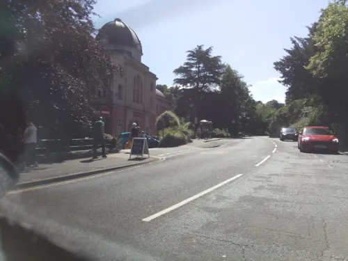
Grand Pavilion, Matlock Bath
Cinema and theater · 2.0 mi
Theatre in Matlock Bath, Derbyshire, England

Great Masson Cavern
Monument and historic site · 2.0 mi
Cave in United Kingdom

Gulliver's Kingdom Resort
Monument and historic site · 2.1 mi
Children's theme park resort in Matlock Bath, Derbyshire

Matlock Bridge
Bridge · 1.6 mi
Grade II* listed bridge in Derbyshire, England, UK


Great Rutland Cavern
Monument and historic site · 2.0 mi
Cave in Derbyshire, United Kingdom



Museums and landmarks25

Crich Stand
Monument and historic site · 2.9 mi
Memorial tower in Crich, Amber Valley, Derbyshire, England, UK

Cromford War Memorial
Monument and historic site · 2.3 mi
Grade II listed war memorial in Cromford, Derbyshire Dales, Derbyshire, England, UK
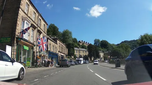
Life in a Lens Museum of Photography & Old Times
Museum · 2.0 mi
Museum in Matlock Bath, Derbyshire, England, UK (2001-2017/8)

Matlock Bath War Memorial
Monument and historic site · 1.8 mi
War memorial in Matlock Bath, Derbyshire, England, UK

National Tramway Museum
Museum · 3.2 mi
United Kingdom national museum of tramways

Pic Tor War Memorial
Monument and historic site · 1.5 mi
Memorial in Matlock Town, Derbyshire Dales, Derbyshire, England, UK

County Hall
Monument and historic site · 1.6 mi
Smedley Street, Matlock


Peak District Mining Museum
Museum · 2.0 mi
Mining museum in Matlock Bath, England, United Kingdom
13 more on the map.
Parks, trails and playgrounds10
Derwent Gardens
Park · 2.0 mi
Public park in Matlock Bath, Derbyshire, England

Heights of Abraham
Park · 2.0 mi
Tourist attraction in Matlock Bath, Derbyshire, England, UK

Lovers' Walks
Park · 1.9 mi
Public park in Matlock Bath, Derbyshire, England
Restaurants and cafes38

The Duke William
Bar and pub · 1.4 mi
91 Church Street, Matlock
Mo 17:00-23:00; Tu-Th 12:00-15:00,17:00-23:00; Fr-Sa 12:00-23:00;...
Duke of Wellington
Bar and pub · 1.3 mi
115 Wellington Street, Matlock
Mo-Sa 12:00-23:00; Su 12:00-23:30
The Farmacy
Bar and pub · 1.5 mi
76 Smedley Street, Matlock
Mo,Tu off; We,Th 16:00-22:00; Fr,Sa 12:00-23:00; Su 15:00-22:00
The Newsroom
Bar and pub · 1.5 mi
Draught and Keg, beers, ciders and lagers. Bottled wine and spirits. Matlock and Dales CAMRA pub of the year 2020.
Mo 18:00-23:00; Tu-Su 12:00-23:00


Colombo by Ayubowan
Restaurant · Sri Lankan
Alfreton Road, Matlock
26 more on the map.
History
Tansley is recorded in the Domesday Book as Taneslege, and its name comes from the combination of the Old English elements tān and lēah. Lēah has been translated as 'woodland clearing', but the tān element is contested. It may mean 'branch', perhaps used of 'a valley branching off from the main valley'. However, it has also been translated as a masculine Anglo-Saxon personal name, that is otherwise unrecorded. Other suggestions have been 'sprout, shoot', thus translating the name as 'wood or clearing from which shoots were obtained'.
Read more of the history
Tansley grew during the Industrial Revolution, its main industry being the quarrying of millstone grit (for making mill-stones, now adopted as the symbol of the Peak District National Park). A copious amount of water runs off Tansley moor above the village, eventually running into Bentley Brook, a tributary of the Derwent. Bentley Brook and three of its feeder streams have been dammed in the past to make artificial lakes which provided water to power mills. As well as five mills in Lumsdale Valley there were also three mills in Tansley village, two of which remain having been restored for new uses. Nowadays the surviving lakes are stocked with fish for angling. The water also led to the establishment of Tansley Hydro (later Tansley House residential adult care home, now closed) when spas and hydrotherapy were in fashion and Victorian tourists came to the Matlock area for its Romantic charm.
Tansley is now more famous for its many garden centres and plant nurseries, its many small businesses and its large Sunday car-boot market.
From the History section of Tansley on Wikipedia, under CC BY-SA 4.0.
Where to stay11
The Duke William's Caravan & Camping Site
Campground · 1.3 mi
91 Church Street, Matlock
Churches and places of worship23
Shopping7
Gas and EV charging1
Schools, colleges and libraries8
St Giles Church of England Primary and Nursery School
School · Anglican · 1.4 mi
Starkholmes Road, Matlock
Healthcare3
Derbyshire Dales Primary Care Network Ltd
Clinic and pharmacy · 0.4 mi
Old Coach Road, Matlock
Map of Tansley
135 places. The map loads OpenStreetMap tiles when you open it.
Getting there and nearby towns
East Midlands Airport (EMA) is the nearest airport with scheduled flights listed in OpenStreetMap, 22 miles away.
- Matlock 2 mi west, about 3 min by car
- Alfreton 6 mi southeast, about 10 min by car
- Belper 8 mi south, about 12 min by car
- Ripley 8 mi southeast, about 14 min by car
- Youlgreave 8 mi west, about 12 min by car
- Chesterfield 9 mi northeast, about 15 min by car
- Pinxton 9 mi east, about 14 min by car
- Sutton in Ashfield 11 mi east, about 17 min by car
- Heanor 11 mi southeast, about 17 min by car
- Kirkby in Ashfield 12 mi east, about 19 min by car
Drive times are estimates from straight-line distance, not routes.
Towns near Tansley


Keep exploring
Local news
Headlines from INDB.
Reviews, tips and questions
Loading what members have shared...
Sources and licences
- GeoNames (CC BY 4.0): population, coordinates, regions and time zone
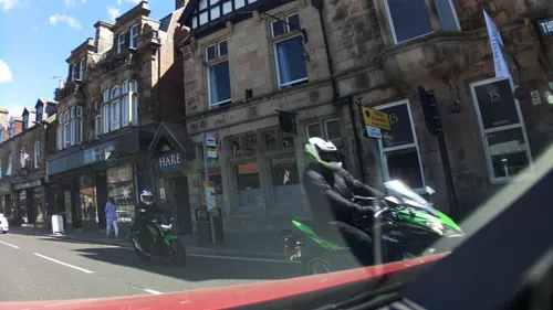
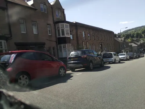
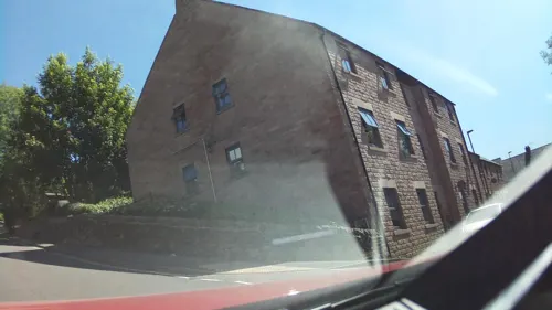
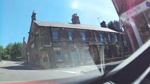
- Mapillary (see each image): photos
- OpenStreetMap contributors (ODbL 1.0): places, airports, map data
- Wikidata (CC0 1.0): elevation, founding date, time zone, website, landmarks and historic places
- Wikimedia Commons (see each image): photos
- Wikipedia (CC BY-SA 4.0): overview and history text
Photo credits
- Tansley, Andie Gilmour at English Wikipedia, Public domain
- Tansley - Church, Dave Bevis, CC BY-SA 2.0
- Tansley - Community Hall, Dave Bevis, CC BY-SA 2.0
- Tansley - Methodist Church, Dave Bevis, CC BY-SA 2.0
- Gulliver's Kingdom - Rides, PLTRON, CC BY-SA 4.0
- Crich Stand2, Rob Bendall ( Highfields ), Attribution
- Cromford War Memorial 3690, Clem Rutter, Rochester, Kent., CC BY-SA 3.0
- War memorial - small park - North Parade - Matlock Bath (15095711948), Elliott Brown from Birmingham, United Kingdom, CC BY-SA 2.0
- Pic Tor War Memorial, Bill Boaden, CC BY-SA 2.0
- Christ Church, Lea, Derbyshire 01, Enchufla Con Clave, CC BY-SA 4.0
- St Giles Church, Rob Bendall ( Highfields ), Attribution
- Cromford Church, Pikaluk from West Midlands, UK - upload aug 2007 by Victuallers, CC BY 2.0
- Ribercastleexteriorrealok2, AxG at English Wikipedia, Public domain
- Matlock - County Offices frontage, Dave Bevis, CC BY-SA 2.0
- Duke William Inn, Old Matlock, Dave.Dunford, CC BY-SA 4.0
- The Great Masson Cavern, TheHeightsofAbraham, CC BY-SA 4.0
- Matlock Bridge. - panoramio, Robert Powell, CC BY-SA 3.0
- Lumsdale Falls (39083763794), Bill Tyne from Oxford, England, CC BY-SA 2.0
- Crich Tramway Village - National Tramway Museum - Crich - K1 Telephone Box (15185984729), Elliott Brown from Birmingham, United Kingdom, CC BY-SA 2.0
- Heights of Abraham (16716886350), Michael D Beckwith, CC0
- Street-level photo, southglos, CC BY-SA 4.0
- Street-level photo, southglos, CC BY-SA 4.0
- Street-level photo, southglos, CC BY-SA 4.0
- Street-level photo, southglos, CC BY-SA 4.0
- Street-level photo, southglos, CC BY-SA 4.0
- Street-level photo, pedrito1414, CC BY-SA 4.0
- Street-level photo, southglos, CC BY-SA 4.0
- Street-level photo, southglos, CC BY-SA 4.0
- Street-level photo, southglos, CC BY-SA 4.0
- Street-level photo, southglos, CC BY-SA 4.0
- Street-level photo, southglos, CC BY-SA 4.0
- Street-level photo, southglos, CC BY-SA 4.0
- Street-level photo, southglos, CC BY-SA 4.0
- Street-level photo, southglos, CC BY-SA 4.0
- Street-level photo, southglos, CC BY-SA 4.0
- Street-level photo, southglos, CC BY-SA 4.0
- Street-level photo, southglos, CC BY-SA 4.0
- Street-level photo, southglos, CC BY-SA 4.0


Page built November 10, 2026. Spotted a mistake? Tell us or suggest a place.