


Shurdington, United Kingdom
Shurdington is a town of 1,798 people in England, United Kingdom.
Why visit Shurdington
Townapedia lists 22 museums and landmarks, 13 parks and trails, 7 places to eat, 1 place to stay and 8 attractions in and around town.
Highlights include Everyman Theatre, The Playhouse, Jet Age Museum and The Wilson.
Weather in Shurdington
Forecast from MET Norway (CC BY 4.0). Full forecast
About Shurdington
Shurdington is a village near Cheltenham in Gloucestershire, England. The area constitutes a civil parish within the Borough of Tewkesbury. It is located south of Cheltenham on the A46. The population at the 2011 census was 1,936.
From the Wikipedia article Shurdington (this version), under CC BY-SA 4.0.
Things to do8

Everyman Theatre
Cinema and theater · 3.2 mi
Theatre in Cheltenham, England

The Playhouse
Cinema and theater · 3.1 mi
Theatre in Cheltenham, England

Bacon Theatre
Cinema and theater · 2.2 mi
Theatre on the site of Dean Close School, Cheltenham, England


Devil's Table
Scenic view · 1.4 mi
From near a pillar of limestone rock, the view opens to a wide angle panorama of the Severn Vale and the Cotswolds
Museums and landmarks22

Jet Age Museum
Museum · 3.2 mi
Aviation museum in Staverton, Gloucestershire, United Kingdom

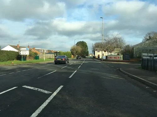
Lavender Lodge
Monument and historic site
Part of The Greenway Hotel and Spa. It is guest accommodation.
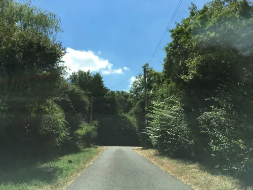

10 more on the map.
Parks, trails and playgrounds13

The Park, University of Gloucestershire
Park · 2.2 mi
Park in United Kingdom
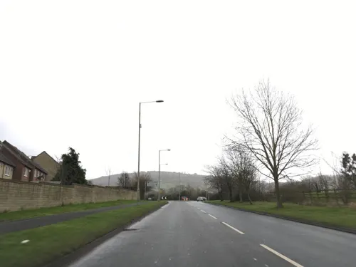


1 more on the map.
Restaurants and cafes7
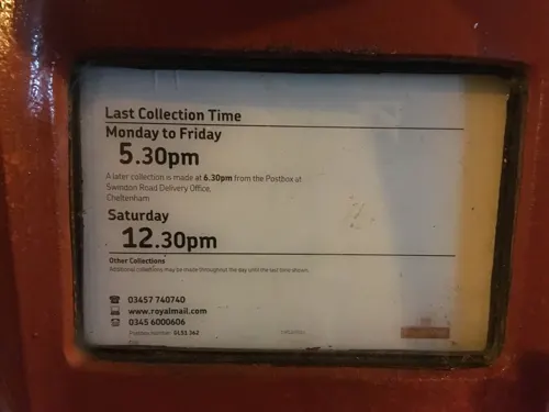
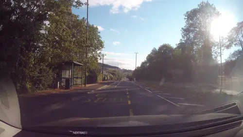


Up Hatherley Social Club
Bar and pub · 1.4 mi
Su-Th 07:00-11:00; Fr,Sa 07:00-12:00
Where to stay1
Churches and places of worship10
Shopping1
Gas and EV charging1
Schools, colleges and libraries7
Map of Shurdington
70 places. The map loads OpenStreetMap tiles when you open it.
Getting there and nearby towns
Gloucestershire Airport (GLO) is the nearest airport with scheduled flights listed in OpenStreetMap, 3 miles away.
- Churchdown 2 mi northwest, about 4 min by car
- Cheltenham 3 mi northeast, about 5 min by car
- Charlton Kings 4 mi northeast, about 6 min by car
- Gloucester 5 mi west, about 8 min by car
- Bishops Cleeve 6 mi northeast, about 10 min by car
- Stroud 8 mi southwest, about 14 min by car
- Tewkesbury 9 mi north, about 15 min by car
- Cirencester 12 mi southeast, about 19 min by car
- Avening 13 mi south, about 21 min by car
- Dursley 16 mi southwest, about 26 min by car
Drive times are estimates from straight-line distance, not routes.
Towns near Shurdington


Keep exploring
Local news
Headlines from INDB.
Reviews, tips and questions
Loading what members have shared...
Sources and licences
- GeoNames (CC BY 4.0): population, coordinates, regions and time zone
- Mapillary (see each image): photos
- OpenStreetMap contributors (ODbL 1.0): places, airports, map data
- Wikidata (CC0 1.0): elevation, founding date, time zone, website, landmarks and historic places
- Wikimedia Commons (see each image): photos
- Wikipedia (CC BY-SA 4.0): overview and history text
Photo credits
- Gloster E28 39 (48648599192), Hugh Llewelyn from Keynsham, UK, CC BY-SA 2.0
- Cheltenham Art Gallery & Museum on 21 March 2009, Elliott Brown from Birmingham, United Kingdom, CC BY 2.0
- Orobanche hederae1, No machine-readable author provided. Aroche assumed (based on copyright claims)., CC BY 2.5
- Cheltenham Minster 04, Simon Burchell, CC BY-SA 4.0
- Church of St Peter Leckhampton, Robin Poitou, CC BY-SA 3.0
- Everyman Theatre, Cheltenham - panoramio, N19±, CC BY-SA 3.0
- Cheltenham Playhouse (43671951182), Reading Tom from Reading, UK, CC BY 2.0
- Street-level photo, southglos, CC BY-SA 4.0
- Street-level photo, dllewellyn, CC BY-SA 4.0
- Street-level photo, southglos, CC BY-SA 4.0
- Street-level photo, southglos, CC BY-SA 4.0
- Street-level photo, southglos, CC BY-SA 4.0
- Street-level photo, swinetown, CC BY-SA 4.0
- Street-level photo, southglos, CC BY-SA 4.0
- Street-level photo, swinetown, CC BY-SA 4.0
- Street-level photo, swinetown, CC BY-SA 4.0
- Street-level photo, swinetown, CC BY-SA 4.0
- Street-level photo, southglos, CC BY-SA 4.0
Page built November 10, 2026. Spotted a mistake? Tell us or suggest a place.