


South Harting, United Kingdom
South Harting is a town of 1,087 people in England, United Kingdom.
Why visit South Harting
Townapedia lists 8 museums and landmarks, 2 parks and trails, 2 places to eat, 1 place to stay and 6 attractions in and around town.
Highlights include Torberry Hill, Uppark House and Harting Beacon: a hilltop enclosure, Anglo-Saxon burial mound and telegraph station on Beacon and Pen Hills.
Weather in South Harting
Forecast from MET Norway (CC BY 4.0). Full forecast
About South Harting
South Harting is a village within Harting civil parish in the Chichester district of West Sussex, England. It lies on the B2146 road, 4 miles (6.4 km) southeast of Petersfield in Hampshire.
From the Wikipedia article South Harting (this version), under CC BY-SA 4.0.
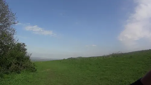
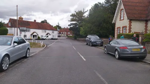
Photos of South Harting

Things to do6



Museums and landmarks8


Harting Beacon: a hilltop enclosure, Anglo-Saxon burial mound and telegraph station on Beacon and Pen Hills
Monument and historic site · 1.6 mi
Hillfort in West Sussex, England, UK

Petersfield Museum and Art Gallery
Museum · 3.3 mi
Local museum in Petersfield, Hampshire, England, United Kingdom

Uppark
Museum · 1.2 mi
Grade I listed country house in Harting, West Sussex, England, UK


Parks, trails and playgrounds2

Restaurants and cafes2

History
South Harting, along with the hamlets of West Harting and East Harting, was listed in the Domesday Book of 1086 as the large Manor of Harting (Hertinges). Listed were 134 villagers, 42 smallholders and 20 slaves, ploughlands, woodland and meadows, and nine mills, a significant settlement at that time, even though the parish included Rogate. Details of subsequent structures and ownership over several centuries are described in A history of the county of Sussex published in 1953.
Apart from three generations of the Earls Montgomery the manor was in the possession of the Crown until 1610, when it was granted to the Caryll family. During the First English Civil War in 1643, there were two engagements fought in the village including the Battle of South Harting fought on the night of 23–24 November 1643, and on 24 November the parish register records that 3 soldiers were buried in the churchyard. South Harting suffered greatly during the English Civil War and was ransacked multiple times by both sides. A Royalist garrison was present in the village from early December 1643 centred around Harting Place, the house of Sir John Caryll who was an ardent Royalist, to protect the lines of communication between Winchester and Oxford, and the newly captured Arundel. A second engagement was fought in South Harting in December 1643.
Read more of the history
In 1746 the manor was purchased by the Featherstonhaugh family, in whose possession it remains.
In 1861 the parish covered 7,832 acres (3,169 ha) and had a population of 1,247.
South Harting was the subject of the 1956 documentary An English Village, as a quintessential English village nestled at the base of the South Downs, embodying the traditional, rural aspects of English life. Commissioned by the Colonial Office and produced by Anvil Films, the film showcases the village's economy centred around the land and brickworks, highlighting a self-sufficient and neighbourly community. The documentary illustrates how the church, parish council, local school, village shops, and community activities like the Women's Institute contribute to the cohesiveness and smooth running of village life. This portrayal serves not only as a record of the village in the mid-1950s but also as an archival treasure reflecting the timeless values of English village life before modern changes took effect.
From the History section of South Harting on Wikipedia, under CC BY-SA 4.0.
Where to stay1
Churches and places of worship3
Schools, colleges and libraries1
Map of South Harting
23 places. The map loads OpenStreetMap tiles when you open it.
Getting there and nearby towns
Goodwood Aerodrome (QUG) is the nearest airport with scheduled flights listed in OpenStreetMap, 9 miles away.
- Petersfield 3 mi northwest, about 5 min by car
- Waterlooville 9 mi southwest, about 14 min by car
- Havant 9 mi southwest, about 14 min by car
- Emsworth 9 mi south, about 14 min by car
- Chichester 10 mi southeast, about 16 min by car
- Bordon 10 mi north, about 16 min by car
- Haslemere 11 mi northeast, about 18 min by car
- Cosham 12 mi southwest, about 19 min by car
- Alton 13 mi north, about 21 min by car
- Portsmouth 15 mi southwest, about 24 min by car
Drive times are estimates from straight-line distance, not routes.
Towns near South Harting


Keep exploring
Local news
Headlines from INDB.
Reviews, tips and questions
Loading what members have shared...
Sources and licences
- GeoNames (CC BY 4.0): population, coordinates, regions and time zone
- Mapillary (see each image): photos
- OpenStreetMap contributors (ODbL 1.0): places, airports, map data
- Wikidata (CC0 1.0): elevation, founding date, time zone, website, landmarks and historic places
- Wikimedia Commons (see each image): photos
- Wikipedia (CC BY-SA 4.0): overview and history text
Photo credits
- South Harting5, Charles ( talk ), Public domain
- Bystocks, South Harting, Dave.Dunford, CC BY-SA 4.0
- South Harting Church 1, Simon Burchell, CC BY-SA 3.0
- 7, The Street, South Harting, Dave.Dunford, CC BY-SA 4.0
- Beacon Hill trig point, South Harting 01, Simon Burchell, CC BY-SA 3.0
- Petersfield Museum (former Police Station), St Peter's Road, Petersfield (July 2019), Hassocks5489, CC0
- Petersf church2, Ericoides, CC BY-SA 3.0
- Uppark-Sfront-01, EccentricRichard at English Wikipedia, CC BY-SA 3.0
- South Harting Church5, Charles ( talk ), Public domain
- Torberry Hill, South Harting 02, Simon Burchell, CC BY-SA 3.0
- Torberry Hill, South Harting 01, Simon Burchell, CC BY-SA 3.0
- Tower Hill, South Harting, Hampshire 05, Simon Burchell, CC BY-SA 4.0
- St Mary and St Gabriel, Harting, from outside gate, Rwendland, CC BY-SA 3.0
- Tower Hill, South Harting, Hampshire 02, Simon Burchell, CC BY-SA 4.0
- Street-level photo, noid, CC BY-SA 4.0
- Street-level photo, noid, CC BY-SA 4.0
- Street-level photo, noid, CC BY-SA 4.0
- Street-level photo, daveemtb, CC BY-SA 4.0

Page built November 10, 2026. Spotted a mistake? Tell us or suggest a place.