


Stanwell, United Kingdom
Stanwell is a town of 11,279 people in England, United Kingdom.
Why visit Stanwell
Townapedia lists 8 museums and landmarks, 9 parks and trails, 79 places to eat, 6 places to stay and 5 attractions in and around town.
Highlights include Staines Bridge, Staines Railway Bridge, Ankerwycke Priory and Burlington House.
Weather in Stanwell
Forecast from MET Norway (CC BY 4.0). Full forecast
About Stanwell
Stanwell is a village in the Spelthorne district, in Surrey, England. It is 16 miles (26 km) west of central London. A small corner of its land is used as industrial land for nearby Heathrow Airport. The rest of the village is made up of residential and recreational land.
From the Wikipedia article Stanwell (this version), under CC BY-SA 4.0.
Things to do5

Staines Bridge
Bridge · 2.2 mi
Bridge over the Thames in Runnymede, Surrey, England, UK

Staines Railway Bridge
Bridge · 2.2 mi
Bridge over the Thames in the United Kingdom

Museums and landmarks8

Ankerwycke Priory
Monument and historic site · 3.5 mi
Benedictine nunnery with associated moat and fishponds


Bedfont Lake's Country Park rangers hut and information centre.
Monument and historic site · 1.4 mi
Parks main rangers hut with all the park information any visitor could want.
Bedfont Lakes country park visitors area.
Monument and historic site · 1.4 mi
Area for people that want park information wherever it be locals or tourist's or anyone just visiting. Nearby rangers hut has all park...
The Courtyard Of Windows
Monument and historic site · 1.5 mi
Famous photo spot famous for appearing on most Backrooms canons.
Parks, trails and playgrounds9

Arthur Jacob Nature Reserve
Park · 2.6 mi
Local nature reserve located in Horton

Crane Meadows
Park · 3.0 mi
Nature reserve in London, England, United Kingdom




Restaurants and cafes79
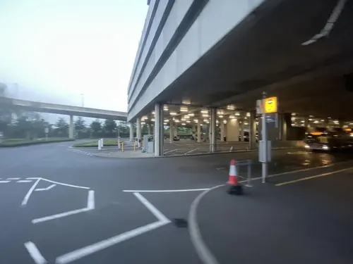
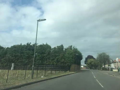

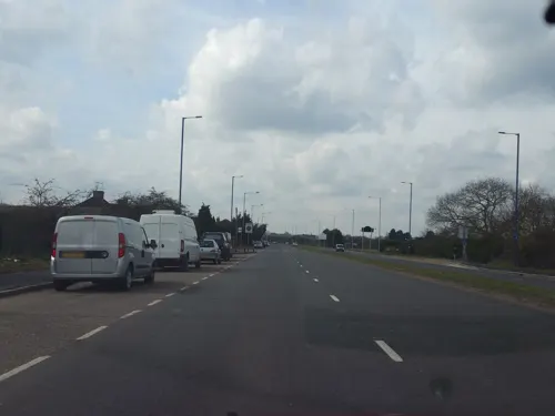
The Orchard Cafe
Cafe · Regional · 1.1 mi
776 Staines Road, Feltham
Mo-Su 07:00-15:00
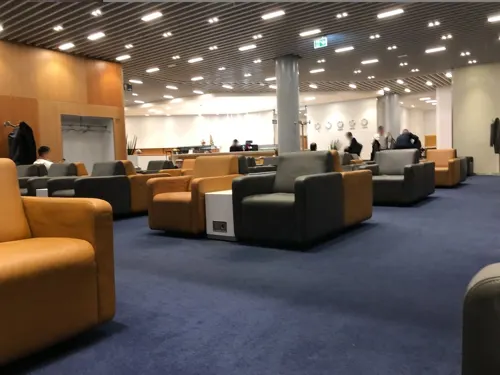


M2 Pizza Pasta
Restaurant · Pizza, Pasta · 1.4 mi
15 Church Road, Ashford
Mo-Sa 11:30-23:00; Su 11:30-22:00
67 more on the map.
History
There are two theories regarding the origin of the name Stanwell. One is that it was named after St Ann(e)'s well in the village, but according to all known records the parish church has always been dedicated to St Mary. The second is that it means 'stone well', referring to stony soil or the adjoining street to the south. The first few letters of the name are the same as in the name of neighbouring Staines-upon-Thames, which also is said to mean 'stones', in the same way as the Great Vowel Shift failed to influence the spelling and pronunciation of the contemporaneously pronounced Stane Streets (i.e. stone streets), the Old English for many of the stone-laid Roman roads in Britain
Read more of the history
The Domesday Book of 1086 records 'Stanwelle' held by Walter, son of Othere. This places it among the large minority of head manors retained by men with Anglo-Saxon names. Its Domesday assets were: 15 hide, 4 mills worth £3 10s 0d and 375 eels, 3 weirs worth 1000 eels, 10 ploughs, meadow for 12 ploughs and woodland worth 12 hogs. It rendered £14 per year to its feudal system overlords. The fruitful watercourse was the western border of the village and of Middlesex, the River Colne West Bedfont may have been a hamlet of Stanwell in 1086; however, the dividing line between West Bedfont hamlet in Stanwell parish and East Bedfont in the parish of Bedfont (now in Greater London) may not have been drawn before the 11th or 12th century. West Bedfont along with Rudsworth are no longer used by residents (as localities, hamlets, neighbourhoods). In the Middle Ages the parish was mostly open fields
In 1603, Thomas Knyvet was granted the manor of Stanwell. Knyvet was the man who arrested Guy Fawkes in his attempt to blow up the Houses of Parliament. He was created Lord Knyvet in 1607, and in his will left money to found a free school in Stanwell, which was established in 1624. The building is no longer a school and now belongs to a housing association. It is Grade II* listed. However Thomas Knyvett College, bears his name in the twenty-first century.
James VI and I's infant daughter Mary died at Stanwell while in the care of the Knyvet household. Several members of the aristocracy lived there in the 17th and 18th centuries. The Cox's Orange Pippin was first grown c. 1830 by Richard Cox in his garden on the Bath Road within the parish, see Colnbrook which now has this piece of land.
An unknown species of rose was found in a local garden in 1838, and given the name of Stanwell Perpetual.
Hounslow Heath extended over the area north of Bedfont Road until 1792, and a strip of moorland (Borough Green and Spout Moor) along the present Spout Lane joined it to Hither Moor and Farther Moor, which stretched towards Staines Moor. There were lammas lands in the far east and elsewhere and meadows along many of the river banks, particularly in the north, but the remainder of the parish was largely arable land. Nearly all the land west of Stanwell Moor's clustered centre and that around Hammonds Farm was enclosed by the mid-18th century. Borough Field, to the north and west of the manor-house, and another small field nearby were inclosed in 1771 by the lord of the manor. Most of the area south of Stanwell and West Bedfont villages remained open until 1792 on their enclosure.
By the 18th century the remaining common land was generally known as Stanwell Field or Town Field until its enclosure. Orchards and market gardens began to spread over the parish in the second half of the 19th century. The Staines and West Drayton Railway (now closed) was opened in 1884, with Colnbrook railway station in Stanwell parish at Poyle, after the then neighbouring village. The streets of small houses behind the southwest Crooked Billet roundabout (named after a demolished pub) were built in the 1880s. As a community they formed part of Staines, and were transferred to it officially in 1896.
The Staines Union Workhouse was built on the London Road in the mid-19th century. Together with a former boys' home and a former isolation hospital, both opened about 1913, it became Ashford Hospital. Two cemeteries were opened near the A30 between 1895 and 1910. The Staines Reservoirs were completed in 1902 and started supplying water to London in 1904. Between them they cover 440 acres (180 ha).
The two old settlements grew slightly, notably by the building of council housing estates in Stanwell in 1919 and in Stanwell Moor in 1930. A private motor-bus served the village by 1926, and London Transport buses began in 1932. Poyle Halt on the defunct railway opened in 1927 and Poyle Industrial Estate Halt in 1953. Housing society and council house building began after the Second World War, including 300 pre-fabricated homes. From 1930, having formed part of a 19th-century Sanitary District then Rural District, Stanwell was administered by Staines Urban District (of the county of Middlesex) until its 1974 dissolution. In 1965 were it not for special provision Stanwell would have seceded with the rest of Middlesex to London: the Staines, Sunbury and Potters Bar Urban Districts transferred variously to Surrey and Hertfordshire, the most distant parts of the county from London.
The civil parish, with its wider functions than those surviving today. It was relatively active; it intervened with partial success in the negotiations for the building of the reservoirs and saw the provision of allotments in 1918 and of a recreation ground in 1927. Its first complaint about dangerous driving along the London Road was made in 1909. In addition to the overseer, who was unpaid, the council had two salaried assistant overseers, one of whom was also clerk to the council and the other of whom was the rate collector. The council protested against the inclusion of Stanwell in Staines Urban District, which nevertheless took place, so that the council was dissolved. In 1951 the parish had a population of 8148. On 1 April 1974 the parish was abolished.
From the History section of Stanwell on Wikipedia, under CC BY-SA 4.0.
More about Stanwell
Economy
What was the north of the parish is a major industrial, distribution and headquarters zone, bound up now in the broad expression 'the M4 corridor'. There was little building in the parish before World War I. The first factory/warehouse at Poyle appeared before 1914 another at West Bedfont in the 1920s. By 1956 there were between 70 and 80 at Poyle, and several at West Bedfont. During the 1920s and 1930s ribbon development spread along the main roads: on the A4 Bath Road Colnbrook remains mainly residential. Garages and a few small factories (now motor manufacturer garages and offices) had been built by the 1950s and remain along the A30 London Road, including Del Monte, Ford and Suzuki.
At one time British Mediterranean Airways was headquartered at the Cirrus House within the post town but in the London Borough of Hounslow, near Stanwell.
From the Wikipedia article Stanwell, under CC BY-SA 4.0.
Notable people from Stanwell
 James NaresEnglish composerPhoto: Thomas Hardy, Public domain
- Owen BuckinghamMP and Lord Mayor of London; (1649-1713)
Born in Stanwell, according to Wikidata (CC0). Each name links to its Wikipedia article.
Where to stay6
Holiday Inn Express London Heathrow T4
Motel and hotel · 1.5 mi
1 Swindon Road, Hounslow
Churches and places of worship16
St George’s Interdenominational Chapel, Heathrow Airport
Church · 1.5 mi
St. George's Interdenominational Chapel
Church · Interdenominational · 1.5 mi
Heathrow Airport Inner Ring West
Shopping26
Gas and EV charging5
Schools, colleges and libraries11
Healthcare10
Map of Stanwell
175 places. The map loads OpenStreetMap tiles when you open it.
Getting there and nearby towns
Heathrow Airport (LHR) is the nearest airport with scheduled flights listed in OpenStreetMap, 1 miles away.
- West Drayton 3 mi north, about 5 min by car
- Sunbury-on-Thames 4 mi southeast, about 7 min by car
- Walton-on-Thames 5 mi southeast, about 9 min by car
- Windsor 6 mi west, about 9 min by car
- Slough 6 mi northwest, about 10 min by car
- Weybridge 6 mi south, about 9 min by car
- Sunninghill 8 mi southwest, about 14 min by car
- Woking 10 mi south, about 16 min by car
- Sudbury 10 mi northeast, about 16 min by car
- Harrow 11 mi northeast, about 17 min by car
Drive times are estimates from straight-line distance, not routes.
Towns near Stanwell


Keep exploring
Local news
Headlines from INDB.
Reviews, tips and questions
Loading what members have shared...
Sources and licences
- GeoNames (CC BY 4.0): population, coordinates, regions and time zone
- Mapillary (see each image): photos
- OpenStreetMap contributors (ODbL 1.0): places, airports, map data
- Wikidata (CC0 1.0): elevation, founding date, time zone, website, landmarks and historic places
- Wikimedia Commons (see each image): photos
- Wikipedia (CC BY-SA 4.0): overview and history text
Photo credits
- Stanwell Village Green and War Memorial - panoramio, Maxwell Hamilton, CC BY-SA 3.0
- StainesBridge01, Motmit, CC BY-SA 3.0
- Staines Railway Bridge Over The Thames, Jim Linwood, CC BY 2.0
- Ruins of Ankerwyke Priory, Andrew Gray, CC BY-SA 4.0
- Arthur Jacob Nature Reserve at Horton, Berkshire, Nathan Harvey, CC BY-SA 4.0
- BaptistchapelWraysbury, Ej.culley, CC BY-SA 3.0
- StanwellChurch, Maxwell Hamilton from Greater London, England, UK, CC BY 2.0
- Crown Rivers, Heathrow Airport, TW6 (9492911065), Ewan Munro from London, UK, CC BY-SA 2.0
- Hilton Garden Inn hotel at Heathrow Airport (LHR EGLL), London, England (U.K.) (53334773291), Charles from Port Chester, New York, CC BY 2.0
- Cranebank path, Dudley Miles, CC BY-SA 3.0
- Crane Meadows, JoshuaAnthonyGill, CC BY-SA 4.0
- Ashford Hospital - panoramio, Maxwell Hamilton, CC BY-SA 3.0
- Spelthorne - Ashford War Memorial - 20230902123107, DanielMichaelPerry, CC BY-SA 4.0
- Street-level photo, southglos, CC BY-SA 4.0
- Street-level photo, geoengtechel, CC BY-SA 4.0
- Street-level photo, southglos, CC BY-SA 4.0
- Street-level photo, 4004, CC BY-SA 4.0
- Street-level photo, ilmarinen946, CC BY-SA 4.0
- Street-level photo, ozflor, CC BY-SA 4.0
- Street-level photo, themadcabbie, CC BY-SA 4.0
- Street-level photo, themadcabbie, CC BY-SA 4.0
- Street-level photo, ilmarinen946, CC BY-SA 4.0
- Street-level photo, ilmarinen946, CC BY-SA 4.0
- Street-level photo, jjh, CC BY-SA 4.0
- Street-level photo, RyanBush, CC BY-SA 4.0
- Street-level photo, 4004, CC BY-SA 4.0


Page built November 10, 2026. Spotted a mistake? Tell us or suggest a place.