
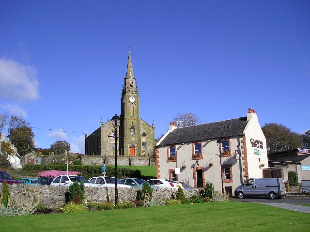


Stevenston, United Kingdom
Stevenston is a town of 9,290 people in Scotland, United Kingdom.
Why visit Stevenston
Townapedia lists 14 museums and landmarks, 7 parks and trails, 13 places to eat, 2 places to stay and 1 attraction in and around town.
Highlights include Eglinton Tournament Bridge, North Ayrshire Heritage Centre, Dalgarven Mill Museum of Country Life and Costume and Eglinton Country Park.
Weather in Stevenston
Forecast from MET Norway (CC BY 4.0). Full forecast
About Stevenston
Stevenston (Scots: Stinstoun, Scottish Gaelic: Baile Steaphain) is a town and parish in North Ayrshire, Scotland. Along with Ardrossan and Saltcoats it is one of the "Three Towns", all of similar size, on the Firth of Clyde coast; the easternmost parts of Stevenston are about 1⁄2 mile (800 metres) from western parts of Kilwinning, the A78 trunk road runs between the settlements.
From the Wikipedia article Stevenston (this version), under CC BY-SA 4.0.
Photos of Stevenston


Things to do1

Eglinton Tournament Bridge
Bridge · 3.3 mi
Footbridge in North Ayrshire, Scotland, UK, across Lugton Water
Museums and landmarks14

Dalgarven Mill Museum of Country Life and Costume
Museum · 3.0 mi
Museum in Kilwinning, North Ayrshire, Scotland, United Kingdom


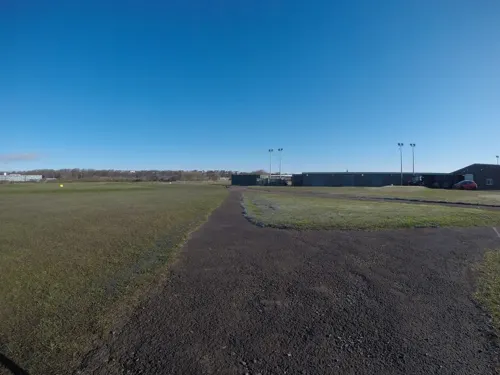
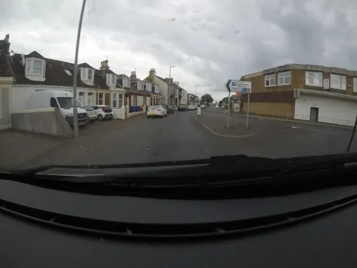

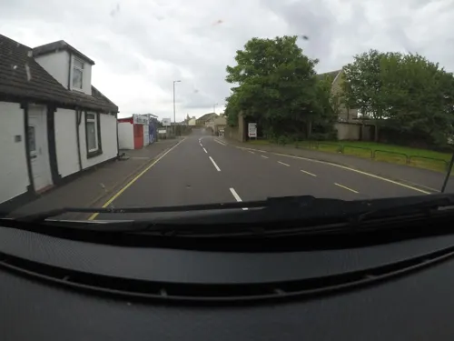
2 more on the map.
Parks, trails and playgrounds7

Eglinton Country Park
Park · 3.2 mi
Country park in North Ayrshire, Scotland, UK
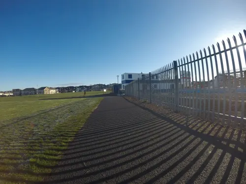



Ardeer Beach
Beach · 1.5 mi
By local custom, the naturist section of the beach starts to the right of the Robert Burns mural (facing the painting) and extends in a...
Restaurants and cafes13
Melbourne Fry
Fast food · Fish And Chips · 1.5 mi
3 Winton Street, Saltcoats
Mo-Su 16:00-21:00

The Salt Cot
Bar and pub · 1.5 mi
7 Hamilton Street, Saltcoats
Mo,Tu,We,Th,Su 08:00-24:00; Fr,Sa 08:00-25:00


The Eglinton Diner & Fish Fry
Fast food · Fish And Chips · 1.5 mi
28-30 Windmill Street, Saltcoats
Mo-Su 12:00-21:00
1 more on the map.
History
The town is named after Stephan Loccard or Lockhart, whose father obtained a grant of land from Richard de Morville, Lord of Cunninghame and Constable of Scotland, around 1170. The town is first mentioned in a charter of c. 1240.
The Castle Hill near Hullerhirst may have once been the site of a small stone tower. Under a sand mound near Dubbs a stone pavement, coffin, and large boulder were discovered in 1832. Numerous flint tools have been found in the sands of Ardeer.
The town's main link with Robert Burns is that Mayville House was the birthplace in 1768 of Miss Lesley Baillie. Robert Burns met her in 1792 and described her to a friend as "the most beautiful, most elegant woman in the world". She inspired one or two of his love poems, in which she is described as 'Bonnie Lesley'. A memorial now stands in her memory and is situated between Sinclair Street and Glencairn Street.
To the north of the town sits the ruin of Kerelaw Castle, with a history spanning over 800 years. Nearby was Kerelaw House, once home to the family of Alexander Hamilton and later the family of Kenneth Campbell VC RAFVR; however, the house was demolished in the early 1970s.
A hamlet known as Piperheugh once existed near Woodhead Plantation and Ardeer Steading. It was famed for the manufacture of trumps or Jew's harps.
Read more of the history
The regeneration of Irvine Bay includes the development of Stevenston Business Centre on the site of the former Grange Bingo Hall.
Deucathall or Dovecothall was the previous mansion house at this site, standing in the Hillcrest Drive area, but now totally demolished. It was the residence of George Campbell, a relation of the Loudoun branch of that clan. The new Georgian-style mansion, Ardeer House was located near to the Ardeer
Bowling Club and after being sold to Nobels' in 1929 it was used as the Nobel Recreation Centre for some years, but was sadly demolished in 1968. One of the most distinguished owners in the later 17th century was the covenanter Patrick Warner, a minister who was forced to escape to Holland after the Battle of Bothwell Bridge. These houses once stood on the sea coast and the site is said to have been a favourite anchorage ground, fragments of boats and anchors having been found at various points here and further inland. A sea-washed cave is located a little behind the house. The field behind the mansion house was once called the Temple Field. A miniature rifle range was once located in the old walled gardens.
The Revd. Patrick Warner had picked up skills in land reclamation during his exile in Holland and his first act was to drain the bogs by cutting the Master Gott, linking several small lochans or dubbs, and it was this drain that was later partly incorporated into the Stevenston Canal.
A cave exists at the site of the old mansion, and remains of a dressed stone frame for an iron grille over a hole in the cave roof suggested its use as a grotto in the 19th century. The visible remains suggested a souterrain, but the absence of records of these in south-west Scotland make this unlikely. The passage is lined with corbelled drystone walling, roofed with capstones, and leads into the natural cave section which may have been formed by wave action as it shows a water-scoure created by wave action. Some areas of undisturbed stratified deposits have been found, together with evidence of occupation, such as a hearth, bones, and a fragment of glass.
From the History section of Stevenston on Wikipedia, under CC BY-SA 4.0.
Notable people from Stevenston
 William LandsboroughExplorer of Australia (1825–1886)Photo: Unknown author Unknown author, Public domain
 GradoScottish professional wrestlerPhoto: Tabercil, CC BY-SA 3.0
 Lesley BailliePhoto: Rosser1954 Roger Griffith, CC BY-SA 3.0
- Andy AuldAmerican soccer player (1900–1977)
- Stuart BeattieScottish footballer (born 1967)
- James VanceScottish footballer (1877-?)
- James ScottScottish footballer, born 1882
- Bobby BeattieBritish association football player (1916-2002)
- Alexander ThomBritish association football player (1894-1973)
- Jim McCaffertyScottish footballer (1900-1981)
- Henry DornanScottish footballer (1916-1990)
- Johnny Campbellfootballer (1910-1999)
Born in Stevenston, according to Wikidata (CC0). Each name links to its Wikipedia article.
Where to stay2
Churches and places of worship6
Shopping5
Gas and EV charging3
Schools, colleges and libraries12
Map of Stevenston
63 places. The map loads OpenStreetMap tiles when you open it.
Getting there and nearby towns
Glasgow Prestwick Airport (PIK) is the nearest airport with scheduled flights listed in OpenStreetMap, 11 miles away.
- Saltcoats 1 mi west, about 2 min by car
- Kilwinning 2 mi northeast, about 3 min by car
- Ardrossan 2 mi west, about 4 min by car
- Irvine 4 mi east, about 7 min by car
- West Kilbride 5 mi northwest, about 9 min by car
- Springside 7 mi east, about 11 min by car
- Troon 8 mi southeast, about 12 min by car
- Fairlie 9 mi northwest, about 14 min by car
- Kilmarnock 10 mi east, about 16 min by car
- Largs 12 mi north, about 19 min by car
Drive times are estimates from straight-line distance, not routes.
Towns near Stevenston


Keep exploring
Local news
Headlines from INDB.
Reviews, tips and questions
Loading what members have shared...
Sources and licences
- GeoNames (CC BY 4.0): population, coordinates, regions and time zone
- Mapillary (see each image): photos
- OpenStreetMap contributors (ODbL 1.0): places, airports, map data
- Wikidata (CC0 1.0): elevation, founding date, time zone, website, landmarks and historic places
- Wikimedia Commons (see each image): photos
- Wikipedia (CC BY-SA 4.0): overview and history text
Photo credits
- Stevenston, Chris Court, CC BY-SA 2.0
- Restored Tournament Bridge 1980, Rosser ( talk ), Public domain
- Dalgarvenoldmill2, Rosser1954 at English Wikipedia, Public domain
- TheBigIdeaIrvine, Leslie Barrie, CC BY-SA 2.0
- Aerial view of Eglinton, Ayrshire, Scotland., Rosser ( talk ), Public domain
- Kilwinning abbey tower, Rosser1954 Roger Griffith, Public domain
- Kerelaw castle Livingston's Laburnum, Rosser1954 - Roger Griffith, Public domain
- St. Matthew's Academy, Saltcoats, MWhite148 ( talk ), Public domain
- Kerelaw castle, The original uploader was Dreamer84 at English Wikipedia ., CC BY 2.5
- 05266 Ex Free Church, Ardeer 001, WeeHolly, CC BY-SA 4.0
- Street-level photo, hobgoblin, CC BY-SA 4.0
- Street-level photo, mfk, CC BY-SA 4.0
- Street-level photo, mfk, CC BY-SA 4.0
- Street-level photo, mfk, CC BY-SA 4.0
- Street-level photo, mfk, CC BY-SA 4.0
- Street-level photo, mfk, CC BY-SA 4.0
- Street-level photo, mfk, CC BY-SA 4.0
- Street-level photo, mfk, CC BY-SA 4.0
- Street-level photo, mfk, CC BY-SA 4.0
- Street-level photo, toho, CC BY-SA 4.0
- Street-level photo, mfk, CC BY-SA 4.0
- Street-level photo, mfk, CC BY-SA 4.0
- Street-level photo, mfk, CC BY-SA 4.0
- Street-level photo, mfk, CC BY-SA 4.0
- Street-level photo, hobgoblin, CC BY-SA 4.0
- Street-level photo, mfk, CC BY-SA 4.0
- Street-level photo, mfk, CC BY-SA 4.0
- Street-level photo, mfk, CC BY-SA 4.0
- Street-level photo, mfk, CC BY-SA 4.0
- Street-level photo, mfk, CC BY-SA 4.0

Page built November 10, 2026. Spotted a mistake? Tell us or suggest a place.