


Why visit Irvine
Townapedia lists 40 museums and landmarks, 27 parks and trails, 28 places to eat, 4 places to stay and 3 attractions in and around town.
Highlights include Eglinton Tournament Bridge, Laigh Milton Viaduct, Scottish Maritime Museum and The Big Idea.
Weather in Irvine
Forecast from MET Norway (CC BY 4.0). Full forecast
About Irvine
Irvine ( UR-vin; Scots: Irvin [ˈɪrvɪn]; Scottish Gaelic: Irbhinn [ˈiɾʲivɪɲ]) is a town and former royal burgh on the coast of the Firth of Clyde in North Ayrshire, Scotland. In 2022, The town had a population of 33,998 inhabitants, making it the largest settlement in North Ayrshire, and 22nd largest settlement in Scotland.
From the Wikipedia article Irvine, North Ayrshire (this version), under CC BY-SA 4.0.
Travel tips from other travellers: Irvine on Wikivoyage (CC BY-SA 4.0).
Photos of Irvine


Things to do3

Eglinton Tournament Bridge
Bridge · 1.8 mi
Footbridge in North Ayrshire, Scotland, UK, across Lugton Water

Laigh Milton Viaduct
Bridge · 3.7 mi
Railway viaduct near Gatehead, East Ayrshire, Scotland

Museums and landmarks40

Scottish Maritime Museum
Museum · 1.1 mi
Maritime museum in Irvine and Dumbarton, Scotland, United Kingdom

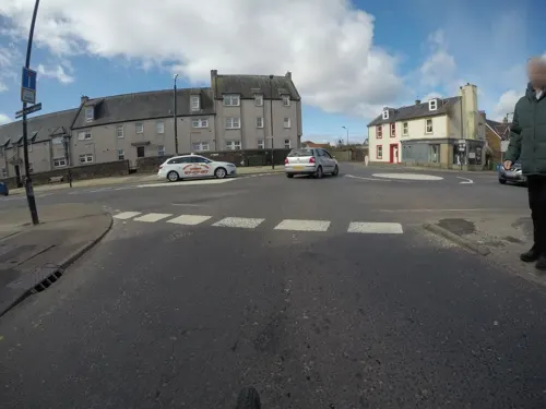


28 more on the map.
Parks, trails and playgrounds27

Eglinton Country Park
Park · 1.7 mi
Country park in North Ayrshire, Scotland, UK
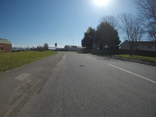




15 more on the map.
Restaurants and cafes28
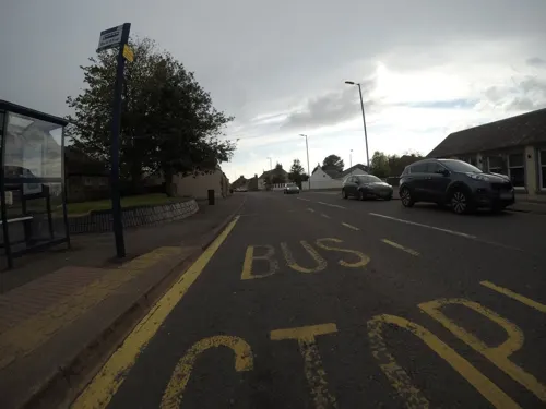
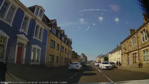
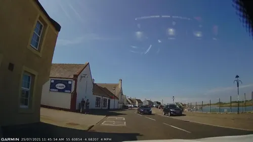
Small Talk
Cafe · 1.3 mi
54 Harbour Street, Irvine
Mo-Fr 10:00-16:00; Sa,Su 10:00-16:30
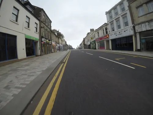


The Auld Brig
Bar and pub · 0.8 mi
Fullarton Street, Irvine
Mo,Tu,We,Th,Su 08:00-24:00; Fr,Sa 08:00-25:00

16 more on the map.
History
Part of modern Irvine contains the oldest continually inhabited village in Europe. Dreghorn, a separate village on the outskirts of Irvine, appears to contain archaeological remains dating back to the first incursions of humanity into Scotland (Mesolithic). Iron Age Hill forts are abundant around Dreghorn.
The Grannie stone (or Granny Stane) is described as "one of Irvine's prehistoric puzzles", this boulder is either left behind from the Ice Age or is the last remaining stone of a stone circle; others were removed, by blasting, after the Irvine weir was constructed in 1895, but popular protests saved this remaining stone. The Grannie Stane is visible when the water is low.
The medieval parish of Irvine was one of the most important regions in Scotland. Originally the site of the Military Headquarters of the Lord High Constable of Scotland, and one of the earliest Scottish Capitals, it served as an HQ to no fewer than three kings. King John I of Scotland inherited the lordship of Irvine sometime in the mid-13th century. Robert the Bruce, in an attempt to seize John's lands, made sure that he secured the town. From Bruce, it passed to his grandson Robert the Steward, future King Robert II of Scotland.
Read more of the history
Irvine is the site of an incident in 1296 (during the Scottish Wars of Independence) when an English army marched to Irvine to engage the Scottish army, encamped at Knadgerhill; the English arrived only to find that dissension amongst the Scots leaders was so great that armed conflict would not occur, and many of the leaders would end up changing sides and joining King Edward I. Bourtreehill House, the only major Estate in the parish, was periodically possessed by all three kings, and possibly the Constables of Scotland before them.
In 1618, John Stewart (said to be a vagabond or juggler) and Margaret Barclay, wife of Archibald Dean (a burgess of Irvine), were tried for witchcraft. They were accused of sinking a ship called The Gift of God of Irvine belonging to John Dean, Barclay's brother-in-law. Margaret Barclay was alleged to have wished the crew would be eaten by crabs at the bottom of the sea. Stewart hanged himself, and Barclay was tortured, found guilty by her confession, and executed along with Isobel Scherer, herself accused of the same acts.
Trindlemoss Loch, Scotts Loch, or the Loch of Irvine was situated in a low-lying area running from Ravenspark to near Stanecastle and down to Lockwards, now represented only by the playing fields off Bank Street. The loch was natural, sitting in a hollow created by glaciation. The loch waters were progressively drained and in 1691 this was finally achieved. The loch and its adjacent land was purchased by the Reverend Patrick Warner (minister in Irvine 1688–1702), who had sought refuge in the Netherlands after the Battle of Bothwell Bridge. It has been suggested that it was during this exile that he learned the skill of land reclamation.
The harbour for Irvine has a long history and once was one of the most prominent ports in Scotland after Glasgow. Across from the main harbour itself there was a terminal for the ICI-Nobel Explosives plant on the River Garnock. Much of the harbour went into decline in the 19th century when Glasgow, Greenock and Port Glasgow achieved higher prominence as sea ports. Despite this, there was still commercial sea traffic, though the harbour went into further decline in the 20th century. The main shipping in the 20th century was light coastal traffic and vessels destined for the Nobel Explosives facility. This facility had its own quay, which, although now disused, is still visible from Irvine Harbour. A shipyard on the River Irvine, the Ayrshire Dockyard Company, remained active until after World War II, though its last ship was built just prior to the war. Afterwards it was involved in refitting ships and also in the manufacture of fittings for other vessels including the Cunard liner Queen Elizabeth 2. Irvine Harbour is now officially closed as a commercial port and houses a small number of privately owned pleasure craft. It is also home to part of the Scottish Maritime Museum with numerous vessels on display, including the 'Spartan', one of the last surviving Clyde puffers.
Irvine Harbour is home to a unique and distinctive building which marked the tide level. It was built in 1906 and devised by Martin Boyd, the harbourmaster at that time. The Automatic tide signalling apparatus indicated the tide's state in two ways depending on the time of day. During daylight, the level was marked with a ball and pulley system attached to the mast. At night, a number of lamps marked the tidal level. Unfortunately the building fell into some disrepair and the mast partially dismantled. In 2013 an initiative by Coastwatch Scotland, a Voluntary Coastal Monitoring and Safety organisation, got underway in an attempt to turn the building into a watch tower for the benefit of the people of Irvine and visitors. In November 2016 the first stage was completed with an overall roof installed, new windows, a new door, the building re-painted and a radio aerial installed.
The harbour and surrounding area became an area heavily blighted by industrial waste even long after some of the industries were gone. There was a waste bing known by the locals as 'The Blue Billy' due to the colour of the waste there. During World War II a Royal Observer Corps watchtower was sited here giving a wide overall view of the Firth of Clyde. It is also credited with the first visual sighting of Rudolf Hess's Messerschmitt Bf 110 in 1941. The Annual Report of the Fishery Board for 1913 provides an insight into fishing from Irvine in the Firth of Clyde at that time. They caught herrings, mackerel, codlings and flounders.
From the History section of Irvine, North Ayrshire on Wikipedia, under CC BY-SA 4.0.
More about Irvine
Geography
Irvine is situated in low lying Ayrshire overlooking Irvine Bay on the Firth of Clyde. It is a coastal town and lies approximately 25 miles (40 km) southwest of Glasgow. Most of the land in and around Irvine is very flat. Two rivers flow through the area, one being the River Irvine and the other being the Annick Water. The Annick Water is very popular for fishing.
The area experiences relatively cool, wet summers and cold, wet winters, although snow in the area is not uncommon. Part of the reason why this part of Scotland is particularly mild is the influence from the sea air, with summer temperatures lower than their continental counterparts and only slightly warmer than their continental counterparts during the winter. Generally, rainfall is plentiful throughout the year due to Atlantic weather systems sweeping in from the west. Snow is not rare in this part of Scotland and in many cases brings the area to a halt, like in 1995 and winter 2009/10.
Surrounding villages and hamlets around the vicinity of Irvine include Bourtreehill, Bourtreehill House, Lands of Broomlands, Cleeves Cove, Dreghorn, Drukken Steps, Eglinton Country Park, Girdle Toll, Irvine Harbour, Irvine New Town Trail, Laigh Milton Viaduct, Springside, Towerlands, The Chapel Well and Tanzie Well.
Arts and culture
As part of the Millennium celebrations, an exhibition known as The Big Idea opened in 2000. It was constructed on the north side of the River Irvine near the former Nobel quay. A footbridge from the harbour area was constructed, although it had to be able to open and close to still allow the small pleasure craft to pass. The Big Idea closed in 2003, due to low visitor numbers.
North Ayrshire's theatre and arts centre was built here in 1966, and plays hosts to touring drama, live music and exhibitions. The hulk of the historic clipper ship, City of Adelaide, was moved to a dry dock near the inner harbour in 1992. There were various proposals for preserving the ship, and in March 2012 preparations were under way to move the ship to Adelaide, South Australia, for conservation and display. On 18 September 2013, the City of Adelaide started its final journey to Adelaide, South Australia.
Irvine is home to two football teams: Irvine Victoria and Irvine Meadow. The local rugby union team is Irvine RFC. The town used to have two greyhound racing tracks: the Townhead Greyhound Track, closed in 1967 and the Irvine Caledonian Stadium, closed in 1993. The horse racing Bogside Racecourse was closed in 1965.
From the Wikipedia article Irvine, North Ayrshire, under CC BY-SA 4.0.
Notable people from Irvine
 Nicola SturgeonFirst Minister of Scotland from 2014 to 2023Photo: Scottish Government, CC BY 2.0
 Billy GilmourScottish association football playerPhoto: Mattythewhite, CC BY-SA 4.0
 Kris BoydScottish association football player (born 1983)Photo: Alex Lister, CC BY-SA 3.0
 Jack McConnellpolitician (born 1960)Photo: Roger Harris, CC BY 3.0
 Ross StewartScottish association football playerPhoto: Bryan Berlin, CC BY-SA 4.0
 James MontgomeryBritish poet and writer (1771–1854)Photo: Henry Richard Cook, Public domain
 Craig ConwayScottish association football playerPhoto: Jon Candy from Cardiff, Wales, CC BY-SA 2.0
- Steven NaismithScottish association football manager (born 1986)
- Steve NicolScottish football manager (born 1961)
- Roy AitkenScottish footballer (born 1958)
- Matty KennedyScottish footballer
- Steph CookBritish modern pentathlete
Born in Irvine, according to Wikidata (CC0). Each name links to its Wikipedia article.
Where to stay4
Churches and places of worship9
Shopping9
Gas and EV charging5
Schools, colleges and libraries17
Healthcare5
Map of Irvine
147 places. The map loads OpenStreetMap tiles when you open it.
Getting there and nearby towns
Glasgow Prestwick Airport (PIK) is the nearest airport with scheduled flights listed in OpenStreetMap, 9 miles away.
- Kilwinning 3 mi northwest, about 5 min by car
- Troon 5 mi south, about 8 min by car
- Saltcoats 5 mi west, about 8 min by car
- Kilmarnock 6 mi east, about 10 min by car
- Prestwick 10 mi south, about 15 min by car
- Largs 15 mi northwest, about 24 min by car
- Johnstone 15 mi north, about 25 min by car
- Newton Mearns 16 mi northeast, about 26 min by car
- Paisley 17 mi northeast, about 27 min by car
- Glasgow 23 mi northeast, about 37 min by car
Drive times are estimates from straight-line distance, not routes.
Towns near Irvine


Keep exploring
Local news
Headlines from INDB.
Reviews, tips and questions
Loading what members have shared...
Sources and licences
- GeoNames (CC BY 4.0): population, coordinates, regions and time zone
- Mapillary (see each image): photos
- OpenStreetMap contributors (ODbL 1.0): places, airports, map data
- Wikidata (CC0 1.0): elevation, founding date, time zone, website, landmarks and historic places
- Wikimedia Commons (see each image): photos
- Wikipedia (CC BY-SA 4.0): overview and history text
Photo credits
- Eglinton Street, Irvine, Rosser1954, CC BY-SA 3.0
- 09864 Church of Jesus Christ of the Latter Day Saints, Irvine 002, WeeHolly, CC BY-SA 4.0
- 09864 Church of Jesus Christ of the Latter Day Saints, Irvine 004, WeeHolly, CC BY-SA 4.0
- 09864 Church of Jesus Christ of the Latter Day Saints, Irvine 005, WeeHolly, CC BY-SA 4.0
- 09864 Church of Jesus Christ of the Latter Day Saints, Irvine 001, WeeHolly, CC BY-SA 4.0
- 06028 St Andrew's Parish & St Peter's Episcopal Church, Irvine 017, WeeHolly, CC BY-SA 4.0
- 06028 St Andrew's Parish & St Peter's Episcopal Church, Irvine 004, WeeHolly, CC BY-SA 4.0
- 06028 St Andrew's Parish & St Peter's Episcopal Church, Irvine 011, WeeHolly, CC BY-SA 4.0
- 06028 St Andrew's Parish & St Peter's Episcopal Church, Irvine 003, WeeHolly, CC BY-SA 4.0
- 06028 St Andrew's Parish & St Peter's Episcopal Church, Irvine 006, WeeHolly, CC BY-SA 4.0
- 06028 St Andrew's Parish & St Peter's Episcopal Church, Irvine 010, WeeHolly, CC BY-SA 4.0
- 06028 St Andrew's Parish & St Peter's Episcopal Church, Irvine 014, WeeHolly, CC BY-SA 4.0
- 06028 St Andrew's Parish & St Peter's Episcopal Church, Irvine 009, WeeHolly, CC BY-SA 4.0
- 06028 St Andrew's Parish & St Peter's Episcopal Church, Irvine 001, WeeHolly, CC BY-SA 4.0
- 06028 St Andrew's Parish & St Peter's Episcopal Church, Irvine 002, WeeHolly, CC BY-SA 4.0
- 06028 St Andrew's Parish & St Peter's Episcopal Church, Irvine 016, WeeHolly, CC BY-SA 4.0
- 06028 St Andrew's Parish & St Peter's Episcopal Church, Irvine 015, WeeHolly, CC BY-SA 4.0
- 06028 St Andrew's Parish & St Peter's Episcopal Church, Irvine 018, WeeHolly, CC BY-SA 4.0
- 06028 St Andrew's Parish & St Peter's Episcopal Church, Irvine 007, WeeHolly, CC BY-SA 4.0
- Restored Tournament Bridge 1980, Rosser ( talk ), Public domain
- Laighmilton5, Rosser1954 at English Wikipedia, Public domain
- Linthousebuilding2, Rosser1954 at English Wikipedia, Public domain
- Kilwinning abbey tower, Rosser1954 Roger Griffith, Public domain
- TheBigIdeaIrvine, Leslie Barrie, CC BY-SA 2.0
- Aerial view of Eglinton, Ayrshire, Scotland., Rosser ( talk ), Public domain
- Greenwood Academy, Dreghorn, Billy McCrorie, CC BY-SA 2.0
- Trindlemoss - Irvine Central - Football, Rosser1954 Roger Griffith, CC BY-SA 3.0
- Irvineoldparishchurch, Rosser1954 at en.wikipedia, Public domain
- 01776 Old Parish Church, Irvine, Ayrshire 017, WeeHolly, CC BY-SA 4.0
- Irvine Central, Irvine, Ian Rainey, CC BY-SA 2.0
- Irvine Royal Academy, Irvine, Mary and Angus Hogg, CC BY-SA 2.0
- NS3438 - Greenwood Academy, Dreghorn, Billy McCrorie, CC BY-SA 2.0
- Street-level photo, mfk, CC BY-SA 4.0
- Street-level photo, mfk, CC BY-SA 4.0
- Street-level photo, mfk, CC BY-SA 4.0
- Street-level photo, mfk, CC BY-SA 4.0
- Street-level photo, mfk, CC BY-SA 4.0
- Street-level photo, mfk, CC BY-SA 4.0
- Street-level photo, gmc, CC BY-SA 4.0
- Street-level photo, mfk, CC BY-SA 4.0
- Street-level photo, mfk, CC BY-SA 4.0
- Street-level photo, mfk, CC BY-SA 4.0
- Street-level photo, gmc, CC BY-SA 4.0
- Street-level photo, mfk, CC BY-SA 4.0
- Street-level photo, mfk, CC BY-SA 4.0
- Street-level photo, mfk, CC BY-SA 4.0


Page built November 10, 2026. Spotted a mistake? Tell us or suggest a place.