


Tal-y-bont, United Kingdom
Tal-y-bont is a town of 1,540 people in Wales, United Kingdom.
Why visit Tal-y-bont
Townapedia lists 12 museums and landmarks, 1 park or trail, 9 places to eat, 24 places to stay and 1 attraction in and around town.
Highlights include Tumulus and Llecheiddior Stone Circle.
Weather in Tal-y-bont
Forecast from MET Norway (CC BY 4.0). Full forecast
About Tal-y-bont
Tal-y-bont (otherwise Talybont) is a village north of the town of Barmouth in north Wales.
From the Wikipedia article Tal-y-bont, Dyffryn Ardudwy (this version), under CC BY-SA 4.0.
Things to do1

Museums and landmarks12

Parks, trails and playgrounds1

Restaurants and cafes9
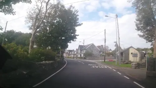
Tony's Take-away. Pizza & Pasta
Restaurant · Italian
Ffordd Ysgethin, Talybont
17:00-22:30; 18:00-20:00
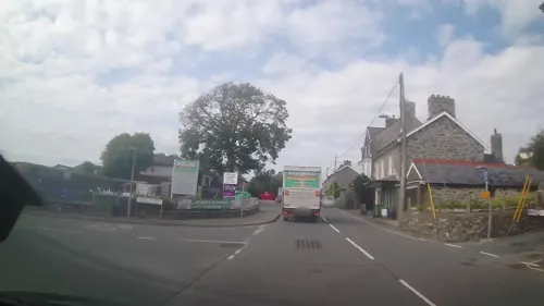

Ysgethin Inn
Bar and pub
Llwyn Ynn, Talybont
Mo 16:00-22:00; Tu Off; We 16:00-22:00; Th-Su 12:00-22:00



Notable people from Tal-y-bont
- R. Geraint GruffyddWelsh academic (1928–2015)
Born in Tal-y-bont, according to Wikidata (CC0). Each name links to its Wikipedia article.
Where to stay24
Churches and places of worship5
Shopping1
Schools, colleges and libraries1
Map of Tal-y-bont
54 places. The map loads OpenStreetMap tiles when you open it.
Getting there and nearby towns
RAF Valley - Anglesey Airport (VLY) is the nearest airport with scheduled flights listed in OpenStreetMap, 37 miles away.
- Dyffryn Ardudwy 1 mi east, about 2 min by car
- Barmouth 4 mi south, about 6 min by car
- Harlech 6 mi north, about 9 min by car
- Dolgellau 9 mi east, about 14 min by car
- Porthmadog 11 mi north, about 17 min by car
- Penrhyndeudraeth 11 mi north, about 18 min by car
- Criccieth 12 mi northwest, about 19 min by car
- Tywyn 13 mi south, about 21 min by car
- Pwllheli 16 mi northwest, about 25 min by car
- Blaenau-Ffestiniog 17 mi northeast, about 27 min by car
Drive times are estimates from straight-line distance, not routes.
Towns near Tal-y-bont


Keep exploring
Local news
Headlines from INDB.
Reviews, tips and questions
Loading what members have shared...
Sources and licences
- GeoNames (CC BY 4.0): population, coordinates, regions and time zone
- Mapillary (see each image): photos
- OpenStreetMap contributors (ODbL 1.0): places, airports, map data
- Wikidata (CC0 1.0): elevation, founding date, time zone, website, landmarks and historic places
- Wikimedia Commons (see each image): photos
- Wikipedia (CC BY-SA 4.0): overview and history text
Photo credits
- Tal-y-bont Mill, Dave.Dunford, CC BY-SA 4.0
- St.MaryAndBodfanBarmouth1, Helge Klaus Rieder, CC BY-SA 4.0
- Church of St Dwywe, Dyffryn Ardudwy, Pjposullivan, CC BY-SA 3.0
- Fallen oak tree bark, Hefin Owen, CC BY-SA 2.0
- Egryn Abbey Farm - 30th May 2013 - panoramio, Forester2009, CC BY-SA 3.0
- Street-level photo, trigpoint, CC BY-SA 4.0
- Street-level photo, trigpoint, CC BY-SA 4.0
- Street-level photo, trigpoint, CC BY-SA 4.0
- Street-level photo, trigpoint, CC BY-SA 4.0
- Street-level photo, trigpoint, CC BY-SA 4.0
Page built November 10, 2026. Spotted a mistake? Tell us or suggest a place.