

Why visit Thurlby
Townapedia lists 8 museums and landmarks, 8 parks and trails, 4 places to eat and 1 place to stay in and around town.
Highlights include Car Dyke, Car Dyke, Baston Fen and The Toft Country House Hotel and Golf Club.
Weather in Thurlby
Forecast from MET Norway (CC BY 4.0). Full forecast
About Thurlby
Thurlby is a village and civil parish in the South Kesteven district of Lincolnshire, England. It is situated just west of the A15 road, 2 miles (3 km) south from the town of Bourne, and on the edge of the Lincolnshire Fens. It is sometimes referred to as Thurlby by Bourne to distinguish it from other villages in Lincolnshire with the same name. Thurlby and the hamlet of Northorpe to its north are conjoined.
From the Wikipedia article Thurlby, South Kesteven (this version), under CC BY-SA 4.0.
Museums and landmarks8

Wood Lane
Monument and historic site · 1.0 mi
Course of the defunct Bourne-Essendine Railway
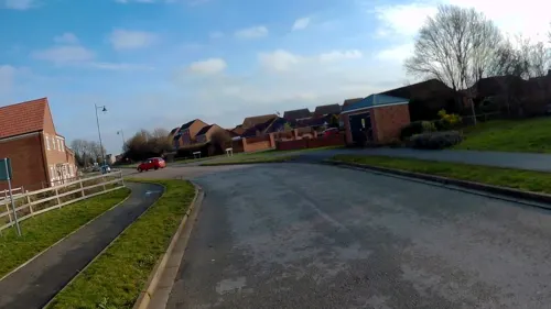
Parks, trails and playgrounds8
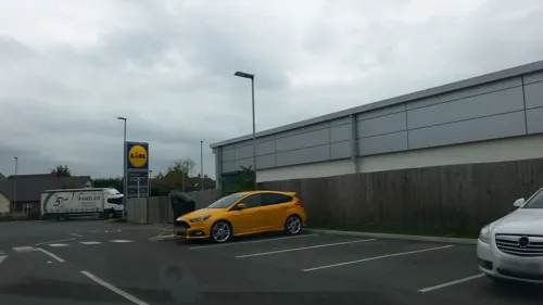
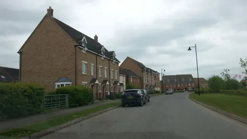



Restaurants and cafes4

Where to stay1

History
The Roman Car Dyke passes through the parish to the east of the road. The A15 road itself broadly follows the route of the Roman Road King street.
The church of St Firmin dates back to before the Norman Conquest, reportedly to 925 AD. It has features of Saxo-Norman and Perpendicular style.
Thurlby is mentioned in the 1086 Domesday survey as "Tvrolvebi", "Tvrodldbi", "Torulfbi" and "Turoluebi".
A Methodist chapel, Trinity Methodist Church, was established in 1912.
Thurlby railway station was on the Bourn and Essendine Railway; it opened in 1860 and closed in 1951. The railway workers cottages 3 to 9 Station Road, built in 1866 are nearly the oldest properties in the village, they were famously hit by an air bus in the 1920s.
From the History section of Thurlby, South Kesteven on Wikipedia, under CC BY-SA 4.0.
More about Thurlby
Geography
Geographically Thurlby is on the western edge of The Lincolnshire Fens, and Thurlby Fen, to the east of the A15, falls within the drainage area of the Welland and Deepings Internal Drainage Board.
Thurlby lies between Bourne and Baston. Most of the village lies to the west of the A15 road but a part, including the parish church, is to the east. The parish includes Northorpe, which is continuous with Thurlby, and the outlying hamlets of Obthorpe and Kate's Bridge. The ecclesiastical parish of Thurlby shares the same boundaries as the civil parish.
From the Wikipedia article Thurlby, South Kesteven, under CC BY-SA 4.0.
Churches and places of worship6
Kingdom Hall of Jehovah's Witnesses
Church · Jehovahs Witness · 1.5 mi
Victor Way, Bourne
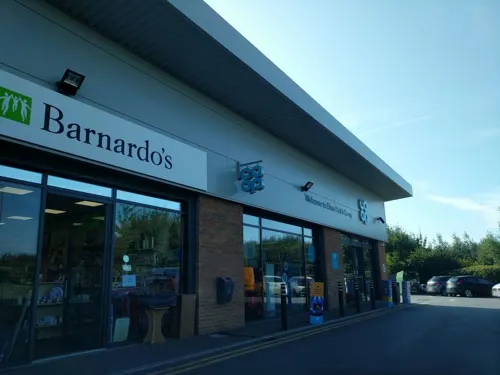
Shopping3
Gas and EV charging2
Schools, colleges and libraries1
Map of Thurlby
33 places. The map loads OpenStreetMap tiles when you open it.
Getting there and nearby towns
RAF Coningsby (QCY) is the nearest airport with scheduled flights listed in OpenStreetMap, 26 miles away.
- Bourne 2 mi north, about 3 min by car
- Baston 2 mi southeast, about 3 min by car
- Market Deeping 5 mi southeast, about 8 min by car
- Ryhall 5 mi southwest, about 8 min by car
- Stamford 8 mi southwest, about 12 min by car
- Glinton 8 mi southeast, about 12 min by car
- Corby Glen 8 mi northwest, about 12 min by car
- Wittering 9 mi south, about 15 min by car
- Spalding 10 mi east, about 16 min by car
- Peterborough 13 mi southeast, about 20 min by car
Drive times are estimates from straight-line distance, not routes.
Towns near Thurlby


Keep exploring
Local news
Headlines from INDB.
Reviews, tips and questions
Loading what members have shared...
Sources and licences
- GeoNames (CC BY 4.0): population, coordinates, regions and time zone
- Mapillary (see each image): photos
- OpenStreetMap contributors (ODbL 1.0): places, airports, map data
- Wikidata (CC0 1.0): elevation, founding date, time zone, website, landmarks and historic places
- Wikimedia Commons (see each image): photos
- Wikipedia (CC BY-SA 4.0): overview and history text
Photo credits
- Wake arms and Wake Knot, Roof Boss, Bourne Abbey, Lincolnshire, Bob Harvey, CC BY-SA 2.0
- Street-level photo, adam2, CC BY-SA 4.0
- Street-level photo, jpennycook, CC BY-SA 4.0
- Street-level photo, IpswichEdits, CC BY-SA 4.0
- Street-level photo, adam2, CC BY-SA 4.0
- Street-level photo, IpswichEdits, CC BY-SA 4.0
- Street-level photo, adam2, CC BY-SA 4.0
- Street-level photo, adam2, CC BY-SA 4.0
- Street-level photo, adam2, CC BY-SA 4.0
- Street-level photo, adam2, CC BY-SA 4.0
- Street-level photo, adam2, CC BY-SA 4.0
- Street-level photo, jpennycook, CC BY-SA 4.0
- Street-level photo, adam2, CC BY-SA 4.0
Page built November 10, 2026. Spotted a mistake? Tell us or suggest a place.