


Wittering, United Kingdom
Wittering is a town of 2,348 people in England, United Kingdom.
Why visit Wittering
Townapedia lists 2 museums and landmarks, 5 parks and trails and 5 places to eat in and around town.
Highlights include Burghley House, Barnack Hills & Holes National Nature Reserve and Southorpe Meadow.
Weather in Wittering
Forecast from MET Norway (CC BY 4.0). Full forecast
About Wittering
Wittering is a village and civil parish in the City of Peterborough unitary authority area in the ceremonial county of Cambridgeshire, England. The village is about 3 miles (5 km) south of the market town of Stamford in neighbouring Lincolnshire and about 9 miles (14 km) west of Peterborough's urban sprawl.
From the Wikipedia article Wittering, Cambridgeshire (this version), under CC BY-SA 4.0.
Museums and landmarks2

Burghley House
Museum · 2.5 mi
Grand sixteenth-century country house near Stamford, Lincolnshire, England, UK
Parks, trails and playgrounds5

Barnack Hills & Holes National Nature Reserve
Park · 1.8 mi
UK nature reserve



Old Sulehay Forest
Park · 2.3 mi
Nature reserve in the United Kingdom
Restaurants and cafes5
Churches and places of worship4

St Martin's Church, Stamford
Church · 3.3 mi
Church in Stamford, Lincolnshire, England, UK

St John the Baptist's Church, Barnack
Church · 2.3 mi
Grade I listed church in Barnack, Peterborough, Cambridgeshire, England, UK
History
The village of Wittering was first attested in 972 AD as Wiðering ige, the settlement of the people of Wiðer. The "people of Wiðer" are believed to be the same as the "Widerigga", named in the Tribal Hidage that was compiled between 600 and 900 AD. This territory comprised 600 hides, so may have consisted of most of Peterborough and possibly neighbouring areas of Northamptonshire and Huntingdonshire. By the time of the Domesday Book in 1086 it comprised 44 households and was owned by the Abbey of Peterborough.
The Church of England parish church of All Saints was built between 950 – 981 AD. Surviving Anglo-Saxon parts of the building include the south wall of the nave, the east end of the chancel and the very substantial chancel arch.
As originally built the church would have had no aisles. In the middle of the 12th century a Norman north aisle was added, linked with the nave by a two-bay north arcade. The present south doorway of the nave, and the east and south windows of the chancel are late 13th century Decorated Gothic insertions. The ashlar west tower is late 13th or early 14th century. In the 14th century the north aisle was rebuilt and the north chapel was added. The north chapel has an early 14th-century tomb recess. The tall Perpendicular Gothic windows in the south wall of the nave were inserted later in the Middle Ages.
Read more of the history
The south porch was added in the 19th century and the stained glass east window was made by C.E. Kempe in 1903. The vestry was added in 1969. Apart from the tower, the church is roofed with Collyweston stone slates. All Saints' is a Grade I listed building.
The west tower has a ring of six bells. The fourth bell was cast at Leicester in about 1399. The bellfounder Tobias III Norris of Stamford cast the third and fifth bells in 1681. John Taylor & Co of Loughborough cast the treble, second and tenor bells in 1974.
All Saints' parish is now part of a single benefice with the parishes of Barnack with Ufford, Bainton, and Helpston.
From the History section of Wittering, Cambridgeshire on Wikipedia, under CC BY-SA 4.0.
Gas and EV charging1
Schools, colleges and libraries1
Map of Wittering
18 places. The map loads OpenStreetMap tiles when you open it.
Getting there and nearby towns
Sywell Aerodrome (ORM) is the nearest airport with scheduled flights listed in OpenStreetMap, 25 miles away.
- Stamford 3 mi northwest, about 6 min by car
- Easton on the Hill 3 mi northwest, about 5 min by car
- Castor 5 mi southeast, about 7 min by car
- Ryhall 6 mi north, about 9 min by car
- Glinton 6 mi east, about 10 min by car
- Market Deeping 7 mi northeast, about 11 min by car
- Peterborough 8 mi east, about 14 min by car
- Baston 8 mi northeast, about 13 min by car
- Bourne 11 mi north, about 18 min by car
- Corby 13 mi southwest, about 21 min by car
Drive times are estimates from straight-line distance, not routes.
Towns near Wittering


Keep exploring
Local news
Headlines from INDB.
Reviews, tips and questions
Loading what members have shared...
Sources and licences
- GeoNames (CC BY 4.0): population, coordinates, regions and time zone
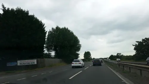
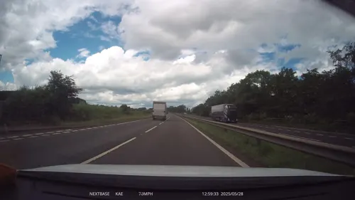
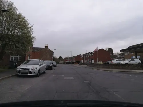
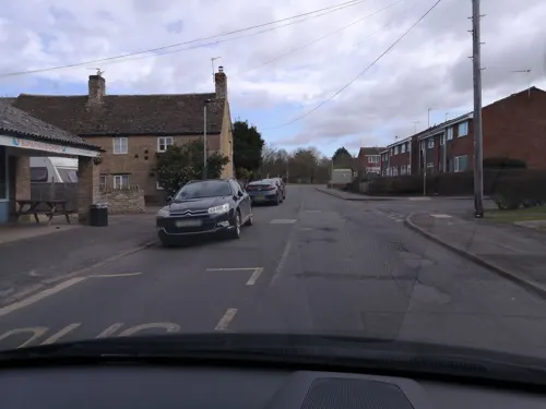
- Mapillary (see each image): photos
- OpenStreetMap contributors (ODbL 1.0): places, airports, map data
- Wikidata (CC0 1.0): elevation, founding date, time zone, website, landmarks and historic places
- Wikimedia Commons (see each image): photos
- Wikipedia (CC BY-SA 4.0): overview and history text
Photo credits
- Front of Burghley House 2009, Anthony Masi from UK, CC BY 2.0
- HillsAndHoles, Dave Crosby from Peterborough, England, CC BY-SA 2.0
- Southorpe Meadow 2, Dudley Miles, CC BY-SA 4.0
- Southorpe Paddock 2, Dudley Miles, CC BY-SA 4.0
- Wansford Pasture 3, Dudley Miles, CC BY-SA 4.0
- St Martins Church Stamford, Davecrosby uk, CC BY-SA 3.0
- Street-level photo, dzidek23, CC BY-SA 4.0
- Street-level photo, lamaar639, CC BY-SA 4.0
- Street-level photo, dzidek23, CC BY-SA 4.0
- Street-level photo, dzidek23, CC BY-SA 4.0
- Street-level photo, dzidek23, CC BY-SA 4.0
- Street-level photo, dzidek23, CC BY-SA 4.0
- Street-level photo, adam2, CC BY-SA 4.0
Page built November 10, 2026. Spotted a mistake? Tell us or suggest a place.