


Why visit Thurston
Townapedia lists 3 museums and landmarks, 4 parks and trails, 9 places to eat and 4 places to stay in and around town.
Highlights include Nether Hall, Thurston War Memorial, Black Bourn Valley and Moreton Hall Community Woods.
Weather in Thurston
Forecast from MET Norway (CC BY 4.0). Full forecast
About Thurston
Thurston is a village and a parish in Suffolk situated about 4 miles (6 km) east of Bury St Edmunds and 10 miles (16 km) west of Stowmarket.
From the Wikipedia article Thurston, Suffolk (this version), under CC BY-SA 4.0.
Museums and landmarks3


Parks, trails and playgrounds4

Black Bourn Valley
Park · 1.4 mi
Suffolk Wildlife Trust nature reserve



Restaurants and cafes9
Oh Crumbs Sandwich Bar
Cafe · Sandwich
9 Barton Road, Bury St Edmunds
Mo-Fr 07:00-14:30
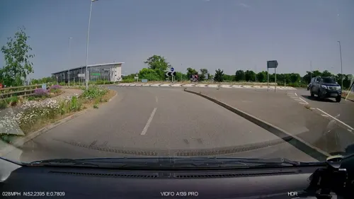
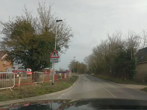
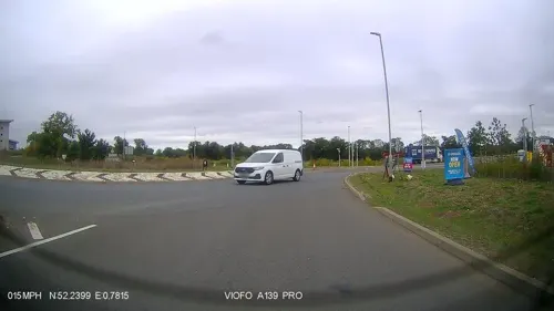
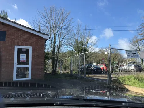

Where to stay4

History
The village is recorded in the Domesday Book as having a population of 66 households. It was part of the lands of the Abbey of Bury St Edmunds, then one of the largest landlords in England. Thurston was located in the middle of Thedwastre Hundred, an administrative district in the Middle Ages. The village sign depicts a tree, representing "Theodwards’s tree". This tree may have been the meeting place of the Hundred Court in Thedwastre Road, Thurston.
By the 1870s, the village had grown substantially. It is mentioned in John Marius Wilson's Imperial Gazetteer of England and Wales as a community with 2,200 acres of land, a population of 740 and 157 households. . Since 2017, an additional 900 homes have been built in the village. The village's farming past is reflected in its listed buildings, which include several former farmhouses and associated farm buildings.
Read more of the history
St. Peter's Church is at the geographical centre of the village and has services every Sunday at 10.30 am. The original church was Medieval, but was largely rebuilt in 1861 after a dramatic collapse of the tower onto the nave the night before major renovations were due to begin. Its architect was John Henry Hakewill (son of the distinguished architect Henry Hakewill), and rebuilding took 18 months and cost around £3,500. Some 14th and 15th-century features, including the font, chancel windows and vestry were retrieved and reinstated in the Victorian church.
The church is Grade II listed. The church's ring of five bells was augmented to six, after a donation of a bell from St Albans Abbey by the charity the Keltek Trust in 2012.
Thurston also has a small Methodist church in Church Road, which also conducts regular services.
The original village hall, still known as The Cavendish Hall, was gifted (both land and building costs) to Thurston in 1913 by Julia Florence Cavendish, the American-born wife of Tyrell William Cavendish, who died on the Titanic. The couple had joined the ship's maiden voyage to New York to see Julia Cavendish's father Henry Siegel shortly after purchasing Thurston House, which they were renovating. After Tyrell's death, Julia asked the Parish Council if the Hall could be built as his memorial, but sold Thurston Hall without living in it.
From the History section of Thurston, Suffolk on Wikipedia, under CC BY-SA 4.0.
Notable people from Thurston
 Robert d'Ufford, 1st Earl of SuffolkEnglish peer and diplomatPhoto: Rs-nourse, CC BY-SA 3.0
Born in Thurston, according to Wikidata (CC0). Each name links to its Wikipedia article.
Churches and places of worship2
Shopping1
Gas and EV charging2
Schools, colleges and libraries3
Thurston Church of England Primary Academy
School · Anglican · 0.5 mi
Pond Field Road, Bury St Edmunds
Healthcare1
Map of Thurston
29 places. The map loads OpenStreetMap tiles when you open it.
Getting there and nearby towns
RAF Honington (BEQ) is the nearest airport with scheduled flights listed in OpenStreetMap, 6 miles away.
- Great Barton 2 mi northwest, about 4 min by car
- Ixworth 3 mi north, about 5 min by car
- Bury St Edmunds 4 mi west, about 7 min by car
- Woolpit 4 mi southeast, about 6 min by car
- Haughley 7 mi east, about 12 min by car
- Stowmarket 9 mi southeast, about 15 min by car
- Rickinghall 10 mi northeast, about 16 min by car
- Lavenham 10 mi south, about 16 min by car
- Botesdale 10 mi northeast, about 17 min by car
- Thetford 12 mi north, about 19 min by car
Drive times are estimates from straight-line distance, not routes.
Towns near Thurston


Keep exploring
Local news
Headlines from INDB.
Reviews, tips and questions
Loading what members have shared...
Sources and licences
- GeoNames (CC BY 4.0): population, coordinates, regions and time zone
- Mapillary (see each image): photos
- OpenStreetMap contributors (ODbL 1.0): places, airports, map data
- Wikidata (CC0 1.0): elevation, founding date, time zone, website, landmarks and historic places
- Wikimedia Commons (see each image): photos
- Wikipedia (CC BY-SA 4.0): overview and history text
Photo credits
- Black Bourn Valley 6, Dudley Miles, CC BY-SA 4.0
- Moreton Hall Community Woods 4, Dudley Miles, CC BY-SA 4.0
- Norton Wood 5, Dudley Miles, CC BY-SA 4.0
- CS p4.288 - Nether Hall, Suffolk - Morris's County Seats, 1879, Unknown author, Public domain
- St Peter's church Thurston Suffolk (265114665), David from Colorado Springs, United States, CC BY 2.0
- St Mary's church Pakenham Suffolk (504144975), David from Colorado Springs, United States, CC BY 2.0
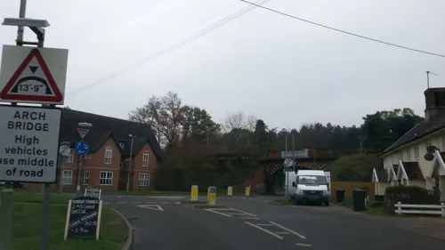
- Street-level photo, adam2, CC BY-SA 4.0
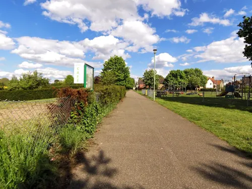
- Street-level photo, laye, CC BY-SA 4.0
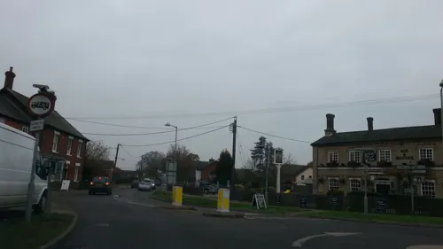
- Street-level photo, smsm1, CC BY-SA 4.0
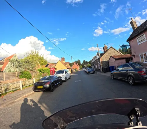
- Street-level photo, adam2, CC BY-SA 4.0
- Street-level photo, laye, CC BY-SA 4.0
- Street-level photo, wasd42, CC BY-SA 4.0
- Street-level photo, laye, CC BY-SA 4.0
- Street-level photo, adam2, CC BY-SA 4.0
- Street-level photo, laye, CC BY-SA 4.0
- Street-level photo, IpswichEdits, CC BY-SA 4.0
- Street-level photo, IpswichEdits, CC BY-SA 4.0
Page built November 10, 2026. Spotted a mistake? Tell us or suggest a place.