


Upper Cumberworth, United Kingdom
Upper Cumberworth is a town of 1,122 people in England, United Kingdom.
Why visit Upper Cumberworth
Townapedia lists 5 museums and landmarks, 4 parks and trails and 21 places to eat in and around town.
Highlights include Shepley War Memorial.
Weather in Upper Cumberworth
Forecast from MET Norway (CC BY 4.0). Full forecast
About Upper Cumberworth
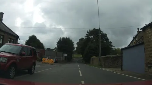
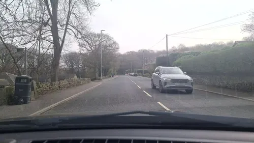
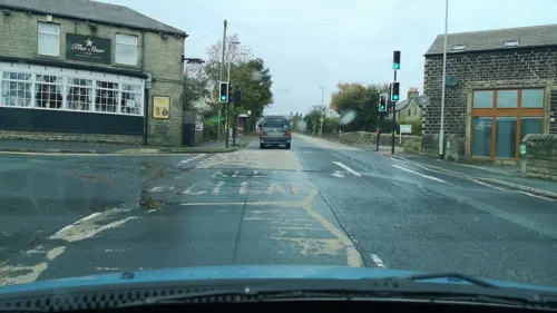
Upper Cumberworth is a small village in West Yorkshire, England, within the civil parish of Denby Dale and the Diocese of Wakefield. It is between the villages of Denby Dale and Shepley, above the village of Lower Cumberworth. It occupies a rural location, surrounded by fields and woodland but close to Barnsley, Wakefield, Huddersfield and Sheffield by public transport or road.
From the Wikipedia article Upper Cumberworth (this version), under CC BY-SA 4.0.
Museums and landmarks5


Georgie School of Theatre Arts
Museum · 1.2 mi
Barncliffe Mills, Huddersfield
Parks, trails and playgrounds4

Restaurants and cafes21
Sovereign Inn
Bar and pub · Local · 0.6 mi
172-174 Penistone Road, Huddersfield
Su-Th 11:30-22:00; Fr-Sa 11:30-23:00
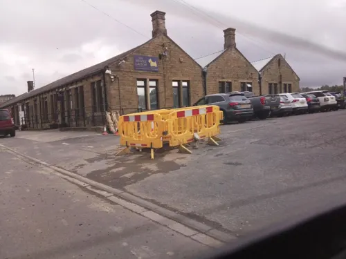
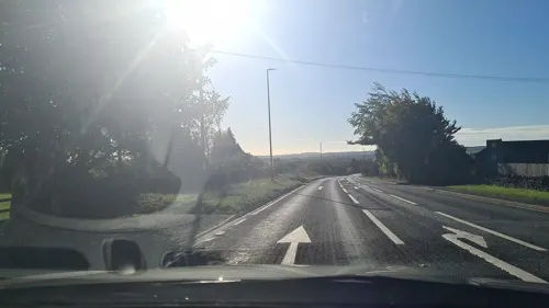
Yummy Yorkshire Ice Cream Company
Ice cream · 1.6 mi
Delph House Farm, Huddersfield
Mo-Fr 09:00-16:00; Sa,Su 09:00-17:00
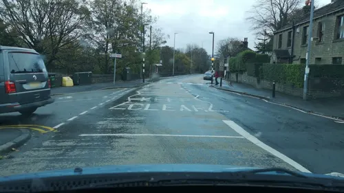
Black Bull
Bar and pub · 0.9 mi
1 Marsh Lane, Huddersfield
Mo-Fr 15:00-22:00, Sa 12:00-24:00, Su 12:00-22:00
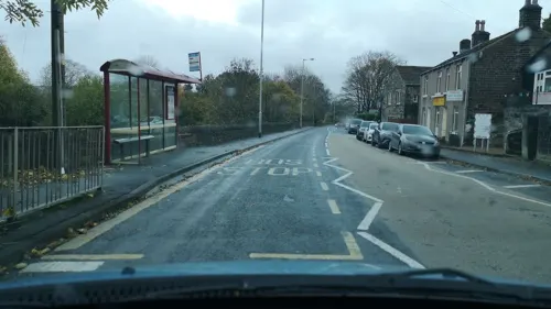
Chamberlain's Coffee and Cakes
Cafe · 1.0 mi
8 Station Road, Huddersfield
Mo 09:00-14:00; Tu-Th 08:30-14:00; Fr 08:30-15:00; Sa 09:00-14:30
Jo's Kitchen
Cafe · 1.5 mi
378 Wakefield Road, Huddersfield
Mo-Fr 09:00-16:00; Sa 09:00-14:00; Su 10:00-14:00



9 more on the map.
Churches and places of worship9


Church of St Thomas, Thurstonland
Church · 2.7 mi
Grade II listed church in the village of Thurstonland, in the parish of Kirkburton, Kirklees, West Yorkshire, England, UK
Denby Dale Methodist Church
Church · Methodist · 1.5 mi
Cumberworth Lane, Huddersfield
More about Upper Cumberworth
Geography
The local woodlands are managed by the Upper Dearne Woodlands Conservation Group, who undertake tasks such as habitat conservation, access management, education and information. Many public footpaths run through the woodlands with information boards about plants and animals. The woodland runs into Birdsedge and contains more than 75 Hairy Northern Wood Ant (Formica lugubris) nests.
From the Wikipedia article Upper Cumberworth, under CC BY-SA 4.0.
Shopping3
Gas and EV charging1
Schools, colleges and libraries5
Healthcare1
Map of Upper Cumberworth
49 places. The map loads OpenStreetMap tiles when you open it.
Getting there and nearby towns
Leeds Bradford Airport (LBA) is the nearest airport with scheduled flights listed in OpenStreetMap, 21 miles away.
- Scissett 3 mi east, about 5 min by car
- Millhouse Green 4 mi south, about 6 min by car
- Emley 4 mi northeast, about 6 min by car
- Penistone 4 mi southeast, about 7 min by car
- Flockton 4 mi northeast, about 7 min by car
- Huddersfield 6 mi northwest, about 10 min by car
- Silkstone 6 mi east, about 9 min by car
- Mirfield 7 mi north, about 11 min by car
- Darton 7 mi east, about 11 min by car
- Stocksbridge 8 mi southeast, about 12 min by car
Drive times are estimates from straight-line distance, not routes.
Towns near Upper Cumberworth


Keep exploring
Local news
Headlines from INDB.
Reviews, tips and questions
Loading what members have shared...
Sources and licences
- GeoNames (CC BY 4.0): population, coordinates, regions and time zone
- Mapillary (see each image): photos
- OpenStreetMap contributors (ODbL 1.0): places, airports, map data
- Wikidata (CC0 1.0): elevation, founding date, time zone, website, landmarks and historic places
- Wikimedia Commons (see each image): photos
- Wikipedia (CC BY-SA 4.0): overview and history text
Photo credits
- Upper Cumberworth, West Yorkshire ... Store and Post office. (6043390964), BazzaDaRambler, CC BY 2.0
- The Star, Upper Cumberworth (3985239752), Tim Green from Bradford, UK, CC BY 2.0
- 1909 school feast Joshua Biltcliffe Upper Cumberworth West Yorkshire England, Joshua Biltcliffe (1853–1937), Public domain
- St Nicholas' Church, Upper Cumberworth, Gordon Hatton, CC BY-SA 2.0
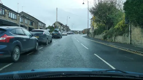
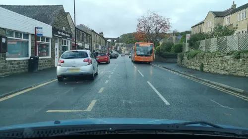
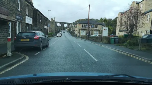
- Street-level photo, cuttlebug, CC BY-SA 4.0
- Street-level photo, cuttlebug, CC BY-SA 4.0
- Street-level photo, southglos, CC BY-SA 4.0
- Street-level photo, mappo2, CC BY-SA 4.0
- Street-level photo, cuttlebug, CC BY-SA 4.0
- Street-level photo, cuttlebug, CC BY-SA 4.0
- Street-level photo, cuttlebug, CC BY-SA 4.0
- Street-level photo, cuttlebug, CC BY-SA 4.0
- Street-level photo, cuttlebug, CC BY-SA 4.0
- Street-level photo, cuttlebug, CC BY-SA 4.0
- Street-level photo, cuttlebug, CC BY-SA 4.0
- Street-level photo, cuttlebug, CC BY-SA 4.0
- Street-level photo, cuttlebug, CC BY-SA 4.0
- Street-level photo, cuttlebug, CC BY-SA 4.0
- Street-level photo, southglos, CC BY-SA 4.0
- Street-level photo, cuttlebug, CC BY-SA 4.0
- Street-level photo, cuttlebug, CC BY-SA 4.0
- Street-level photo, cuttlebug, CC BY-SA 4.0
- Street-level photo, southglos, CC BY-SA 4.0
- Street-level photo, mappo2, CC BY-SA 4.0
- Street-level photo, cuttlebug, CC BY-SA 4.0
Page built November 10, 2026. Spotted a mistake? Tell us or suggest a place.