


Millhouse Green, United Kingdom
Millhouse Green is a town of 1,250 people in England, United Kingdom.
Why visit Millhouse Green
Townapedia lists 3 museums and landmarks, 4 parks and trails, 10 places to eat, 5 places to stay and 4 attractions in and around town.
Highlights include Penistone Paramount Cinema, Penistone Railway Viaduct on Penistone and Denby Dale Line and Catshaw Cross.
Weather in Millhouse Green
Forecast from MET Norway (CC BY 4.0). Full forecast
About Millhouse Green
Millhouse Green is a village in the Metropolitan Borough of Barnsley on the north banks of the River Don to the west of Penistone in the English county of South Yorkshire.
From the Wikipedia article Millhouse Green (this version), under CC BY-SA 4.0.
Things to do4

Penistone Paramount Cinema
Cinema and theater · 1.8 mi
Community cinema and theatre in Penistone near Barnsley, South Yorkshire, England

Penistone Railway Viaduct on Penistone and Denby Dale Line
Bridge · 2.0 mi
Railway viaduct in Penistone, Barnsley, South Yorkshire, England, UK

Museums and landmarks3

Parks, trails and playgrounds4



Restaurants and cafes10
The Little Bakery
Bakery · 0.9 mi
1 High Bank, Sheffield
Mo 09:00-14:30; Tu-Fr 08:30-14:30; Sa 08:00-12:30

Pizza Place
Fast food · Pizza · 0.8 mi
95 Manchester Road, Sheffield
Mo 16:30-23:00; We-Th 16:30-23:00; Fr-Sa 16:30-00:00; Su 16:30-23:00

Windmill Cafe
Cafe · 0.8 mi
Whitley Road, Sheffield
Mo-Tu 09:00-17:00; Th-Sa 09:00-17:00; Su 10:00-16:00

More about Millhouse Green
Education
The village is home to Millhouse Primary School a small, mixed primary school. It has from 100 - 140 students depending on intake.
From the Wikipedia article Millhouse Green, under CC BY-SA 4.0.
Where to stay5
Churches and places of worship7
Kingdom Hall of Jehovah's Witnesses
Church · Jehovahs Witness · 1.0 mi
Wind Mill Lane, Sheffield
Thurlstone & Millhouse Green Methodist Church
Church · Methodist
Manchester Road, Sheffield
Thurlstone Providence Baptist Chapel
Church · Baptist · 1.0 mi
Ingbirchworth Road, Sheffield
Shopping1
Schools, colleges and libraries3
Map of Millhouse Green
37 places. The map loads OpenStreetMap tiles when you open it.
Getting there and nearby towns
Leeds Bradford Airport (LBA) is the nearest airport with scheduled flights listed in OpenStreetMap, 24 miles away.
- Penistone 2 mi east, about 3 min by car
- Stocksbridge 4 mi southeast, about 7 min by car
- Silkstone 5 mi east, about 8 min by car
- Scissett 5 mi northeast, about 8 min by car
- Emley 6 mi north, about 10 min by car
- Darton 7 mi northeast, about 12 min by car
- Flockton 7 mi north, about 12 min by car
- Barnsley 8 mi east, about 13 min by car
- Chapeltown 9 mi southeast, about 15 min by car
- Huddersfield 10 mi northwest, about 16 min by car
Drive times are estimates from straight-line distance, not routes.
Towns near Millhouse Green


Keep exploring
Local news
Headlines from INDB.
Reviews, tips and questions
Loading what members have shared...
Sources and licences
- GeoNames (CC BY 4.0): population, coordinates, regions and time zone
- Mapillary (see each image): photos
- OpenStreetMap contributors (ODbL 1.0): places, airports, map data
- Wikidata (CC0 1.0): elevation, founding date, time zone, website, landmarks and historic places
- Wikimedia Commons (see each image): photos
- Wikipedia (CC BY-SA 4.0): overview and history text
Photo credits
- Penistone Paramonut, DaveGorman at English Wikipedia, Public domain
- Penistone - Viaduct, Dave Bevis, CC BY-SA 2.0
- St James church, Midhopestones, Mick Knapton, CC BY-SA 3.0
- Penistone Grammar 2016 view 01, Chemical Engineer, CC BY-SA 4.0
- The Crystal Palace, Thurlstone (16885632115), Tim Green from Bradford, UK, CC BY 2.0
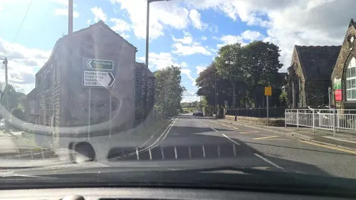
- Street-level photo, mappo2, CC BY-SA 4.0
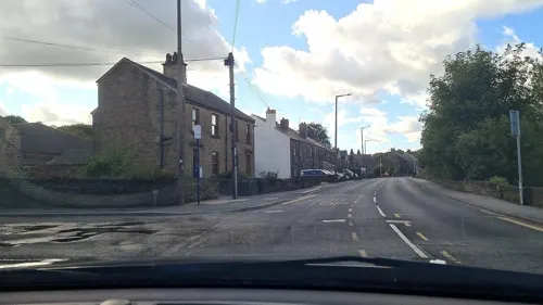
- Street-level photo, mappo2, CC BY-SA 4.0
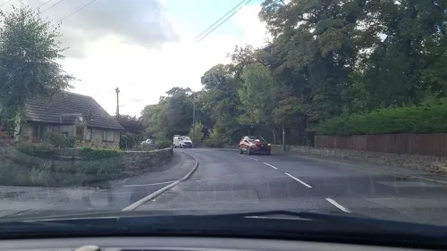
- Street-level photo, mappo2, CC BY-SA 4.0
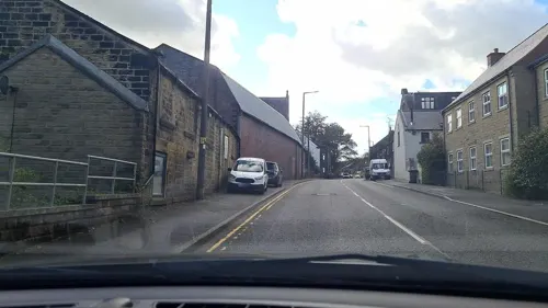
- Street-level photo, mappo2, CC BY-SA 4.0
- Street-level photo, mappo2, CC BY-SA 4.0
- Street-level photo, mappo2, CC BY-SA 4.0
- Street-level photo, mappo2, CC BY-SA 4.0
- Street-level photo, mappo2, CC BY-SA 4.0
- Street-level photo, mappo2, CC BY-SA 4.0
- Street-level photo, mappo2, CC BY-SA 4.0
Page built November 10, 2026. Spotted a mistake? Tell us or suggest a place.