


Why visit Warton
Townapedia lists 2 museums and landmarks, 3 parks and trails, 23 places to eat and 3 places to stay in and around town.
Highlights include Lytham Golf Academy.
Weather in Warton
Forecast from MET Norway (CC BY 4.0). Full forecast
About Warton
Warton is a village in the civil parish of Bryning-with-Warton, on the Fylde, in the Fylde district, in the county of Lancashire, England.
From the Wikipedia article Warton, Fylde (this version), under CC BY-SA 4.0.
Museums and landmarks2
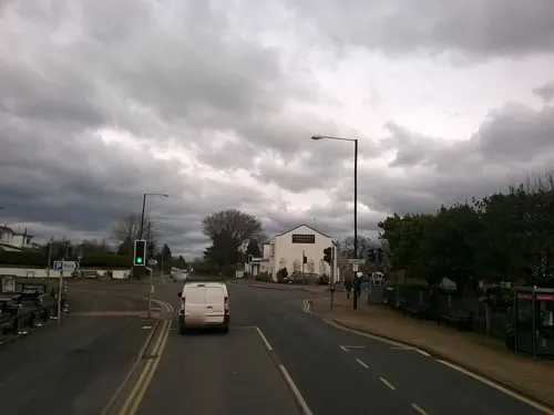

Parks, trails and playgrounds3



Restaurants and cafes23
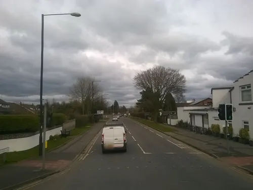
Lupo
Restaurant · Italian, Pizza · 1.2 mi
Family-run restaurant serving pizza, small plates and craft beer.
Preston New Road, Preston
Tu-Th 17:00-22:00; Fr-Sa 12:00-23:00; Su-Mo off



11 more on the map.
Where to stay3

History
The village is named Wartun or Wartuna in the Domesday Book, and the current spelling is first seen in 1227.
For probate purposes, prior to 1858, Warton was in the Archdeaconry of Richmond, in the Diocese of Chester.
Warton was formerly a township and chapelry in the parish of Kirkham, in 1866 Warton became a separate civil parish, on 1 April 1934 the parish was abolished to form "Bryning with Warton", part also went to Freckleton. In 1931 the parish had a population of 585.
In his 1870 Gazetteer, Wilson reports that the chapelry of Warton also included the Freckleton township, and comprised 6,598 acres, with a population 1,325 and 270 houses. The property is described as being "much subdivided". Cotton spinning and the manufacture of sacking, sailcloth, and cordage were the main occupations. There were two churches, both described as "good". There were also two Methodist chapels.
Read more of the history
Warton Post Mill, one of the last sunk post mills in England, was situated at the end of Mill Lane. All that remains of the former post mill is a circular wooden post that is stabilised by crossed timbers. The mill is thought to have been built in Lincolnshire in about 1695 before being moved to Rufford, Lancashire, in the early-mid 18th century and subsequently to Warton in 1771. It was last wind worked in about 1895. It then deteriorated and the ruin was left standing in the middle of a scrap yard. In June 1999 the substructure was excavated by the Chorley Archaeological Society. The buried cross-trees and the lower ends of the main post and quarterbars were all found to be rotten. In September 1999 three of the quarterbars were destroyed by vandals. The mill was consequently dismantled and stored in the nearby BAE Systems factory. Only the millstone and the old anvil are preserved at the former smithy. It was a Grade II listed building from 1996 until 2019. The mill is reflected in the name of the modern nearby street Post Lane.
From the History section of Warton, Fylde on Wikipedia, under CC BY-SA 4.0.
More about Warton
Education
Bryning-with-Warton St Paul's Church of England Primary School is located on Lytham Road (A584). St Paul's was established in 1821 and is a Voluntary Aided Church of England primary school. Holy Family Catholic Primary School is also located on Lytham Road.
From the Wikipedia article Warton, Fylde, under CC BY-SA 4.0.
Churches and places of worship9
Shopping1
Gas and EV charging1
Schools, colleges and libraries5
Map of Warton
47 places. The map loads OpenStreetMap tiles when you open it.
Getting there and nearby towns
Warton Aerodrome (WRT) is the nearest airport with scheduled flights listed in OpenStreetMap, 1 miles away.
- Wrea Green 2 mi northwest, about 3 min by car
- Lytham St Annes 4 mi west, about 7 min by car
- Fylde 6 mi north, about 9 min by car
- Poulton-le-Fylde 7 mi northwest, about 11 min by car
- Preston 8 mi east, about 12 min by car
- Blackpool 8 mi northwest, about 13 min by car
- Southport 9 mi southwest, about 14 min by car
- Leyland 9 mi southeast, about 15 min by car
- Thornton-Cleveleys 10 mi northwest, about 16 min by car
- Clayton-le-Woods 10 mi east, about 16 min by car
Drive times are estimates from straight-line distance, not routes.
Towns near Warton


Keep exploring
Local news
Headlines from INDB.
Reviews, tips and questions
Loading what members have shared...
Sources and licences
- GeoNames (CC BY 4.0): population, coordinates, regions and time zone
- Mapillary (see each image): photos
- OpenStreetMap contributors (ODbL 1.0): places, airports, map data
- Wikidata (CC0 1.0): elevation, founding date, time zone, website, landmarks and historic places
- Wikimedia Commons (see each image): photos
- Wikipedia (CC BY-SA 4.0): overview and history text
Photo credits
- Lancashire WARTON St Paul (48496177677), Terry Robinson, CC BY-SA 2.0
- Christ Church, Wesham, Martin Evans, CC BY-SA 2.0
- St John The Evangelist Church, Mike (KingOfRedArts) Worswick, CC BY-SA 4.0
- Church, Lytham - DSC07150, Rept0n1x, CC BY-SA 3.0
- Holy Trinity Church, Freckleton, Alexander P Kapp, CC BY-SA 2.0
- St Paul's Church, Warton - front view, Freckletony, CC BY-SA 4.0
- Street-level photo, dormin, CC BY-SA 4.0
- Street-level photo, dormin, CC BY-SA 4.0
Page built November 10, 2026. Spotted a mistake? Tell us or suggest a place.