

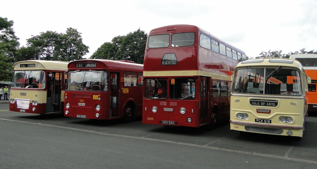


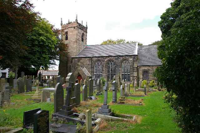
Clayton-le-Woods, United Kingdom
Clayton-le-Woods is a town of 14,528 people in England, United Kingdom.
Why visit Clayton-le-Woods
Townapedia lists 16 museums and landmarks, 22 parks and trails, 85 places to eat, 5 places to stay and 2 attractions in and around town.
Highlights include SCHOOL LANE BRIDGE, Chorley Theatre, South Ribble Museum & Exhibition Centre and Hawksclough Farmhouse.
Weather in Clayton-le-Woods
Forecast from MET Norway (CC BY 4.0). Full forecast
About Clayton-le-Woods
Clayton-le-Woods (commonly shortened to Clayton) is a large village and civil parish of the Borough of Chorley, in Lancashire, England. According to the census of 2001, it has a population of 14,528. At the 2011 census the population of Cuerden civil parish was included within Clayton-le-Woods, giving a total of 14,532.
From the Wikipedia article Clayton-le-Woods (this version), under CC BY-SA 4.0.
Things to do2


Chorley Theatre
Cinema and theater · 3.3 mi
Theatre and cinema in Chorley, England
Museums and landmarks16
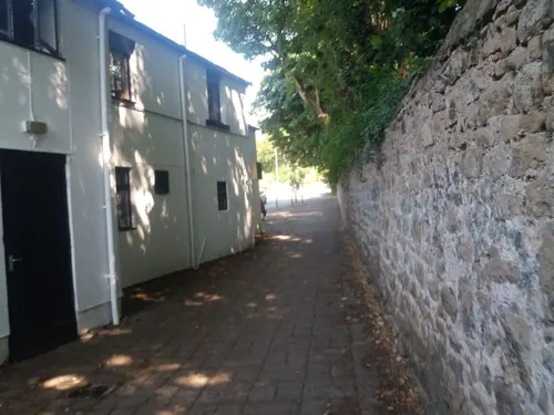
South Ribble Museum & Exhibition Centre
Museum · 1.2 mi
Church Road, Leyland
Tu 10:00-16:00;Th 13:00-16:00;Fr 10:00-16:00;Sa 10:00-13:00
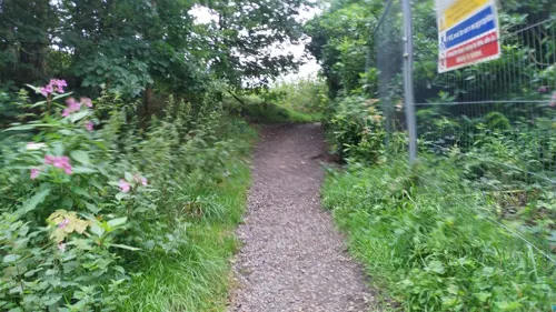

British Commercial Vehicle Museum
Museum · 1.1 mi
Automotive museum in Lancashire, England, United Kingdom
King Street, Leyland


Astley Hall
Museum · 2.7 mi
Grade I listed English country house in Chorley, United Kingdom
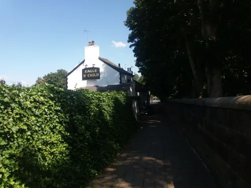

4 more on the map.
Parks, trails and playgrounds22


Cuerden Valley Park
Park · 0.7 mi
Park in Cuerden, Lancashire, England


10 more on the map.
Restaurants and cafes85
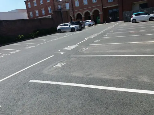
Tiggis Xpress
Restaurant · Italian · 1.5 mi
3 Barnes Wallis Way, Chorley
Mo-Th 16:00-22:30; Fr-Su 12:00-22:30
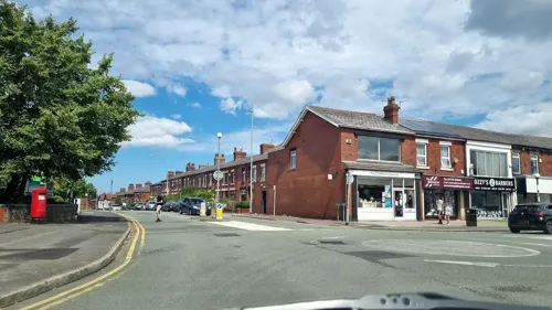
Fat Sam’s Bar &Grill
Restaurant · 1.2 mi
165-167 Towngate, Leyland
We-Th 11:30-23:00; Fr-Sa 11:30-00:00; Su 11:30-22:00
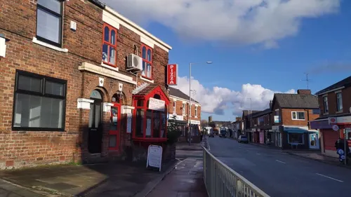
Antonellos
Restaurant · Italian · 1.0 mi
69 Hough Lane, Leyland
Tu-Th 16:00-21:00; Fr 16:00-22:00; Sa 14:00-22:00; Su 14:00-20:00




Isola bella
Restaurant · Italian · 1.0 mi
Hough Lane, Leyland
The Viceroy
Restaurant · Indian · 0.9 mi
3 Golden Hill Lane, Leyland
Wonderland
Restaurant · Chinese · 1.3 mi
Lancastergate, Leyland
73 more on the map.
History
South-west of the village at Bluebell Woods, on the northern side of Bryning Brook is the site of Clayton Hall. The now-demolished 17th-century building was on a moated site thought to date from the medieval period. The waterfilled moat survives best at its north and north-east sides and access was by a causeway at the north-west corner. To the north and west are two fishponds connected to the moat. The area is protected by scheduled monument status.
The Roman Catholic St. Bede's Church opened on Preston Road in 1824. Designed by Thomas Burgess in sandstone with a slate roof, its layout is a single cell with three round-headed windows on the sides. A copper bell turret with a spirelet was added in 1964.
From the History section of Clayton-le-Woods on Wikipedia, under CC BY-SA 4.0.
More about Clayton-le-Woods
Geography
Situated to the north of the town of Chorley, Clayton-le-Woods is only a few miles from the city of Preston and adjacent to the large villages of Leyland and Bamber Bridge. The villages of Clayton Brook, Whittle-le-Woods, Brindle and Buckshaw Village are also located next to Clayton-le-Woods.
The village is divided in two by Cuerden Valley Park and the River Lostock, the western part bordering Leyland and the eastern bordering Whittle-le-Woods. There is also a smaller area called Wood End, West of the village, close to Leyland. It was built between the 1960s and 1980s.
From the Wikipedia article Clayton-le-Woods, under CC BY-SA 4.0.
Notable people from Clayton-le-Woods
- Leonora CarringtonBritish-born Mexican artist, painter and novelist (1917–2011)
Born in Clayton-le-Woods, according to Wikidata (CC0). Each name links to its Wikipedia article.
Where to stay5
Churches and places of worship20
Shopping20
Gas and EV charging8
Schools, colleges and libraries24
Leyland St Mary's Roman Catholic Primary School
School · Roman Catholic · 1.3 mi
Haig Avenue, Leyland
Trinity Church of England/Methodist Primary School (KS2 Building)
School · Anglican, Methodist · 1.4 mi
Unity Place, Chorley
Healthcare12
Alimentary Solutions Limited
Clinic and pharmacy · 1.3 mi
199 Preston Road, Chorley
Broadoaks Child Development Centre
Clinic and pharmacy · 1.0 mi
Balcarres Road, Leyland
Child and Adolescent Mental Health Service (CAMHS)
Clinic and pharmacy · 1.0 mi
Balcarres Road, Leyland
Map of Clayton-le-Woods
214 places. The map loads OpenStreetMap tiles when you open it.
Getting there and nearby towns
Warton Aerodrome (WRT) is the nearest airport with scheduled flights listed in OpenStreetMap, 9 miles away.
- Preston 5 mi north, about 8 min by car
- Blackburn 8 mi northeast, about 14 min by car
- Horwich 8 mi southeast, about 13 min by car
- Wigan 11 mi south, about 17 min by car
- Ince-in-Makerfield 11 mi south, about 19 min by car
- Bolton 12 mi southeast, about 20 min by car
- Westhoughton 12 mi southeast, about 19 min by car
- Hindley 12 mi south, about 19 min by car
- Great Harwood 12 mi northeast, about 20 min by car
- Ormskirk 13 mi southwest, about 20 min by car
Drive times are estimates from straight-line distance, not routes.
Towns near Clayton-le-Woods


Keep exploring
Local news
Headlines from INDB.
Reviews, tips and questions
Loading what members have shared...
Sources and licences
- GeoNames (CC BY 4.0): population, coordinates, regions and time zone
- Mapillary (see each image): photos
- OpenStreetMap contributors (ODbL 1.0): places, airports, map data
- Wikidata (CC0 1.0): elevation, founding date, time zone, website, landmarks and historic places
- Wikimedia Commons (see each image): photos
- Wikipedia (CC BY-SA 4.0): overview and history text
Photo credits
- Chorley Little Theatre, ChorleyRobbie, CC BY-SA 3.0
- Bus lineup, 2012 Leyland Transport Festival, Sherpa_536, CC BY 2.0
- Astley Hall after restoration, Kevin Waterhouse, CC BY-SA 2.0
- All Saints Church, Higher Walton, Alan Sillitoe, CC BY-SA 2.0
- The Preston Temple by Munzerr, Andy Munzer from Bristol, UK, CC BY 2.0
- St James' Church, Brindle, Alexander P Kapp, CC BY-SA 2.0
- St Laurence's Church, Chorley, Karl1587, Public domain
- St Andrew's Church, Leyland, Alexander P Kapp, CC BY-SA 2.0
- School Lane Bridge, Whittle-le-Woods, Ann Cook, CC BY-SA 2.0
- Leyland St Ambrose, Gammock, CC BY-SA 4.0
- The Roebuck, Whittle-le-Woods, David Dixon, CC BY-SA 2.0
- Railway Worden Park, Ann Cook, CC BY-SA 2.0
- Street-level photo, tonys999, CC BY-SA 4.0
- Street-level photo, tonys999, CC BY-SA 4.0
- Street-level photo, tonys999, CC BY-SA 4.0
- Street-level photo, tonys999, CC BY-SA 4.0
- Street-level photo, tonys999, CC BY-SA 4.0
- Street-level photo, tonys999, CC BY-SA 4.0
- Street-level photo, tonys999, CC BY-SA 4.0
- Street-level photo, mappo2, CC BY-SA 4.0
- Street-level photo, tonys999, CC BY-SA 4.0
- Street-level photo, tonys999, CC BY-SA 4.0
- Street-level photo, tonys999, CC BY-SA 4.0
- Street-level photo, tonys999, CC BY-SA 4.0
- Street-level photo, tonys999, CC BY-SA 4.0
- Street-level photo, tonys999, CC BY-SA 4.0
- Street-level photo, tonys999, CC BY-SA 4.0
- Street-level photo, tonys999, CC BY-SA 4.0
- Street-level photo, tonys999, CC BY-SA 4.0
- Street-level photo, tonys999, CC BY-SA 4.0
- Street-level photo, tonys999, CC BY-SA 4.0
- Street-level photo, tonys999, CC BY-SA 4.0
- Street-level photo, tonys999, CC BY-SA 4.0
- Street-level photo, tonys999, CC BY-SA 4.0
- Street-level photo, tonys999, CC BY-SA 4.0
- Street-level photo, tonys999, CC BY-SA 4.0
- Street-level photo, tonys999, CC BY-SA 4.0


Page built November 10, 2026. Spotted a mistake? Tell us or suggest a place.