


Whitley Bay, United Kingdom
Whitley Bay is a town of 38,055 people in England, United Kingdom.
Why visit Whitley Bay
Townapedia lists 11 museums and landmarks, 18 parks and trails, 188 places to eat, 30 places to stay and 18 attractions in and around town.
Highlights include Blue Reef Aquarium Tynemouth, Customs House, South Shields, Arbeia and Stephenson Railway Museum.
Weather in Whitley Bay
Forecast from MET Norway (CC BY 4.0). Full forecast
About Whitley Bay
Whitley Bay is a seaside town in the North Tyneside borough of Tyne and Wear, England. It was formerly governed as part of Northumberland and has been part of Tyne and Wear since 1974. It is part of the wider Tyneside built-up area, being around 10 miles (16 km) north-east of Newcastle upon Tyne city centre. The population of Whitley Bay at the 2021 census was 36,880.
From the Wikipedia article Whitley Bay (this version), under CC BY-SA 4.0.
Travel tips from other travellers: Whitley Bay on Wikivoyage (CC BY-SA 4.0).
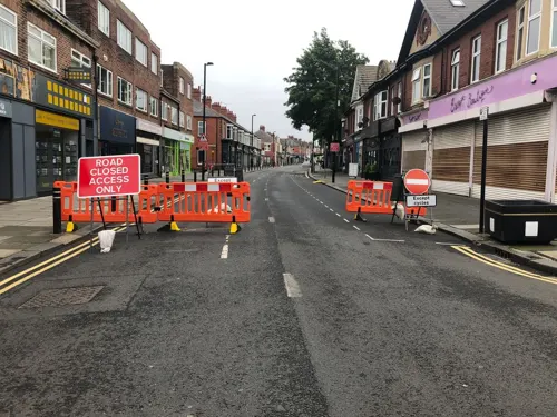
Photos of Whitley Bay

Things to do18


Customs House, South Shields
Cinema and theater · 3.1 mi
Theatre, cinema and art gallery in South Shields, England

Fish Quay Old Low Light
Lighthouse · 2.1 mi
Lighthouse in Tyne and Wear, England

Herd Groyne Light
Lighthouse · 2.4 mi
Lighthouse in South Tyneside, Tyne and Wear, England, UK

Spanish City
Monument and historic site · 0.5 mi
Permanent funfair in Whitley Bay, a seaside town in North Tyneside, Tyne & Wear, England


Fish Quay Low Light
Lighthouse · 2.2 mi
Lighthouse in Tyne and Wear, England
Fish Quay Old High Light
Lighthouse · 2.1 mi
Lighthouse in Tyne and Wear, England
New High Light
Lighthouse · 2.2 mi
Architectural structure in North Tyneside, Tyne and Wear, England, UK
Playhouse, Whitley Bay
Cinema and theater · 0.5 mi
Theatre in Whitley Bay, England
St. Mary's Lighthouse
Lighthouse · 2.2 mi
Lighthouse at North Tyneside, Tyne and Wear, England, UK
6 more on the map.
Museums and landmarks11

Arbeia
Monument and historic site · 2.5 mi
Roman fort and museum in South Shields, United Kingdom

Stephenson Railway Museum
Museum · 2.6 mi
Railway museum in North Shields, United Kingdom

Tynemouth Castle and Priory
Museum · 1.9 mi
Historic coastal site in north-eastern England



Collingwood Monument
Monument and historic site · 2.0 mi
Monument in Tynemouth, England
Iron cogwheel
Monument and historic site · 1.4 mi
Large, heavily encrusted six-spoked iron geared shaft/winch assembly, likely historic shipwreck machinery, exposed among rocks and...
Parks, trails and playgrounds18


Northumberland Park
Park · 1.7 mi
Public park in North Shields, Tyne and Wear, England, UK





6 more on the map.
Restaurants and cafes188
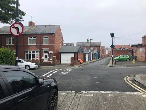
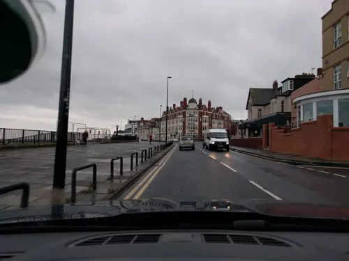
Fisherman’s Bay
Restaurant · Fish And Chips · 0.4 mi
6 East Parade, Whitley Bay
Mo-We 11:30-20:30; Th-Sa 11:30-21:00; Su 11:30-20:00
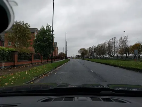
Miller & Carter
Restaurant · Steak · 1.0 mi
Preston North Road, North Shields
Mo-We 09:00-22:00; Th-Sa 09:00-23:00; Su 09:00-22:00
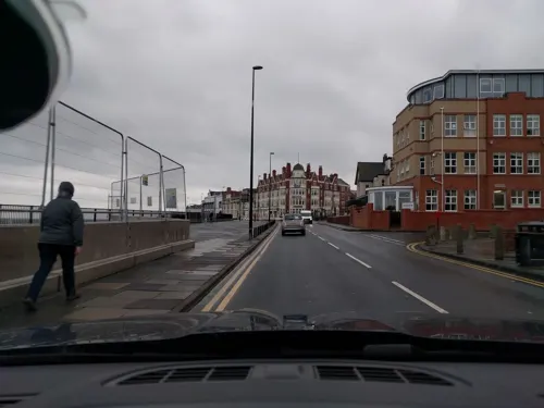
Takdir
Restaurant · Indian · 0.4 mi
7-8 East Parade, Whitley Bay
Mo-We 17:30-22:30; Th,Fr 17:30-23:00; Sa 17:00-23:00; Su 15:00-22:00
Zamorins
Restaurant · Indian · 0.4 mi
179-183 Park View, Whitley Bay
Mo off; Tu-Th 17:00-22:00; Fr-Sa 17:00-23:00; Su 17:00-22:00

Omni
Restaurant · Vietnamese · 0.6 mi
12 Front Street, Whitley Bay
Mo,Su off; Tu-Th 11:00-22:00; Fr 11:00-22:30; Sa 10:00-22:30
Sambuca Whitley Bay
Restaurant · Italian
2A-4 Park Avenue, Whitley Bay
Mo-Th 12:00-15:00,17:00-21:30; Fr 12:00-15:00,17:00-22:00; Sa...

Border Terrier
Bar and pub · 0.8 mi
Hartington Road, North Shields
Mo-Th 12:00-23:00; Fr-Sa 12:00-24:00; Su 12:00-23:00
Cafe Amsterdam
Bar and pub
69 Victoria Terrace, Whitley Bay
Mo off; Tu,We 17:00-22:00; Th,Fr 16:00-20:00; Sa 14:00-22:00; Su...

176 more on the map.
History
Whitley was first mentioned around 1100 when King Henry I conferred it with other possessions on the Priory of Tynemouth; it was referred to in ancient documents and maps before that date as Witelei, Wyteley, Hwyteleg, Witelithe, Wheteley, Wytheleye, Whitlaw, Whitlathe and Whitlag. Whitley is also referred to in the charters of King Henry II, King Richard I and King John, confirming to the priors their possessions and liberties.
Whitley was connected with the Crusades when Pope Nicholas IV granted to Edward I the first-fruits and tenths of all ecclesiastical possessions for six years to defray the expenses of an expedition to the Holy Land. A valuation was made of the spiritual and temporal goods of the priory on 26 March 1292, when the yearly rents from Whitley were returned as 20 shillings, and the tithes as 9 marks.
About the beginning of the 14th century, the manor of Whitley was held from the prior of Tynemouth by a singular feudal service called the Conveyes which seems to have originated from John de Whitley. Richard de Emeldon, eighteen times Mayor of Newcastle and seven times its representative in Parliament, was the Lord of the manor of Whitley in 1333.
Read more of the history
On 9 April 1345, Edward III granted Gilbert de Whitley a licence to crenellate his manor house at Whitley. To crenellate a house was to place battlements on it. Before this could be done, the sanction of the Crown was often sought. Although battlements were often largely symbolic, in this instance it is probably an indication of the degree of insecurity felt even this far south during the Edwardian wars with Scotland. The licence and crenellations were an indication of status. Only 2% of the small tower houses of the sort Gilbert built had licences. The 'sanction' of the crown was a sought-after bonus, but not a requirement.
After the dissolution of the monasteries, Whitley was held under the Crown for a time. By a grant of Edward VI dated 8 December 1551, it came into the hands of Dudley, Earl of Warwick who was created Duke of Northumberland. It remained in the Percy family until 1632 after which time the area appeared to be let at a yearly rental to various holders until it came into the possession of the Duke of Somerset on his marriage in 1682 with Elizabeth, the heiress of Joscelyn, the 11th Earl of Northumberland. Whitley subsequently passed by inheritance to her granddaughter Elizabeth Seymour who had married Sir Hugh Smithson, a Yorkshire baronet, afterwards created Duke of Northumberland. Whitley has since been retained by descendants and the present Duke of Northumberland is the Lord of the manor and principal landowner.
Monkseaton, which forms the greater part of the north west of the district, is also very old and its industries were common with those of Whitley being chiefly coalmining and limestone quarrying.
From the late 19th century and into the 20th century, the adverse effects of the decline of local coal mining and dependent industries in the area were ameliorated by the emergence of Whitley as a seaside holiday resort. The opening of the North Tyne Loop railway line in 1882, connecting the coastal villages to Newcastle, benefited the tourism industry. The line, now followed by the present Metro system, included a new railway station in the centre of the town, and another at Monkseaton. Both stations remain in use as Metro stations. Whitley Bay remains a popular holiday resort, with a caravan park operated by Parkdean Resorts for both holidaymakers and holiday home owners.
The parish church is St Paul's Church. It was provided by the Duke of Northumberland when the parish of Tynemouth was divided in 1860 and it was consecrated in 1864.
The Whitley and Monkseaton Local Board was established in 1873. The district of the local board became the urban district of Whitley and Monkseaton.
The town was known as Whitley until the 1890s, by which time confusion with Whitby, in North Yorkshire, regularly caused mail to be misdirected. The final straw came in September 1901 when a former resident died in Edinburgh and his body was to be buried in St Paul's churchyard, Whitley. Unfortunately, the body was mistakenly transported to Whitby, thereby delaying the funeral. When the council asked residents for suggestions of a new name, the most popular choice was Whitley Bay. Though since known officially as Whitley Bay, many residents still refer to the town as 'Whitley'.
On 1 January 1944, the Whitley and Monkseaton Urban District became the Whitley Bay Urban District and on 5 March 1954 it was granted a Royal Charter of Incorporation as the Borough of Whitley Bay. The charter was presented by The Princess Royal at a ceremony in the town on 14 April 1954.
The Local Government Act 1972 abolished the borough, with Hartley in the north of the borough becoming a part of Blyth Valley district in Northumberland; the majority of the town, including Whitley Bay and Monkseaton, forming part of the Metropolitan Borough of North Tyneside in the Tyne and Wear area. The town is in the constituency of Tynemouth.
From the History section of Whitley Bay on Wikipedia, under CC BY-SA 4.0.
More about Whitley Bay
Geography
Whitley Bay is around 10 miles (16 km) east of Newcastle upon Tyne. It is bounded by the coastline of the North Sea to the east. Tynemouth is 3 miles south.
St Mary's Island, a tidal island at the northern tip of the town, is the site of a lighthouse, one of the town's landmarks. Coal seams are exposed in the cliffs next to the beach just North of St Mary's Island and it is possible to pick up coal from the beach at low tide. The coal seams in the cliffs extend all the way to Seaton Sluice.
Education
There is one high school in the town, Whitley Bay High School, after the closure of Monkseaton High School. The town is one of the few remaining in the UK that operates on a three-tier system, with first, middle and high schools, though this system is soon to be abolished for the more common two-tier system.
From the Wikipedia article Whitley Bay, under CC BY-SA 4.0.
Notable people from Whitley Bay
 Elliot AndersonEnglish footballer (born 2002)Photo: Bryan Berlin, CC BY-SA 4.0
 Graham FentonBritish footballer (born 1974)Photo: Destructor7805, CC0
 L DevineEnglish singer-songwriterPhoto: LCS-WB-UK, CC BY-SA 4.0
- Peter RamageEnglish footballer (born 1983)
- Jane CarrBritish actor (1909–1957)
- John CornforthFootballer (born 1967)
- Ben SmithEnglish football goalkeeper, born 1986
- John CoxonEnglish footballer (1922-1998)
- David LongstaffBritish ice hockey player
- Greg RutherfordBritish footballer (born 1994)
- John GilroyBritish artist (1898-1985)
- Mark WallaceBritish journalist, newspaper columnist and political activist
Born in Whitley Bay, according to Wikidata (CC0). Each name links to its Wikipedia article.
Where to stay30
Churches and places of worship29
Saint Hilda Marden with Preston Grange
Church · Anglican · 1.0 mi
Stanton Road, North Shields
Whitley Bay Islamic Cultural Centre and Masjid
Place of worship · Sunni · 0.4 mi
Hillheads Road, Whitley Bay
Shopping47
Gas and EV charging5
Schools, colleges and libraries25
Star of the Sea Catholic Primary School
School · Roman Catholic · 0.9 mi
Seatonville Road, Whitley Bay
Healthcare24
Map of Whitley Bay
250 places. The map loads OpenStreetMap tiles when you open it.
Getting there and nearby towns
Newcastle International Airport (NCL) is the nearest airport with scheduled flights listed in OpenStreetMap, 10 miles away.
- Jarrow 4 mi south, about 7 min by car
- Hebburn 5 mi southwest, about 9 min by car
- The Boldons 7 mi south, about 11 min by car
- Gosforth 7 mi west, about 12 min by car
- Newcastle upon Tyne 8 mi southwest, about 13 min by car
- Bedlington 9 mi northwest, about 14 min by car
- Sunderland 10 mi south, about 16 min by car
- Ashington 11 mi northwest, about 17 min by car
- Whickham 11 mi southwest, about 18 min by car
- Blaydon-on-Tyne 12 mi southwest, about 19 min by car
Drive times are estimates from straight-line distance, not routes.
Towns near Whitley Bay


Keep exploring
Local news
Headlines from INDB.
Reviews, tips and questions
Loading what members have shared...
Sources and licences
- GeoNames (CC BY 4.0): population, coordinates, regions and time zone
- Mapillary (see each image): photos
- OpenStreetMap contributors (ODbL 1.0): places, airports, map data
- Wikidata (CC0 1.0): elevation, founding date, time zone, website, landmarks and historic places
- Wikimedia Commons (see each image): photos
- Wikipedia (CC BY-SA 4.0): overview and history text
Photo credits
- K4 telephone box No. NE26 412, Whitley Bay, 3 September 2012, William Mewes from Oakville Ontario, Canada, CC BY 2.0
- Old Low Light, North Shields, Barabbas1312, CC BY-SA 4.0
- Phare Herd Groyne South Shields South Tyneside 7, Chabe01, CC BY-SA 4.0
- Spanish City, Whitley Bay, September 2010, Original author was Adam G. Bell, CC BY 3.0
- Arbeia, Agnete, CC BY-SA 4.0
- E4 in the Stephenson Railway Museum, Robby George, CC0
- TynemouthCastle-2005-03-08, Chris McKenna ( user:Thryduulf ), CC BY-SA 4.0
- P&GCobalt, Andy Connolly, Public domain
- Église St Oswin Tynemouth North Tyneside 1, Chabe01, CC BY-SA 4.0
- Église St Hilda South Shields South Tyneside 4, Chabe01, CC BY-SA 4.0
- North Tyneside General Hospital, Stevenfruitsmaak, CC BY 3.0
- Grand Hotel, Tynemouth, Irina Guy, CC BY-SA 4.0
- Fontaine Adamson Cullercoats North Tyneside 1, Chabe01, CC BY-SA 4.0
- North Tyneside - Church of St Edward - 20220910113211, AnnaJHK, CC BY-SA 4.0
- North Tyneside - Drinking Fountain East Of Church Of St Paul - 20220910111711, AnnaJHK, CC BY-SA 4.0
- Blue Reef Aquarium Tynemouth Tank 01, TheArmchairSoldier, CC BY-SA 4.0
- The Customs House, South Shields - blue plaque, South Tyneside Council, CC BY-SA 4.0
- Street-level photo, djminisite06, CC BY-SA 4.0
- Street-level photo, floatingboater, CC BY-SA 4.0
- Street-level photo, floatingboater, CC BY-SA 4.0
- Street-level photo, floatingboater, CC BY-SA 4.0
- Street-level photo, djminisite06, CC BY-SA 4.0
- Street-level photo, floatingboater, CC BY-SA 4.0
- Street-level photo, floatingboater, CC BY-SA 4.0
- Street-level photo, floatingboater, CC BY-SA 4.0
- Street-level photo, floatingboater, CC BY-SA 4.0
- Street-level photo, floatingboater, CC BY-SA 4.0
- Street-level photo, floatingboater, CC BY-SA 4.0


Page built November 10, 2026. Spotted a mistake? Tell us or suggest a place.