


Whitstable, United Kingdom
Whitstable is a town of 32,196 people in England, United Kingdom.
Why visit Whitstable
Townapedia lists 9 museums and landmarks, 8 parks and trails, 106 places to eat, 4 places to stay and 2 attractions in and around town.
Highlights include The Playhouse, Whitstable Museum and Gallery, The Horsebridge and Foxes Cross Bottom.
Weather in Whitstable
Forecast from MET Norway (CC BY 4.0). Full forecast
About Whitstable
Whitstable is a town in the Canterbury district, on the north coast of Kent, England, at the convergence of the Swale and the Greater Thames Estuary, five miles (eight kilometres) north of Canterbury and two miles (three kilometres) west of Herne Bay. In 2021 it had a population of 32,196.
From the Wikipedia article Whitstable (this version), under CC BY-SA 4.0.
Travel tips from other travellers: Whitstable on Wikivoyage (CC BY-SA 4.0).
Photos of Whitstable


Things to do2


Museums and landmarks9
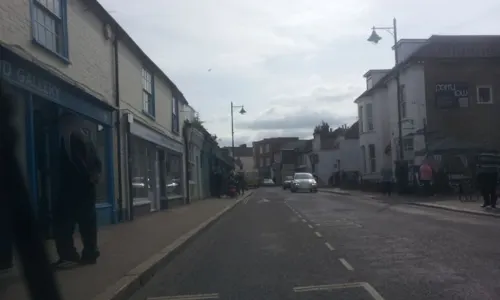
Whitstable Museum and Gallery
Museum
Museum in Kent, United Kingdom
5A Oxford Street, Whitstable
Th-Sa 10:30-16:30; SH We-Sa 10:30-16:30
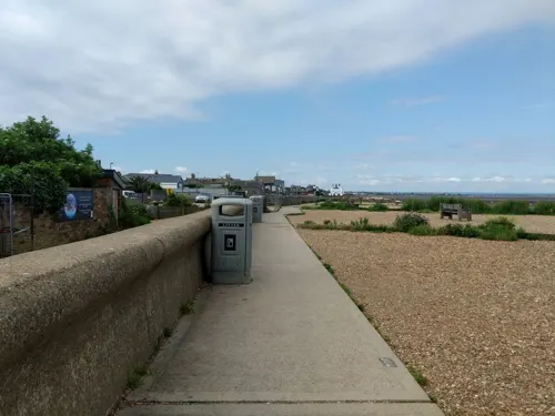



Parks, trails and playgrounds8


Whitstable and Seasalter Golf Club
Golf course · 0.6 mi
Collingwood Road, Whitstable

Restaurants and cafes106

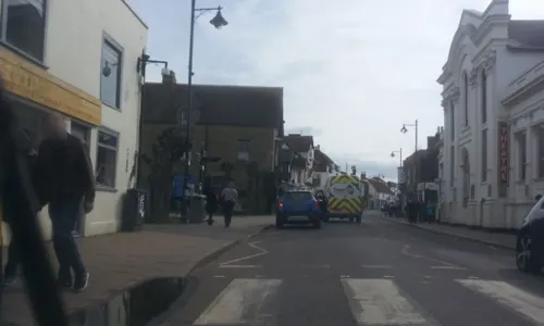
The Twelve Taps
Bar and pub
102 High Street, Whitstable
Tu 17:00-23:00; We-Th; 12:00-23:00; Fr-Sa 12:00-00:00; Su 13:00-21:00

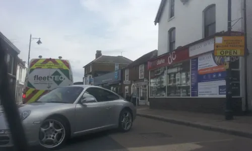


The East Kent Hotel
Bar and pub · 0.4 mi
72 Oxford Street, Whitstable
Su-Th 12:00-23:30; Fr 12:00-00:00; Sa 11:00-00:00
94 more on the map.
History
Archaeological finds indicate that the Whitstable area was inhabited during the Palaeolithic era, the Bronze Age and the Iron Age. Oysters were harvested in the area in Roman times. The remains of a Roman building have been found in the centre of the town. Charters indicate that there were Saxon settlements where salt production and coastal trade occurred. In the 19th century, extensive finds of Roman pottery were found in the sea around Whitstable during oyster dredging, and an offshore rock near the town has been associated with Caunos, an island mentioned by Ptolemy.
The town was recorded in the Domesday Book of 1086, under the name Witenestaple, meaning "the meeting place of the white post", a reference to a local landmark. At that time, Witenestaple was the administrative centre of the hundred of Witenestaple which stretched from the coast to the village of Blean, 3 kilometres (2 mi) north of Canterbury. In addition to Witenestaple, the hundred contained three manors at Seasalter, Northwood and Swalecliffe. Whitstable hundred was located within the Lathe of St Augustine.
Read more of the history
The Seasalter and Swalecliffe manors were owned by the church, and the manor at Northwood was run by a noble family on behalf of the king. Fisheries were located at the Seasalter manor, saltworks were at the Northwood manor, and pigs were farmed at the forest in Blean. By 1226, the name of the area had evolved into Whitstaple. Saltworks were opened at the Seasalter manor around the turn of the 14th century, and a sea wall was built there in 1325 to prevent coastal flooding. The history and development of the town has determined and been determined by the shape and location of the coast which has changed over recorded history due to natural events and human interventions.
By the late middle ages Whitstable had become a centre of Thames Estuary fishing, including for oysters, and was connected by road to Chestfield where archaeological finds evidence seafood consumption, as well as the Forest of Blean.
By 1413, the three manors had combined to form the Whitstaple manor, and had been sold to a religious foundation in Essex. The manor was seized by King Henry VIII during the Dissolution of the Monasteries in the 16th century, and was given to the Minter family, originally from Ickham. Branches of the Minter family survive today in the same area. A royal patent was granted in 1574 to the manor owner for the fishing of its oyster beds, and in the same year, the lands at Tankerton were incorporated into the manor. A copperas works was established at Tankerton in 1588, which operated until about 1830. By 1610, the name Whitstaple had become Whitstable.
Around the mid-18th century, goods and passengers began to be transported by ship between London and Whitstable, and a toll road was built to the cathedral city of Canterbury. These improvements in transport led to the town's development as a seaside resort; the first advertisements for bathing machines at Whitstable appeared in 1768. In 1790 the manor was sold to private landowners, and three years later the rights to harvest the oyster beds were bought by the newly established Company of Free Fishers and Dredgers of Whitstable, the successor to the Whitstable Company of Dredgers. Between roughly 1775 and 1875 the well smacks or early longliners out of Barking and other local fishing ports would collect lugworms and whelks from Whitstable's bait-diggers and dredgers before beginning their tour for prime fish north to Iceland. Whelks suspended in net bags in the well could live for a while due to circulating water. In the 1880s, Whitstable was described as having "an unrivalled, and indeed unchallenged, position in the oyster world".
On 3 May 1830, the world's first entirely steam-hauled passenger and freight railway service was opened by the Canterbury and Whitstable Railway Company. Designed by William James, the line ran six miles (10 km) from Westgate in Canterbury to Whitstable town centre. The railway line's initials—C&WR—and Whitstable's shellfish industry eventually led to its nickname, the Crab And Winkle Railway. The line carried coal arriving by sea in Whitstable to Canterbury, delivered by colliers sailing from the north east of England. At this time, the town also had a thriving shipbuilding industry. In the mid nineteenth century, hoys also sailed regularly from London to Whitstable.
Trains were driven by a locomotive for part of the journey, but on inclined planes were pulled on ropes by steam-driven stationary winding engines located at Tyler Hill and Clowes Wood. The locomotive used was the Invicta, an 0-4-0 inclined cylinder tender locomotive built by Robert Stephenson, the son of engineer George Stephenson. Whitstable harbour - also designed by Stephenson - was opened by the railway company in 1832, and the rail line was extended to enable goods, mainly coal, to be directly transferred from ships onto the trains. In 1834, the world's first season tickets were issued for the C&WR line. The harbour's size and positioning meant that it was the last place on England's east coast where barquentines, schooners and brigantines transporting coal could operate, with sailing colliers serving Whitstable Harbour until the 1920s.
The Invicta locomotive was retired in 1840 and replaced by horses until a third winding engine was built at South Street. The Invicta was kept for scrap, but in 1898 work began on its restoration, which continued intermittently until its completion in 1977 by the National Railway Museum in York. On 3 May 1980 the locomotive was returned to Canterbury to celebrate the 150th anniversary of the line. On Sunday 16 June 2019 Invicta was returned to the Whitstable Museum & Gallery.
From the History section of Whitstable on Wikipedia, under CC BY-SA 4.0.
More about Whitstable
Geography
Whitstable is on the north-east Kent coast. The town lies to the east of the outlet of The Swale into the Greater Thames Estuary. The town is 3 kilometres (2 mi) west of the seaside town of Herne Bay, 8 kilometres (5 mi) north-east of the town of Faversham and 8 kilometres (5 mi) north of the city of Canterbury; several small villages lie in between. The suburbs/villages of Tankerton, Swalecliffe and Chestfield are at the eastern end of the town, Seasalter at the west, and South Street at the south. Chestfield has its own parish council. An area of protected woodland and grassland called Duncan Down lies to the south-east.
The geology of the town consists mainly of London Clay (which covers most of North Kent). Much of the centre of the town is built on low-lying marshland. Sea walls are in place to prevent coastal flooding. The land in the east is higher, with slopes down to the coast at Tankerton. The whole of the north-east Kent coast has been designated a Site of Special Scientific Interest.
Economy
According to the 2001 UK census, the economic activity of residents in the town aged 16–74 was 35.6% in full-time employment, 13.4% in part-time employment, 10.4% self-employed, 2.5% unemployed, 2.4% students with jobs, 3.4% students without jobs, 18.8% retired, 6.7% looking after home or family, 4.5% permanently sick or disabled and 2.3% economically inactive for other reasons. The percentage of retired people was significantly higher than the national figure of 13.5%. The unemployment rate of 2.5% was lower than the national rate of 3.3%. 12% of the town's residents aged 16–74 had a higher education qualification or the equivalent, compared to 20% nationwide.
The main activities at the harbour are fishing, fish processing, cargo handling and boat storage. The harbour area is the site for other industries such as tarmac manufacturing and a maintenance port for an offshore windfarm. Business parks located on the outskirts of the town provide premises for large retailers, offices and light industries.
The town's distinctive character and ambience has led to a strong tourist industry, which is promoted each year by the Oyster Festival. In early 2007, Canterbury City Council were planning to boost tourism by building retail developments in addition to the existing shopping centre.
Arts and culture
The longest established event is the Regatta, dating from a sailing contest between 26 boats from Whitstable and Faversham which was split into three classes (divisions) in 1792. A reporter at the scene wrote: "Much nautical skill was displayed in the maneuvering of the various squadrons. Every hoy, smack, wherry etc. in the vicinity of Whitstable was crowded with company and formed quite a fair upon the ocean." In addition, at least two of the spectating boats had bands aboard and tents were erected along the shore which was lined with spectators.
The Regatta continued to become the biggest event on the North Kent Coast in the 19th century. It has moved from the original Whitstable to Tankerton for more land based events with fairground and fireworks on the elevated Slopes. For many years run by the council, the Whitstable and Herne Bay Lions Club have taken it on in the last 31 years. Future events will be more sea borne with yachting and rowing, and plans for swimming and even the traditional greasy pole.
May Day is celebrated with the annual Jack-in-the-Green parade, with traditional English dancing throughout the town, a fair at Whitstable Castle and a maypole dance by local schoolchildren overlooking the sea. It has been run by Whitstable and Herne Bay Lions Club for 34 years.
Education
Whitstable's secondary school is The Whitstable School, formerly The Community College Whitstable. It is a secondary modern school which changed its name from Sir William Nottidge School in 1998. In 2009, 25% of its pupils gained at least five GCSEs at grades A*–C – this increased to 37% in 2011.
The School was rated 'Requires Improvement' by Ofsted in March 2015.
Many pupils living in Whitstable commute to schools in other nearby towns, especially to the grammar schools in Faversham and Canterbury.
The town's public primary schools are Whitstable Junior School, Whitstable and Seasalter Church of England Junior School, Westmeads Infant School, Swalecliffe Community Primary School, St Mary's Catholic Primary School, St Alphege C of E Primary School, Joy Lane Primary School. The voluntary controlled church schools are owned by the church, but like the other schools, are administered by Kent County Council.
Whitstable Adult Education Centre runs adult learning courses.
From the Wikipedia article Whitstable, under CC BY-SA 4.0.
Notable people from Whitstable
 Peter GuinnessBritish actorPhoto: KeithJustKeith, CC BY 2.0
 Matthew HolnessBritish comedianPhoto: British Library, CC BY 3.0
 Fiona ReidBritish actressPhoto: Canada's Theatre Museum, CC BY 3.0
 Roger TurnerBritish musicianPhoto: Andy Newcombe, CC BY 2.0
 Catherine Cooper HopleyBritish author and naturalist (1817-1911)Photo: Russell & Sons, London, Public domain
 John Hopleynewspaper editor and publisher (1821-1904)Photo: Not stated, Public domain
 C.J. StonewriterPhoto: Helen Stone., CC BY 1.0
- Sean KerlyBritish field hockey player
- Herbert Harold ReadBritish geologist (1889–1970)
- Brian HopperBritish saxophonist
- Alan W. BishopBritish engineer (1920–1988)
- John ArcherBritish association football player (1936-1987)
Born in Whitstable, according to Wikidata (CC0). Each name links to its Wikipedia article.
Where to stay4
Churches and places of worship12
Shopping33
Gas and EV charging6
Schools, colleges and libraries10
Whitstable and Seasalter Endowed Church of England Junior School
School · Anglican
High Street, Whitstable
Healthcare9
Map of Whitstable
199 places. The map loads OpenStreetMap tiles when you open it.
Getting there and nearby towns
Manston Airport (MSE) is the nearest airport with scheduled flights listed in OpenStreetMap, 14 miles away.
- Saint Peters 17 mi east, about 27 min by car
- Southend-on-Sea 18 mi northwest, about 29 min by car
- Gillingham 21 mi west, about 33 min by car
- Maidstone 23 mi west, about 37 min by car
- Basildon 28 mi northwest, about 46 min by car
- Wickford 28 mi northwest, about 45 min by car
- Chelmsford 35 mi northwest, about 57 min by car
- Witham 35 mi northwest, about 56 min by car
- Colchester 37 mi north, about 59 min by car
- Bexley 38 mi west, about 1 h by car
Drive times are estimates from straight-line distance, not routes.
Towns near Whitstable


Keep exploring
Local news
Headlines from INDB.
Reviews, tips and questions
Loading what members have shared...
Sources and licences
- GeoNames (CC BY 4.0): population, coordinates, regions and time zone
- Mapillary (see each image): photos
- OpenStreetMap contributors (ODbL 1.0): places, airports, map data
- Wikidata (CC0 1.0): elevation, founding date, time zone, website, landmarks and historic places
- Wikimedia Commons (see each image): photos
- Wikipedia (CC BY-SA 4.0): overview and history text
Photo credits
- Cobbled Street in Whitstable, Paste at English Wikipedia, Public domain
- Royal Naval Reserve Public House, Back ache, CC BY-SA 3.0
- Canterbury - Church of St John (Methodist) - 20220608104109, FromMorningToMidnight, CC BY-SA 4.0
- 16, Harbour Street, Back ache, CC BY-SA 3.0
- Whitstable library (47925554303), JuliaC2006 from Rochester, UK, CC BY 2.0
- Westmeads Community Infant School, Back ache, CC BY-SA 3.0
- St Mary's Catholic Primary School, Whitstable, Back ache, CC BY-SA 3.0
- Old Neptune, Whitstable, .mw-parser-output .messagebox{margin:4px 0;width:auto;border-collapse:collapse;border:2px solid..., CC BY-SA 4.0
- 25, Albert Street, Back ache, CC BY-SA 3.0
- Tudor Restaurant (1), Back ache, CC BY-SA 3.0
- Troy Comins plaque, Jnicho02, CC BY-SA 4.0
- Street-level photo, paulbiv, CC BY-SA 4.0
- Street-level photo, paulbiv, CC BY-SA 4.0
- Street-level photo, paulbiv, CC BY-SA 4.0
- Street-level photo, paulbiv, CC BY-SA 4.0
- Street-level photo, gregorywilliams, CC BY-SA 4.0
- Street-level photo, paulbiv, CC BY-SA 4.0
- Street-level photo, jkingsleya, CC BY-SA 4.0
- Street-level photo, paulbiv, CC BY-SA 4.0
- Street-level photo, paulbiv, CC BY-SA 4.0
- Street-level photo, paulbiv, CC BY-SA 4.0
- Street-level photo, gregorywilliams, CC BY-SA 4.0
- Street-level photo, gregorywilliams, CC BY-SA 4.0
- Street-level photo, paulbiv, CC BY-SA 4.0

Page built November 10, 2026. Spotted a mistake? Tell us or suggest a place.