


Why visit Ilford
Townapedia lists 40 museums and landmarks, 34 parks and trails, 241 places to eat, 25 places to stay and 4 attractions in and around town.
Highlights include The Broadway, Kenneth More Theatre, Redbridge Museum and The Temple.
Weather in Ilford
Forecast from MET Norway (CC BY 4.0). Full forecast
About Ilford
Ilford is a large town in East London, England, 9 miles (14 km) northeast of Charing Cross. Part of the London Borough of Redbridge, Ilford is within the ceremonial county of Greater London. It had a population of 168,168 in 2011, compared to 303,858 for the entire borough.
From the Wikipedia article Ilford (this version), under CC BY-SA 4.0.
Photos of Ilford


Things to do4

The Broadway
Cinema and theater · 1.5 mi
Theatre in Barking, London, England, part of Barking Town Hall

Museums and landmarks40


Columbarium
Monument and historic site · 1.0 mi
Columbarium at City of London Cemetery
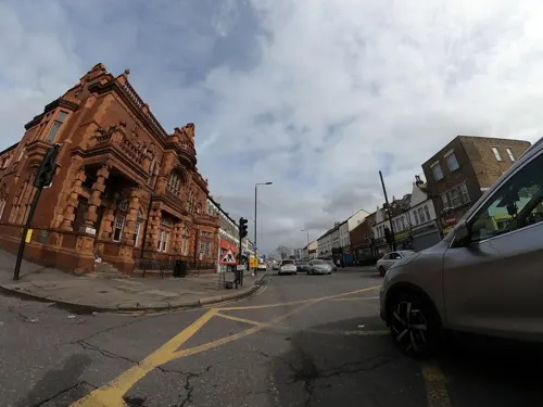


Dr Barnardo's Memorial
Monument and historic site · 2.0 mi
Memorial in London


Eastbury Manor House
Museum · 2.0 mi
Grade I listed historic house museum in London Borough of Barking and Dagenham, United Kingdom
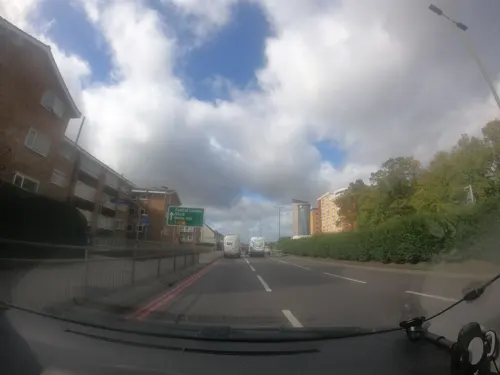


491 Gallery
Museum · 2.9 mi
Former gallery and social centre in London, England
East End Women's Museum
Museum · 1.7 mi
Women's Museum in London Barking, United Kingdom
28 more on the map.
Parks, trails and playgrounds34


Ripple Nature Reserve
Park · 2.9 mi
Nature reserve in Dagenham, London



22 more on the map.
Restaurants and cafes241
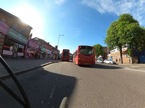
The Great Spoon of Ilford
Bar and pub
114-116 Cranbrook Road, Ilford
Mo,Tu,We,Th,Su 08:00-24:00; Fr,Sa 08:00-25:00
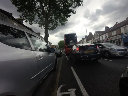
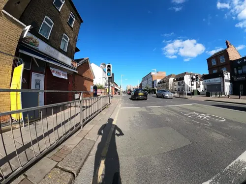
Aladdin's Shisha Lounge
Restaurant · Chinese, Chicken, Burger, Pizza · 0.6 mi
374 High Road, Ilford
Mo-Su 09:00-22:00
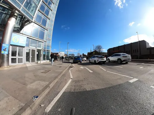
JRC Global Buffet
Restaurant · Pizza, Regional, Chinese, Japanese, Mexican, Indian, Asian, Thai
3 Winston Way, Ilford
Mo-Th 17:00-22:00; Fr 17:00-22:30; Sa 12:00-22:30; Su 12:00-21:30
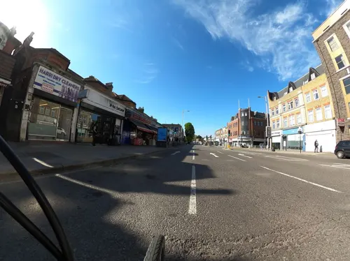
Parampara - The Art of Indian Dining
Restaurant · Indian · 0.4 mi
136 Cranbrook Road, Ilford
Mo-Su 12:00-23:30
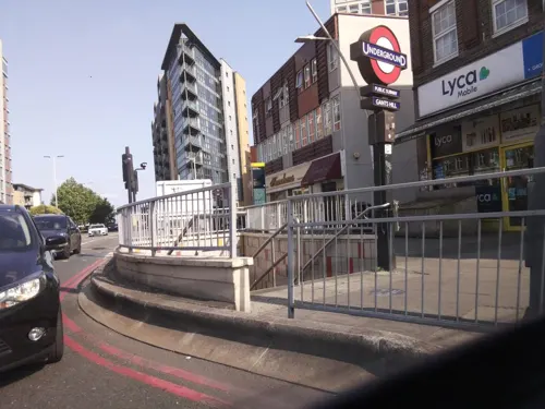
Royale Spicy Dosa
Restaurant · Indian · 1.3 mi
426 Cranbrook Road, Ilford
Mo closed; Tu-Su 12:00-23:00
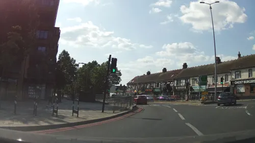
Sahara
Restaurant · 1.3 mi
Closed during the day for the whole month of Ramadhan and all day on the day of Eid. However deliveries and takeaway continues open from...
406-408 Cranbrook Road, Ilford
Mo-Th 12:00-23:30; Fr 14:00-24:00; Sa-Su 12:00-24:00
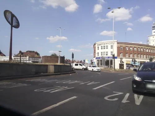
Cupp Bubble Tea
Cafe · Bubble Tea · 1.3 mi
416 Cranbrook Road, Ilford
Su-Th 12:00-00:00; Fr-Sa 12:00-02:00
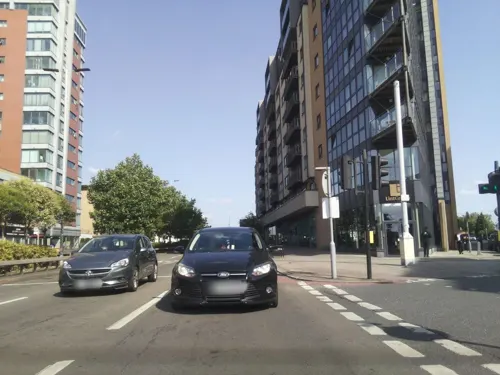


229 more on the map.
History
The only complete skull of a mammoth discovered in the United Kingdom was unearthed in 1864 close to where Uphall Road is today. The skull can now be seen in the Natural History Museum and a cast of the skull and other prehistoric animal remains can be seen at Redbridge Museum, Central Library, Ilford.
Redevelopment has destroyed much of the evidence for early Ilford, but the oldest evidence for human occupation is the first- and second-century BC Iron Age earthwork known as Uphall Camp. This was situated between the Roding and Ilford Lane and is recorded in 18th-century plans. Roman finds have also been made in the vicinity.
A nearby mound called Lavender Mount existed into the 1960s, when it was removed during building work at Howards chemical works. Excavation has shown that Lavender Mount may have been a 16th-century 'beacon-mound'. Archaeological discoveries are displayed at Redbridge Museum.
Read more of the history
Ilford straddled the important road from London to Colchester. The Middlesex and Essex Turnpike Trust controlled and maintained the road from 1721. The River Roding was made navigable for barges as far as Ilford Bridge from 1737. Ilford remained largely rural until its expansion in the 19th century. This brought about brickworks, cement works and coal yards to service the new buildings, largely centred on the River Roding. In 1839, a railway station was opened on the line from Romford to Mile End. The early businesses gave way to new industries, such as paper making and services such as steam laundries and collar making, to provide for the new commuting class created by the railway.
A number of major businesses have been founded in the town, including the eponymous photographic film and chemicals manufacturer Ilford Photo. This was founded in 1879 by Alfred H. Harman, a photographer from Peckham, who established the business in a house in Cranbrook Road making gelatino-bromide 'dry' plates. The business soon outgrew these premises, and its headquarters moved to a site at Roden Street until 1976 when the factory was closed. Many Ilford Limited products are displayed at Redbridge Museum.
The radio, electronics and telecommunications company Plessey, founded in 1917 in Marylebone, moved to Cottenham Road in Ilford early in 1919 and then to Vicarage Lane where it became one of the largest manufacturers in its field. During World War II, the factory was heavily damaged by bombing and the company carried out much of its manufacture, with 2,000 workers servicing a production line, located in the underground railway tunnel between Wanstead and Gants Hill. In 1955 the company employed 15,000 workers, in sites throughout Ilford and neighbouring areas, with an extensive research department. BAL-AMi Jukeboxes were manufactured at 290–296 High Road, Ilford, during the 1950s, which also served as the headquarters of the Balfour (Marine) Engineering company. The Exchange is the main shopping centre.
By 1653, Ilford was a compact village of 50 houses, mostly sited north and south of the current Broadway and the area was distinctly rural. In 1801 the population of Ilford was 1,724 and by 1841 it had grown to 3,742. It had a population of 41,244 in 1901 and occupied an area of 8,496 acres (34 km2). 2,500 houses of the vast Becontree Estate, built by the London County Council from 1921, were within the boundaries of Ilford; the addition caused a rise in population of 11,600 by 1926.
The Central line service of the London Underground to new and former main-line stations in the area began in 1947 and the population of the Municipal Borough of Ilford peaked in 1951 at 184,706, declining to 178,024 in 1961 before being absorbed into Redbridge and Greater London in 1965. At the 2001 Census the combined populations of the Ilford North and Ilford South constituencies was 196,414.
John Logie Baird, who invented the television, moved to Ilford in the mid to late 1920s to work on his new invention. He worked in a workshop on the roof of the Plessey premises in Ley Street, which has long since been demolished to make way for new housing.
In 1922, Ilford became notorious for being the site of the Thompson-Bywaters case, a cause célèbre in the United Kingdom that later influenced the debate around capital punishment in the UK.
Ilford was also the birthplace of the actor Maggie Smith who left for Oxford at the age of four.
During World War II an Ilford man lost his life when his Royal Air Force training aircraft crashed in the United States. Local residents living near the site, in the State of Oklahoma, erected a monument in 2000 honouring the lives of all four RAF fliers who perished. The event was attended by the Mayor of Redbridge and his mace-bearer, to much local acclaim. The residents, who include Choctaw Indians and the Choctaw Nation government, continue honouring the lives of all four on each anniversary of the crashes, which took place in February 1943.
Its proximity to the Olympic Park in Stratford meant that in 2011, Ilford was the fastest-growing tourist destination in Europe due to the London 2012 Summer Olympics.
From the History section of Ilford on Wikipedia, under CC BY-SA 4.0.
More about Ilford
Geography
The town is bounded in the west by the North Circular Road, Manor Park and the River Roding, with Chadwell Heath and Romford to the east and Barking to the South. The Alders Brook is a tributary of the Roding that marks the boundary between Newham and Redbridge. Climate data for Ilford is taken from the nearest weather station at Greenwich, around 6 miles (9.7 km) south south west of the railway station:
Economy
In 2005, Ilford was ranked sixth in the Retail Footprint ranking for Greater London, behind London's West End, Croydon, Kingston upon Thames, Bromley and Brent Cross Shopping Centre. It ranked just above Romford and central London's Kensington. As of 2020, Ilford has 145,860 square metres (1,570,000 sq ft) of total town centre floorspace, the tenth highest in Greater London and noticeably lower compared to Stratford and Romford.
Arts and culture
The local newspaper, covering the town and the borough, is the Ilford Recorder.
The poets Kathleen Raine (1908–2003) and Denise Levertov (1923–1997) were both born and spent their early years in Ilford. Levertov's Russian father, born a Hassidic Jew but converted to Christianity as a student, settled in Ilford as an Anglican minister. There is a tablet memorialising Levertov's father in Ilford's Hospital Chapel. Whilst Levertov wrote lyrically about Ilford, and in particular Valentines Park, in later life, Raine described it as a "suburban Hades".
The Kenneth More Theatre was officially opened in January 1975. It places emphasis on serving the local community, and stages a mix of professional and amateur productions. Its programme is varied, and runs throughout the year with productions generally changing on a weekly basis. It is well known within the local area for its annual pantomime, which normally runs from mid-December to mid-January.
St. Alban's Singers is a mixed voice choir for men and women based in St. Alban's Church in Albert Road, Ilford. The choir meets to rehearse at the church each Tuesday evening during term-time and aims to give three concerts per year.
Louise Lombard Actress lived in Barkingside, Ilford in childhood. Attended St. Augustine's Primary School.
Tamzin Outhwaite Actress lived in Redbridge, Ilford in childhood. Attended St. Augustine's Primary School.
Education
Loxford School in Loxford has over 3000 students from 11 to 18, Seven Kings School is half that size. The Palmer Catholic Academy is a Catholic secondary school and Ursuline Academy Ilford is a Catholic school for girls. Cranbrook School was an independent school that closed in 2016. Valentines High School is another secondary school in Ilford closer to Gants Hill Station. Uphall Primary School is in Loxford near the North Circular.
From the Wikipedia article Ilford, under CC BY-SA 4.0.
Notable people from Ilford
 Maggie SmithEnglish actress (1934–2024)Photo: N/A studio, Public domain
 Jane LeevesBritish actressPhoto: Mingle MediaTV, CC BY-SA 2.0
 Kathy KirbyBritish singer (1938–2011)Photo: RAI, Public domain
 Stuart ConquestBritish chess playerPhoto: Brittle heaven, CC BY-SA 3.0
 Sean MaguireBritish actor and singer (born 1976)Photo: Super Festivals from Ft. Lauderdale, USA, CC BY 2.0
 Mike Lynch (businessman)British-Irish businessman and software engineer (1965-2024)Photo: Royal Society uploader, CC BY-SA 4.0
 Tamzin OuthwaiteBritish actressPhoto: Ibsan73, CC BY 2.0
- Paul InceEnglish association football player and manager
- Denise LevertovBritish-American poet (1923-1997)
- Dimitrios PetrokokkinosGreek tennis player (1878-1942)
- Carole Ann FordBritish actress
- Kathleen RaineBritish poet, critic and scholar (1908–2003)
Born in Ilford, according to Wikidata (CC0). Each name links to its Wikipedia article.
Where to stay25
Churches and places of worship131
Church of St. Mary the Virgin
Church · Anglican · 0.9 mi
St Mary's Approach, London
St Barnabas Parish Church
Church · Anglican · 1.2 mi
Browning Road, London
Shopping25
Gas and EV charging12
Schools, colleges and libraries52
Healthcare23
Map of Ilford
250 places. The map loads OpenStreetMap tiles when you open it.
Getting there and nearby towns
London City Airport (LCY) is the nearest airport with scheduled flights listed in OpenStreetMap, 4 miles away.
- Walthamstow 5 mi northwest, about 7 min by car
- Tottenham 7 mi northwest, about 11 min by car
- Islington 8 mi west, about 12 min by car
- London 9 mi west, about 15 min by car
- City of Westminster 10 mi southwest, about 16 min by car
- Sutton 19 mi southwest, about 30 min by car
- Watford 21 mi west, about 34 min by car
- Southend-on-Sea 28 mi east, about 44 min by car
- Maidstone 28 mi southeast, about 45 min by car
- Slough 29 mi west, about 47 min by car
Drive times are estimates from straight-line distance, not routes.
Towns near Ilford


Keep exploring
Local news
Headlines from INDB.
Reviews, tips and questions
Loading what members have shared...
Sources and licences
- GeoNames (CC BY 4.0): population, coordinates, regions and time zone
- Mapillary (see each image): photos
- OpenStreetMap contributors (ODbL 1.0): places, airports, map data
- Wikidata (CC0 1.0): elevation, founding date, time zone, website, landmarks and historic places
- Wikimedia Commons (see each image): photos
- Wikipedia (CC BY-SA 4.0): overview and history text
Photo credits
- Ilford Redbridge Town Hall, Sunil060902, CC BY-SA 3.0
- Frankie and Benny's, Ilford, IG1, Ewan-M, CC BY-SA 2.0
- 150-LJ60ATU-Ilford-P1180431 (37049767395), citytransportinfo, CC0
- 150-LJ60ATU-Ilford-P1180433 (36653036470), citytransportinfo, CC0
- Ilford Photo products at Redbridge Museum, The wub, CC BY-SA 4.0
- Memorial to Dr Barnardo, Matt Brown, CC BY 2.0
- Eastbury Manor House, Gordon Joly, CC BY 2.5
- Valentines Park, London Borough of Redbridge, IG1 (4163243333), Ewan Munro from London, UK, CC BY-SA 2.0
- South Park, Ilford (2012-06-21), Thebrid, CC BY-SA 3.0
- Beckton District Park South, Dudley Miles, CC0
- Greatfields Park (18843012584), Matt Brown from London, England, CC BY 2.0
- Mayesbrook Park 2, Dudley Miles, CC BY-SA 3.0
- Parsloes Park, London Borough of Barking & Dagenham, RM9 (400631455), Ewan Munro from London, UK, CC BY-SA 2.0
- Scrattons Eco Park 1, Dudley Miles, CC BY-SA 3.0
- Christ Church, Wanstead, The wub, CC BY-SA 4.0
- Central Avenue CoLC&C, JHvW ( talk ), CC BY-SA 3.0
- Earl of Essex, Manor Park, E12 (4738205992), Ewan Munro from London, UK, CC BY-SA 2.0
- Dissenters' Chapel at City of London Cemetery and Crematorium 1, Acabashi, CC BY-SA 4.0
- Catacomb columbarium City of London Cemetery Newham London England 1, Acabashi, CC BY-SA 4.0
- The Temple, Wanstead Park (1), The wub, CC BY-SA 4.0
- St. Barnabas Church, Manor Park. Exterior, James Ramsay, CC BY 4.0
- Anglican Church chapel City of London Cemetery and Crematorium 2, Acabashi, CC BY-SA 4.0
- London Borough of Barking and Dagenham - Barking Baptist Tabernacle - 20230404140145, Hjamesberglen, CC BY-SA 4.0
- City of London Cemetery - Entrance, Acabashi, CC BY-SA 4.0
- Southeast View of the Church of Saint Mary, Little Ilford, Doyle of London, CC BY-SA 4.0
- Dover Rd, Aldersbrook, Andertpj, CC BY-SA 4.0
- Redbridge central library (34980894720), JuliaC2006 from Rochester, UK, CC BY 2.0
- 1950s Wedding, Theactivistuk, CC BY-SA 4.0
- Keracolor television at Redbridge Museum, The wub, CC BY-SA 4.0
- Kelvin Hughes sextant from 1951 at Redbridge Museum, The wub, CC BY-SA 4.0
- Kelvin Hughes products at Redbridge Museum, The wub, CC BY-SA 4.0
- Plessey products at Redbridge Museum, The wub, CC BY-SA 4.0
- Part of Redbridge Museum, The wub, CC BY-SA 4.0
- Broadway, Barking, IG11 (4497643932), Ewan Munro from London, UK, CC BY-SA 2.0
- Barking Park, Simon from London, United Kingdom, CC BY 2.0
- Ripple Nature Reserve 5, Dudley Miles, CC BY-SA 3.0
- Street-level photo, dankarran, CC BY-SA 4.0
- Street-level photo, dankarran, CC BY-SA 4.0
- Street-level photo, dankarran, CC BY-SA 4.0
- Street-level photo, dankarran, CC BY-SA 4.0
- Street-level photo, dankarran, CC BY-SA 4.0
- Street-level photo, dankarran, CC BY-SA 4.0
- Street-level photo, rskedgell, CC BY-SA 4.0
- Street-level photo, southglos, CC BY-SA 4.0
- Street-level photo, southglos, CC BY-SA 4.0
- Street-level photo, southglos, CC BY-SA 4.0
- Street-level photo, southglos, CC BY-SA 4.0
- Street-level photo, dankarran, CC BY-SA 4.0
- Street-level photo, dankarran, CC BY-SA 4.0
- Street-level photo, dankarran, CC BY-SA 4.0
- Street-level photo, dankarran, CC BY-SA 4.0
- Street-level photo, dankarran, CC BY-SA 4.0
- Street-level photo, lamaar639, CC BY-SA 4.0
- Street-level photo, dankarran, CC BY-SA 4.0
- Street-level photo, dankarran, CC BY-SA 4.0
- Street-level photo, lamaar639, CC BY-SA 4.0
- Street-level photo, southglos, CC BY-SA 4.0
- Street-level photo, dankarran, CC BY-SA 4.0
- Street-level photo, dankarran, CC BY-SA 4.0
- Street-level photo, southglos, CC BY-SA 4.0
- Street-level photo, southglos, CC BY-SA 4.0
- Street-level photo, lamaar639, CC BY-SA 4.0
- Street-level photo, essexboy, CC BY-SA 4.0
- Street-level photo, southglos, CC BY-SA 4.0


Page built November 10, 2026. Spotted a mistake? Tell us or suggest a place.