


Kunitachi, Japan
国立市
Kunitachi is a town of 77,130 people in Tokyo, Japan, founded in January 1, 1967.
Why visit Kunitachi
Townapedia lists 25 museums and landmarks, 128 parks and trails, 227 places to eat, 5 places to stay and 14 attractions in and around town.
Highlights include Hitotsubashi University, Jissen Women's University, Hijikata Toshizo Museum and Shinkansen Test Vehicle 951-1.
Weather in Kunitachi
Forecast from MET Norway (CC BY 4.0). Full forecast
About Kunitachi
Kunitachi (国立市, Kunitachi-shi) is a city located in the western portion of the Tokyo Metropolis, Japan. As of 1 April 2021, the city had an estimated population of 76,423 in 38,825 households, and a population density of 9,400 persons per km2. Approximately 41.9% of the city population is over 65 years in age. The total area of the city is 8.15 square kilometres (3.15 sq mi).
From the Wikipedia article Kunitachi, Tokyo (this version), under CC BY-SA 4.0.
Travel tips from other travellers: Kunitachi on Wikivoyage (CC BY-SA 4.0).
Things to do14

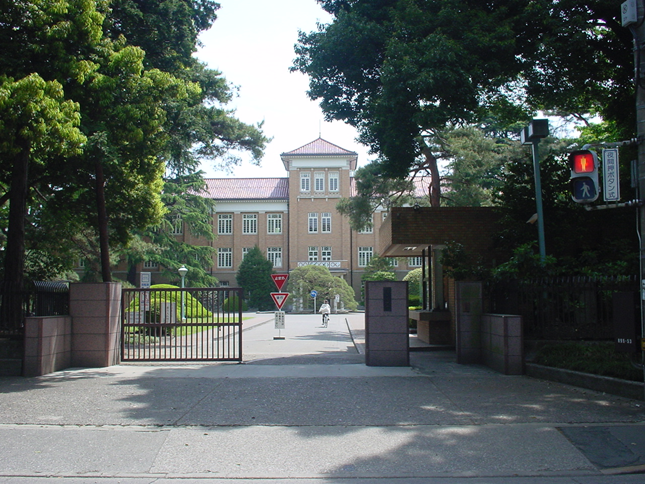
Hitotsubashi University
School · 1.3 km
National university in Kunitachi, Tokyo, Japan

Jissen Women's University
School · 4.6 km
Japanese women's university

Kunitachi College of Music
School · 6.0 km
Private University in Tokyo


Musashino Art University
School · 4.8 km
University in Kodaira, western Tokyo


Sugino Fashion College
School · 4.2 km
Private college in Shinagawa, Tokyo, Japan


Tokyo University of Agriculture and Technology
School · 3.6 km
Universities and colleges in Tokyo


2 more on the map.
Museums and landmarks25


Kodaira Hirakushi Denchu Art Museum
Museum · 5.1 km
Art museum in Tokyo, Japan


Kyōdo-no-Mori
Museum · 4.4 km
Open-air folk museum in Fuchū, Tokyo, Japan

National Institute of Polar Research
Museum · 4.2 km
Japanese research institute for Antarctica


13 more on the map.
Parks, trails and playgrounds128



116 more on the map.
Restaurants and cafes227



Doutor Coffee Shop
Cafe · Coffee Shop · 2.3 km
29, 府中市
Mo-Fr 07:30-21:00; Sa 07:30-20:00; Su,PH 08:00-20:00


Dhaba Kunitachi
Restaurant · Curry · 2.2 km
1-45-12
Tu-Su 11:30-14:30, 17:30-21:30
215 more on the map.
History
Kunitachi lies along the historical Kōshū Kaidō, a route that connected Edo with Kofu in the province of Kai (present-day Yamanashi Prefecture). The area was noted for its abundant spring water. The villages of Ishida, Aoyagi and Yabo were created within Tama District of Kanagawa Prefecture during the establishment of the modern municipalities system on April 1, 1889. The district was transferred from Kanagawa to Tokyo in 1893. In the 1920, much of the land was obtained by Kojiro Tsutsumi, the founder of Seibu, who began large-scale development of a planned community, which he intended to become a university town modeled after Göttingen in Germany. The Tokyo University of Commerce (Hitotsubashi University) was relocated from central Tokyo to this location, and a train station was opened on Chūō Main Line in 1926. The station was named "Kunitachi", taking one kanji from the names of the stations to either side, namely Kokubunji Station and Tachikawa Station. The three villages were merged to form Kunitachi town in 1951. Kunitachi was elevated to city status on January 1, 1967.
From the History section of Kunitachi, Tokyo on Wikipedia, under CC BY-SA 4.0.
Where to stay5
Churches and places of worship24
Shopping46
Gas and EV charging8
Schools, colleges and libraries64
Healthcare42
Map of Kunitachi
250 places. The map loads OpenStreetMap tiles when you open it.
Getting there and nearby towns
Yokota Air Base (OKO) is the nearest airport with scheduled flights listed in OpenStreetMap, 11 km away.
- Tachikawa 3 km northwest, about 3 min by car
- Kokubunji 4 km northeast, about 4 min by car
- Fuchū 4 km east, about 4 min by car
- Kodaira 6 km northeast, about 6 min by car
- Akishima 7 km northwest, about 7 min by car
- Koganei 7 km east, about 7 min by car
- Musashimurayama 7 km north, about 7 min by car
- Higashimurayama 8 km north, about 8 min by car
- Higashiyamato 9 km north, about 9 min by car
- Nishi-Tokyo-shi 10 km northeast, about 10 min by car
Drive times are estimates from straight-line distance, not routes.
Local news
Headlines from INDB.
Reviews, tips and questions
Loading what members have shared...
Sources and licences
- GeoNames (CC BY 4.0): population, coordinates, regions and time zone
- OpenStreetMap contributors (ODbL 1.0): places, airports, map data
- Wikidata (CC0 1.0): elevation, founding date, time zone, website, landmarks and historic places
- Wikimedia Commons (see each image): photos
- Wikipedia (CC BY-SA 4.0): overview and history text
Photo credits
- Kunitachi city office, Nyaos at Japanese Wikipedia, CC BY-SA 3.0
- NHK Gakuen Kunitachi2, にっしーーー, CC0
- NHK Gakuen Kunitachi1, にっしーーー, CC0
- Chuo Expressway Kunitachi-Fuchu Interchange, Yasu ( talk ), CC BY-SA 3.0
- Kanematsu auditorium, Wiiii, CC BY-SA 3.0
- Jissen Women's University Osakaue Campus02, Jinn0306, CC BY-SA 3.0
- Kunitachiondai2, The original uploader was Hykw-a4 at Japanese Wikipedia ., CC BY-SA 3.0
- Musashino Art University, The original uploader was Hykw-a4 at Japanese Wikipedia ., CC BY-SA 3.0
- Tokyokeizaiuniv, Original uploader was Hykw-a4 at ja.wikipedia, CC BY-SA 3.0
- Tokyo University of Agriculture and Technology Main Hall, Wiiii, CC BY-SA 3.0
- Tsudajukuuniv, The original uploader was Hykw-a4 at Japanese Wikipedia ., CC BY-SA 3.0
- Kodaira Hirakushi Denchu Art Museum front, Calton, CC BY-SA 4.0
- Kyodo no Mori Historic Buildings, Bryanmackinnon, Public domain
- National Institute of Japanese Literature, Tamago915 ( talk ), CC BY-SA 3.0
- Fuchunomorikoen, っ, CC BY-SA 3.0
- Showa Commemorative National Government Park 1, Kakidai, CC BY-SA 4.0
- Tama-zoo, Dddeco at Japanese Wikipedia, CC BY-SA 3.0
- Tonogayato1, Irina Gelbukh, CC BY-SA 3.0
- Yaho Tenmangu, Binh Giang, Public domain
- 951-1 RTRI Kokubunji 199711, DAJF, CC BY-SA 3.0
- 東京都立国立高等学校, Unknown author, CC BY-SA 3.0
- Tokyo metropolitan Tama synthesis medical center-20100929, Rsa, CC BY-SA 3.0
- Tokyo Metropolitan Neurological Hospital, Waka77, CC0
- Musashi-Fuchu Kumano-jinja Kofun, funkyu-1, Saigen Jiro, CC0
- Tachikawa Hospital 20180617, Waka77, Public domain
- Sekiden-ji main gate 2024-05-26, Asanagi, CC0
- Tokyo Metropolitan Tachikawamidori HS-1, Nyao148, CC BY-SA 4.0
- Meisei University Hino Campus, Abasaa, Public domain
- Sugino Fashion College, Shinagawa, Tokyo, Japan, Hykw-a4 at ja.wikipedia., CC BY-SA 3.0
- Siraumegakuen, The original uploader was Hykw-a4 at Japanese Wikipedia ., CC BY-SA 3.0
- 951-1 Kokubunji Hikari Plaza 20210410, Nishifutsu, CC BY-SA 4.0
- Itoen Kagurazaka building, Mochizuki1018, CC BY 4.0
- Hijikata Toshizo Museum 2024-05-26, Asanagi, CC0
- Nan-yo-ji 202508-1, 運動会プロテインパワー, CC BY-SA 4.0
- JRF EH200 2016-02-07, yagi-s, CC BY 2.0
- JREast-Nambu-line-JN24-Yagawa-station-entrance-north-20240113-123019, LERK, CC BY-SA 4.0
- 通信制高等学校用普通回数券, にっしーーー, CC BY-SA 4.0
- JREast-Nambu-line-Yagawa-station-building, LERK, CC BY 3.0
- 谷保山南養寺 - panoramio, moonlightpeople, CC BY 3.0
- JREast-Nambu-line-JN24-Yagawa-station-platform-20240113-122631, LERK, CC BY-SA 4.0


Page built November 5, 2026. Spotted a mistake? Tell us or suggest a place.