


Why visit Ban Lak Song
Townapedia lists 4 parks and trails, 25 places to eat and 1 place to stay in and around town.
Highlights include Phet Kanchanarom Park.
Weather in Ban Lak Song
Forecast from MET Norway (CC BY 4.0). Full forecast
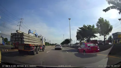
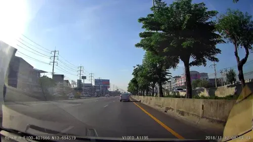
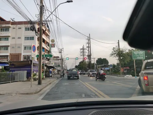
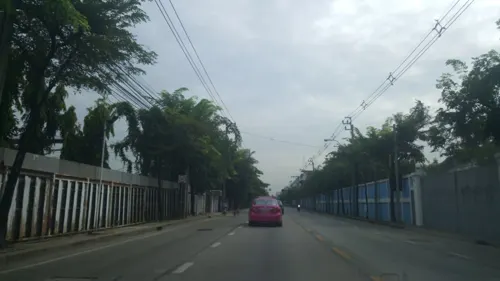
Photos of Ban Lak Song


Parks, trails and playgrounds4



Restaurants and cafes25
Kungtakrasedthee Bang Khae
Restaurant · Seafood · 1.0 km
20/2 ถนนกาญจนาภิเษก
Mo-Su 10:30-22:00
Starbucks Coffee สาขา The X-Place
Cafe · Coffee Shop · 1.2 km
60 ถนนกาญจนาภิเษก (ด้านตะวันตก) (ทางขนาน), บางแค
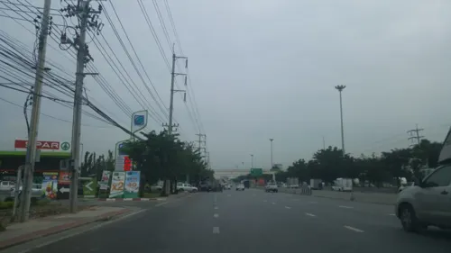
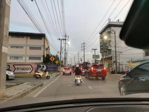

13 more on the map.
Where to stay1

Churches and places of worship6


Shopping26
Bakery Maker
Grocery · 1.6 km
88/44-45 สำเพ็ง 2 (ปากซอย 1) ถนนกัลปพฤกษ์, แขวงบางแค
Gas and EV charging6
Schools, colleges and libraries13
Healthcare14
Map of Ban Lak Song
95 places. The map loads OpenStreetMap tiles when you open it.
Getting there and nearby towns
Don Mueang International Airport (DMK) is the nearest airport with scheduled flights listed in OpenStreetMap, 33 km away.
- Bang Khae 1 km east, about 1 min by car
- Bang Bon 3 km south, about 3 min by car
- Bang Khun Thian 5 km southeast, about 5 min by car
- Phasi Charoen 5 km northeast, about 5 min by car
- Nong Khaem 6 km west, about 6 min by car
- Chom Thong 9 km east, about 9 min by car
- Bangkok Yai 9 km northeast, about 9 min by car
- Thon Buri 10 km northeast, about 10 min by car
- Thawi Watthana 11 km north, about 11 min by car
- Bangkok 13 km northeast, about 13 min by car
Drive times are estimates from straight-line distance, not routes.
Towns near Ban Lak Song


Keep exploring
Local news
Headlines from INDB.
Reviews, tips and questions
Loading what members have shared...
Sources and licences
- GeoNames (CC BY 4.0): population, coordinates, regions and time zone
- Mapillary (see each image): photos
- OpenStreetMap contributors (ODbL 1.0): places, airports, map data
- Wikidata (CC0 1.0): elevation, founding date, time zone, website, landmarks and historic places
- Wikimedia Commons (see each image): photos
Photo credits
- วัดม่วง - panoramio, easy4444, CC BY 3.0
- สวนเพชร1, Phoebus 28, CC BY-SA 4.0
- ปลาหน้าวัดม่วง - panoramio, easy4444, CC BY 3.0
- ISS059-E-75497 - View of Earth, Earth Science and Remote Sensing Unit, NASA Johnson Space Center, Public domain
- ISS020-E-30783 - View of Earth, Earth Science and Remote Sensing Unit , Lyndon B. Johnson Space Center, Public domain
- ISS020-E-30782 - View of Earth, Earth Science and Remote Sensing Unit , Lyndon B. Johnson Space Center, Public domain
- S spring snap, Ploytubtum, CC BY-SA 4.0
- TINT Radioactive wastes' barrel, ShinRyu Forgers, CC BY-SA 4.0
- TINT research reactor, ShinRyu Forgers, CC BY-SA 4.0
- แสงสีทอง, Thanaporn Sorrawitsakul, CC BY-SA 4.0
- Street-level photo, poramet, CC BY-SA 4.0
- Street-level photo, poramet, CC BY-SA 4.0
- Street-level photo, thipsirin, CC BY-SA 4.0
- Street-level photo, kasetitkml_pipitchai, CC BY-SA 4.0
- Street-level photo, lin_wang, CC BY-SA 4.0
- Street-level photo, lin_wang, CC BY-SA 4.0
- Street-level photo, kasetitkml_pipitchai, CC BY-SA 4.0
- Street-level photo, poramet, CC BY-SA 4.0
- Street-level photo, poramet, CC BY-SA 4.0
- Street-level photo, poramet, CC BY-SA 4.0
- Street-level photo, poramet, CC BY-SA 4.0
- Street-level photo, lin_wang, CC BY-SA 4.0
- Street-level photo, poramet, CC BY-SA 4.0
- Street-level photo, kasetitkml_pipitchai, CC BY-SA 4.0
- Street-level photo, kasetitkml_pipitchai, CC BY-SA 4.0
- Street-level photo, kasetitkml_pipitchai, CC BY-SA 4.0
- Street-level photo, poramet, CC BY-SA 4.0
- Street-level photo, kasetitkml_pipitchai, CC BY-SA 4.0
Page built November 10, 2026. Spotted a mistake? Tell us or suggest a place.