


Hang Dong, Thailand
เทศบาลตำบลหางดง
Hang Dong is a town of 17,931 people in Chiang Mai, Thailand, founded in January 7, 1957.
Why visit Hang Dong
Townapedia lists 1 museum or landmark, 4 parks and trails, 25 places to eat and 3 places to stay in and around town.
Highlights include Supthongkhum Sr Stidio 3.
Weather in Hang Dong
Forecast from MET Norway (CC BY 4.0). Full forecast
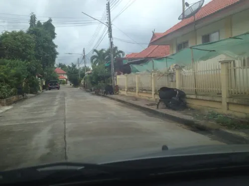
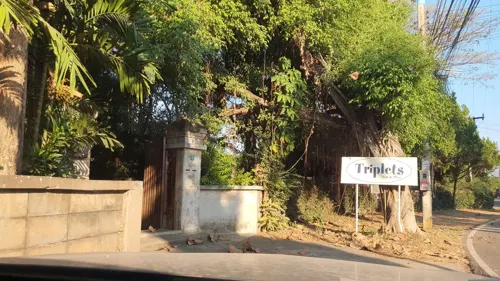
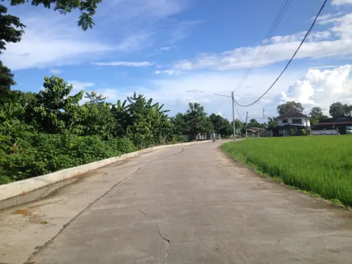
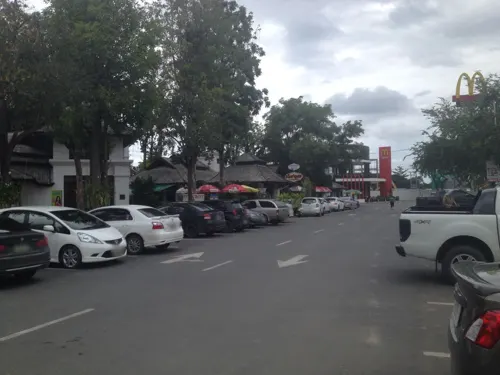
Photos of Hang Dong


Museums and landmarks1

Parks, trails and playgrounds4


Restaurants and cafes25
Baanrainaifun Organic Garden
Restaurant · 1.4 km
1 เลขที่ 198
Mo-Sa 08:30-17:00

Indy's
Restaurant · International, Pizza, Pasta · 1.2 km
Th-Tu 17:00-21:00
13 more on the map.
Where to stay3

Churches and places of worship7
Shopping8
Gas and EV charging6
Schools, colleges and libraries6
Healthcare3
Map of Hang Dong
63 places. The map loads OpenStreetMap tiles when you open it.
Getting there and nearby towns
Chiang Mai International Airport (CNX) is the nearest airport with scheduled flights listed in OpenStreetMap, 10 km away.
- San Pa Tong 7 km south, about 7 min by car
- Chiang Mai 13 km northeast, about 13 min by car
- Lamphun 15 km southeast, about 15 min by car
- Pa Sang 18 km south, about 18 min by car
- San Kamphaeng 22 km east, about 22 min by car
- Mae Tha 34 km southeast, about 34 min by car
- Chom Thong 40 km southwest, about 40 min by car
- Ban Pa Khaem 49 km north, about 49 min by car
- Lampang 75 km southeast, about 1 h 15 min by car
- Ban Mae Waen 75 km north, about 1 h 15 min by car
Drive times are estimates from straight-line distance, not routes.
Towns near Hang Dong


Keep exploring
Local news
Headlines from INDB.
Reviews, tips and questions
Loading what members have shared...
Sources and licences
- GeoNames (CC BY 4.0): population, coordinates, regions and time zone
- Mapillary (see each image): photos
- OpenStreetMap contributors (ODbL 1.0): places, airports, map data
- Wikidata (CC0 1.0): elevation, founding date, time zone, website, landmarks and historic places
- Wikimedia Commons (see each image): photos
Photo credits
- Aon07, Aonbigbazooka, CC BY-SA 3.0
- Panyaden school Chiang Mai 01, Takeaway, CC BY-SA 3.0
- Aon06, Aonbigbazooka, CC BY-SA 3.0
- Aon01, Aonbigbazooka, CC BY-SA 3.0
- Aon03, Aonbigbazooka, CC BY-SA 3.0
- Aon04, Aonbigbazooka, CC BY-SA 3.0
- Aon05, Aonbigbazooka, CC BY-SA 3.0
- Aon08, Aonbigbazooka, CC BY-SA 3.0
- Aon02, Aonbigbazooka, CC BY-SA 3.0
- วัดทรายมูล01, Namphung123456789or, CC BY-SA 3.0
- วัดทรายมูล04, Namphung123456789or, CC BY-SA 3.0
- วัดทรายมูล05, Namphung123456789or, CC BY-SA 3.0
- วัดทรายมูล02, Namphung123456789or, CC BY-SA 3.0
- วัดทรายมูล06, Namphung123456789or, CC BY-SA 3.0
- วัดทรายมูล03, Namphung123456789or, CC BY-SA 3.0
- Wu Na with guqin 02, Takeaway, CC BY-SA 3.0
- Wat Thao Kham Wang4, Jj01230, CC BY-SA 4.0
- วัดท้าวคำวัง, Bankkkkk, CC BY-SA 3.0
- Wat Thao Kham Wang5, Jj01230, CC BY-SA 4.0
- Wat Thao Kham Wang3, Jj01230, CC BY-SA 4.0
- Wat Thao Kham Wang2, Jj01230, CC BY-SA 4.0
- Wat Thao Kham Wang1, Jj01230, CC BY-SA 4.0
- PANYADEN ASSEMBLY HALL TOP, Nimromcai, CC BY-SA 4.0
- Panyaden school Chiang Mai 06, Takeaway, CC BY-SA 3.0
- Panyaden school Chiang Mai 03, Takeaway, CC BY-SA 3.0
- Panyaden school Chiang Mai 04, Takeaway, CC BY-SA 3.0
- Panyaden school Chiang Mai 07, Takeaway, CC BY-SA 3.0
- Panyaden school Chiang Mai 02, Takeaway, CC BY-SA 3.0
- Panyaden school Chiang Mai 05, Takeaway, CC BY-SA 3.0
- 2019 01 Yen tafo, Takeaway, CC BY-SA 4.0
- Street-level photo, jrcarlsen, CC BY-SA 4.0
- Street-level photo, jrcarlsen, CC BY-SA 4.0
- Street-level photo, jrcarlsen, CC BY-SA 4.0
- Street-level photo, jimwatana, CC BY-SA 4.0
- Street-level photo, jimwatana, CC BY-SA 4.0
- Street-level photo, jimwatana, CC BY-SA 4.0
- Street-level photo, jimwatana, CC BY-SA 4.0
- Street-level photo, prasert, CC BY-SA 4.0
- Street-level photo, mishari, CC BY-SA 4.0
- Street-level photo, jrcarlsen, CC BY-SA 4.0
- Street-level photo, jimwatana, CC BY-SA 4.0
- Street-level photo, jrcarlsen, CC BY-SA 4.0
- Street-level photo, chanuwath_grab, CC BY-SA 4.0
- Street-level photo, jrcarlsen, CC BY-SA 4.0
- Street-level photo, silamanee, CC BY-SA 4.0
- Street-level photo, jrcarlsen, CC BY-SA 4.0
- Street-level photo, noochjaree, CC BY-SA 4.0
- Street-level photo, jrcarlsen, CC BY-SA 4.0
- Street-level photo, jimwatana, CC BY-SA 4.0
- Street-level photo, jrcarlsen, CC BY-SA 4.0
- Street-level photo, jimwatana, CC BY-SA 4.0
- Street-level photo, jimwatana, CC BY-SA 4.0
- Street-level photo, jimwatana, CC BY-SA 4.0
- Street-level photo, jimwatana, CC BY-SA 4.0


Page built November 10, 2026. Spotted a mistake? Tell us or suggest a place.