


Aldenhoven, Germany
Aldenhoven is a town of 7,364 people in North Rhine-Westphalia, Germany.
Why visit Aldenhoven
Townapedia lists 90 museums and landmarks, 28 parks and trails, 79 places to eat, 6 places to stay and 8 attractions in and around town.
Highlights include Dein Landhof, Brückenkopf Park, Glück-Auf Museum and Bergsenkungsgebiet Bettendorfer Fließ.
Weather in Aldenhoven
Forecast from MET Norway (CC BY 4.0). Full forecast
About Aldenhoven
Aldenhoven (German pronunciation: [ˈaldn̩hoːfn̩]) is a municipality in the district of Düren in the state of North Rhine-Westphalia, Germany. It is located approximately 5 km south-west of Jülich, 5 km north of Eschweiler and 20 km north-east of Aachen.
From the Wikipedia article Aldenhoven (this version), under CC BY-SA 4.0.
Things to do8




Museums and landmarks90

Brückenkopf Park
Monument and historic site · 5.0 km
Mar-Oct: Mo-Su 09:00-18:00; Nov-Feb: Mo-Su 10:00-16:30

Glück-Auf Museum
Museum · 0.6 km
8a Dietrich-Mülfahrt-Straße, Aldenhoven
Apr 1- Oct 31 Th 17:00-23:00; Apr 1- Oct 31 Su 14:00-17:00; Nov...

Stationsweg zu Ehren der sieben Schmerzen Mariens
Monument and historic site · Catholic · 4.0 km
Von der Baronin Margareta von Loe (Haus Overbach) zur Abwendung der Pestgefahr Ende des 16. Jahrhunderts gestiftet. Die heutige...


Stationsweg zu Ehren der sieben Schmerzen Mariens
Monument and historic site · Catholic · 4.4 km
Von der Baronin Margareta von Loe (Haus Overbach) zur Abwendung der Pestgefahr Ende des 16. Jahrhunderts gestiftet. Die heutige...



Langweiler
Monument and historic site · 3.0 km
Archaeological site in the Merzbach Valley of Western Germany


Burg Dürboslar
Monument and historic site · 2.0 km
26 Burgstraße, Aldenhoven

Burg Engelsdorf
Monument and historic site · 2.1 km
1 Engelsdorfer Burg, Aldenhoven

Museum im Kulturhaus
Museum · 5.6 km
20 Kleine Rurstraße, Jülich
Sa-Su 11:00-18:00
78 more on the map.
Parks, trails and playgrounds28






16 more on the map.
Restaurants and cafes79
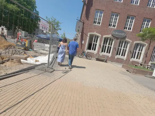

Cafe Extrablatt
Cafe · Burger, Pizza, Coffee Shop, Ice Cream, American · 5.8 km
11 Marktplatz, Jülich
Mo-Sa 08:00-24:00; Su,PH 09:30-24:00
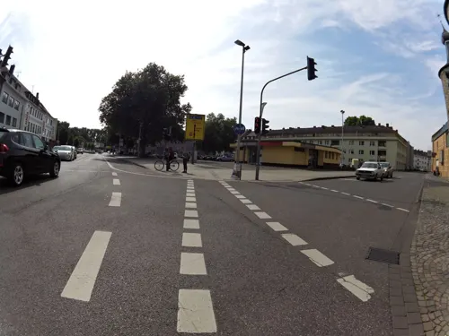
Hotel am Hexenturm
Restaurant · Croatian · 5.6 km
94 Große Rurstraße, Jülich
Mo-Su,PH 11:30-14:30,17:30-22:00

CAFÉ Mainz-Weitz
Cafe · 5.7 km
4-6 Marktstraße, Jülich
Mo-Fr 06:00-18:00; Sa 06:00-15:00; Su 10:00-18:00
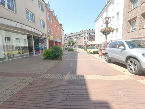
Landhaus Odinius
Restaurant · 3.3 km
45 Adenauerstraße, Jülich
Th-Sa 17:30-23:00; Su 11:30-14:00; PH 11:00-15:00
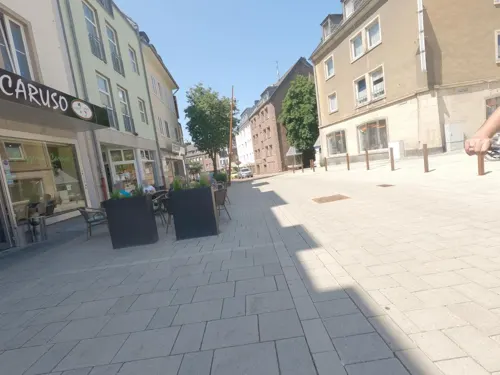
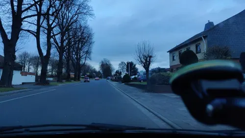
Restaurant Olympia
Restaurant · Greek · 0.8 km
48 Jülicher Straße, Aldenhoven
Mo,We,Th 17:00-23:00; Fr-Su 12:00-14:30,17:00-23:00; Tu off
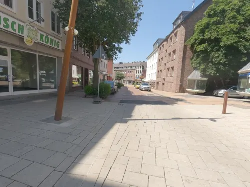


Schwan Bauernhofcafé
Cafe · 5.7 km
8 Marktplatz, Jülich
Mo, We-Sa 09:00-17:00; Tu off; Su, PH 10:00-17:00

Bäckerei Schneider
Bakery · 1.1 km
7 Matthäusstraße, Aldenhoven
Mo-Fr 06:00-18:00; Sa 06:00-15:00; Su 07:00-12:00
Bäckerei Schneider
Bakery · 3.4 km
56 Mühlenstraße, Aldenhoven
Mo-Fr 06:00-18:00; Sa 07:00-16:00; Su 07:00-12:00
67 more on the map.
Where to stay6
JUFA Energiewelt Indeland (Jugendgästehaus)
Motel and hotel · 5.0 km
13 Rurauenstraße, Jülich
Churches and places of worship30
Heilige Maurische Märtyrer
Church · Catholic · 3.1 km
3 Sankt-Mauri-Straße, Jülich
St. Adelgundis
Church · Roman Catholic · 3.8 km
9 Friedhofstraße, Jülich
St. Martin
Church · Roman Catholic · 4.7 km
2 Am Schrickenhof, Jülich
Shopping31
Gas and EV charging4
Schools, colleges and libraries10
Healthcare4
Map of Aldenhoven
250 places. The map loads OpenStreetMap tiles when you open it.
Getting there and nearby towns
Flugplatz Würselen-Aachen (AAH) is the nearest airport with scheduled flights listed in OpenStreetMap, 11 km away.
- Niedermerz 2 km southwest, about 2 min by car
- Jülich 6 km northeast, about 6 min by car
- Baesweiler 7 km west, about 7 min by car
- Alsdorf 9 km west, about 9 min by car
- Inden 8 km southeast, about 8 min by car
- Eschweiler 9 km south, about 9 min by car
- Linnich 9 km north, about 9 min by car
- Langerwehe 10 km southeast, about 10 min by car
- Übach-Palenberg 11 km west, about 11 min by car
- Herzogenrath 14 km west, about 14 min by car
Drive times are estimates from straight-line distance, not routes.
Local news
Headlines from INDB.
Reviews, tips and questions
Loading what members have shared...
Sources and licences
- GeoNames (CC BY 4.0): population, coordinates, regions and time zone
- Mapillary (see each image): photos
- OpenStreetMap contributors (ODbL 1.0): places, airports, map data
- Wikidata (CC0 1.0): elevation, founding date, time zone, website, landmarks and historic places
- Wikimedia Commons (see each image): photos
- Wikipedia (CC BY-SA 4.0): overview and history text
Photo credits
- St. Martin (Aldenhoven) 02, Thomas Hummel, CC BY-SA 4.0
- Aldenhoven – katholische Kirche St. Martin - panoramio, Edgar El, CC BY 3.0
- Aldenhoven Bucherschrank, R. J. Mathar, CC BY-SA 4.0
- Aldenhoven – katholische Kirche St. Martin - panoramio (1), giggel, CC BY 3.0
- Aldenhoven, toren bij kerk foto1 2010-09-05 14.03, Michielverbeek, CC BY-SA 3.0
- Aldenhoven, Gnadenkapelle, Michielverbeek, CC BY-SA 4.0
- Film 8005001n Aldenhoven Triebwagen Jülich - Aachen Nord, Raimund Jünger, CC BY-SA 4.0
- Aldenhoven Ende ehem. B 56, KlausMiniwolf, CC BY-SA 4.0
- Brueckenkopf01-DaB., de:Markus Schweiß, CC BY-SA 3.0
- Burg Dürboslar1-4, Burg_Dürboslar1.jpg : Eschweiler derivative work: Saibo ( Δ ), Public domain
- Burg Engelsorf Wohnbau Palas SW, Sir Gawain, CC BY-SA 3.0
- KommendeSiersdorfNordost, Sir Gawain, CC BY-SA 3.0
- HausOverbach-Bibliothek, David Mülheims, Gymnasium Haus Overbach, CC BY-SA 2.5
- Gymnasium Zitadelle Jülich - Pädagogisches Zentrum und Südflügel-4450, Raimond Spekking, CC BY-SA 4.0
- Jülich-Bourheim Denkmal-Nr. 67, Wasserburg Linzenich (908), Käthe und Bernd Limburg, www.limburg-bernd.de, CC BY-SA 3.0 de
- Bergmannshaus und Bergbaumuseum Aldenhoven, F. Fiedler, CC BY-SA 3.0
- Jülich-Barmen Denkmal-Nr. 45, Schloß Kellenberg (851), Käthe und Bernd Limburg, www.limburg-bernd.de, CC BY-SA 3.0 de
- Stadtbuecherei-Juelich, Christa Bartel, CC BY-SA 3.0
- St. Rochus Jülich 2009 8799, Elke Wetzig ( Elya ), CC BY-SA 3.0
- Jülich-Kirchberg Denkmal-Nr. 38, Am Schrickenhof 2 (821), Käthe und Bernd Limburg, www.limburg-bernd.de, CC BY-SA 3.0 de
- BourheimKirche, LittleBoyFromCrowdhousen at German Wikipedia, CC BY-SA 3.0 de
- Christuskirche Jülich-4457, Raimond Spekking, CC BY-SA 4.0
- Koslar, kerk foto1 2009-08-15 12.13, Michielverbeek, CC BY-SA 3.0
- St Martinus1, Bodoklecksel, CC BY-SA 3.0
- St. Pankratius (Ederen) 02, Thomas Hummel, CC BY-SA 4.0
- Graureiher im NSG Bergsenkungsgebiet Bettendorfer Fliess, Second-petra, CC BY-SA 4.0
- Matthäuskapelle (Neu-Pattern) 10, Thomas Hummel, CC BY-SA 4.0
- Gedächtniskapelle bei Neu Lohn, 822drei, CC BY-SA 4.0
- Jülich-Barmen Denkmal-Nr. 23d, An der Heide ( 250 m weiter als 23c) (788), Käthe und Bernd Limburg, www.limburg-bernd.de, CC BY-SA 3.0 de
- Jülich-Bourheim Denkmal-Nr. 67, Wasserburg Linzenich (907), Käthe und Bernd Limburg, www.limburg-bernd.de, CC BY-SA 3.0 de
- Jülich-Barmen Denkmal-Nr. 23a, Kirchgracht Richtung Sportplatz (785), Käthe und Bernd Limburg, www.limburg-bernd.de, CC BY-SA 3.0 de
- BourgBourheimSW, Sir Gawain, CC BY-SA 3.0
- Blausteinsee Segler, Bernd Brägelmann Braegel ., CC BY-SA 3.0
- NSG Prinzwingert WDPA ID 165043 Zugang III, NoRud, CC BY-SA 4.0
- Aldenhoven-Niedermerz Denkmal-Nr. 18, Hofbongardstraße (26), Käthe und Bernd Limburg, www.limburg-bernd.de, CC BY-SA 3.0 de
- Gedenkkapelle Lohn 10-2010, EveryPicture, CC BY-SA 3.0
- Linnich-Ederen Denkmal-Nr. 17, Brunnenstraße - Kapellenstraße (6543), Käthe und Bernd Limburg, www.limburg-bernd.de, CC BY-SA 3.0 de
- Schloss Kellenberg1, Bodoklecksel, CC BY-SA 3.0
- KommendeSiersdorfOst, Sir Gawain, CC BY-SA 3.0
- Linnich Denkmal-Nr. 1, Mahrstraße 40 (6529), Käthe und Bernd Limburg, www.limburg-bernd.de, CC BY-SA 3.0 de
- Street-level photo, madel, CC BY-SA 4.0
- Street-level photo, hektor1989, CC BY-SA 4.0
- Street-level photo, poxonline, CC BY-SA 4.0
- Street-level photo, hektor1989, CC BY-SA 4.0
- Street-level photo, hektor1989, CC BY-SA 4.0
- Street-level photo, hektor1989, CC BY-SA 4.0
- Street-level photo, hektor1989, CC BY-SA 4.0
- Street-level photo, madel, CC BY-SA 4.0
- Street-level photo, hektor1989, CC BY-SA 4.0
- Street-level photo, hektor1989, CC BY-SA 4.0
- Street-level photo, hektor1989, CC BY-SA 4.0
- Street-level photo, noel, CC BY-SA 4.0
- Street-level photo, hektor1989, CC BY-SA 4.0
- Street-level photo, raymond, CC BY-SA 4.0
- Street-level photo, hektor1989, CC BY-SA 4.0
- Street-level photo, hektor1989, CC BY-SA 4.0
- Street-level photo, FahrradstadtAachen, CC BY-SA 4.0
- Street-level photo, hektor1989, CC BY-SA 4.0
- Street-level photo, noel, CC BY-SA 4.0
- Street-level photo, hektor1989, CC BY-SA 4.0
- Street-level photo, mfa, CC BY-SA 4.0
- Street-level photo, hektor1989, CC BY-SA 4.0


Page built November 9, 2026. Spotted a mistake? Tell us or suggest a place.