


Niedermerz, Germany
Niedermerz is a town of 1,012 people in North Rhine-Westphalia, Germany.
Why visit Niedermerz
Townapedia lists 9 museums and landmarks, 4 parks and trails, 14 places to eat and 1 place to stay in and around town.
Highlights include Glück-Auf Museum, Langweiler and Schlangengraben.
Weather in Niedermerz
Forecast from MET Norway (CC BY 4.0). Full forecast
Museums and landmarks9

Glück-Auf Museum
Museum · 1.8 km
8a Dietrich-Mülfahrt-Straße, Aldenhoven
Apr 1- Oct 31 Th 17:00-23:00; Apr 1- Oct 31 Su 14:00-17:00; Nov...

Langweiler
Monument and historic site · 1.0 km
Archaeological site in the Merzbach Valley of Western Germany
Ludwig-Gall-Haus
Monument and historic site · 2.1 km
66 Alte Turmstraße, Aldenhoven
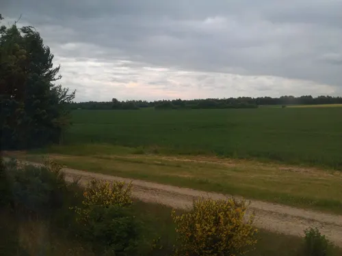
Parks, trails and playgrounds4



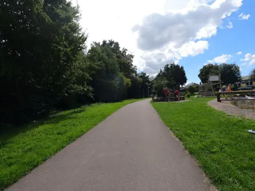
Restaurants and cafes14

Bäckerei Schneider
Bakery · 1.2 km
7 Matthäusstraße, Aldenhoven
Mo-Fr 06:00-18:00; Sa 06:00-15:00; Su 07:00-12:00
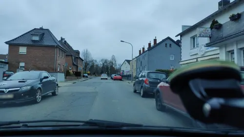
Da Franco
Restaurant · Italian · 2.0 km
14 Marienstraße
Fr-Su 18:00-23:00; Mo-Th off
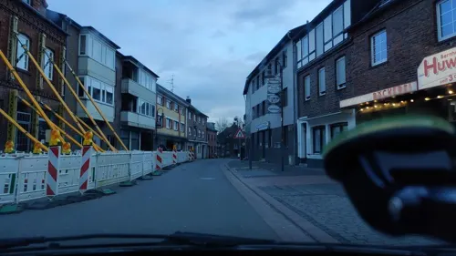
Backshop Ak
Bakery · 2.0 km
12 Alte Turmstraße, Aldenhoven
Mo-Sa 05:00-14:00; Su 05:00-12:00
Cafe Bremen
Cafe · 2.0 km
10 Frauenrather Straße, Aldenhoven
Mo-Fr 06:30-17:30; Sa 06:30-13:00; Su 08:00-16:30
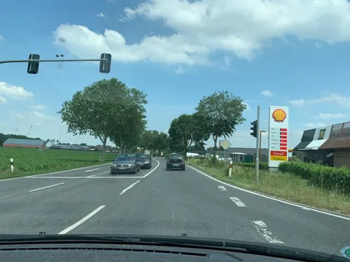
McDonald's
Fast food · Burger · 1.4 km
42 Kapuzinerstraße, Aldenhoven
Mo-Fr 00:00-01:00,08:30-24:00; Sa-Su 00:00-03:00,08:30-24:00
2 more on the map.
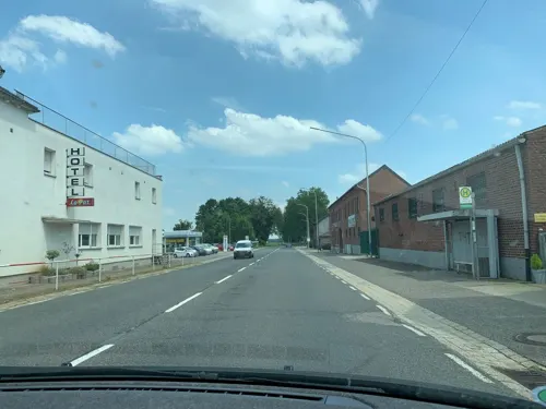
Where to stay1


Churches and places of worship9
Shopping7
Gas and EV charging3
Schools, colleges and libraries1
Healthcare2
Map of Niedermerz
50 places. The map loads OpenStreetMap tiles when you open it.
Getting there and nearby towns
Flugplatz Würselen-Aachen (AAH) is the nearest airport with scheduled flights listed in OpenStreetMap, 9 km away.
- Baesweiler 6 km northwest, about 6 min by car
- Eschweiler 7 km south, about 7 min by car
- Alsdorf 7 km west, about 7 min by car
- Jülich 8 km northeast, about 8 min by car
- Langerwehe 9 km southeast, about 9 min by car
- Übach-Palenberg 11 km west, about 11 min by car
- Linnich 11 km north, about 11 min by car
- Würselen 12 km southwest, about 12 min by car
- Stolberg 12 km south, about 12 min by car
- Herzogenrath 12 km west, about 12 min by car
Drive times are estimates from straight-line distance, not routes.
Local news
Headlines from INDB.
Reviews, tips and questions
Loading what members have shared...
Sources and licences
- GeoNames (CC BY 4.0): population, coordinates, regions and time zone
- Mapillary (see each image): photos
- OpenStreetMap contributors (ODbL 1.0): places, airports, map data
- Wikidata (CC0 1.0): elevation, founding date, time zone, website, landmarks and historic places
- Wikimedia Commons (see each image): photos
Photo credits
- Bergmannshaus und Bergbaumuseum Aldenhoven, F. Fiedler, CC BY-SA 3.0
- St. Martin (Aldenhoven) 02, Thomas Hummel, CC BY-SA 4.0
- Aldenhoven Denkmal-Nr. 15, Dietrich-Mülfahrt-Straße (19), Käthe und Bernd Limburg, www.limburg-bernd.de, CC BY-SA 3.0 de
- St. Nikolaus (Schleiden) 01, Thomas Hummel, CC BY-SA 4.0
- Matthäuskapelle (Neu-Pattern) 10, Thomas Hummel, CC BY-SA 4.0
- Aldenhoven-Niedermerz Denkmal-Nr. 18, Hofbongardstraße (26), Käthe und Bernd Limburg, www.limburg-bernd.de, CC BY-SA 3.0 de
- Film 8005001n Aldenhoven Triebwagen Jülich - Aachen Nord, Raimund Jünger, CC BY-SA 4.0
- Aldenhoven, Gnadenkapelle, Michielverbeek, CC BY-SA 4.0
- Aldenhoven, toren bij kerk foto1 2010-09-05 14.03, Michielverbeek, CC BY-SA 3.0
- Aldenhoven – katholische Kirche St. Martin - panoramio (1), giggel, CC BY 3.0
- 5723700.Erwin Quedenfeldt, Erwin Quedenfeldt, Public domain
- Aldenhoven Bucherschrank, R. J. Mathar, CC BY-SA 4.0
- Aldenhoven – katholische Kirche St. Martin - panoramio, Edgar El, CC BY 3.0
- Gedenkstein für Erberich, 822drei, CC BY-SA 4.0
- Blausteinsee, Peter Tritthart, CC BY 3.0
- Aldenhoven Ende ehem. B 56, KlausMiniwolf, CC BY-SA 4.0
- Street-level photo, noel, CC BY-SA 4.0
- Street-level photo, FahrradstadtAachen, CC BY-SA 4.0
- Street-level photo, madel, CC BY-SA 4.0
- Street-level photo, poxonline, CC BY-SA 4.0
- Street-level photo, madel, CC BY-SA 4.0
- Street-level photo, madel, CC BY-SA 4.0
- Street-level photo, poxonline, CC BY-SA 4.0
- Street-level photo, madel, CC BY-SA 4.0
- Street-level photo, madel, CC BY-SA 4.0
- Street-level photo, poxonline, CC BY-SA 4.0
- Street-level photo, madel, CC BY-SA 4.0
- Street-level photo, poxonline, CC BY-SA 4.0
- Street-level photo, noel, CC BY-SA 4.0
- Street-level photo, thomas_munichways, CC BY-SA 4.0
- Street-level photo, madel, CC BY-SA 4.0
- Street-level photo, poxonline, CC BY-SA 4.0
- Street-level photo, hektor1989, CC BY-SA 4.0
- Street-level photo, madel, CC BY-SA 4.0
- Street-level photo, FahrradstadtAachen, CC BY-SA 4.0
- Street-level photo, madel, CC BY-SA 4.0
- Street-level photo, poxonline, CC BY-SA 4.0
- Street-level photo, poxonline, CC BY-SA 4.0
- Street-level photo, zuse, CC BY-SA 4.0
- Street-level photo, poxonline, CC BY-SA 4.0
- Street-level photo, hektor1989, CC BY-SA 4.0


Page built November 9, 2026. Spotted a mistake? Tell us or suggest a place.