


Why visit Inden
Townapedia lists 71 museums and landmarks, 33 parks and trails, 31 places to eat, 2 places to stay and 10 attractions in and around town.
Highlights include Goltsteinkuppe, Halde Nierchen, Töpfereimuseum and Jüdischer Friedhof Weisweiler.
Weather in Inden
Forecast from MET Norway (CC BY 4.0). Full forecast
About Inden
Inden (German pronunciation: [ˈɪndn̩]) is a municipality in the district of Düren in the state of North Rhine-Westphalia, Germany. It is located on the river Inde, approx. 10 km north-west of Düren. In the area around Inden lignite is extracted in open-pit mines.
From the Wikipedia article Inden, North Rhine-Westphalia (this version), under CC BY-SA 4.0.
Things to do10



Hofladen Feucht
Farm and orchard · 4.3 km
Th,Fr 09:00-18:00; Sa 09:00-13:00; PH off

Tagebau Inden - Aussichtspunkt Schophoven
Scenic view · 4.2 km
View of Tagebau Inden

Museums and landmarks71





David Leyens
Monument and historic site · 3.3 km
Adresse ist nach heutiger Zählung Hauptstraße 44 (früher 46)

Elsa Leyens
Monument and historic site · 3.3 km
Adresse ist nach heutiger Zählung Hauptstraße 44 (früher 46)

Erlebnisstation 13 Kleiner Indemann an der Rur
Monument and historic site · 5.2 km
Silhouette: Kleiner Indemann an der Rur Ausstattung: Fahrradbügel Tisch-Bank-Kombination

Erlebnisstation 14 Mutter aus Inden
Monument and historic site · 4.2 km
Silhouette: Mutter aus Inden Ausstattung: Fahrradbügel Informationsstele Hörstation Tisch-Bank-Kombination


59 more on the map.
Parks, trails and playgrounds33


Rocolinos Kinderwelt
Playground · 5.3 km
ACHTUNG!!! Runtergekommen und teils gefährlich ungewartet!
Mo-Fr 14:00-18:30; Sa,Su,PH 10:30-18:30


Ruraue vom Merkener Busch bis zum Rurauenwald Indemündung
Hiking and trails · 4.2 km

21 more on the map.
Restaurants and cafes31
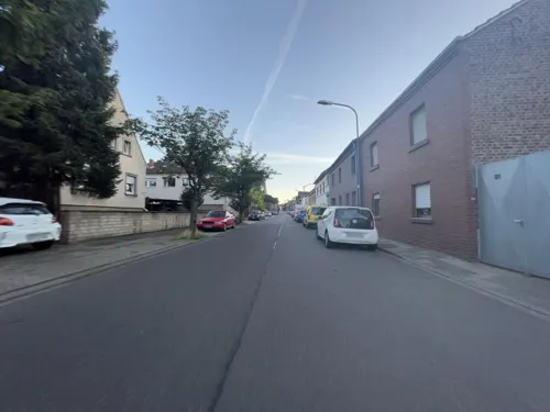

Grillstübchen Weisweiler
Restaurant · German, Regional · 3.4 km
12 Hauptstraße, Eschweiler
Mo-Fr 11:00-14:00,17:00-21:00; Sa off; Su 12:00-21:00
Indemann 1
Restaurant · International · 1.0 km
1 Indemann, Inden
We-Fr 12:00-20:00; Sa,Su 10:00-20:00; Mo,Tu off
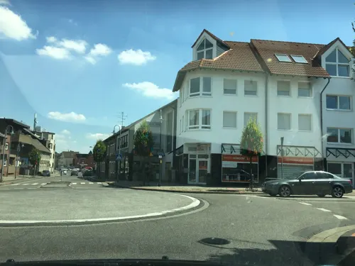
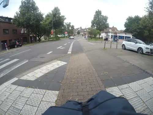
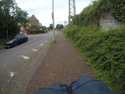
Mediterran
Restaurant · 2.9 km
17 Ulhausgasse, Langerwehe
Mo off; Tu-Sa 11:30-14:30,17:30-23:00; Su,PH 11:30-23:00
Ristorante Pizzeria La Vita
Restaurant · Italian · 4.0 km
49 Am Weiherhof, Langerwehe
Tu-Th,Su 11:00-22:00, Fr-Sa 11:00-23:00
Gaststätte Silvia Müller
Restaurant · Chicken, Regional, German · 1.3 km
3 Unterstraße, Inden
We-Fr 18:00-21:00;Sa 18:00-21:00 open "Reservierung empfohlen"; Su...



19 more on the map.
Where to stay2
Churches and places of worship30
Kapelle zur Hl. Bernadette
Church · Catholic · 3.8 km
17 Beethovenstraße, Langerwehe
Pfarrkirche St. Martin
Church · Catholic · 2.7 km
75 Hauptstraße, Langerwehe
St. Michael
Church · Roman Catholic · 4.5 km
13 Steinbißstraße, Düren
Shopping12
Eisen- und Haushaltswaren Wirtz
Hardware store · 2.9 km
120 Hauptstraße, Langerwehe
Gas and EV charging3
Schools, colleges and libraries10
Healthcare3
Map of Inden
205 places. The map loads OpenStreetMap tiles when you open it.
Getting there and nearby towns
Flugplatz Würselen-Aachen (AAH) is the nearest airport with scheduled flights listed in OpenStreetMap, 13 km away.
- Langerwehe 3 km south, about 3 min by car
- Eschweiler 7 km southwest, about 7 min by car
- Jülich 9 km north, about 9 min by car
- Niederzier 9 km northeast, about 9 min by car
- Niedermerz 8 km northwest, about 8 min by car
- Düren 10 km southeast, about 10 min by car
- Stolberg 12 km southwest, about 12 min by car
- Alsdorf 14 km west, about 14 min by car
- Baesweiler 14 km northwest, about 14 min by car
- Kreuzau 14 km southeast, about 14 min by car
Drive times are estimates from straight-line distance, not routes.
Local news
Headlines from INDB.
Reviews, tips and questions
Loading what members have shared...
Sources and licences
- GeoNames (CC BY 4.0): population, coordinates, regions and time zone
- Mapillary (see each image): photos
- OpenStreetMap contributors (ODbL 1.0): places, airports, map data
- Wikidata (CC0 1.0): elevation, founding date, time zone, website
- Wikimedia Commons (see each image): photos
- Wikipedia (CC BY-SA 4.0): overview and history text
Photo credits
- Inden City 2, No machine-readable author provided. Papa1234 assumed (based on copyright claims)., Public domain
- Inden-Altdorf Bucherschrank, R. J. Mathar, CC BY-SA 4.0
- Luftaufnahme Indemann, Tagebau Inden-0192, Raimond Spekking, CC BY-SA 4.0
- St. Clemens und St. Pankratius, Inden-Altdorf-2364, Raimond Spekking, CC BY-SA 4.0
- Absetzer 737 im Tagebau Inden-2476, Raimond Spekking, CC BY-SA 4.0
- Absetzer 737 im Tagebau Inden, crop-2476, Raimond Spekking, CC BY-SA 4.0
- Absetzer 737 im Tagebau Inden-2378, Raimond Spekking, CC BY-SA 4.0
- Absetzer 737 im Tagebau Inden-2379, Raimond Spekking, CC BY-SA 4.0
- Tagebau Inden-2367-77, Raimond Spekking, CC BY-SA 4.0
- Eschweiler-Weisweiler, Burg Weisweiler, Eschweiler, Public domain
- Karlsburg Kammerbusch, Langerwehe (8), ArthurMcGill, CC BY-SA 4.0
- Inden-Schophoven Denkmal-Nr. 36, Burg Müllenark (714), Käthe und Bernd Limburg, www.limburg-bernd.de, CC BY-SA 3.0 de
- Jüdischer Friedhof Weisweiler 02, Papa1234, CC BY 3.0
- St. Michael (Echtz) 03, Thomas Hummel, CC BY-SA 4.0
- Langerwehe-Merode Denkmal-Nr. 18, Kreuzherrenstr. 1 (1146), Käthe und Bernd Limburg, www.limburg-bernd.de, CC BY-SA 3.0 de
- Langerwehe Denkmal-Nr. 3, Pastoratsweg 1 (1119), Käthe und Bernd Limburg, www.limburg-bernd.de, CC BY-SA 3.0 de
- Halde Nierchen Gesamtsicht, EveryPicture, CC BY-SA 3.0
- Alte Kirche auf dem Rymelsberg (Langerwehe) 01, Thomas Hummel, CC BY-SA 4.0
- Langerwehe, kerk foto6 2011-03-24 13.13, Michielverbeek, CC BY-SA 3.0
- Jüngersdorf, No machine-readable author provided. Papa1234 assumed (based on copyright claims)., Public domain
- St. Barbara (Schophoven) 01, Thomas Hummel, CC BY-SA 4.0
- St. Martinus Schlich 1, Kilind, CC BY-SA 4.0
- Inden-Schophoven Denkmal-Nr. 38, Viehöven (721), Käthe und Bernd Limburg, www.limburg-bernd.de, CC BY-SA 3.0 de
- Kalkofen NSG östl. Schönthal, Langerwehe, ArthurMcGill, CC BY-SA 4.0
- Evangelische Kirche (Inden Altdorf) (1), Chris06, CC BY-SA 4.0
- Gedächtniskapelle bei Neu Lohn, 822drei, CC BY-SA 4.0
- Stolperstein Eschweiler David Leyens, NDG, CC BY-SA 4.0
- Stolperstein Eschweiler Elsa Leyens, Schmuntel, CC BY-SA 4.0
- Auferstehungskirche Weisweiler, EveryPicture, CC BY-SA 3.0
- Gedenkkapelle Lohn 10-2010, EveryPicture, CC BY-SA 3.0
- Weisweiler, kerk foto20 2011-03-24 13.53, Michielverbeek, CC BY-SA 3.0
- Bernadettekapelle Obergeich 1, Kilind, CC BY-SA 4.0
- Luftaufnahme Karlsburg Landschaftsgarten Kammerbusch 2025-08-16-2, NDG, CC BY-SA 4.0
- Langerwehe Denkmal-Nr. 11, An Gut Kammerbusch (1137), Käthe und Bernd Limburg, www.limburg-bernd.de, CC BY-SA 3.0 de
- Luftaufnahme Halde Nierchen 2025-08-10, NDG, CC BY-SA 4.0
- Marienkapelle Jüngersdorf, Cyberolm, CC BY-SA 4.0
- Weisweiler Kirche, EveryPicture, CC BY-SA 3.0
- Luftaufnahme Indemann mit Spielplatz und Minigolf-0191, Raimond Spekking, CC BY-SA 4.0
- Luftaufnahme Lucherberg und Lucherberger See-0193, Raimond Spekking, CC BY-SA 4.0
- Luftaufnahme Fußballgolf am Indemann, Lucherberg und Lucherberger See-0193, Raimond Spekking, CC BY-SA 4.0
- Tagebau Inden, gesehen von der Goltsteinkuppe-0178, Raimond Spekking, CC BY-SA 4.0
- Indemann, 360 Grad Panorama-0011257, Raimond Spekking, CC BY-SA 4.0
- Erlebnisstation 13 Kleiner Indemann an der Rur - Informationsstele, Clisch, CC BY-SA 4.0
- Erlebnisstation 14 Mutter aus Inden, Clisch, CC BY-SA 4.0
- Street-level photo, tyomox, CC BY-SA 4.0
- Street-level photo, mfa, CC BY-SA 4.0
- Street-level photo, noel, CC BY-SA 4.0
- Street-level photo, mfa, CC BY-SA 4.0
- Street-level photo, mfa, CC BY-SA 4.0
- Street-level photo, walldi222, CC BY-SA 4.0
- Street-level photo, walldi222, CC BY-SA 4.0
- Street-level photo, hektor1989, CC BY-SA 4.0
- Street-level photo, tobiasreg, CC BY-SA 4.0
- Street-level photo, tordans, CC BY-SA 4.0
- Street-level photo, noel, CC BY-SA 4.0
- Street-level photo, noel, CC BY-SA 4.0
- Street-level photo, hektor1989, CC BY-SA 4.0
- Street-level photo, mfa, CC BY-SA 4.0
- Street-level photo, tobiasreg, CC BY-SA 4.0
- Street-level photo, noel, CC BY-SA 4.0
- Street-level photo, tobiasreg, CC BY-SA 4.0
- Street-level photo, tordans, CC BY-SA 4.0
- Street-level photo, peewee32, CC BY-SA 4.0
- Street-level photo, peewee32, CC BY-SA 4.0
- Street-level photo, mfa, CC BY-SA 4.0
- Street-level photo, trockennasenaffe, CC BY-SA 4.0
- Street-level photo, peewee32, CC BY-SA 4.0
- Street-level photo, hektor1989, CC BY-SA 4.0
- Street-level photo, peewee32, CC BY-SA 4.0
- Street-level photo, mfa, CC BY-SA 4.0
- Street-level photo, hektor1989, CC BY-SA 4.0


Page built November 9, 2026. Spotted a mistake? Tell us or suggest a place.