


Why visit Algermissen
Townapedia lists 19 museums and landmarks, 3 parks and trails, 21 places to eat, 4 places to stay and 7 attractions in and around town.
Highlights include Heidelberg, Hanover Tramway Museum, Heimatmuseum and Wätzumer Tonkuhle.
Weather in Algermissen
Forecast from MET Norway (CC BY 4.0). Full forecast
About Algermissen
Algermissen is a village and a municipality in the district of Hildesheim, in Lower Saxony, Germany. It is situated approximately 12 km north of Hildesheim, and 20 km southeast of Hanover. The name of the town originates from a prominent German family who lived in the area until the Revolutions of 1848, the Algermissens were of the revolutionary party and were driven from Germany when the revolution was suppressed. Part of the family relocated to Missouri, in the United States, but the town continued to bear their name.
From the Wikipedia article Algermissen (this version), under CC BY-SA 4.0.
Things to do7


Museums and landmarks19

Hannoversches Fernmeldemuseum
Museum · 4.5 km
2 Am Straßenbahnmuseum, Sehnde
https://www.fernmeldeclub.de/offen.html
Norddeutsches Museum für HiFi- und Studiotechnik
Museum · 4.6 km
2 Am Straßenbahnmuseum, Sehnde
https://hifimuseumnord.de/besucherinfos/

Kirchenanlage und Stümpelhof
Monument and historic site · 4.3 km
Ensemble um die Kirchenanlage und die große Hofanlage. Erstmals erwähnt im 9. Jahrundert


7 more on the map.
Parks, trails and playgrounds3



Restaurants and cafes21
Gasthaus Baule
Restaurant · Regional, German · 4.8 km
52 Kaiserstraße, Harsum
Mo-Su 17:00+; Su 11:30-14:00
Gasthaus Wöhleke
Bar and pub · 3.6 km
27 Leineweberstraße, Algermissen
Tu,Fr-Su 17:00-23:00

Engelke
Bakery
27;31 Marktstraße, Algermissen
Mo-Fr 05:30-18:00, Sa 05:30-13:00, Su 07:00-16:00
Engelke
Bakery · 5.1 km
20 Kaiserstraße, Harsum
Mo-Fr 06:00-18:00; Sa 06:00-12:00; Su 08:00-11:00


9 more on the map.
Where to stay4
Churches and places of worship23
Shopping9
Gas and EV charging4
Schools, colleges and libraries8
Healthcare3
Map of Algermissen
101 places. The map loads OpenStreetMap tiles when you open it.
Getting there and nearby towns
Hannover Airport (HAJ) is the nearest airport with scheduled flights listed in OpenStreetMap, 30 km away.
- Harsum 5 km south, about 5 min by car
- Sehnde 7 km north, about 7 min by car
- Hohenhameln 6 km east, about 6 min by car
- Sarstedt 8 km west, about 8 min by car
- Hildesheim 11 km south, about 11 min by car
- Schellerten 12 km southeast, about 12 min by car
- Lehrte 13 km north, about 13 min by car
- Laatzen 14 km northwest, about 14 min by car
- Pattensen 14 km west, about 14 min by car
- Ilsede 16 km east, about 16 min by car
Drive times are estimates from straight-line distance, not routes.
Local news
Headlines from INDB.
Reviews, tips and questions
Loading what members have shared...
Sources and licences
- GeoNames (CC BY 4.0): population, coordinates, regions and time zone
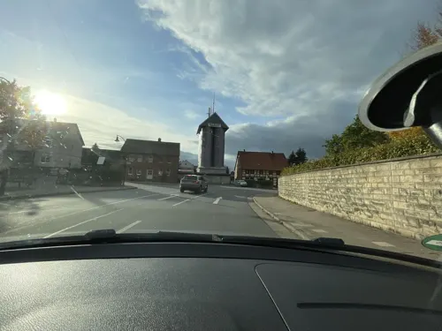
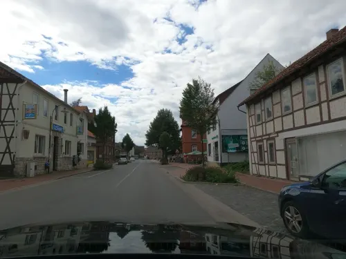
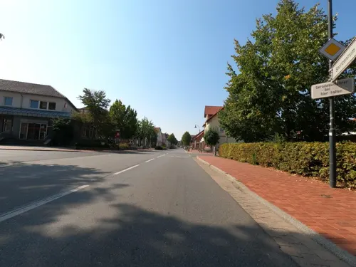
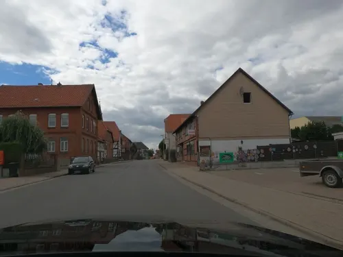
- Mapillary (see each image): photos
- OpenStreetMap contributors (ODbL 1.0): places, airports, map data
- Wikidata (CC0 1.0): elevation, founding date, time zone, website
- Wikimedia Commons (see each image): photos
- Wikipedia (CC BY-SA 4.0): overview and history text
Photo credits
- Algermissen Fern, Rabanus Flavus, Public domain
- Bahnhof Algermissen mit Wirtshaus zum Lokschuppen (geo.hlipp.de 148869), Schlosser67, CC BY-SA 2.0
- Kanaldeckel Algermissen Bahnsteig P7270004, Schlosser67, CC BY-SA 4.0
- Strassenbahnmuseum Hannover Panorama, AxelHH, CC BY-SA 3.0
- St martin luehnde 2, Rabanus Flavus, Public domain
- St Cäcilia Harsum Südost, Kassandro (changes by Rabanus Flavus ), CC BY-SA 4.0
- St.-Georg-Kirche zu Bledeln (Algermissen) IMG 3671, Losch at German Wikipedia, CC BY-SA 3.0
- Josefbolzum1, Rabanus Flavus, Public domain
- Algermissen St Matthaeus West, Rabanus Flavus, Public domain
- Algermissen St Mauritius Kapelle, Rabanus Flavus, Public domain
- Bolzum St Nikolai, Rabanus Flavus, Public domain
- St.-Dionysus-Kirche-3120, Herbert Weber, Hildesheim, CC BY-SA 4.0
- Kirchstraße 10 Hotteln Sarstedt, Clemensfranz, CC BY-SA 4.0
- Kirchstraße 11 Hotteln Sarstedt 03, Clemensfranz, CC BY-SA 4.0
- Sarstedt Hotteln Kirche, Clemensfranz, CC BY-SA 3.0
- Waetzumer-tonkuhle9196-Pano, Herbert Weber, Hildesheim, CC BY-SA 4.0
- Vollmondaufgang über dem Schilf der Wätzumer Tonkuhle, Gmjemaw, CC BY-SA 4.0
- Panorama Wätzumer Tonkuhle Richtung Ost- bis Südufer mit dem gerade aufgegangenen Vollmond, Gmjemaw, CC BY-SA 4.0
- Wätzumer Tonkuhle mit Vollmond über dem Ufer, Gmjemaw, CC BY-SA 4.0
- Waetzumer-tonkuhle 9157-Pano, Herbert Weber, Hildesheim, CC BY-SA 4.0
- Waetzumer-tonkuhle 9163-Pano, Herbert Weber, Hildesheim, CC BY-SA 4.0
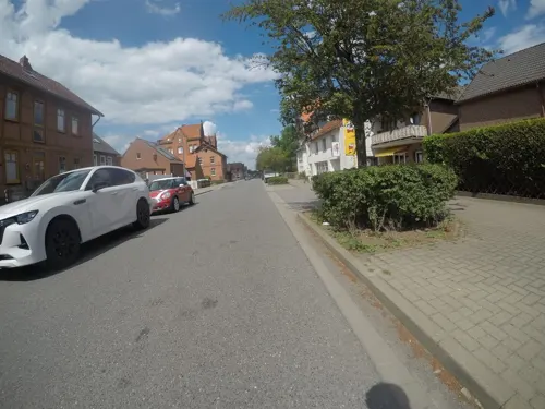
- Street-level photo, cageythree, CC BY-SA 4.0
- Street-level photo, cageythree, CC BY-SA 4.0
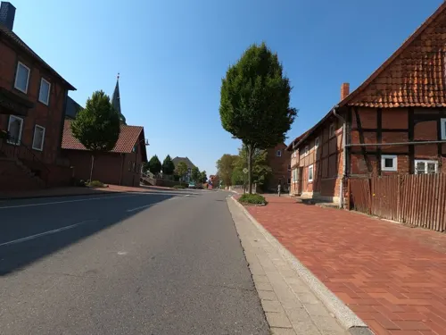
- Street-level photo, maturion, CC BY-SA 4.0
- Street-level photo, maturion, CC BY-SA 4.0
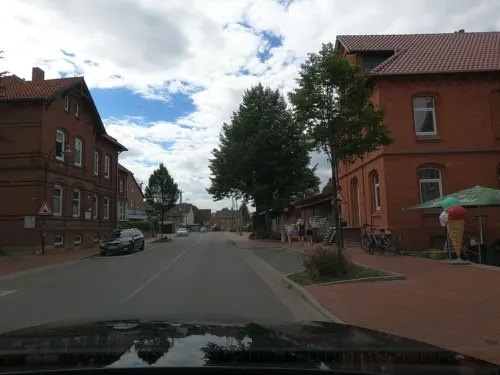
- Street-level photo, skjall, CC BY-SA 4.0
- Street-level photo, ramap, CC BY-SA 4.0
- Street-level photo, cageythree, CC BY-SA 4.0
- Street-level photo, Langfahrer, CC BY-SA 4.0
- Street-level photo, skjall, CC BY-SA 4.0
- Street-level photo, skjall, CC BY-SA 4.0
- Street-level photo, maturion, CC BY-SA 4.0
- Street-level photo, Langfahrer, CC BY-SA 4.0
- Street-level photo, skjall, CC BY-SA 4.0
- Street-level photo, skjall, CC BY-SA 4.0
- Street-level photo, skjall, CC BY-SA 4.0
- Street-level photo, Langfahrer, CC BY-SA 4.0
- Street-level photo, skjall, CC BY-SA 4.0
- Street-level photo, mfa, CC BY-SA 4.0
- Street-level photo, teddy73, CC BY-SA 4.0


Page built November 9, 2026. Spotted a mistake? Tell us or suggest a place.